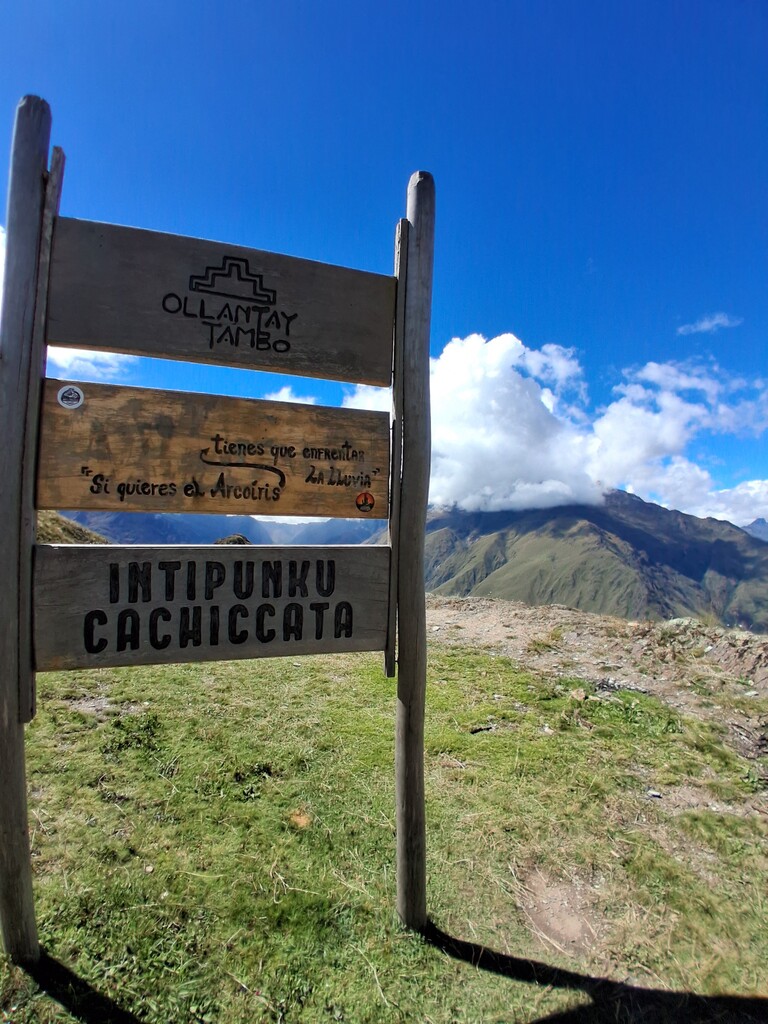
Intipunku is a physically demanding route due to its sustained elevation gain and high altitude.
Start point: Puente Inka (Ollantaytambo)
Access: From Urubamba, I took a local colectivo at 7:15 a.m. (35 min from point to point) directly to Ollantaytambo (3 soles, < $1), getting dropped off at the trailhead.
Route stats:
- Distance (one way): 8.2 km
- Elevation gain: 1,100 m
- Highest point: ~3,900–4,000 m.a.s.l.
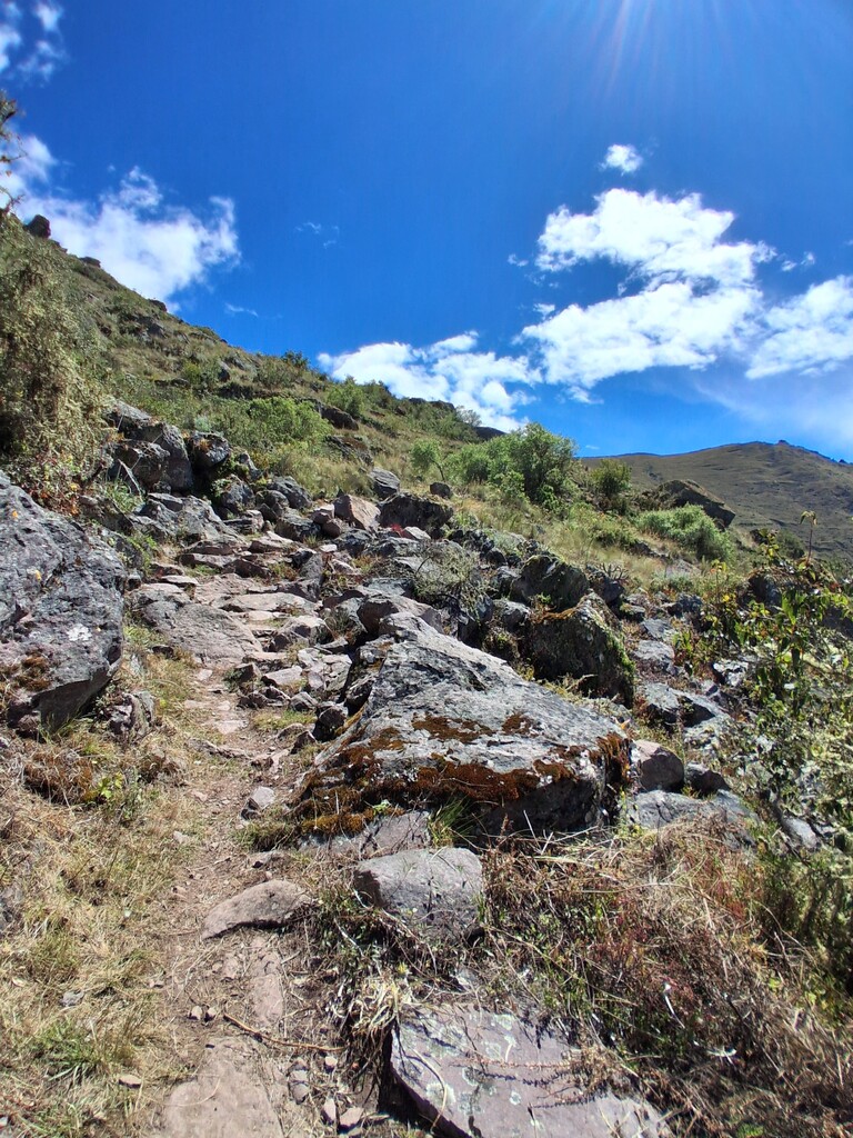
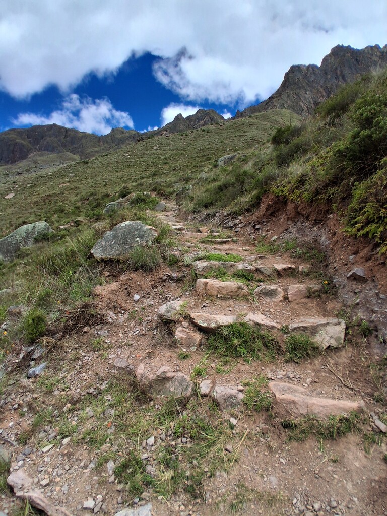
- Terrain: Mixed (dirt trail, stone paths, Inca trail sections)
- Water/Food: None on route
This session consisted of two ascents: the first to attempt the FKT, and the second to document the route.
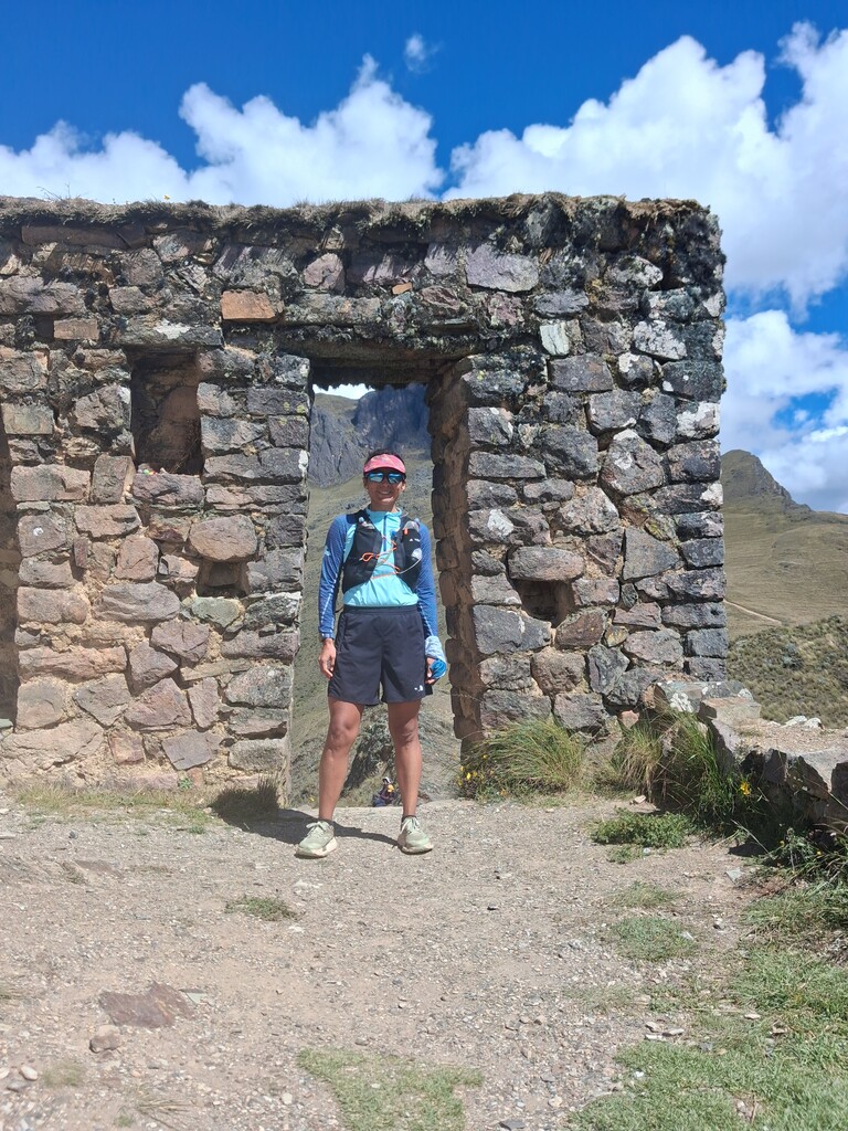
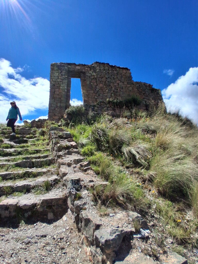
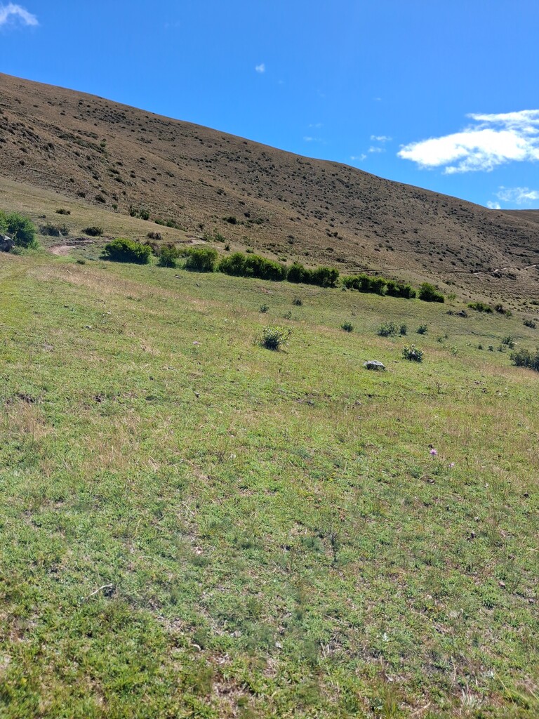
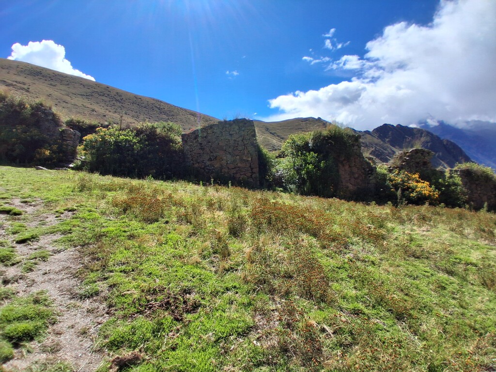
The initial section is runnable, with gradual elevation gain. After kilometer 4.5 to 6, the gradient increases significantly, becoming the most physically demanding part of the climb. The route passes ancient chullpas, followed by a small valley that signals the beginning of the final push toward Intipunku (Sun Gate).
The final kilometers are exposed and can be cold and windy. I put on a windbreaker before reaching the summit. After a quick photo and video at the top, I descended immediately to begin the second ascent at a controlled effort while documenting the route.
There are no aid stations or resupply points along the route, so all hydration and nutrition must be carried. However, approximately 500 meters past Puente Inka (left-hand side), there is a small local shop where I refueled before starting the second climb.
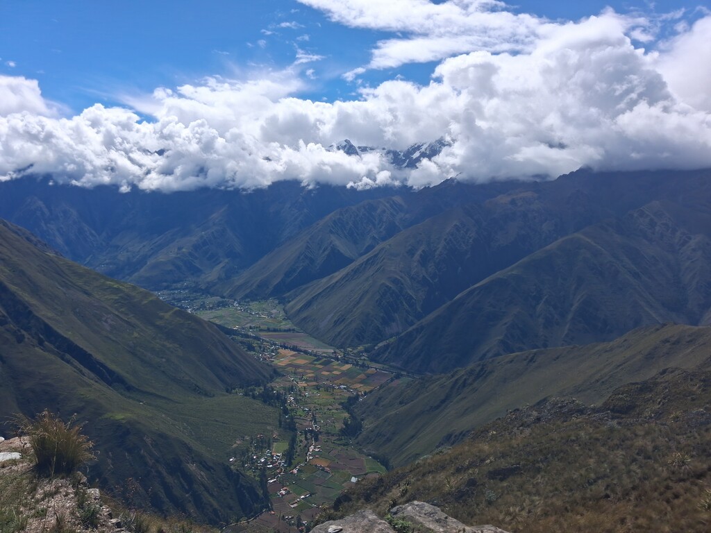
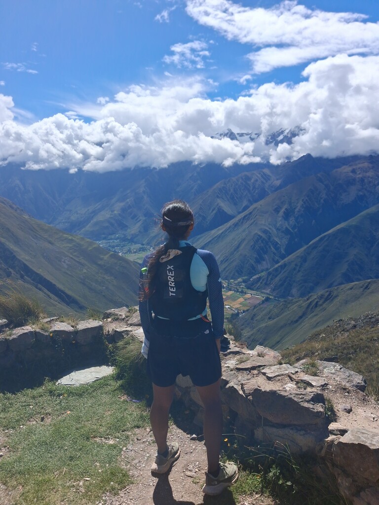
Views:
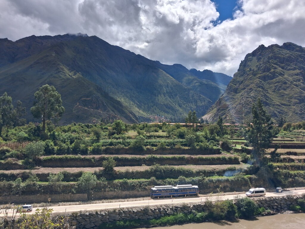
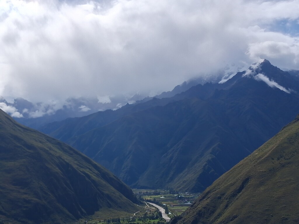
The summit offers panoramic views of the Sacred Valley. Nevado Verónica stands prominently in front, alongside multiple surrounding peaks. Ollantaytambo is fully visible below, along with an extensive network of mountain trails across the region.