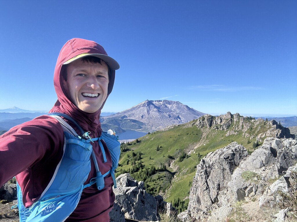

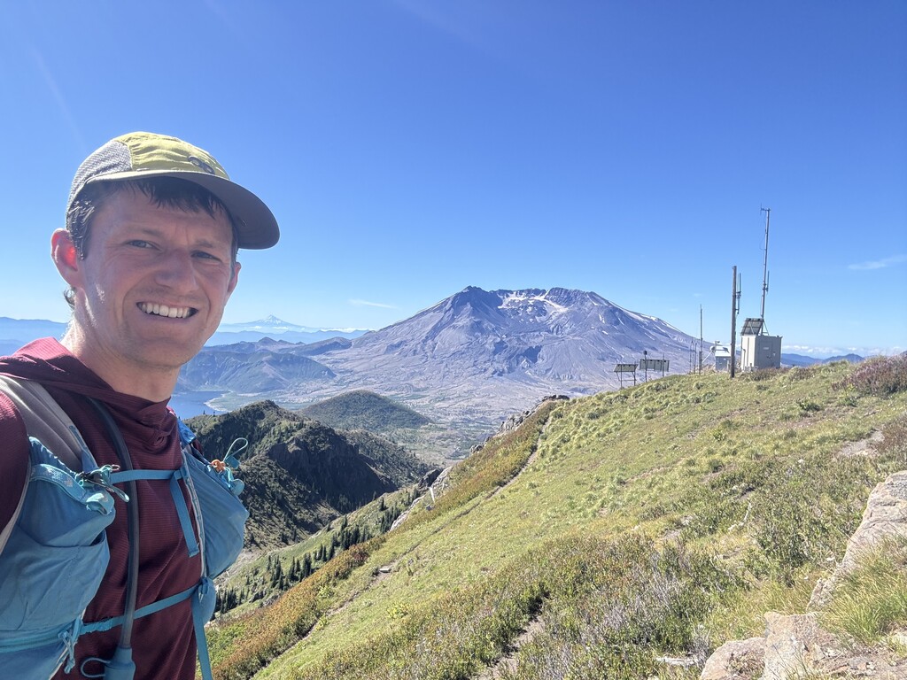
What a beautiful loop! I'd never been in the Saint Helens blast zone, and this was a great introduction! I did the route clockwise, as that direction seems better by almost all criteria (go up the steep stuff, do the hot low stuff in the morning, and go down the unvegetated trail). The one obvious disadvantage is that the only water is at the beginning, so I chose to carry 4 L of water (and filter 1 L), meaning I did almost all the uphill with a heavy pack (water plus the standard emergency gear).
I thought 4.5 hours was a reasonable target, and it certainly would have been if I were faster! The section from Coldwater Lake to the Whittier Ridge Trail was much brushier than expected. It doesn't look like it's been cleared in a few years. My hamstring also started to cramp going up Teragram, which was just a result of my poor state of training. I did achieve my goal of eating and drinking enough, although I could have gotten by with 1 L less water on this cool day (50 F at the TH). The coolness (and how-could-you-ask-for-any-lower dew point of 45 F) came with the foreseeable side effect of much dampness on the foliage, and therefore wet shoes all day. It was annoying, but very exfoliating! (I did intentionally run this a few days after rain had tamped down the trail, which did not do me any dryness favors.)
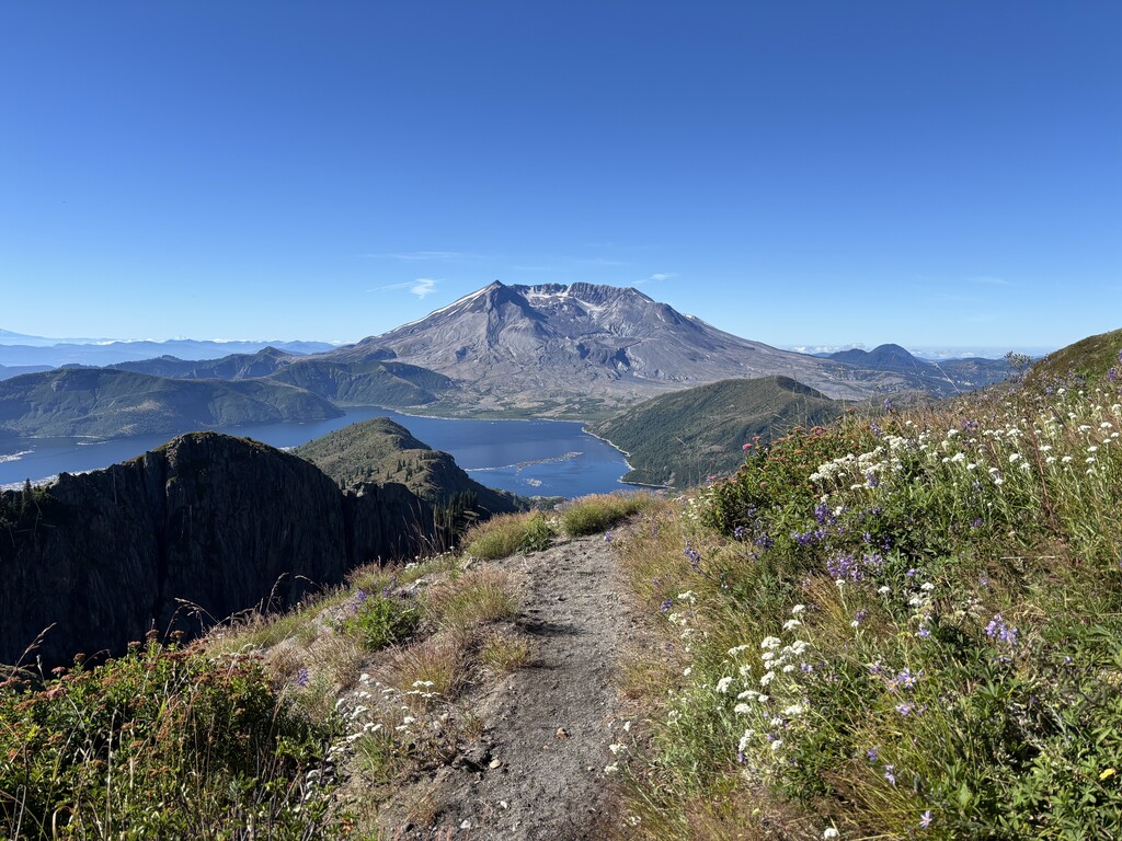
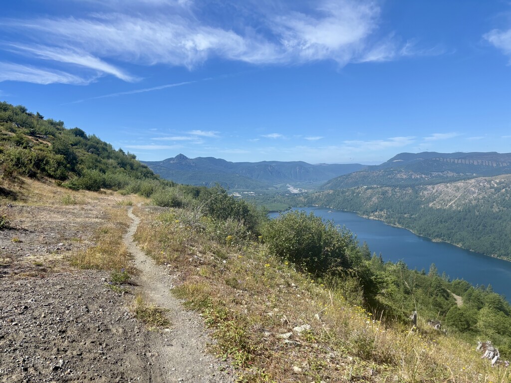
Setbacks aside, I found the Whitter Ridge Trail to be much chiller than expected. Looking on a map at the steepness of the slope the trail traverses, one could expect scary side-hilling. Several reports claim the class 4 difficulty that would normally warrant. But there's a trail! It's a real, blasted-in trail! Yes, there are some exposed class 3 moves in there and lots of time spent with significant exposure, so this should certainly not be your first scramble (with no easy alternates). But if you've done many scrambly peaks and are comfortable on anything people call class 3, you shouldn't be afraid of this route. Obviously be careful, don't lose the trail, don't do it with snow, don't do it when wet, etc.
Seeing how slow my average pace had gotten at the start of the Whitter Ridge Trail (14 min/mi), I was rather discouraged and regretted not pulling split times in advance. It turns out it's just a slow trail (considering Mr. Nanaszko, an actually fast person, wasn't much faster than me). If I had known I would pull back ahead of him by the end of the Ridge, I'd have had a much happier traverse! So here are "splits" (actually total-time-from-TH) for your convenience:
- Coldwater TH to start of Whitter Ridge Trail: 1:58 (Mr. Nanaszko scored 1:51)
- End of Whitter Ridge Trail: 2:43 (Mr. Nanaszko scored 2:48)
- Coldwater Peak: 3:56 (Mr. Nanaszko scored 3:43)
I should mention, if it's not clear, that this effort is not faster than Mr. Nanaszko's at 4:57, but his effort was flagged for missing Teragram. Now, that only took me 7 minutes out-and-back, so he is definitely faster, but Teragram caused me such psychological hardship (a steep crampy scramble just minutes after gaining the beautifully smooth Boundary Trail) that I feel I might have actually beat his time had I skipped it. I also made some silly navigational blunders costing a few more minutes, but that's just par for the course! In any event, the male FKTers deserve some recent unflagged love on this route. (The ladies are rocking it, my goodness!)
On the natural side of things, I saw no wildlife save for a couple herds of elk and several fresh goat tracks. However, the BERRIES! The biggest wild strawberries I've ever seen, and bountiful thimbleberry, blueberry, and red huckleberry. In keeping with the spirit of an unsupported FKT (and to avoid getting lost in a dozen-minute feeding frenzy), I did not partake. Tons of flowers out there, too!
See CalTopo link below for an annotated map of the route (including easy-to-miss turns!) and a comparison of previous folks' efforts.