Segment Start > Time > GPS (Approx.) > Landmark Title
00 > 8:54 AM > Route starts at top of dam’s east brick path > Kensico Dam (top)
01 > 8:58 AM > (Not recorded) > Crossing Rte 29
02 > 9:15 AM > 41.04521602543023, -73.77512051687235 > Under 287
03 > 9:22 AM > 41.03397855421883, -73.77603515184771 > Crossing Hamilton
04 > 9:38 AM > 41.01021252291729, -73.79476622424474 > Hartsdale RR
05 > 9:51 AM > 40.99086711454916, -73.80865888051193 > Scarsdale RR
06 > 10:10 AM > 40.95932250866255, -73.82177203550586 > Crestwood RR
07 > 10:27 AM > 40.94142369830466, -73.83815545905506 > SE Bronxville Lake
08 > 10:32 AM > 40.93567690225336, -73.83601872909057 > Over the Sprain
09 > 10:44 AM > 40.91430155149871, -73.85065734181271 > Yonkers Ave
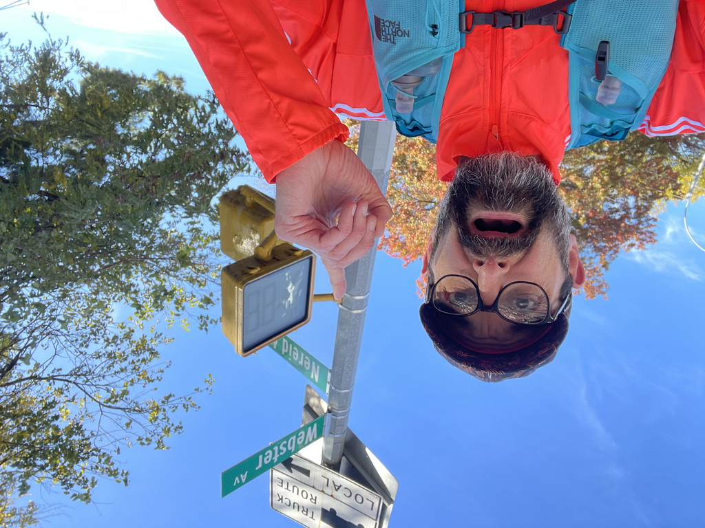
10 > 10:52 AM > Route Ends at Nereid & Webster Aves > Nereid Ave
Preamble:
..is “preamble” even the right word? Er… anyway… I found the course on Fastest Known Times and ported over to Strava. The route revealed a southbound one-way direction starting at Kensico. The description on the FKT suggested northbound, contradicting the GPS sketch.
Pack:
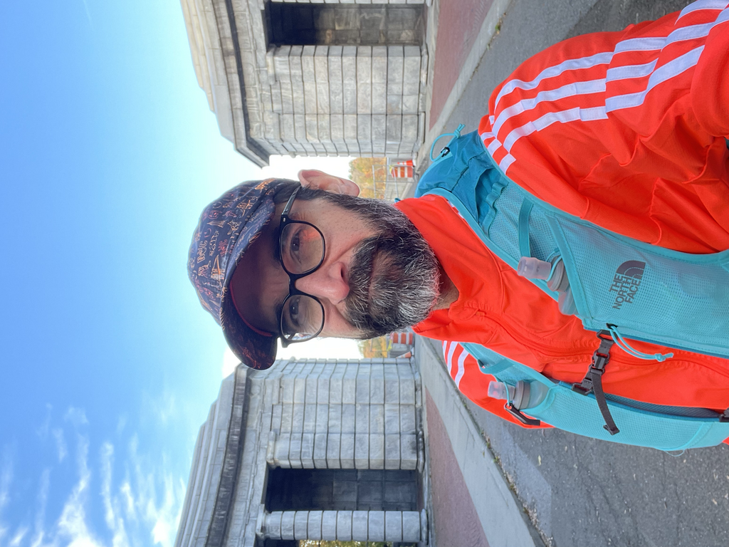
Foot to head > Brooks Glycerin 20 Stealth, Creepers crew socks, UA gym shorts, compression tee, long sleeve loose tee, Adidas outer shell, convertible gloves, North Face Sunriser 8 pack, Sprints hat.
In pack > Change of jacket, neck gaiter, 1 x GU (100cal, w/ caffeine), 1 x peanut butter and Vegemite on white bread (cut into half for two portions), 2 x flasks of 18 fl oz water, iPhone, wallet (for the post-run train home)
Run Note:
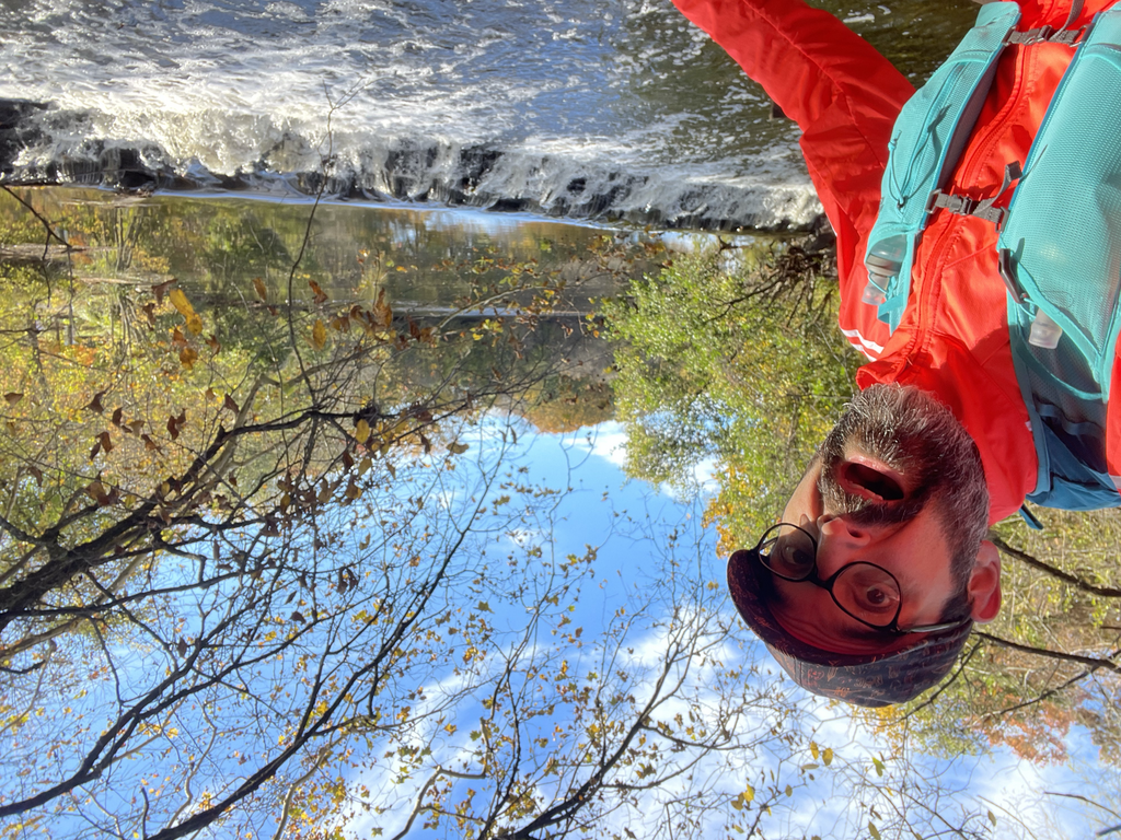
Getting to the top of Kensico Dam proved a little difficult, with the main stairways closed for construction of the road atop. I traversed the brick path up to the start point, eating half the sandwich along the way. Down the brick and southwards towards North White Plains was desolate, a few runners and dog walkers kicking about fallen branches. Mildly muddy patches from recent pounding rain. The sun saturated the yellows and reds of changing leaves. Path was narrow and undulating, might’ve been tight if the traffic was higher.
Past White Plains to Scarsdale, bridges required ducking under at times. A small stretch of gravel interrupted the otherwise paved path. By this point I abandoned my gloves and stashed them away. Markers on the side of the path indicated miles remaining southbound.
First bit of confusion after Scarsdale. Path diverged from what the GPS route suggested, proposed bridge crossing over water did not exist ahead, instead begging a small switchback over the water. Following this south to Bronxville was fairly strait forward. Part of the path went under a bridge so lowly that heavy rains could have flooded it, rendering it impassible. My timing was right.
Up until this point, my legs felt strong. I was pushing somewhere beyond my normal casual half-marathon pace (8:30/mi) but not quite my marathon pace (7:45/mi). Running with reason, I guess. I enjoyed my berry gel around midway.
Bronxville was tricky to pass. Part of it ran on the highway entrance, through a park. The map route indicated staying west/left at the southbound fork around the pond, then straight across the street on the east/right fork behind the hospital. The tricky moment came finding the last 200m of the path after the intersection. I followed the road per FKT map.
From here it was a straight shot up towards the cracked flagstone paths on Midland Avenue. Crossing under the parkway, it became Bronx River Road. Staying straight was easy, making good time on mildly undulating roads bereft of Saturday morning business. Up until this point I was incredibly fortunate with having the advantage at roadway crossings. Yonkers Ave was my first “must stop and wait” point, if memory serves. Heading south towards Nereid Ave (the Bronx border to Yonkers) featured final pushes uphill.
Glad to be done, it was an effort for which I am happy. I hadn’t thought I’d run it a few days ago, yet weather and inspiration of friends completing the next day’s NYC Marathon inspired me. I recorded video along the way for editing a video for later publishing. Let’s go…