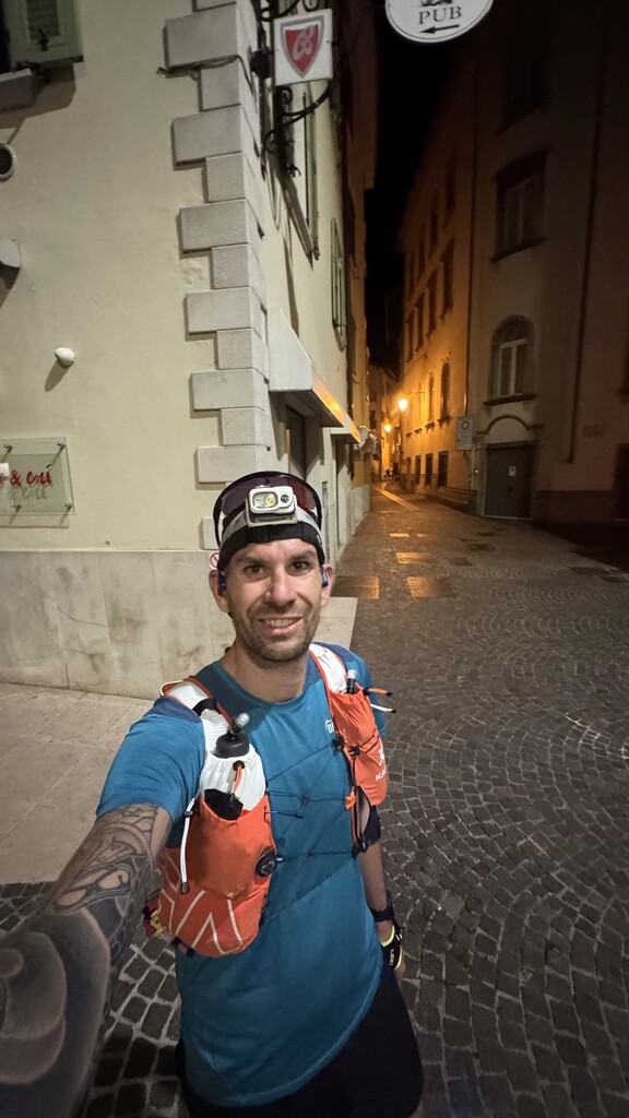
Started in Unsupported mode at 3:20 a.m. to avoid the intense July heat. Backpack loaded with 4 liters of water and various snacks. There’s no water available until kilometer 42 (the town of Caprino Veronese), so I carried a water filter in case I came across any unexpected springs or streams along the way — though I didn’t find any, apart from a fountain at km 4 in a mountain hut marked “NON-DRINKABLE WATER” in several languages.
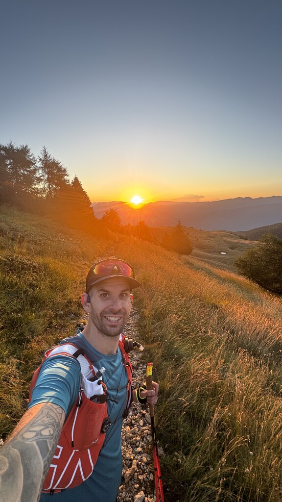
The route is tough, with the first 13 kilometers climbing 2,000 meters of elevation — and with a heavy backpack (around 5–6 kg between water, gear, and food).
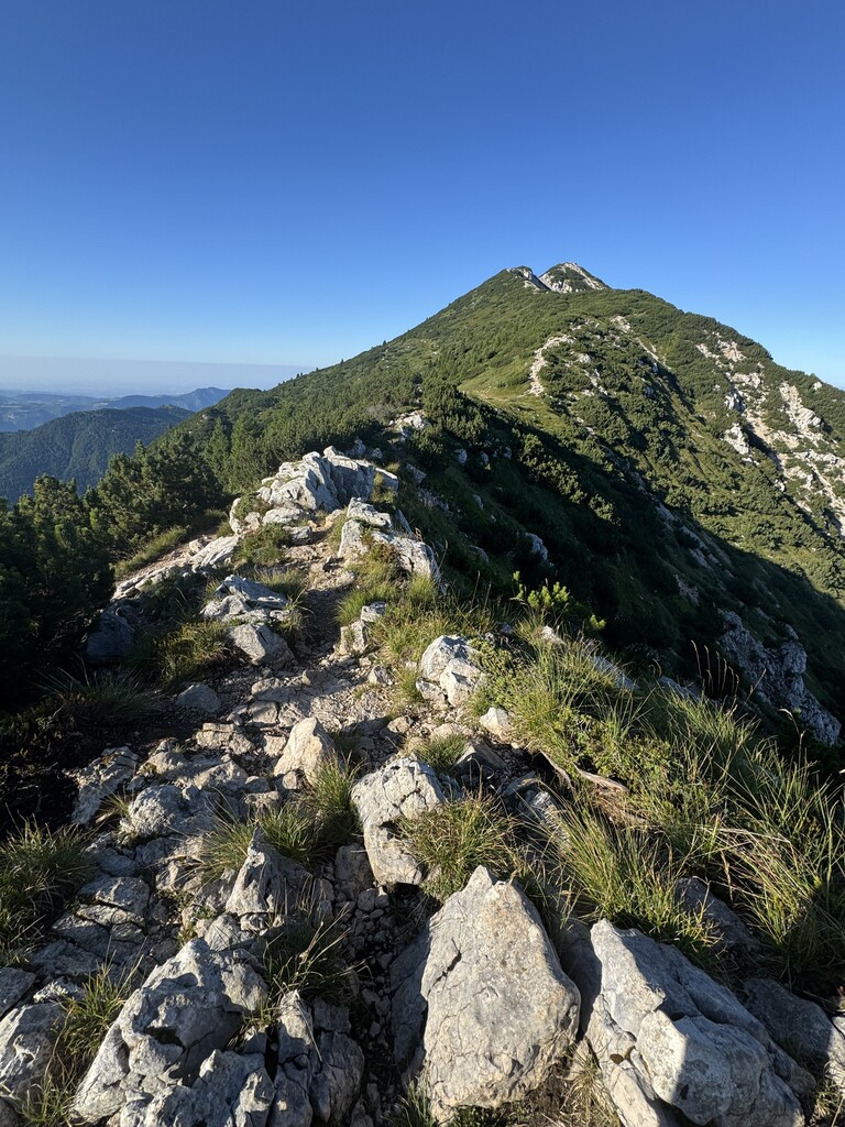
The trail is well-marked and logical up to Rifugio Chierego. From there, the descent toward the town begins, but the GPS track provided on the website becomes unreliable — many of the paths no longer exist or are poorly maintained. At one point, the track leads left over a barbed wire fence into a cow field (there’s an alternative trail just before this). That section of the descent should definitely be updated to reflect the trails currently in use.
The final 10 kilometers are particularly tough — on asphalt, often without sidewalks, under the scorching sun. Not recommended in summer. I had to adapt, but by the time I reached the town, it was 35°C.
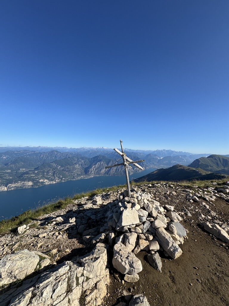
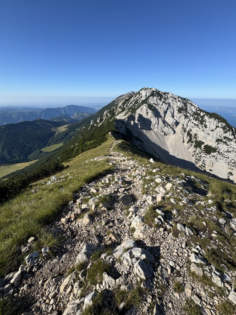
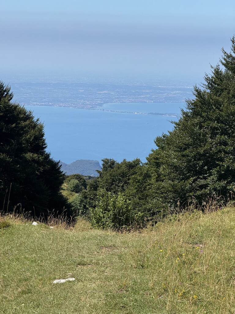
Still, it’s a stunning route — the Baldo ridges are wild and untouched, with incredible views over the lake.