


Earlier this year, I discovered and started hiking the list of 122 trails on the Pisgah 400 challenge. After only a few outings, I started brainstorming on how one could do this challenge as a continuous hike, rather than a multi month/year challenge. After a few drafts, I discovered what I thought to be the most efficient route from trailhead to trailhead to minimize drive time, and to give the trail systems order. The next challenge was figuring out the most efficient route to hike all trails in full with the least amount of backtracking. Carolina Mountain Club confirmed that they were unaware of any of the previous 46 finishers attempting the challenge for time, so I decided to make my attempt in September.
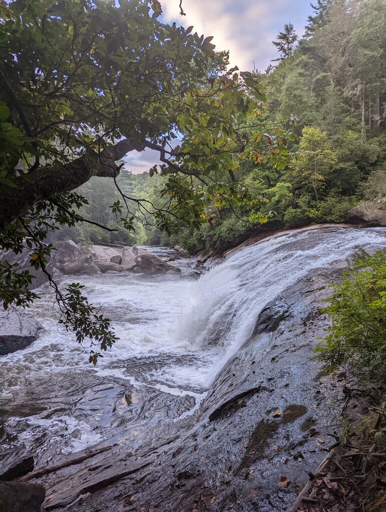
I did this in a self supported fashion, using my vehicle as basecamp where I stored all my food, and to transport myself between trailheads. The total trail mileage from a particular trailhead directed if I would backpack overnight or return to the vehicle before sleeping. Water was plentiful, and the longest stretch I went without was 8 miles in the western Turkey Pen Gap area. I had no hiking companions for any distance, only passing other hikers along the way. I started at 7:00am on September 12th and finished at 3:19pm on September 30th. My total mileage calculated to 502.4 miles with 96,395 feet of vertical gain. I have more photos from the trip posted to my Instagram @hikinglavas.
The route started, with what I call, the three outlier trails in the south before starting the first trail system. I split up and hiked the trails in the following order; Middle Prong Wilderness, Shining Rock Wilderness, HWY 276, Turkey Pen Gap, North Mills River Area, Bent Creek, and then closed the hike with a long stretch down the NCMST, collecting one more trail along the way, and finishing at the French Broad River.