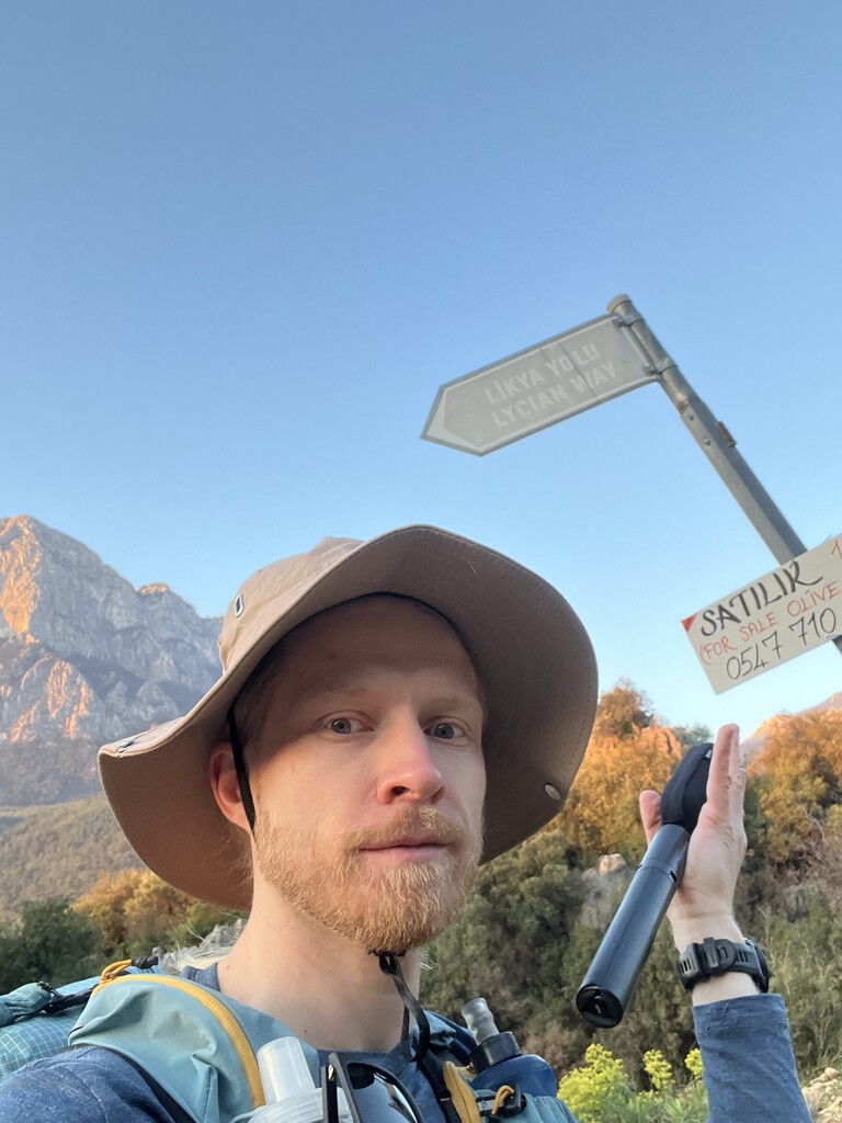

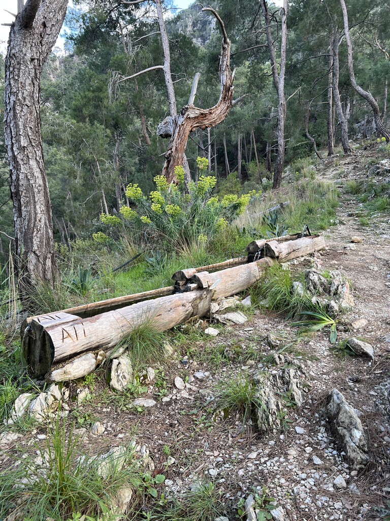


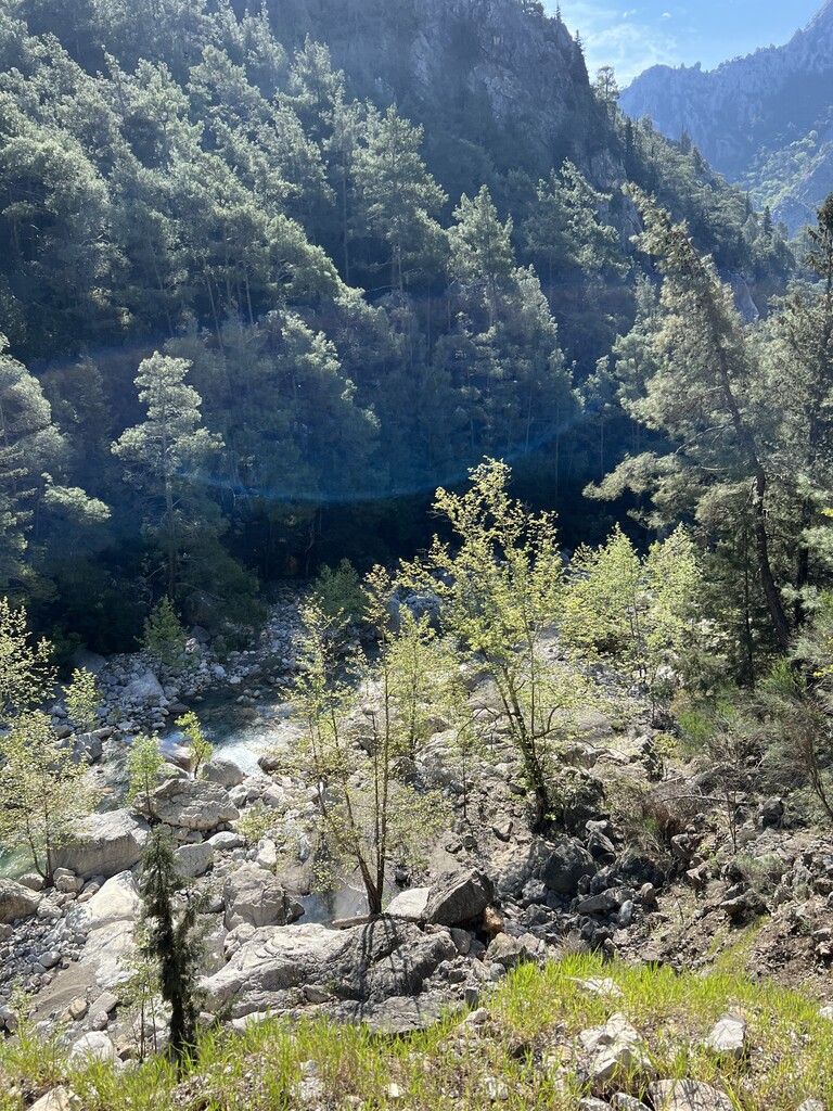
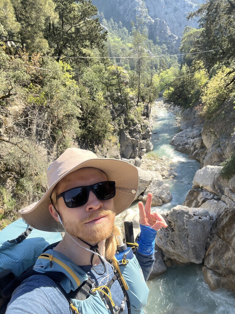

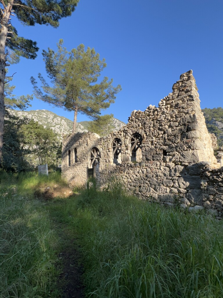

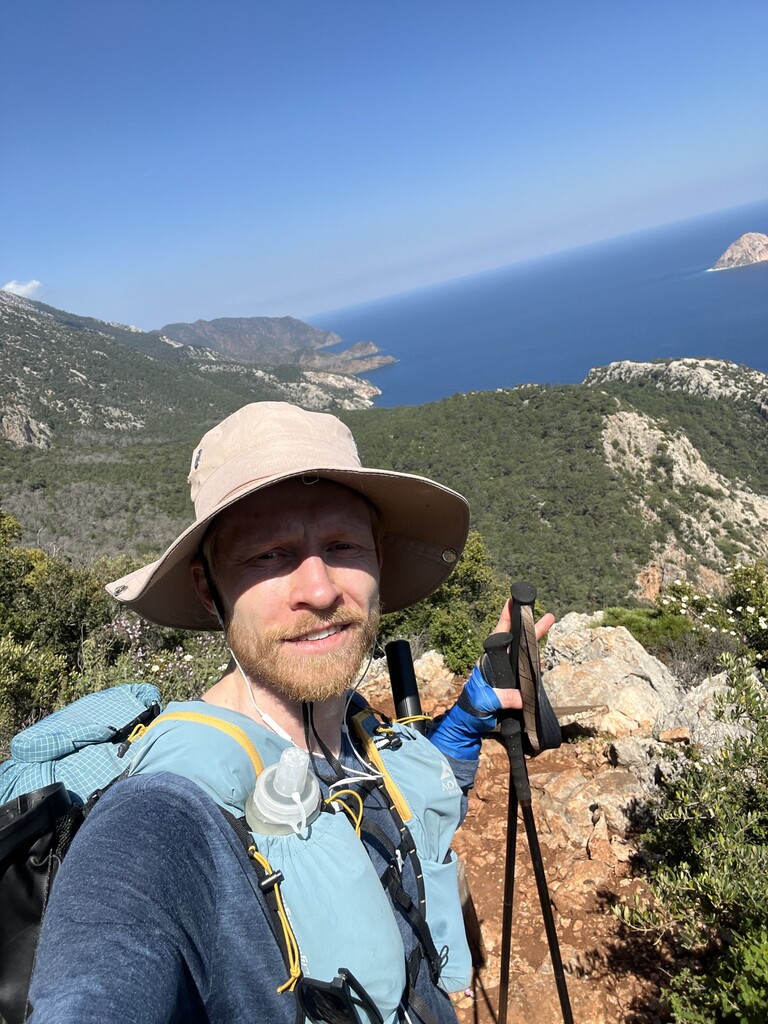
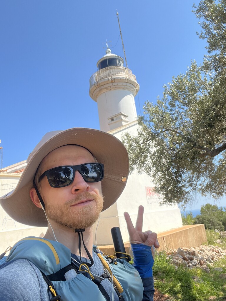
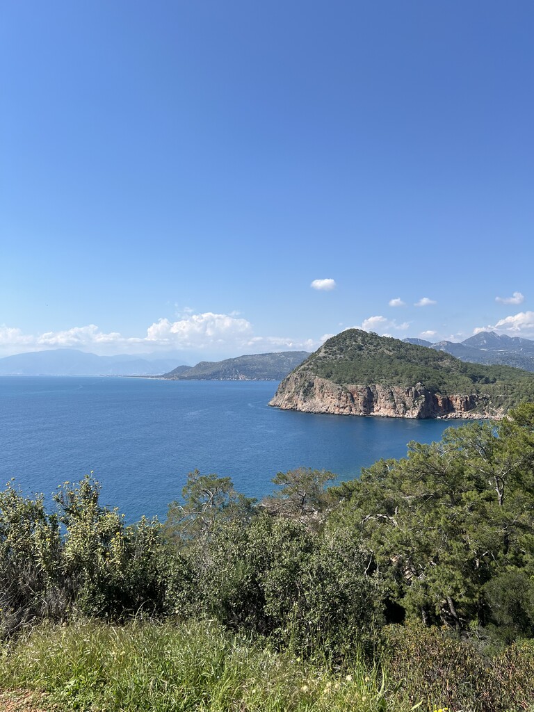
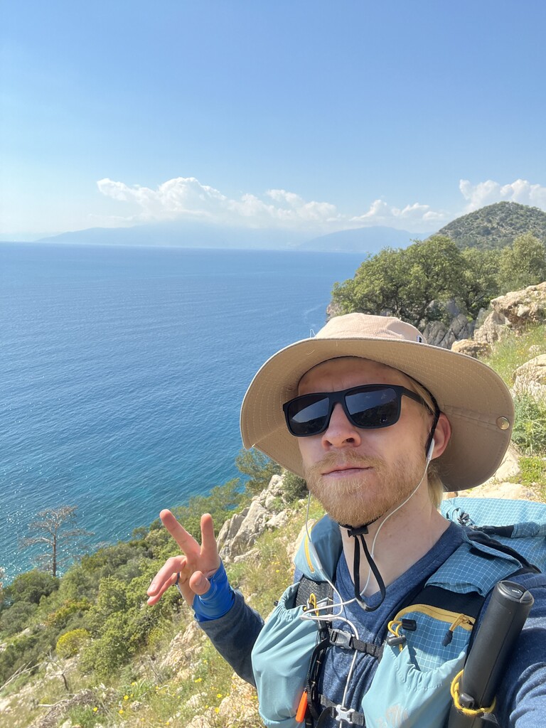

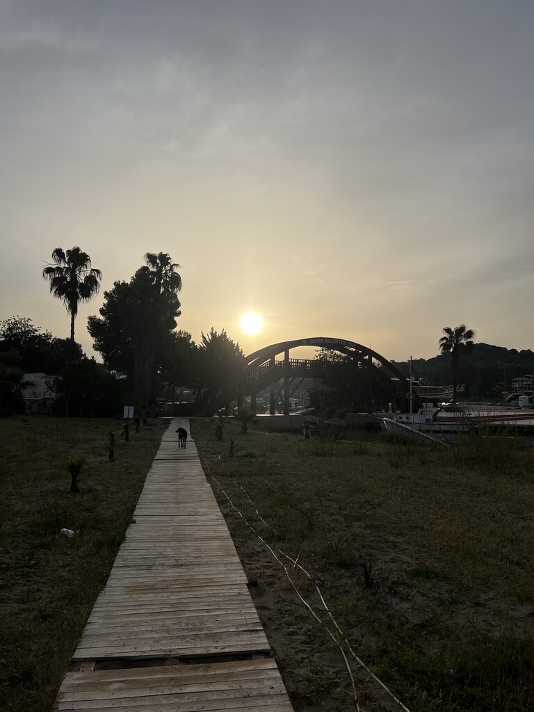
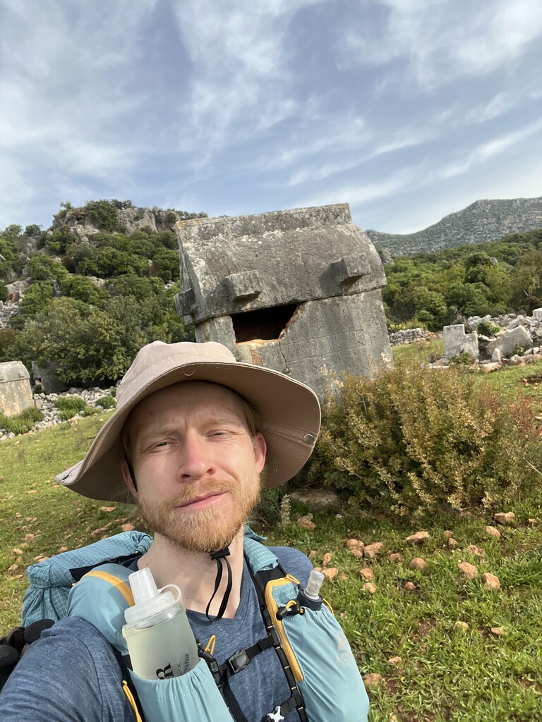
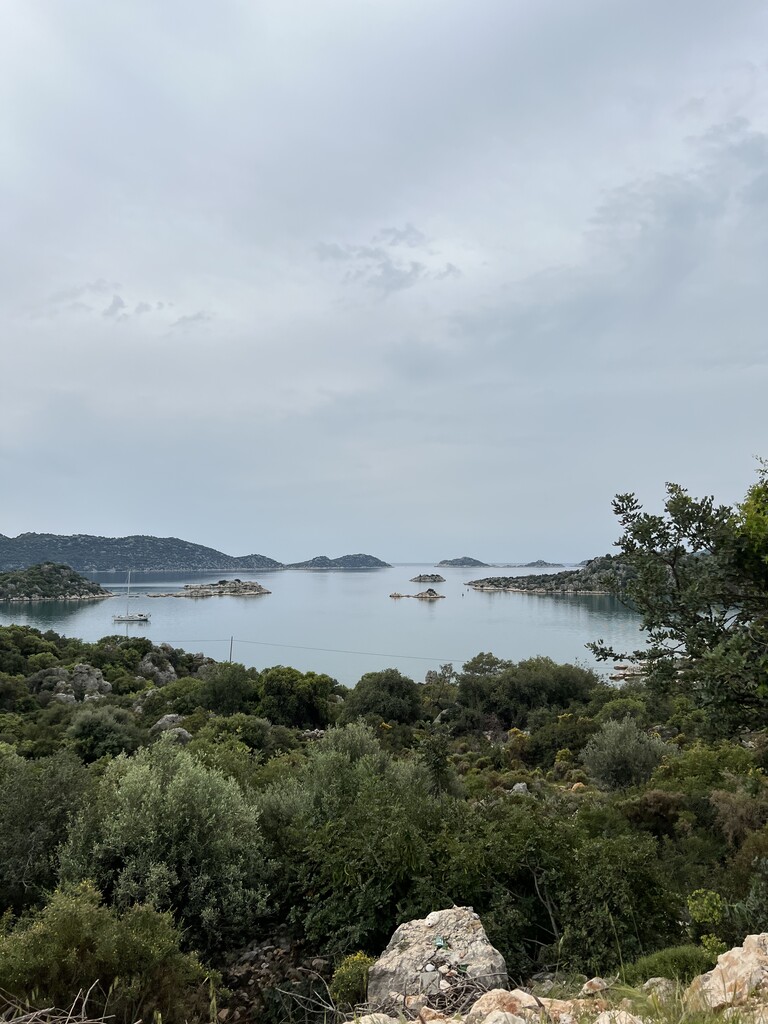
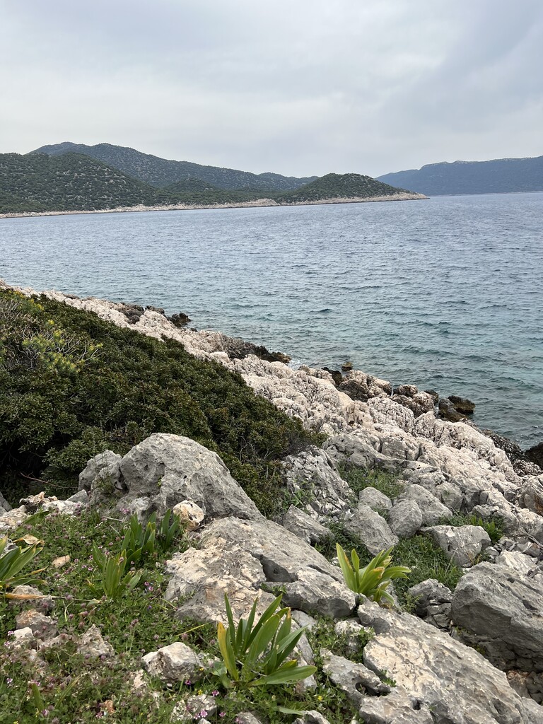
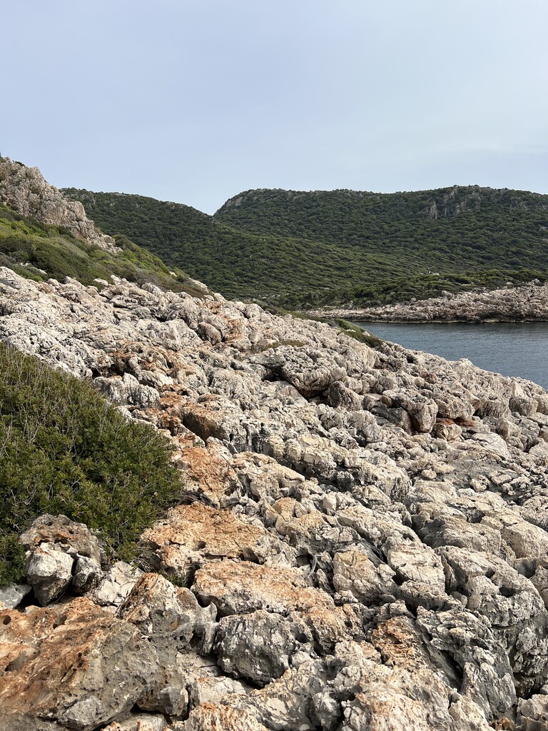
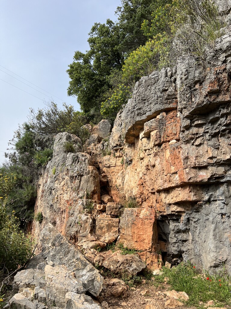
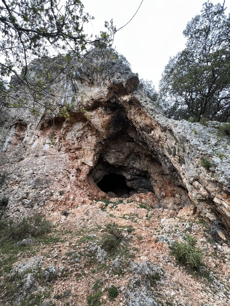

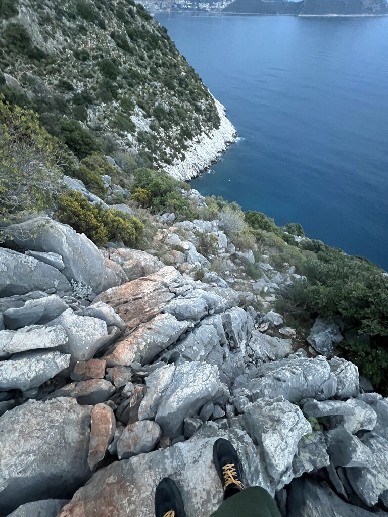
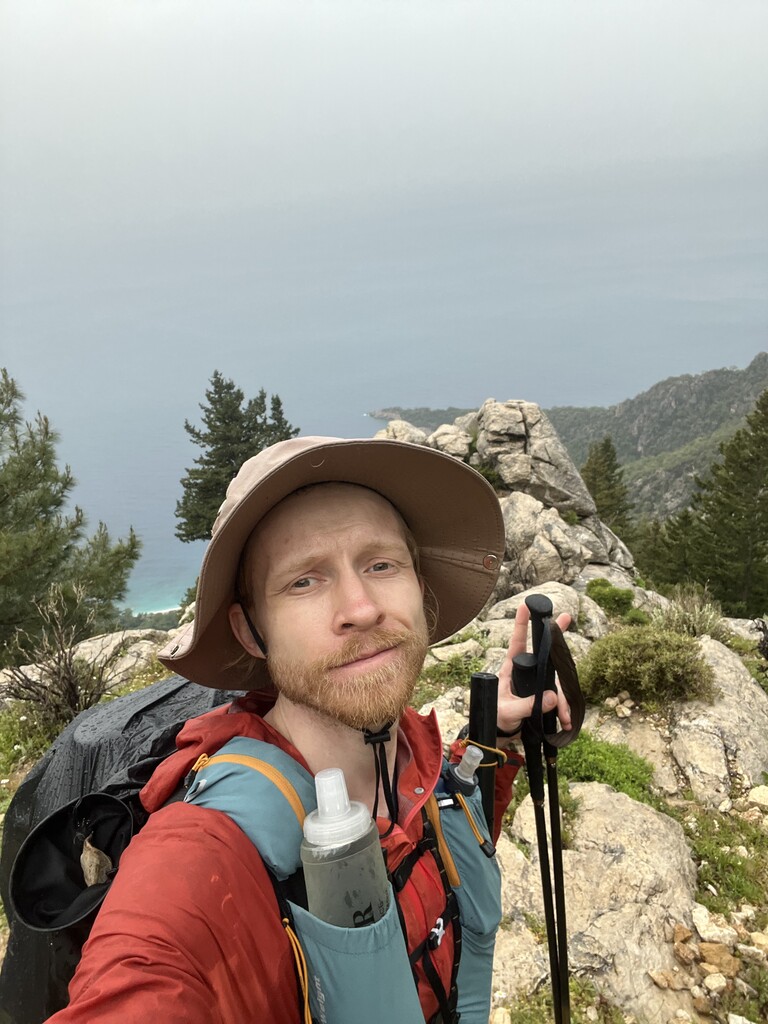
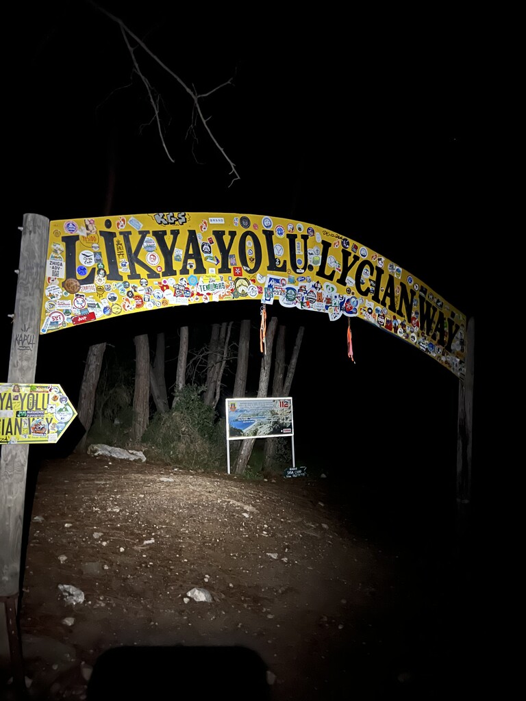
I completed the Lycian Way from east to west in 7 days, 13 hours, and 33 minutes. Starting on April 10, 2026, at 06:44 from Geyikbayırı, Lycian way sign, I officially finished the trail on April 17, 2026, at 20:17 in Ovacık, Ölüdeniz at another Lycian way sign.
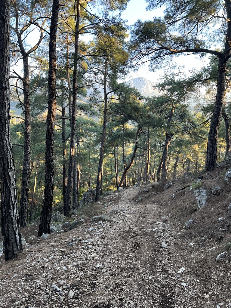
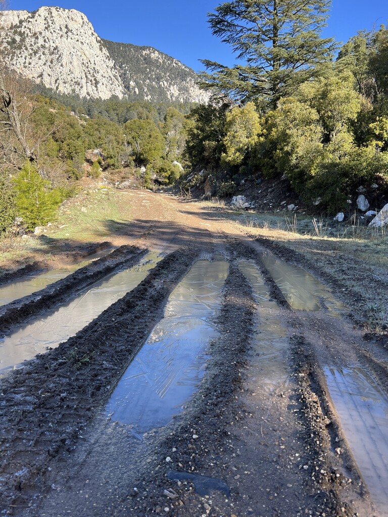
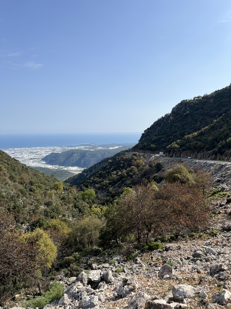
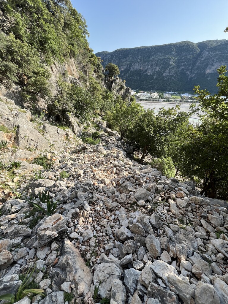
This was a completely self-supported run - I didn’t receive any external help from anyone. I managed all planning, scheduling, and overnight accommodations entirely by myself. According to my GPS tracking, the route totaled approximately 471.5 km ( that 20km overhead probably accounts for frequent track loss and overall gps errors) with 19,614 m of elevation gain.
Gear & Nutrition
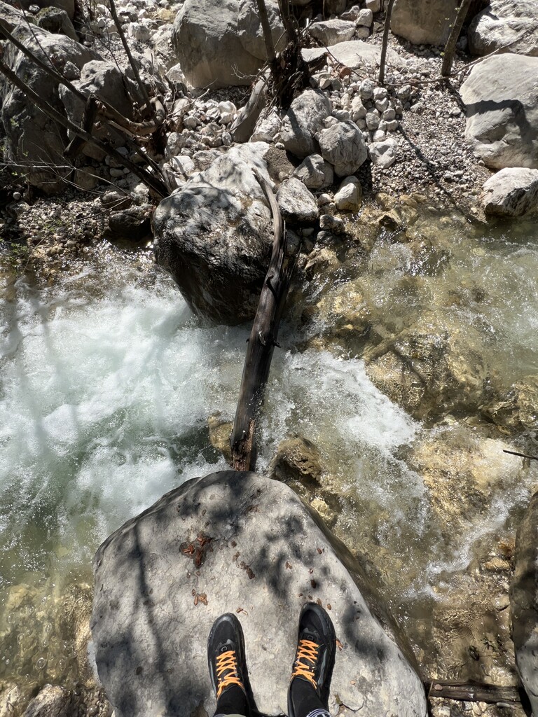
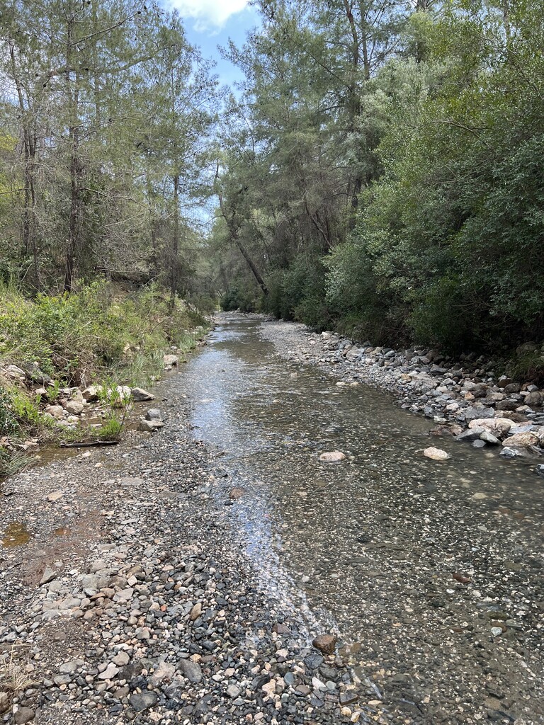
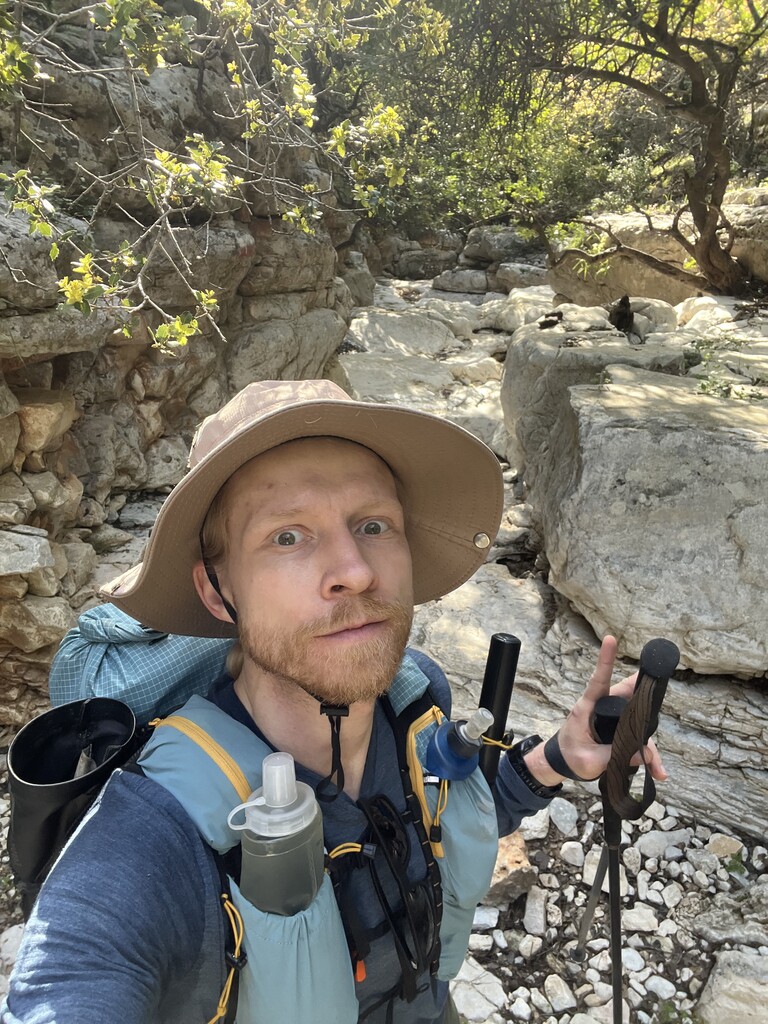
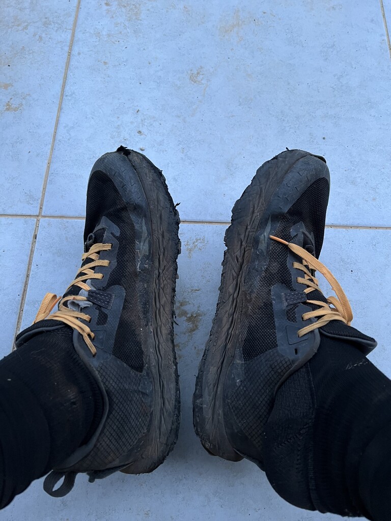
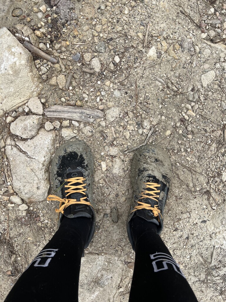
I carried a backpack with a base weight of 4.5–5 kg (excluding food and water). My hydration setup consisted of two soft flasks (0.5L and 0.7L). On certain exposed stretches - like the section from Finike to Demre - and on particularly hot days, I carried extra water. I resupplied my food multiple times a day as I passed through towns and villages. I carried a gas stove but never used it ( with no gas cylinder, I wished I have ditched the kitchen entirely).
I carried my own sleeping system, which included a MYOG tent (270g), an ultralight sleeping quilt, and a short sleeping pad. (Here is the full LighterPack link to my equipment: https://lighterpack.com/r/5d9bm0 )
During the last two days, I developed an overuse injury in my tibialis anterior. It started in one leg and eventually spread to the other, which forced me to walk the entirety of the final day to reach the finish line.
Daily Segments & GPS Stats
• Day 1 (April 10): Geyikbayırı to Doğa Camp ( hotel)
• Distance: 59.65 km
• Total Ascent: 3,992 m
• Total Time: 14:25:55
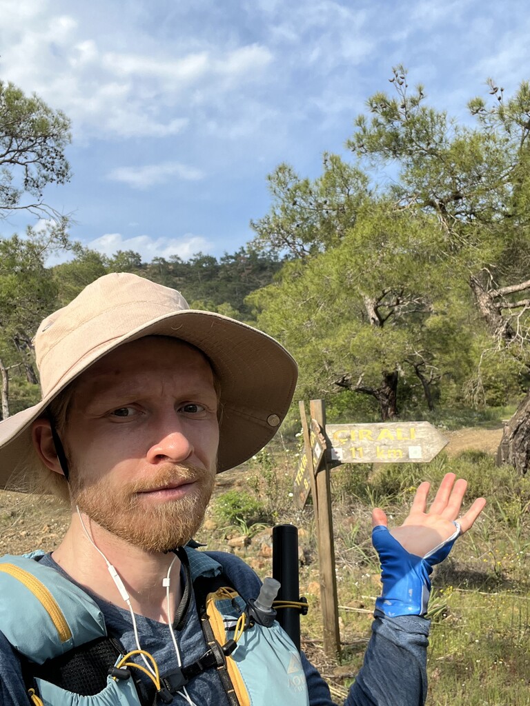
• Day 2 (April 11): Doğa Camp to Çıralı Beach( camping)
• Distance: 61.71 km
• Total Ascent: 1,945 m
• Total Time: 11:25:04
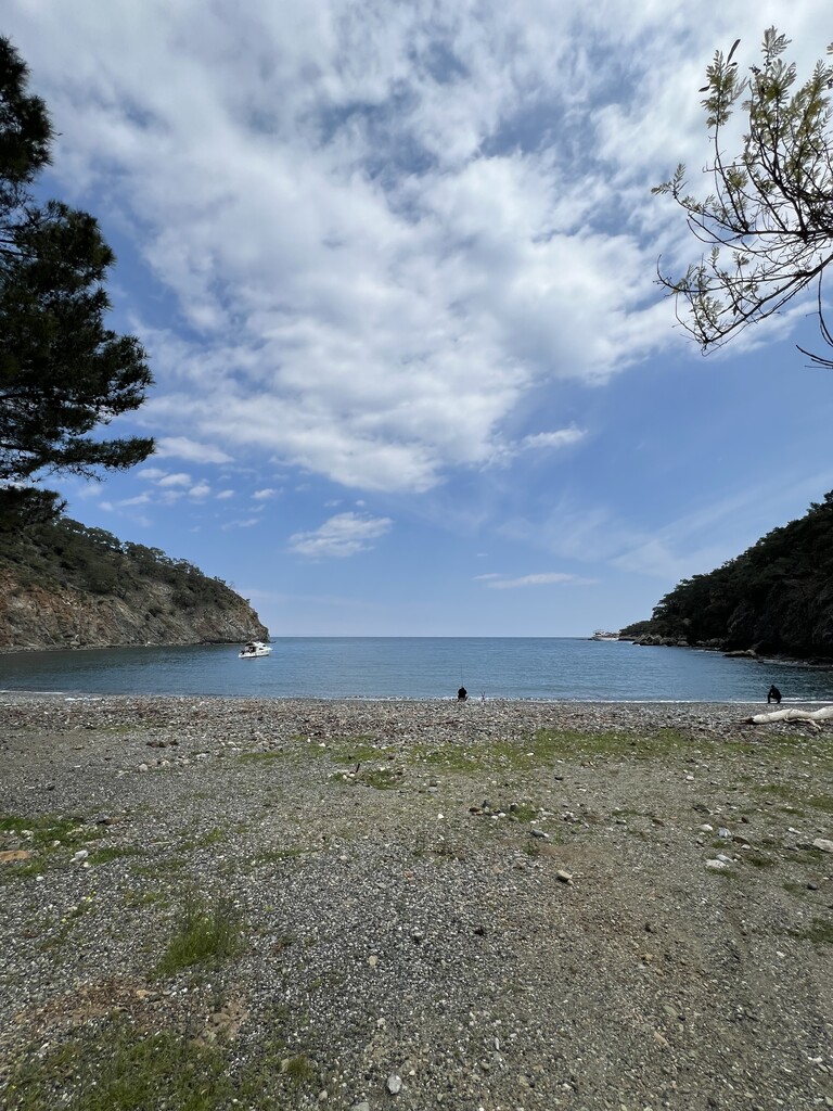
• Day 3 (April 12): Çıralı Beach to Finike( Hotel)
• Distance: 67.09 km
• Total Ascent: 2,223 m
• Total Time: 12:37:22
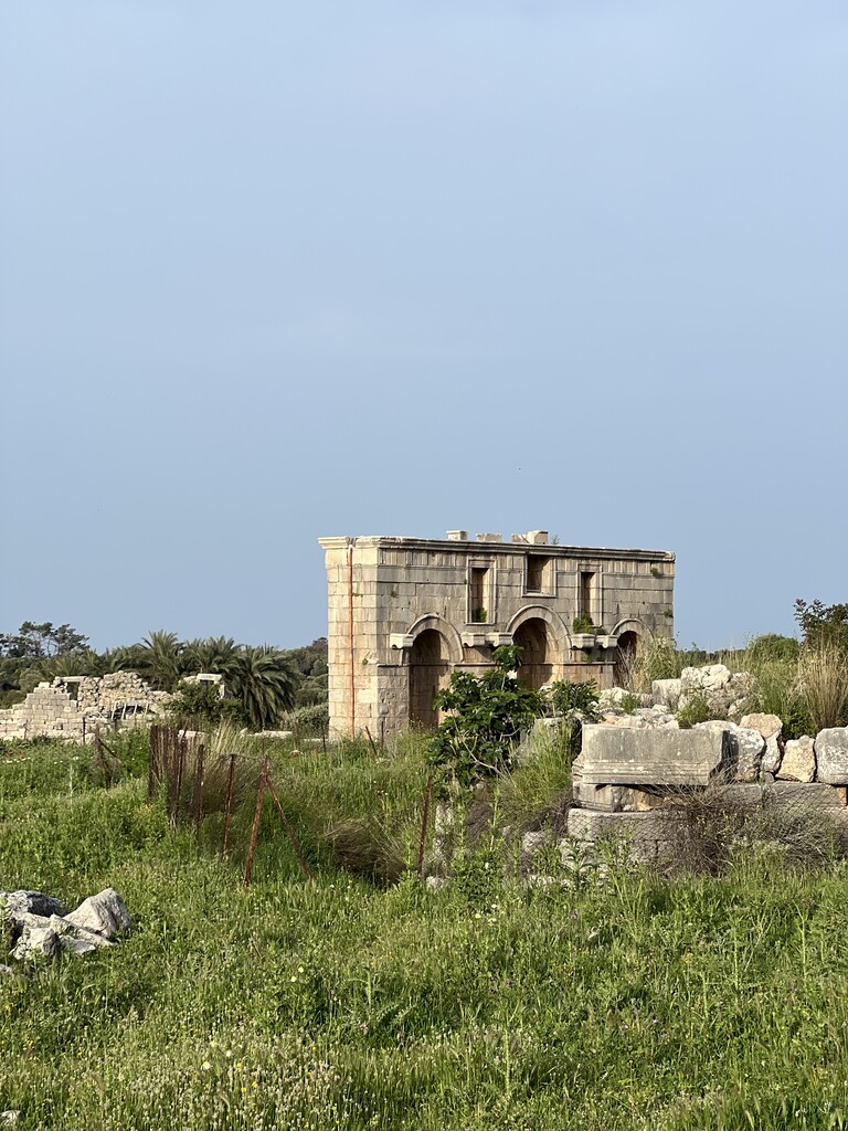
• Day 4 (April 13): Finike to Demre (Camping)
• Distance: 52.71 km
• Total Ascent: 2,437 m
• Total Time: 12:04:52
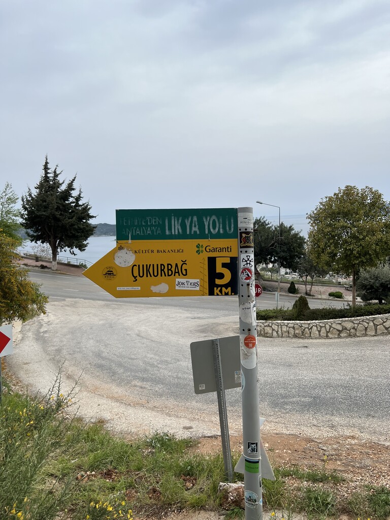
• Day 5 (April 14): Demre to Çukurbağ( Hotel)
• Distance: 58.72 km
• Total Ascent: 2,232 m
• Total Time: 11:59:44
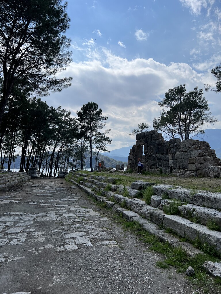
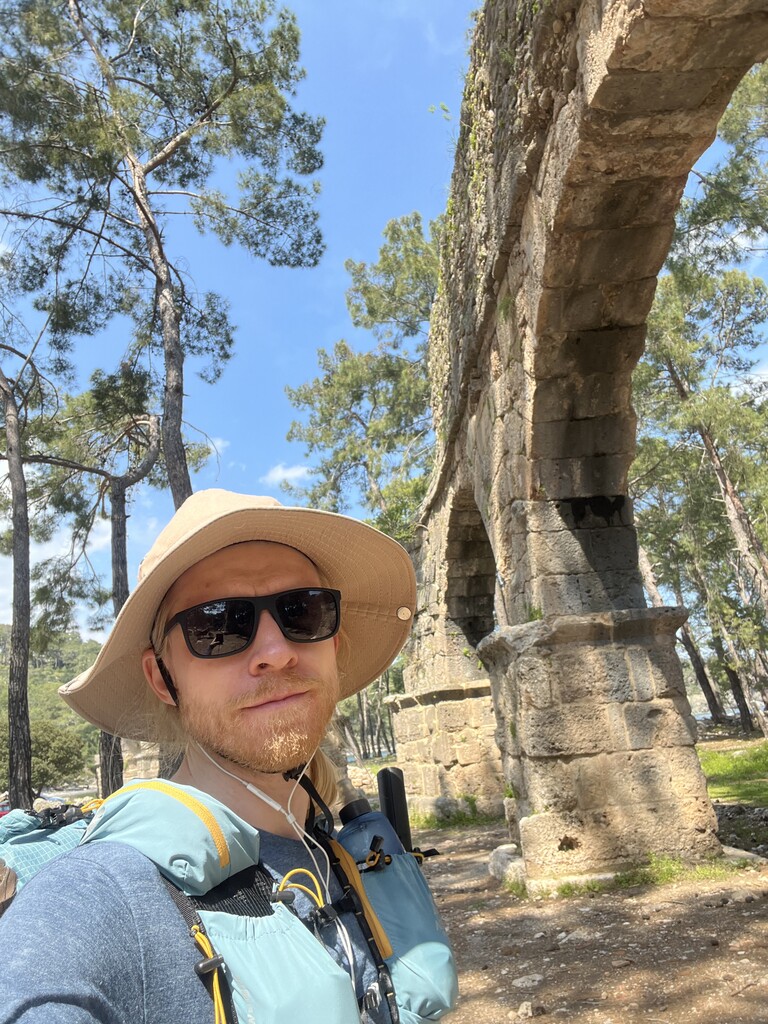
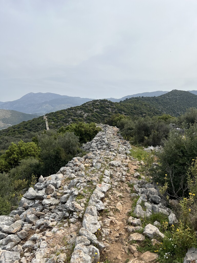
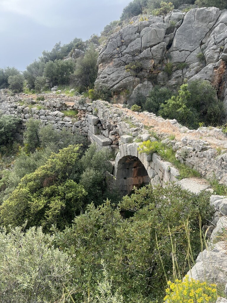
• Day 6 (April 15): Çukurbağ to Delikkemer Aqueduct (Wild Camping)
• Distance: 57.23 km
• Total Ascent: 2,295 m
• Total Time: 12:31:51
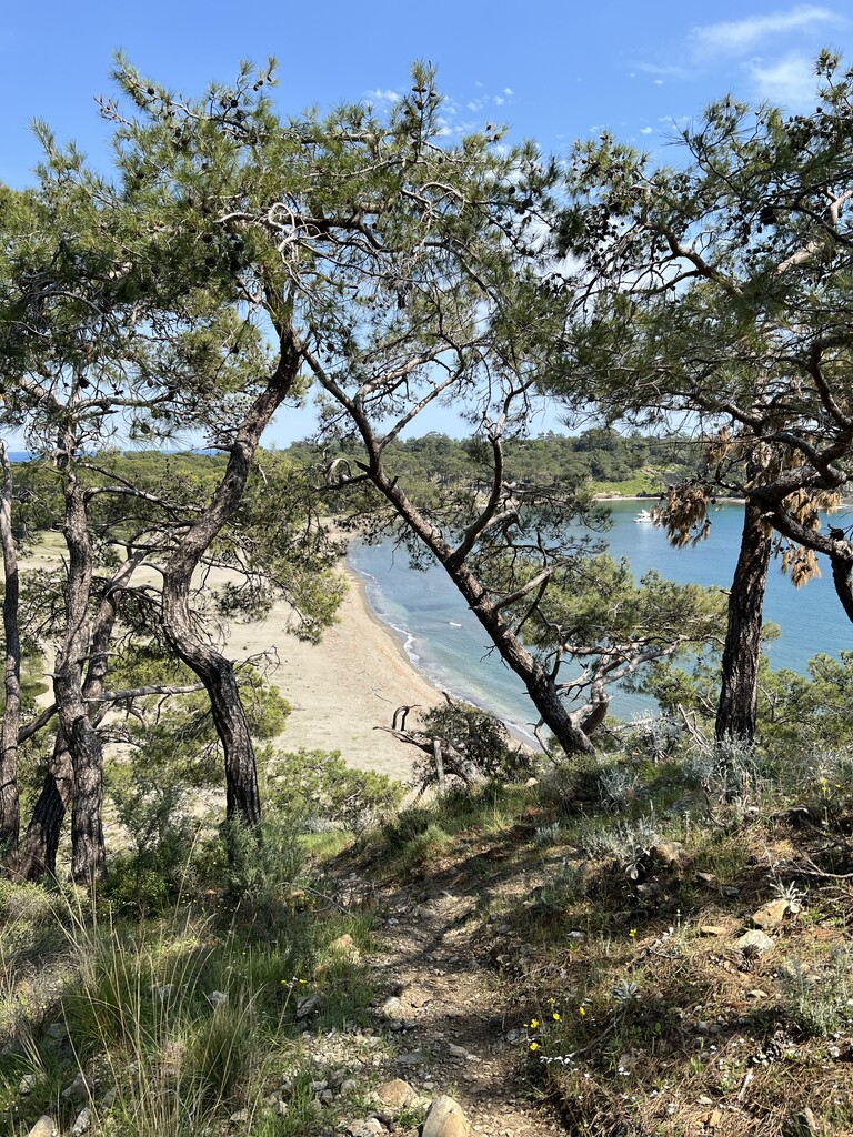
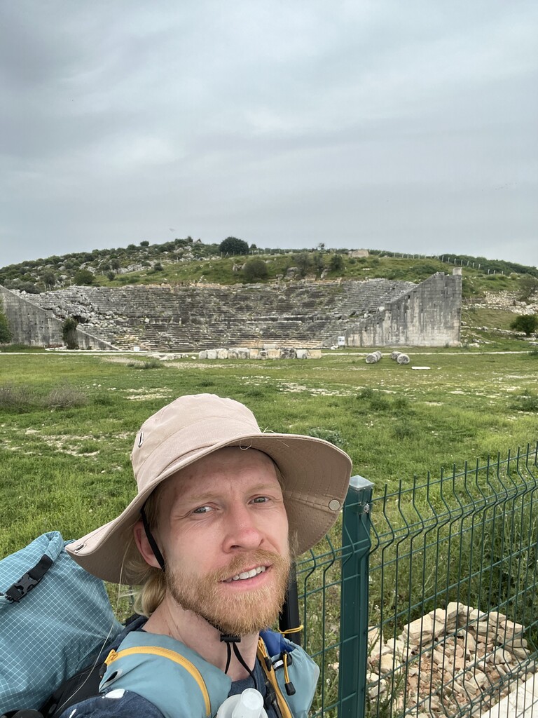
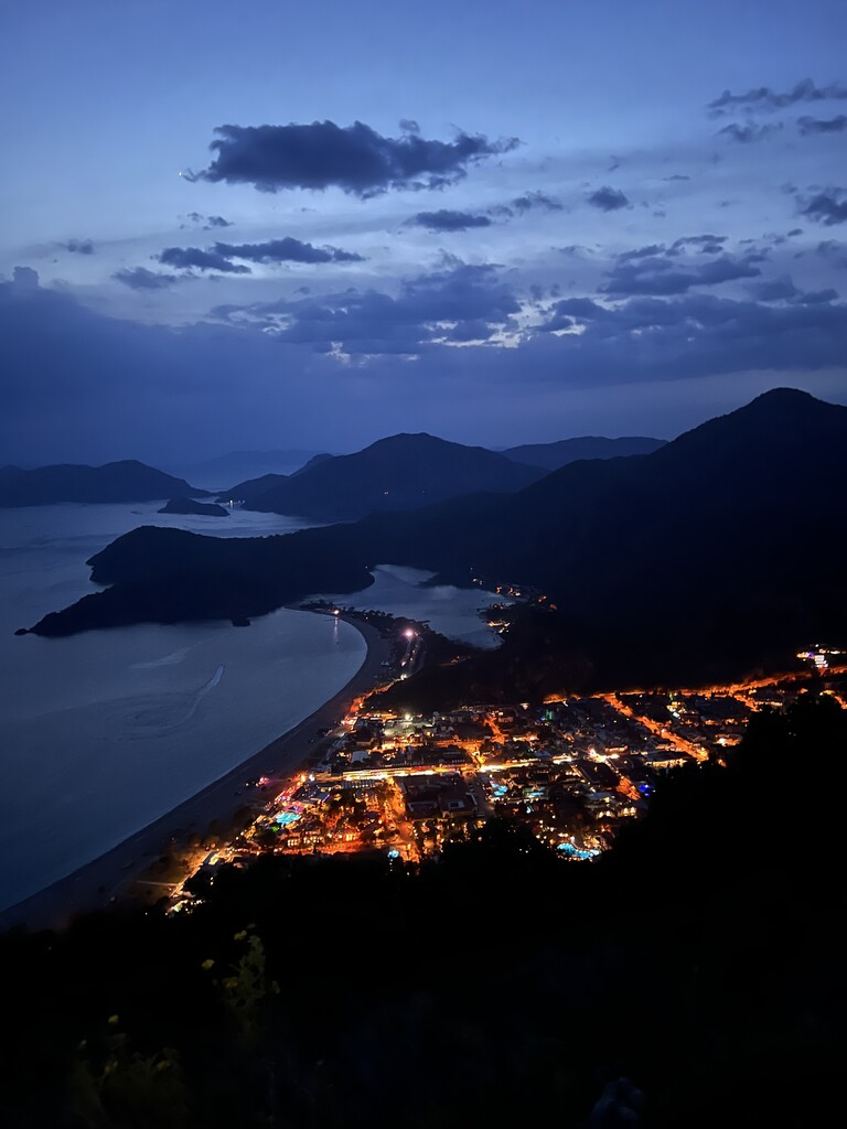
• Day 7 (April 16): Delikkemer to Patara Beach (Likya Garden Life Camping)
• Distance: 62.76 km
• Total Ascent: 1,739 m
• Total Time: 11:55:26
• Day 8 (April 17): Likya Garden Life Camping to Ölüdeniz Lycian Way Sign
• Distance: 51.65 km
• Total Ascent: 2,751 m
• Total Time: 13:21:16