Instead of genuine PPT stages and CPs I opted to use my own plan. I divided the whole route into 8 stages approximately 22 km each.
Original estimation was to make each stage in sub 6h resulting in sub 48h on the whole route.
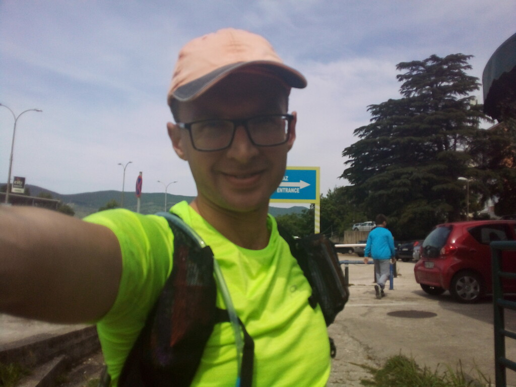
Stage 1 Herceg Novi - Zubački Kabao
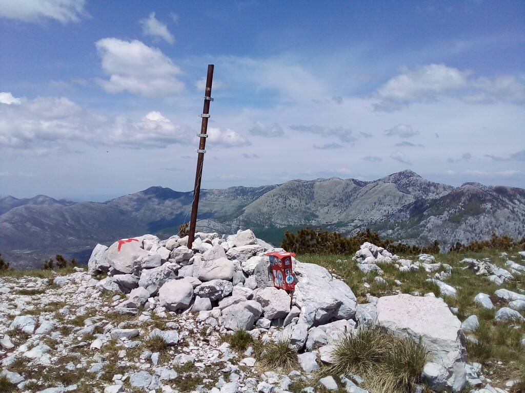
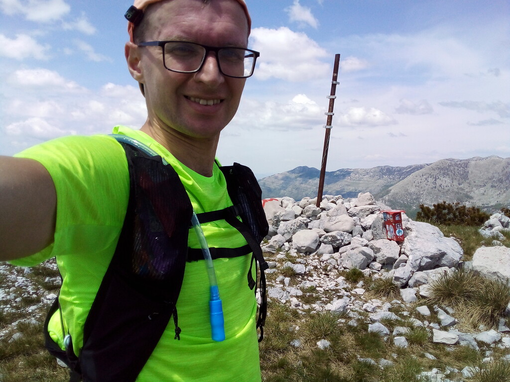
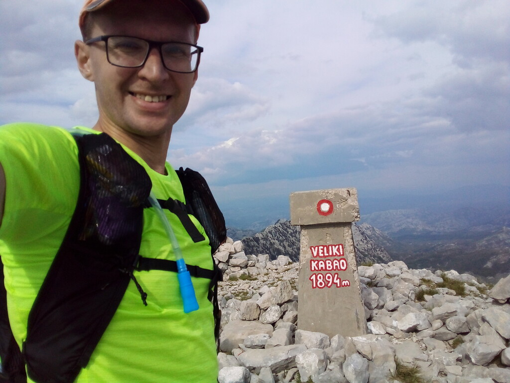
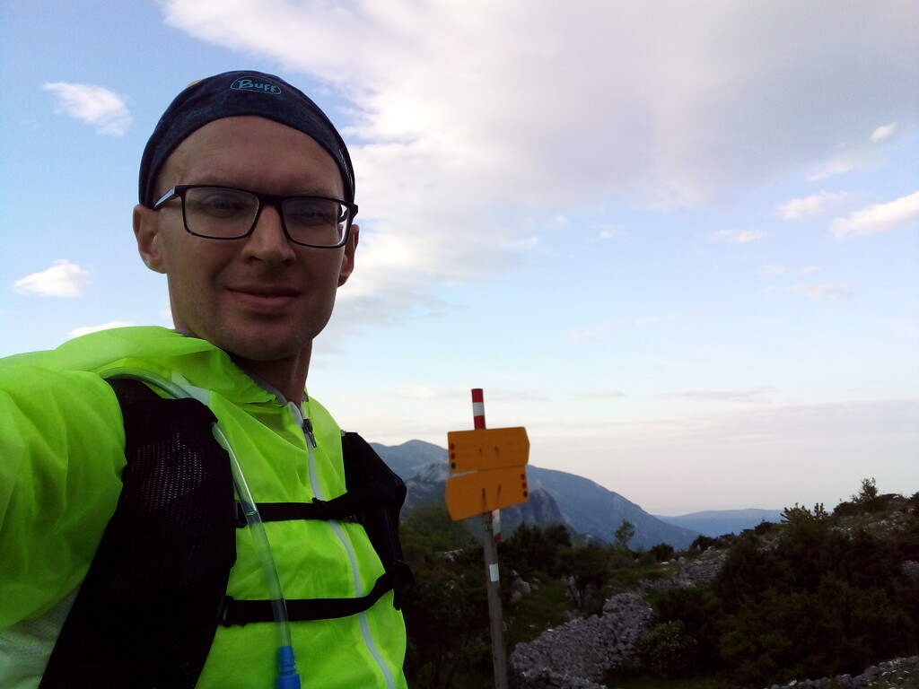
Start at 10:00, May 20 from Herceg Novi bus station. The most technical part of the route with highest altitude gain. Path across mt Subra requires some climbing. Zubački Kabao (1894m) is the highest peak of the route but it feels much easier. Time: 6h 50m, distance: 23km
Stage 2 Zubački Kabao - Velji Vrh
Rather easy stage. Mostly a good runnable descend by gravel road. The final ascend on Velji Vrh was a bit longer then I expected. Started to use headtorch at the top of Velji Vrh. Time: 4h, distance: 20km (Total: 10h 50m, 43km)
Stage 3 Velji Vrh - crossroad to Donji Orahovac
First night stage. Good runnable gravel section in the middle. Section after Sv. Nicola church is rather slow - a lot of undergrowth and high grass on the path. Time: 6h 30m, distance: 22km (Total: 17h 20m, 65km)
Stage 4 crossroad to Donji Orahovac - Jezerski Vrh
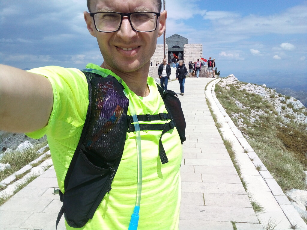
Took a first 10 min nap near the start of the stage. Continued to struggle with undergrowth for next 8km of the trail. The road after Velji Zalazi is runnable but it is mostly ascend (you have to gain about 800m to Jezerski Vrh). Due to Montenegro Independence Day the mausoleum on top of Jezerski Vrh was opened for free. Time: 7h 50m, distance: 21km (Total: 25h 10m, 86km)
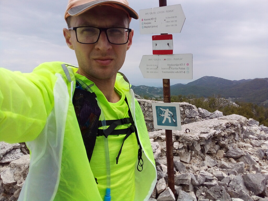
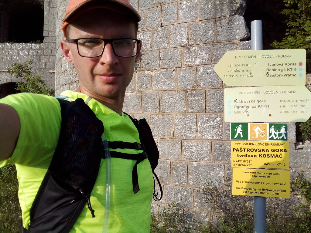
Stage 5 Jezerski Vrh - Kosmač
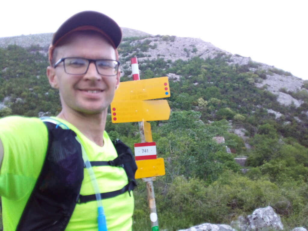
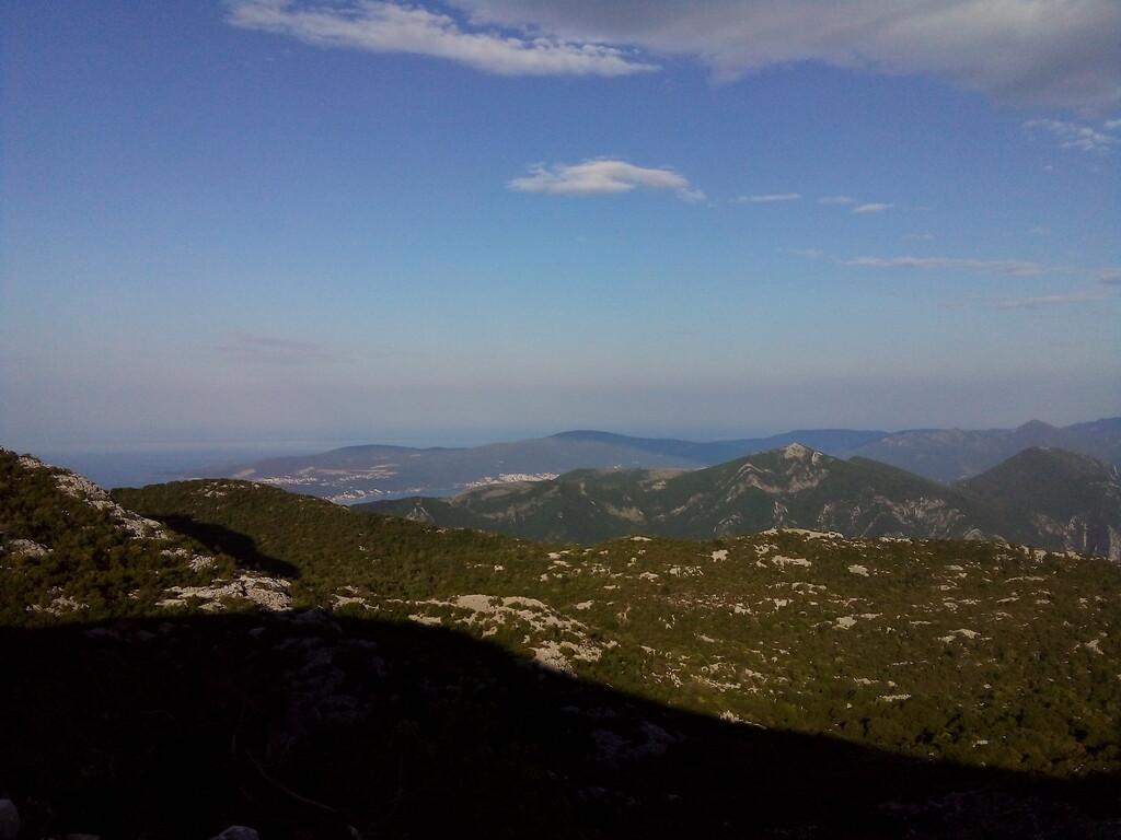
The northern part of Lovchen NP have good and mostly runnable trails, but in southern part the trails are mostly non-existent. The route marking is not so good as well. Time: 8h, distance: 23km (Total: 33h 10m, 109km)
Stage 6 Kosmač - Tri Roge
The gravel road to Ogradenica is nice and runnable, I was able to do this section rather fast. Put headtorch on after Ogradenica. The trail after Ogradenica is rather good, but I was much suffering from lack of sleep by this point. Took several short naps but it didn't help much. The ridge from mt Kapa to mt Gomila is a technical section with rather cold wind. Further road to Presjeka is good, but I wasn't able to run much. Time: 9h 30m, distance: 22km (Total: 42h 40m, 131km)
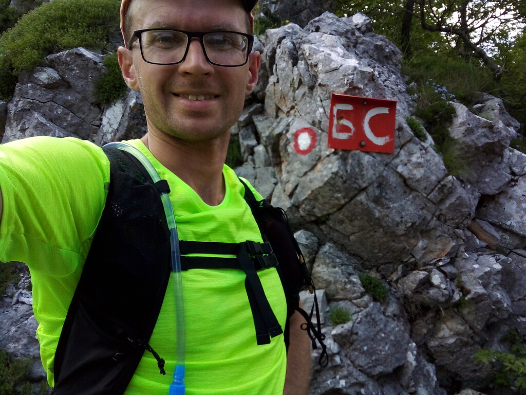
Stage 7 Tri Roge - Bijela Skala
The dawn mostly solved the sleep problem. The trail from Tri Roge to Sutorman was again rather slow due to heavy undergrowth and tall grass. The asphalt section before Sutorman was rather was rather hard on my feet. Shortly after Sutorman I had to switch to track recording on the phone (Strava app) for some reason reserve set of fresh batteries worked only 4 hours in my Garmin GPS. The 3km section right before Bijela Skala is changed some time ago. The old variant can't even be found, I have tried to follow it by GPS track but it is blocked by bushes and fallen trees so I opted to the new one. Time: 10h, distance: 21km (Total: 52h 40m, 152km)
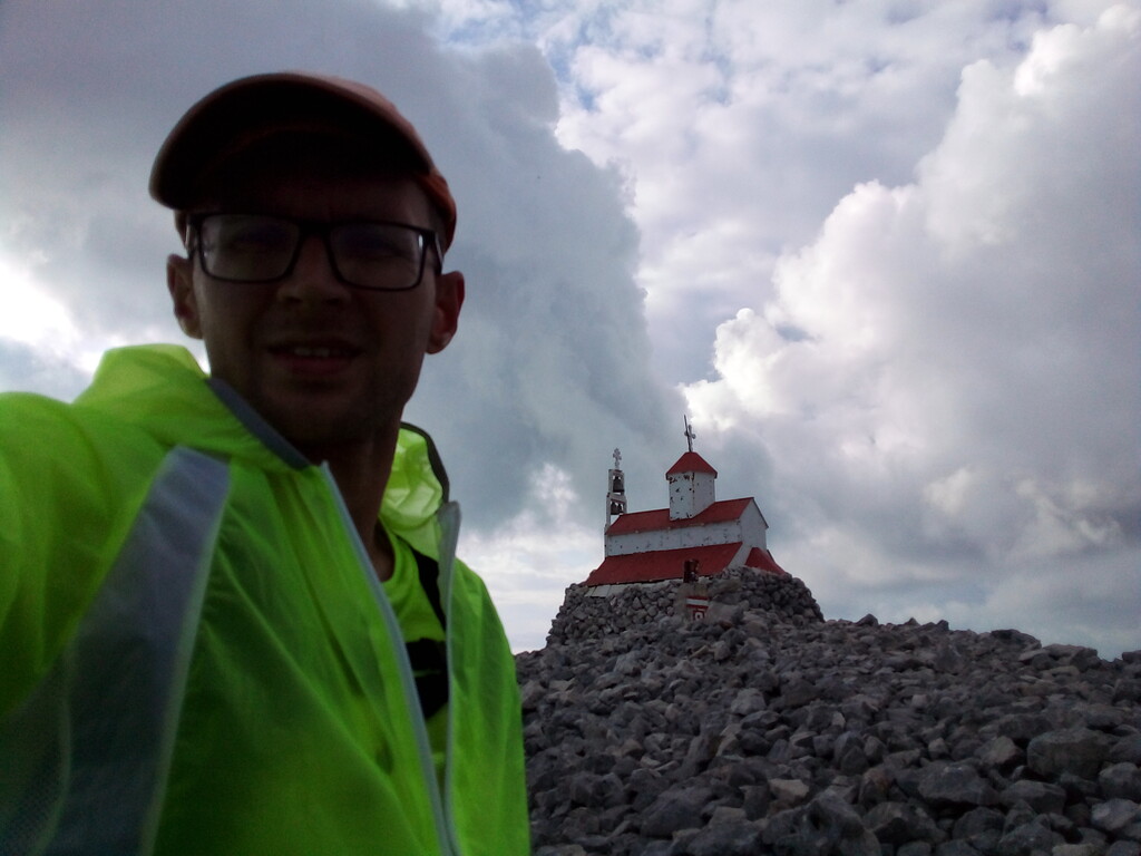
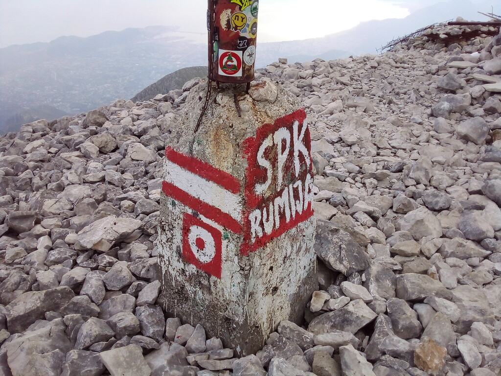
Stage 8 Bijela Skala - Rumija - Bar
I was able to maintain rather good speed on asphalt section before Rumija. The ascend itself was ok, but on the descend I lost a track for a while and was caught in thunderstorm with a hail. It felt rather refreshing so I run all the asphalt section back in a good pace. The descend to Stari Bar is rather technical and I was caught by dark there with not much charge left in my headtorch, so it was slow. The final section to the bus station was just a fine run/walk through the sleeping city. Finish at 22:20, May 23. Time: 7h 40m, distance: 23km (Total: 60h 20m, 175km)
Food: about 0.5 kg of various jelly candies, 1.4 kg of various protein bars, 0.1 kg of local jerked meat "pršut"
Water: about 7 liters, 6 isotonic tabs
Water sources I used:
Studenac, near Orijen-sedlo pass (N 42.55701° E 18.54938°) - fresh and very cold water
Ilijina Voda, north of Sv. Nikola church (N 42.51052° E 18.75704°) - a bit stall water, but there are no other options there
Međuvršje, NW of Jezerski Vrh (N 42.40316° E 18.82292°) - fresh and clean
Jama, on foot trail to Jezerski Vrh (N 42.39585° E 18.84058°) - fresh and clean
Babina voda, in Brajići village (N 42.30536° E 18.89615°) - not very clean, no place to seat nearby
Mrtvica, SE of Kosmač (N 42.29696° E 18.90822°) - fresh and clean
stream under Tri Roge pass (N 42.18836° E 19.01559°) - could be dry in summer
Markov kmn (42.11944 19.16155) - my favorite stream, full of fresh water even in mid-summer
Comments
Extended report (in Russian):
https://mike-nn.livejournal.com/20613.html
https://mike-nn.livejournal.com/20900.html