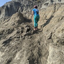
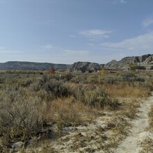
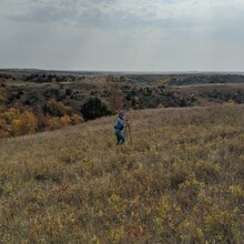
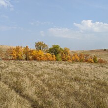
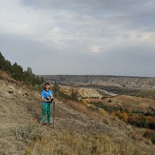
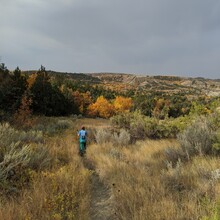
I did this hike with my husband, using my phone for Strava and his phone for photos. We brought water and food with us in our daypacks. We started at the Juniper campground and headed west, crossing the Little Missouri River right near the beginning of the hike. Not the best idea since we had wet feet for a few miles, but it was warm enough that they dried off quickly. The hiking through the prairie grass was very pretty and fairly easy going. The first 8 miles held some ups and downs over buttes, as well as a few tricky spots to keep track of the trail. Around mile 6 we followed a bison track off trail for a bit before realizing our mistake and backtracking. The second river crossing was a bit easier and shallower. The climb starting around mile 8.5 was steep and difficult up shifty rocky soil, but just 2.5 miles later we were able to stop at the Oxbow Overlook area which had picnic tables to rest and eat lunch, as well as pit toilets.
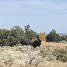
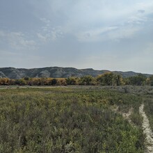
We got off to a rough start after lunch having trouble finding the right trail to descend from the overlook back down to the river valley. We also missed a turn and headed toward the river before again retracing our steps and finding the right trail again. The hike through the river valley was difficult to follow with the sagebrush towering over some of the trail markers, making some impossible to see until we were just a few feet from them. Around mile 15.5 we were forced off trail by the bison bull pictured who was relaxing right in the middle of the trail. The final ascent started about mile 16 and was very steep heading directly up a bentonite butte face. This was the most difficult climb going this direction, but once at the top, it was just a short scramble until the final descent. The trail was downhill from there heading back toward the river, coming by the Cannonball Concretions as a final geologic sight to see.

