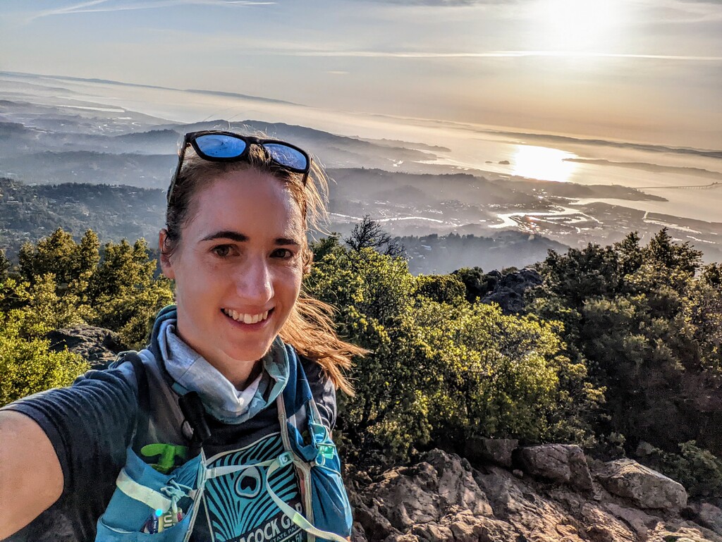
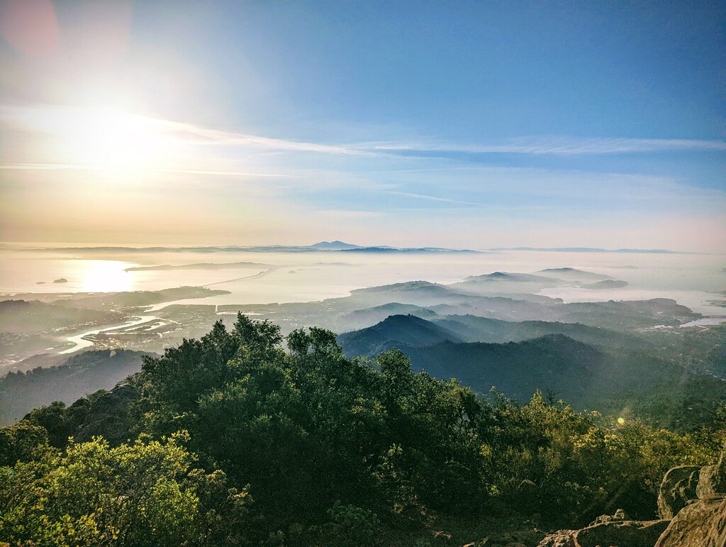
Awesome connection of several (all?) high points and peaks in Marin with wonderful views of San Francisco, the Headlands, the watershed and so much more.
It’s def worth starting early enough to catch the sunrise on the way or on top of Mt Tam. On top of Tam is also the only water fountain on the way. At mile 20 is a creek with plenty of water, and there are at least 3 more smaller creek crossings before mile 30 (these ones will probably be dry later in the year). After that is absolutely no water. I skipped the detour to the reservoir since I had my lovely crew providing me with water and watermelon twice on the way!
I took an open fire road/trail from E Ridgecrest Blvd to the West Peak of Mt Tam, and there was no sign of it being closed. However, on the way down on Airforce Try, there is a sign that said that the area is closed to the public…
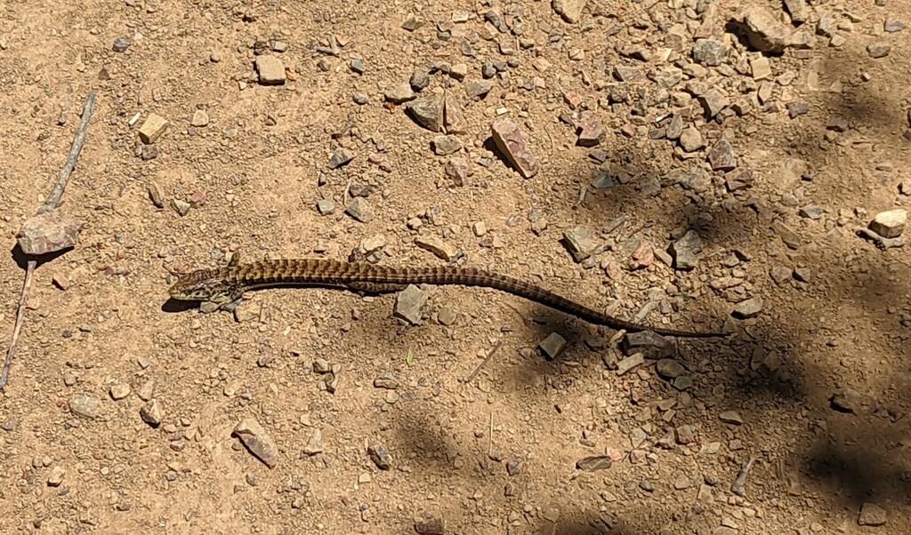
It was an extremely hot and snake-y day, especially in between mile 20-37 is prime rattlesnake territory, I have seen multiple big snakes there on previous runs and we ran straight by a rattlesnake den this time - unnoticed by us, but I got an email alert the next day, warning hikers and bikers about it.
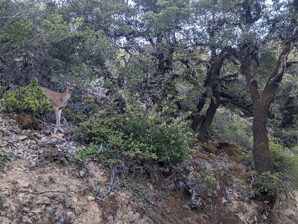
Wildflowers were still in full bloom and plentiful along the way. It is an absolutely gorgeous route and I agree with Pat that this should be a Bay Area classic ;)
Comments
Nice one Nadja! I’ve looked at doing this route several times but never went for it. You set a blazing time on it!
Amazing effort!