While I was visiting my friend in Anchorage this summer, I spotted the Penguin Ridge from a rainy run in the clouds up at Alyeska. I looked at some maps and stumbled upon the Penguin Ridge Traverse.
Despite the grim weather outlook (Cloudy with 100% chance of rain for the next week) I returned five days later and parked my friend’s car at the eastern end of the route near Alyeska. From there, I pedaled a beater bike approximately 14 miles on the Bird to Gird trail to the Bird Valley Trailhead. After locking the bike to a tree, I looked down at my running vest and realized I had already drank all of my water. “With all this rain, I’m sure there will be plenty of water before I get to the ridge”, I said to myself as I ran up the trail. There wasn’t any. By the time I got to the top of Penguin Peak, I was squeezing sweaty rainwater out of my buff to drink.
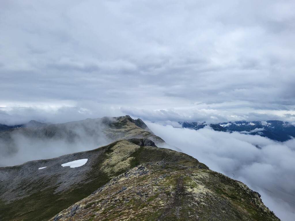
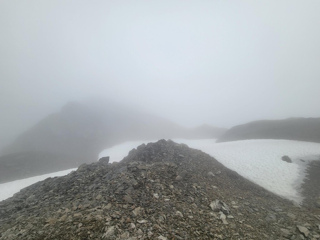
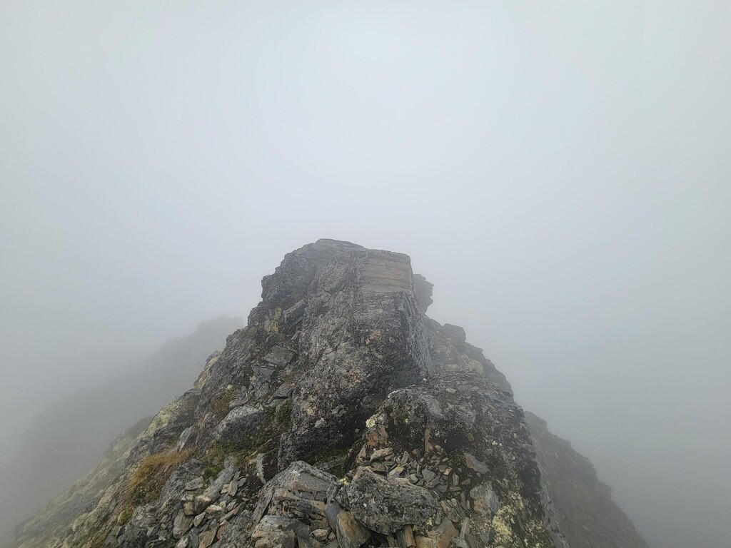
It was windy, cold, and rainy. Diabolically, I also had no water. Most reasonable people by now would have turned around, but I was leaving Alaska in two days and decided to try my luck pulling water from the snow fields I could see further along the ridge. Roughly a mile and a half later at a low point before Peak 1162, I was able to filter water from a puddle in a north-west facing cirque. From there, it was smooth, but very wet and slippery sailing along the Penguin Ridge. Route finding in the clouds was painfully slow and the wet tundra was too slippery to run downhill, but eventually I made it to the top of Gentoo Peak. At this point, there was nothing but 3500 feet of vertical bushwhacking between me and the warm dry clothes in the car.
None of the trip reports I read could have possibly prepared me for the heinous descent to California Creek. Back home in the Intermountain West, I like a good scrambly bushwhack. Alaska bushwhacking is on a different level. You guys are crazy. The descent felt like walking through a car wash naked, but instead of cleaning, it left you covered with dirt, mud, sweat, and blood. To avoid startling any of the large/scary creatures in the unfathomably terrible zone between Gentoo Peak and California Creek, I yelled obscenities at every bush as I stumbled downhill. Eventually, I hit some sort of bike trail and ran back to the road. On my way home, I stopped at the bakery in Girdwood and got one of their delicious hubcap-sized cookies. 10/10.
Excellent route and top-notch suffering! If I could, I’d do the route again on a dry, sunny day and start from Gentoo Peak, going from east to west. The trail from the top of Penguin Peak to Bird Valley trailhead is quite good, and would make for a nice run downhill at the end of the route.
The only things I brought were a running vest, two soft flasks totaling 1L of water, poles, a headlamp, a hat, a tiny first-aid kit, a wind-shell pretending to be a rain jacket, a fleece jacket, and three King-Size Payday bars.