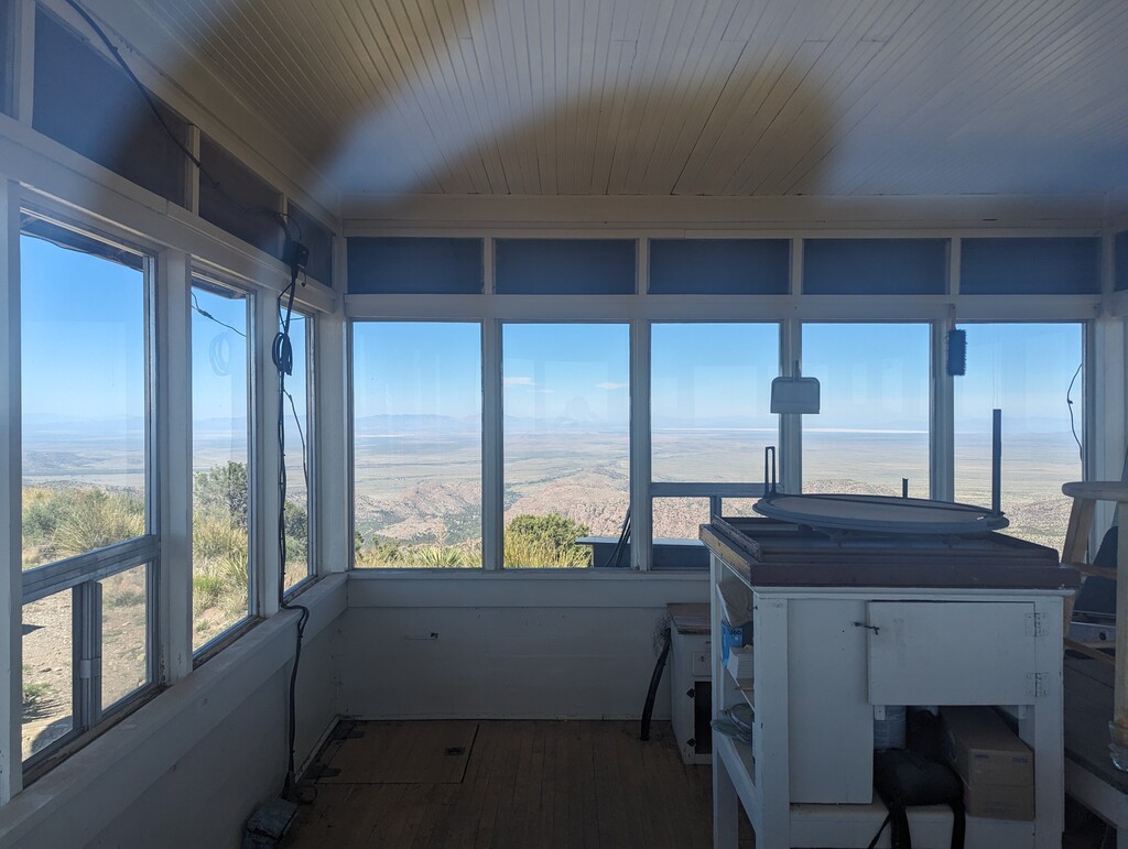


Myself and Natasha Proctor headed out on May 5, 2024 to take on an unsupported attempt. Started at 9:30am after shuttling from Faraway Ranch. This was the last shuttle of the season and we were the only park visitors on board. Shuttle picks us up from Faraway Ranch parking at 9am then makes a stop at Bonita Creek Campground shortly after. The ranger driving the van mentioned that there are two shuttle runs per day in the busier season. She was super nice and was very knowledgeable about the park; she had no issues with dropping us off at Sugarloaf but the normal shuttle route doesn't stop there.
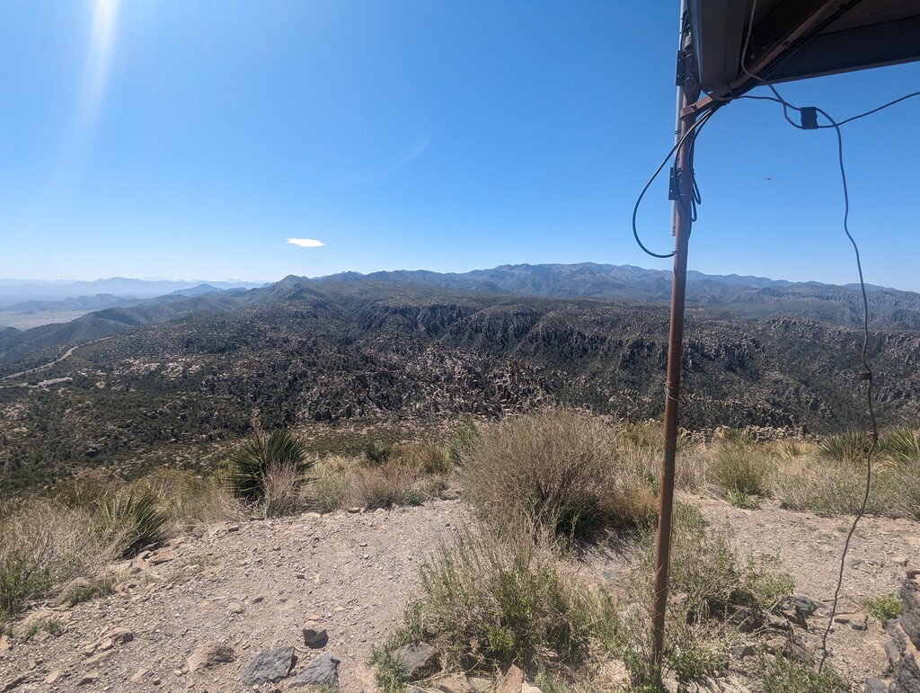
We downloaded Macy's route and stuck to it for the most part. Sugarloaf was a really nice warmup followed by a quick jaunt down the road to the Echo Canyon TH. There are several small connector trails that aren't on the trail map around Massai Point that probably aren't necessary for the route, but we tagged them just in case.
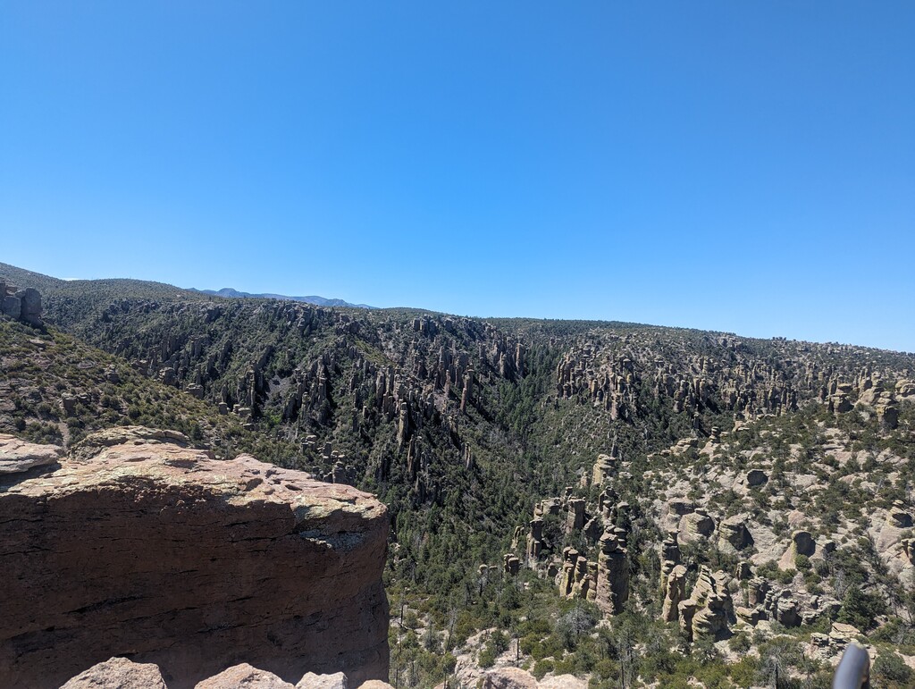
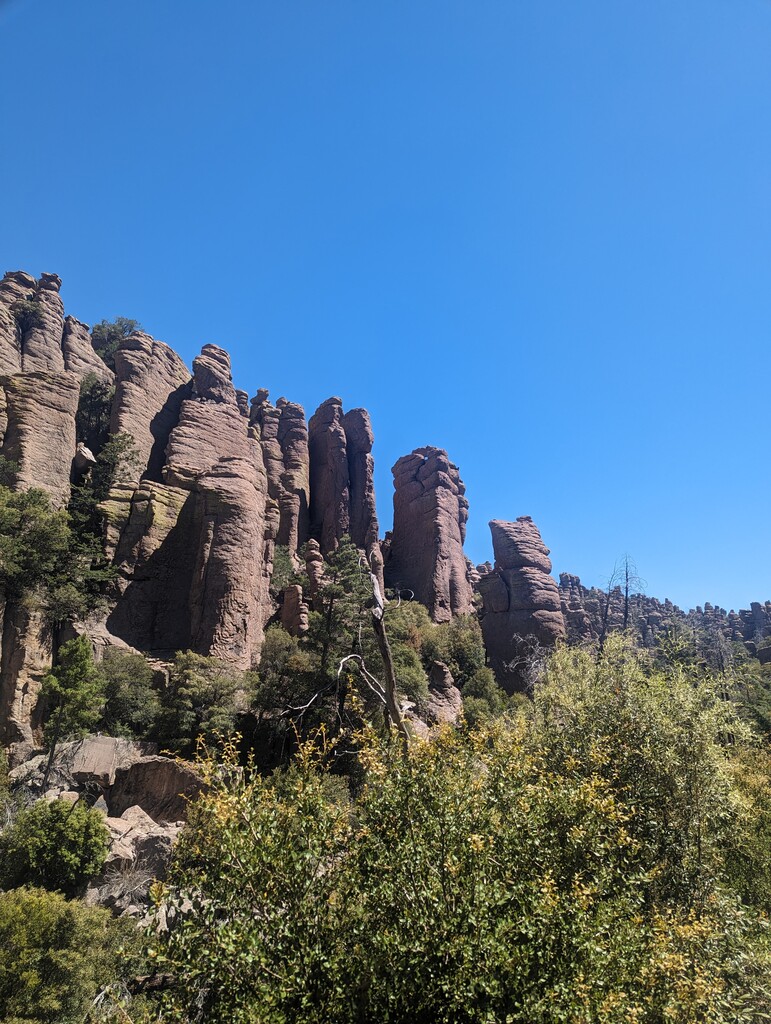
The Echo Canyon Loop was really cool, passing through some big rock spires but was also the busiest portion of the trail, though it was pretty late in the season so it was still pretty quiet.
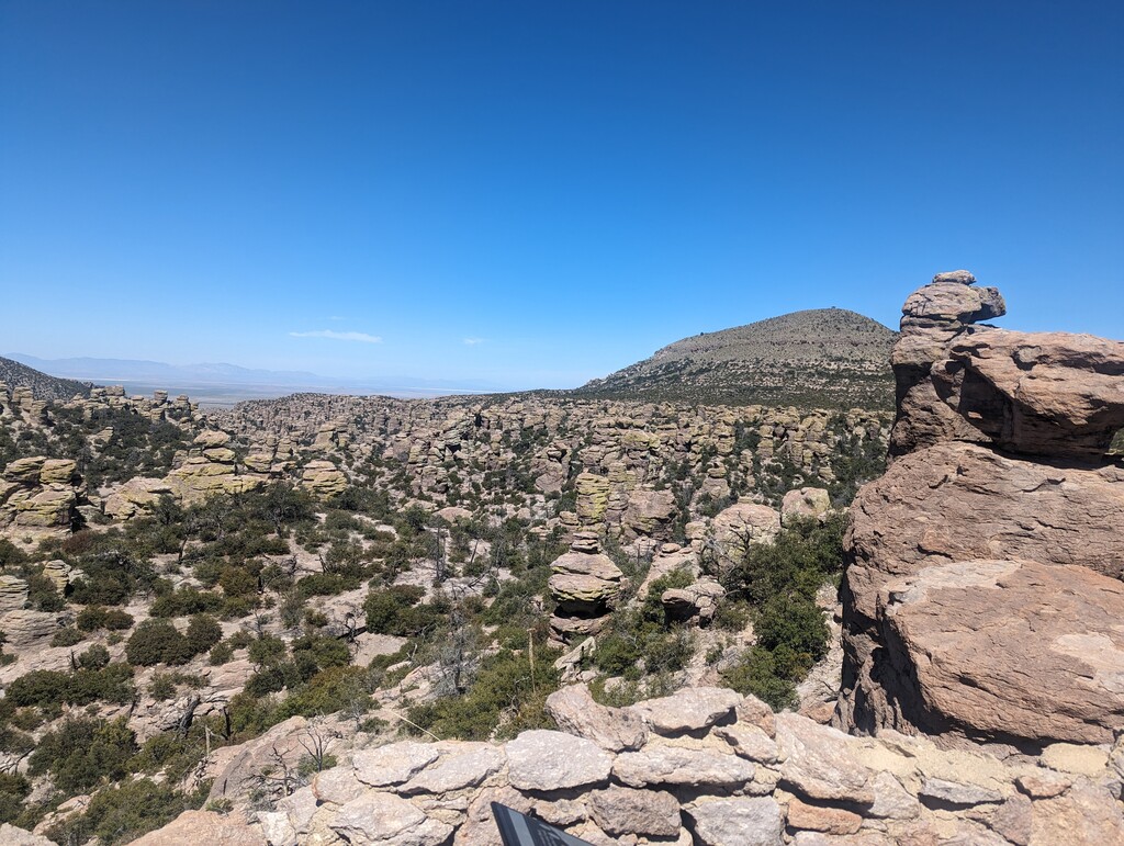
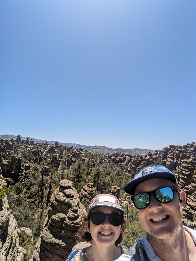
Hopped on the big loop clockwise up to Inspiration Point then Heart of Rocks. Tough to keep track of the trail at some points on Heart of Rocks while also looking up at the rock formations.
A long descent followed to the out-and-back on the connector to the Echo Canyon Loop. Pretty steep climb and a decently technical descent but you're rewarded with another long nice descent to the visitor center. There was no water until this point (~17miles) so we refilled at the fountain at the visitor center. It was mid 80s and sunny so heat was a factor. Any later in the season would be tough. There are a good amount of dry creek crossings in the first 17 miles so a well timed attempt could have plenty of water available.
From the visitor center, we hopped back on the trail to the campground where there's also water available, then up the road to Natural Bridge. At the end of the trail, if you squint, you might see the little arch that gives the trail it's name.
Finally, down the road back to the campground for the last couple miles of flat and smooth trail to close it out. We weren't lucky enough to see any Coatis but plenty of deer and turkey in this section.
This is a really great little park and this is such a great way to se it all in one day!