My wife’s sister introduced me to this trail when we visited from Oregon about a decade ago. When we moved to nearby Corydon in 2013, I started exploring it in sections and fell in love with the rugged terrain and remote feeling, which are more elusive in the Midwest. This is the second time I've run the whole trail in one push, and I had a wonderful and challenging day. I’ve been eyeing the weather and I picked this day for clear skies and temps climbing from 30 up to about 50. It was windy, but the forest and terrain mute that considerably. There had been recent rain, but the Ohio and Blue Rivers were both low enough that I didn’t encounter any trail flooding. In my experience, if the Ohio is above 40 feet at McAlpine Lower, it will back up into the Blue River and crowd the trail near Iron Bridge; 45 feet puts several sections of trail underwater. (NOAA has a good forecast webpage for McAlpine Lower.) The trail was sloppy in sections throughout, but nothing worse than wet feet and slippery footing.
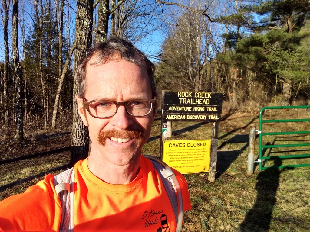
I started running at 9:30, following Troy and Mike’s original 2013 route from the parking area off Hwy 462 variously known as Isaac’s Bottom, Old Barn Shelter parking, Rock Creek Trailhead, and Disabled Hunter Trail. I ran the loop clockwise to put the muddiest mud closer to the end. I ran unsupported, carrying about 100oz of fluids and an assortment of junk food. It was the last day of the special antlerless deer hunting season--I met a few hunters near the trailhead, but none after that. I wore bright orange as a precaution. There are several trees across the trail that require climbing through, but all in all, it’s in decent shape this winter. The trail is well marked, but there are plenty of opportunities to miss a turn. I know the trail well now and managed to stay on it the whole time, though I believe this is my first time ever to get through the Iron Bridge lowlands without a miscue.
My Forerunner 45 clocked 25.54 miles, which is a mile shorter than Troy and Mike’s measurement and about three tenths shy of what my wife Katie recorded on her FKT last month. I would attribute the variation to 1) variances in GPS tracking, and 2) navigation differences. Previous FKTs have included at least small backtracks; to the best of my knowledge I ran every step of the trail cleanly. I started and stopped my watch at the trailhead sign and green gate.
I have to give a shout out to Josh Sanders. His enthusiastic FKT report helped me remember why I love this trail, and his challenge to go sub-5 gave me an inspiring target. Thanks also to Indiana DNR and State Parks, and the Hoosier and KY mountain bikers (and other volunteers) for all the love and care they’ve shown this trail. Faster, slower, or untimed, I’d love to see more people finding adventure on the AHT.