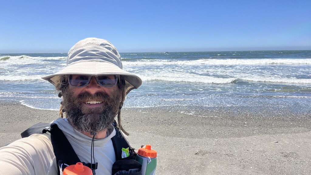
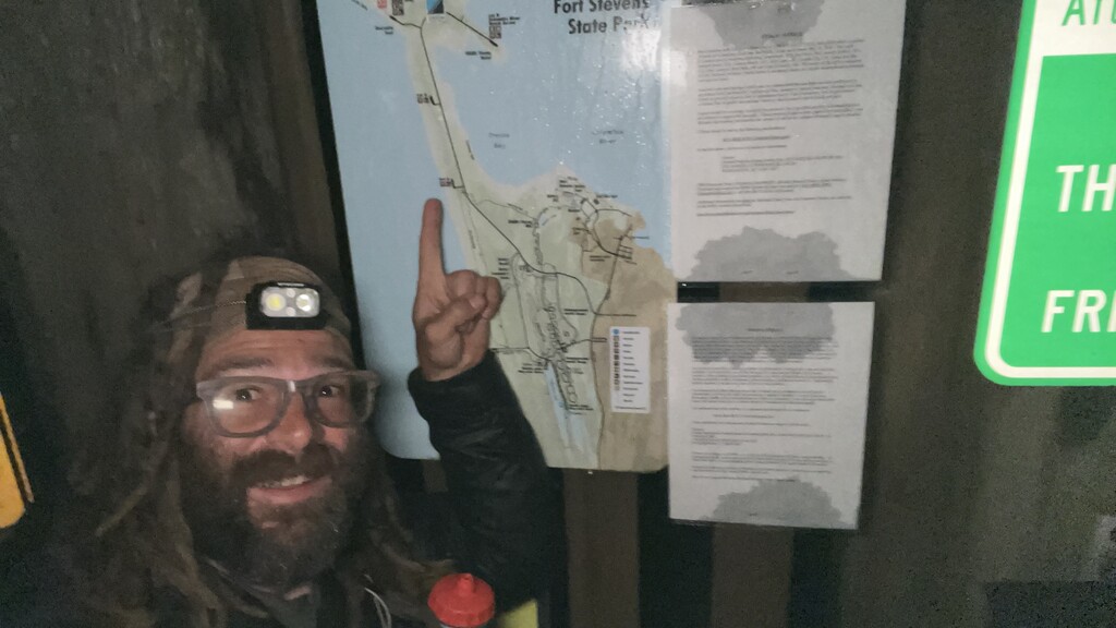
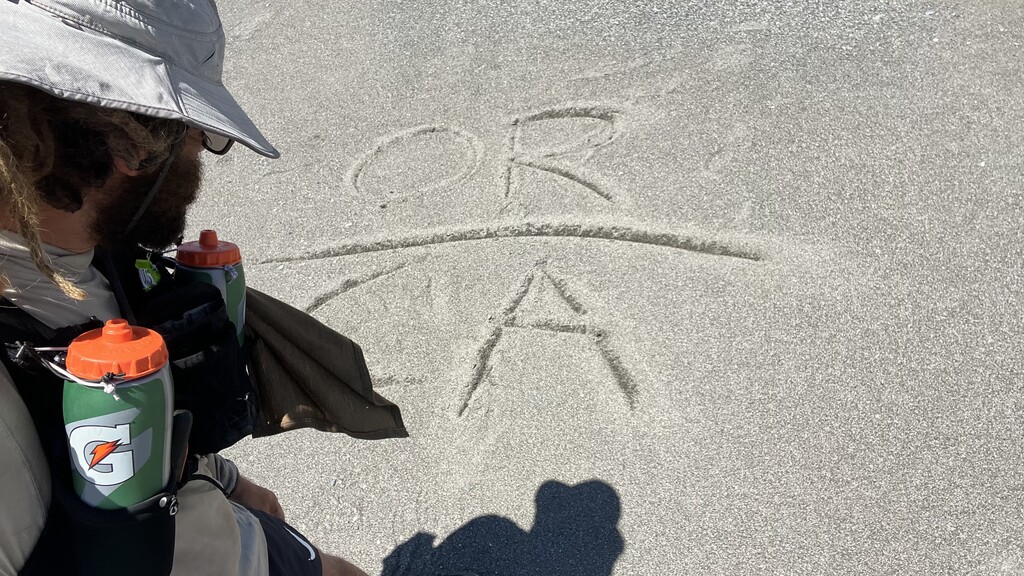
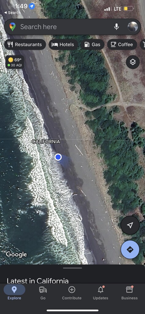
*Selfie photos are start and end times. Photo with the CA/OR border drawn in the sand was taken about a minute after arriving, after the ocean selfie end photo. 6/5 at 3:30am to 6/11 at 1:49pm.
For those unfamiliar with the OCT, the one significant hurdle for FKTs is timing the tides. There are headlands and rivers that can be impassible at high tide. I studied the tide charts and mapped out a pace and sleep schedule (and start date) that I believed would hit the needed areas during low tide.
Already wanted to quit towards the end of day one. I forgot to add in the mileage walking around the bay in Manzanita to my tide schedule—which threw off my entire tide timing plan. Had to backtrack and go around (This added 5.2 miles—possibly 1 or 2 miles more than necessary due to back tracking). Then I figured if I could up my daily mileage I might still be able to pull it off.
Using no ferries and not skipping beaches equated to 418.7 miles for me, although the route could possibly be a mile or two shorter in reality due to my backtracking.
I originally went after this as an unsupported effort carrying 30,000 calories, but on day 3 my battery bank died after only charging my phone once to 50%. I swung into a gas station and bought a charger block which changed my attempt to self supported—then I proceeded to gorge myself with liquid calories at gas stations and coffee shop stands.
- Day 1: 64.5 miles
- Day 2: 64.7 miles. Woke up wanting to quit and just hike the trail slow because of my mileage/tide miscalculation and potential for not hitting the tides right.
- Day 3: 64.1 miles. Feet hurting really bad. Quads getting tight. Getting tired.
- Day 4: 65.6 miles. Started taking shoes off for stream crossings; feet hurt too bad with wet shoes. Couple of bike packers from Canada headed to San Francisco paced me. Was able to keep up with them for over an hour. Took a power nap in front of a fire station to charge devices. Big push to get out of town and not be sleeping on the side of highway 101. Questioning life choices. Questioning why I even enjoy doing these things. Right ITB, left ham, both shins, right knee all getting extremely tight
- Day 5: 61.6. This isn’t fun (oh but it is!) Three bikers from British Columbia that passed me yesterday came back in the opposite direction and passed me again today. Turns out they had missed a turn and hit a dead end—I missed that same turn. Turned around and followed them for another hour of pacing. Left Achilles hurting bad. Heavy night sweats while sleeping.
- Day 6: 60.6 miles. Missed a beach exit. Moving slow. Achilles is screaming. Making navigational errors. Feet are pounding. So badly wanted to stop hours before 60.6 miles, but how can you stop before 60 miles when you’ve been over 60 miles every other day? Heavy night sweats.
- Day 7: 37.6 miles.
Slept a little over 15 hours total.
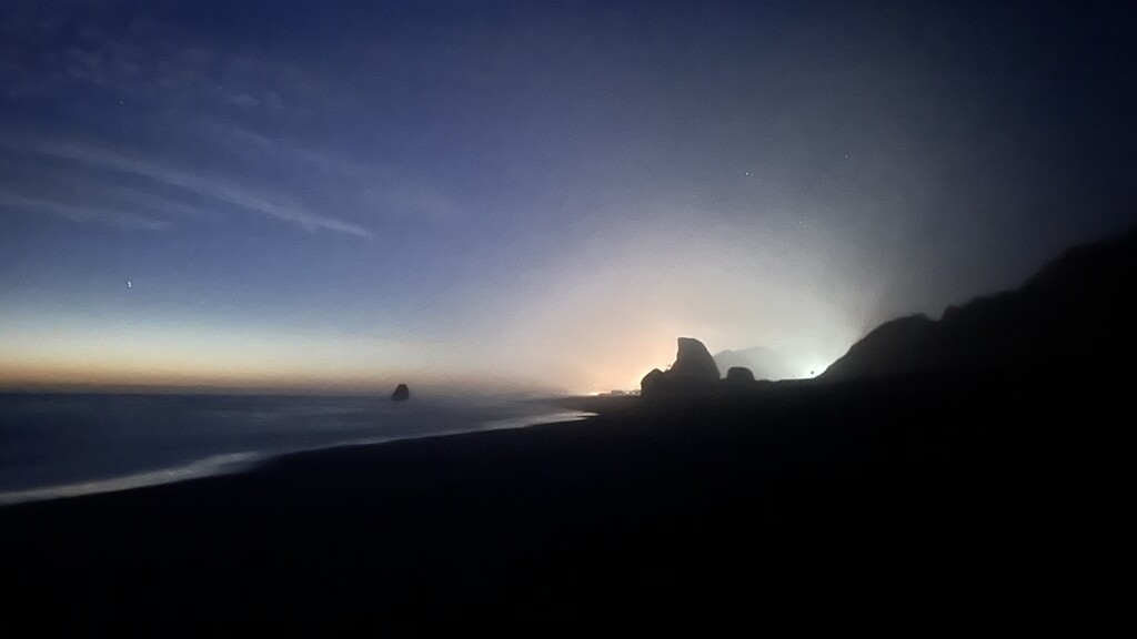
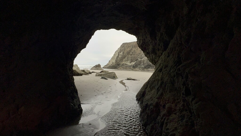
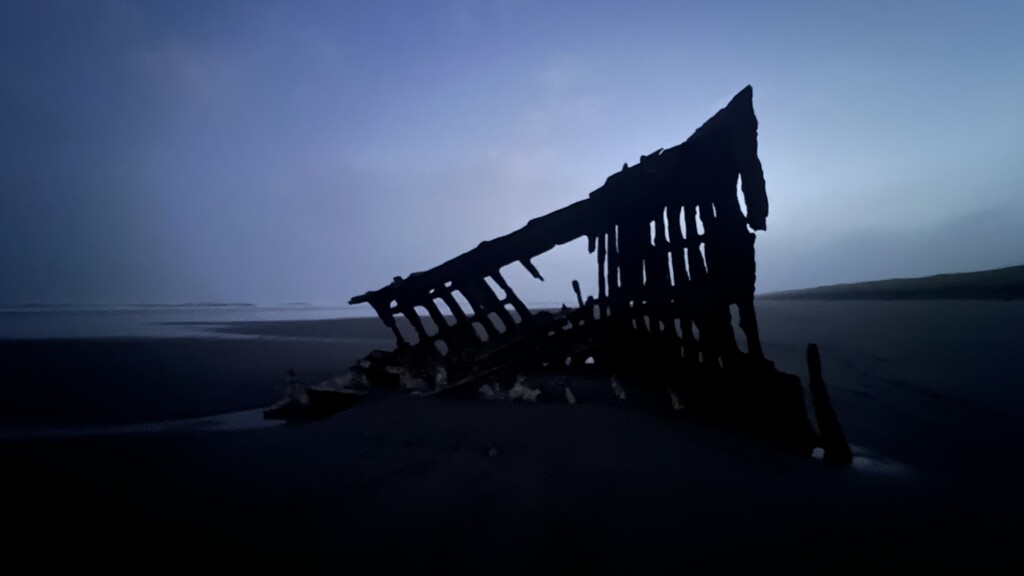
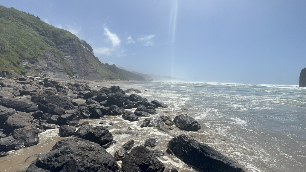
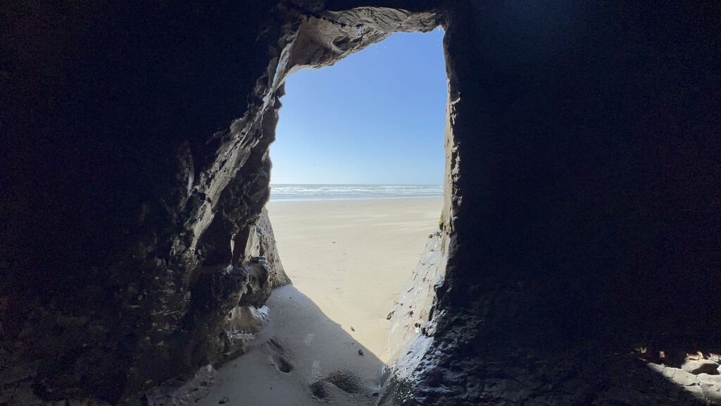
The Oregon Coast is a beautiful place. Sea caves, tunnels and arches. Seals. Starfish. Sea urchins. Bald eagles. I even saw a whale! Hit every tide crossing perfectly. The most difficult one was likely the Sixes River. It was nearly waist deep even with a -0.9ft tide.
*Special thanks to Trent Binford-Walsh for shuttling me to the start
*Special thanks to Veg and Sketchy for storing my car + leaving me cold liquids at the finish.
*Even more special thanks to Hannah for allowing me to go on fun adventures like this.
Comments
How did you cross the Nehalem river at mile 56.9, did you wade the river? Just trying to figure out how to do it. Thanks!
I road walked around the Nehalem Bay to keep a continuous footpath and not use the ferry.