
Excited to have set the new Support FKT for the Corvallis to Sea Trail in 08:26:38.
Personally one of my best ultra distance performances. Entering into this adventure I had the goal of finishing in 8:30, so I'm please I was able to pull that off. Quick recap of my experience below.
Planning for this route
I chose this date/time of year on a few factors. It was a perfect lead-up adventure for an upcoming 100miler I'm doing. Spring in the PNW brings ample water so if I needed to refill I didnt have doubts about streams being full. With the route passing through or by so many timber company lands, I wanted to get out there before their operations started picking up. The coast highway can get REALLY busy in the summer so by doing it earlier in the year I could avoid waiting to long to cross to the finish. I decided to run this supported to make my life a little easier. That said, an unsupported effort is very possible during the spring when streams are full, I could see this being a real challenge when they dry out later summer. The creeks are not easy to access.
Day of Experience
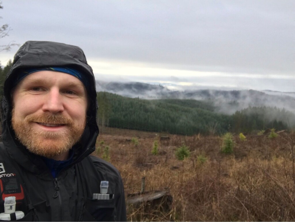
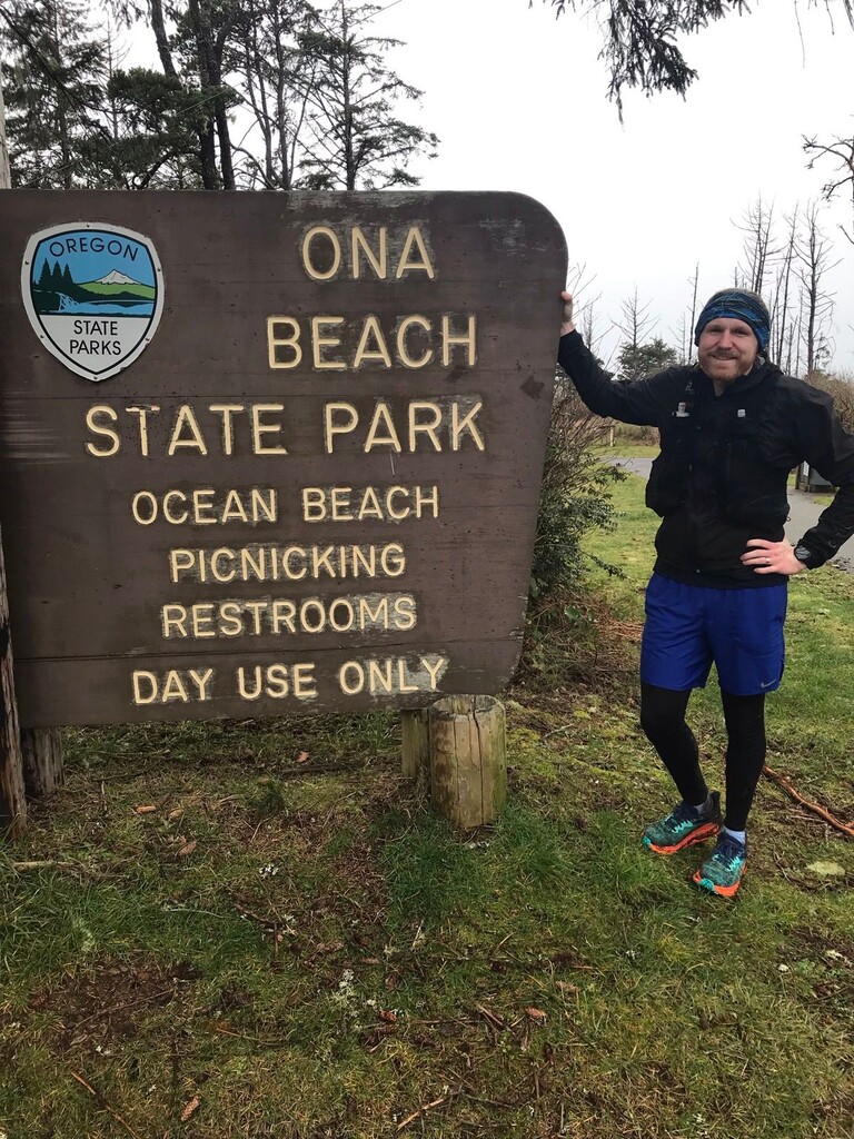
The route as a whole is REALLY well marked. Truly impressive. I only had to check my phone for confidence on route twice later on in the journey. Weather was pretty consistent for the day, low 40s, with light to heavy rain, with heavy winds once you get to the coast. The first ~7mi are flat on paved community paths or road. Easy to cruise. Old Peak Rd is where the first climb begins. Since it is the biggest and longest climb I was pretty patient and it paid off. Around mile 12 there were a TON of downed trees (20-30) that required some dancing around a slowed things down. Mile 17-24 had 6-12in of snow which really slowed things down and increased effort. Those miles were followed up with a couple very muddy downhill miles. This was a spot I was hoping to conserve energy and bank time going downhill. I'm sure during the summer someone can make up an extra 20-30min easy in comparison to my time. I met my wife three times on the route to resupply. The intersection of Wood Creek rd and Old Peak road was Aid #1 (16mi mark), a good place for a first resupply. My second Aid was in Harlan (~29mi), common spot for other runners. The next section involved some good climbing on forest roads. Not very scenic so I recommend having some music to keep the mojo up. My 3rd and final aid was planned at the Beaver Creek intersection (~41mi). But I beat my wife there so I met her further down on the downhill section (~44mi). That section is wonderful with gentle downhill on forest roads. Confidence markers are sparse on the back half of this route so definitely pay attention and have the back up map. Make sure to leave a little in the tank since the last few miles are fairly flat with some rolling hills. You can really feel those if you burn yourself out on the downhill on Beaver Creek. On that flat section I saw I was close to my goal for the day so I pushed the final mile to buy some wiggle room geting accross the highway to the finish.
Overall a very runnable route. If you are excited for long hours in heavy evergreen forests and a fair amount of rain this is the adventure for you. If you do supported I liked the aid intervals that I met my wife, roughly every 2hours / ~13mi.