Long-awaited challenge: We planned to do this route originally in March of 2020, but one day before the planned date, the lockdown started in Spain, so we had to postpone it till June 2021.
I'll try to keep it short, for anyone interested in doing this, or for curious people.
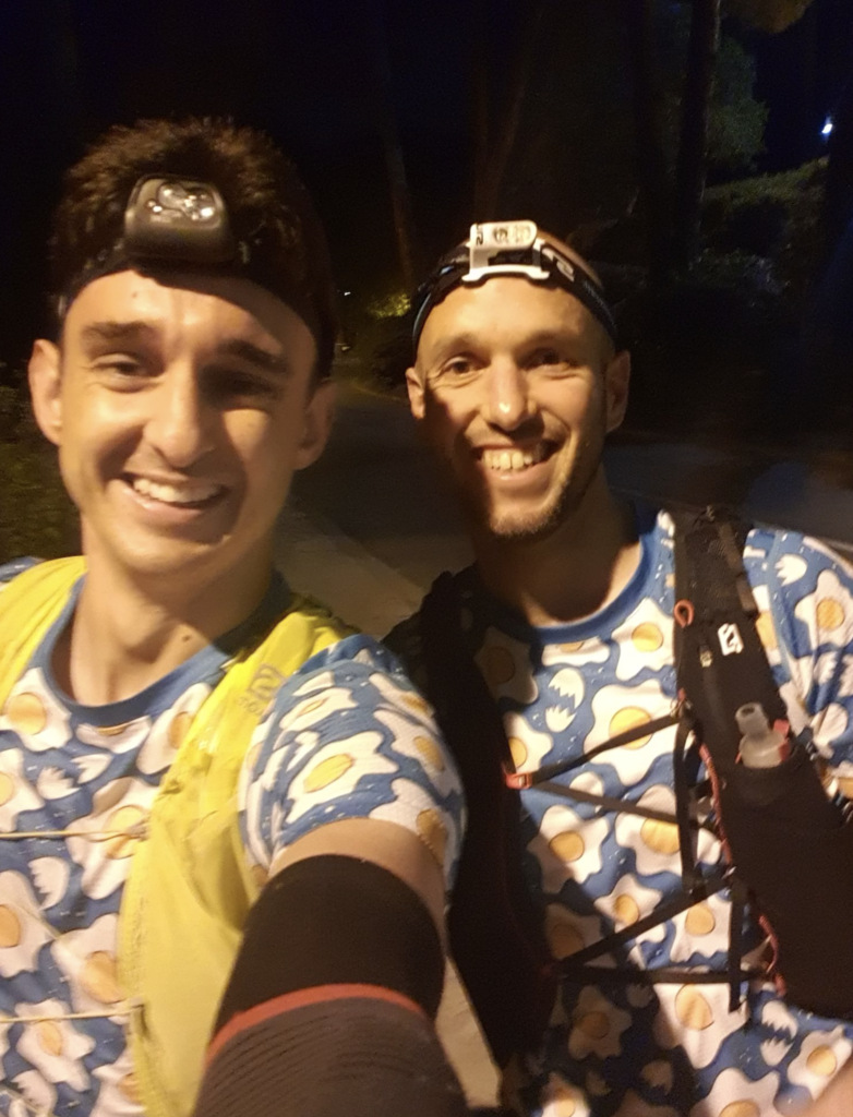
Team: my mate Victor and myself. Unsupported
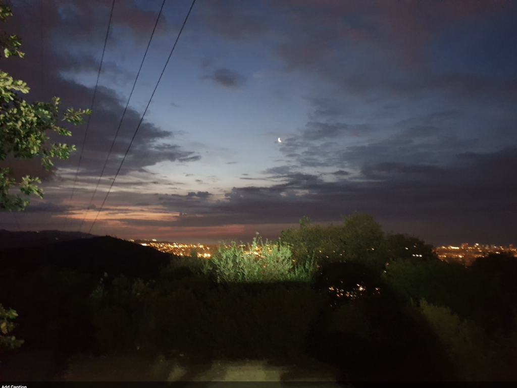
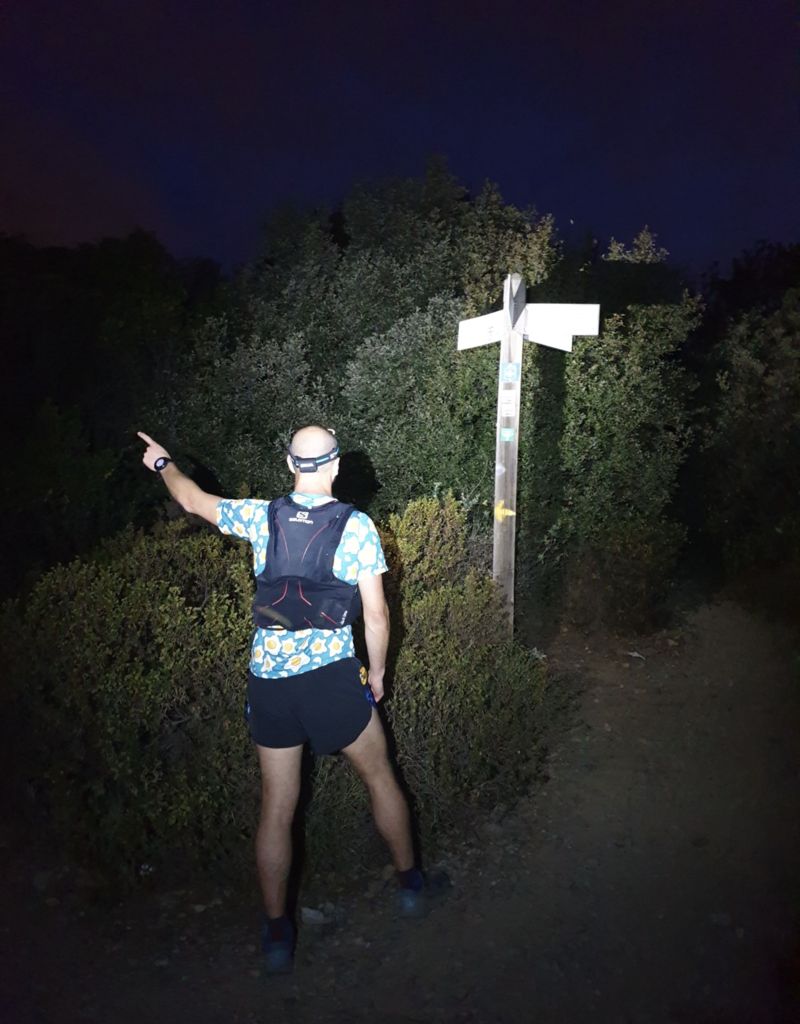
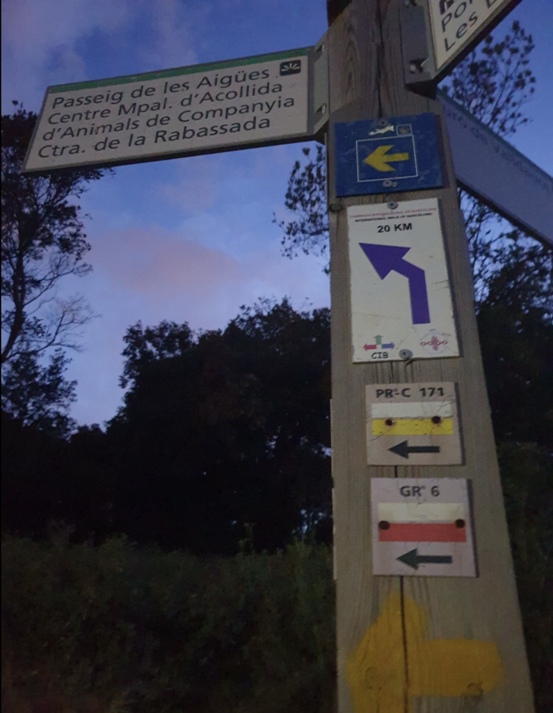
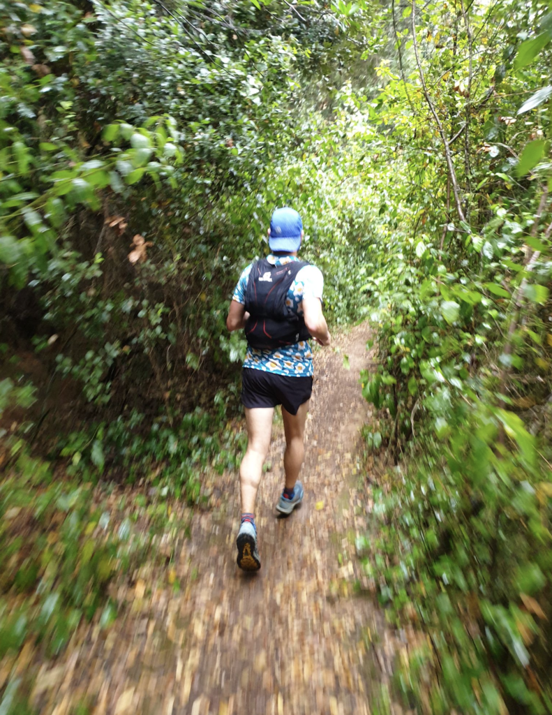
We started at 5 AM in Horta and followed a mix of GPS track and GR6 signs, which in many segments overlapped with the yellow arrows of Cami De Santiago.
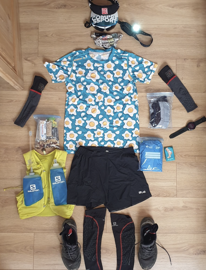
Equipment: Light running t-shirts and shorts, a rain jacket, a windstopper, 3 energy bars, 4 gels, 6x salt caps, 2x500ml water flask with electrolytes, dry fruits, sun hat, headlight, smartphone in energy-saving mode to take pics, Garmin Fenix with contactless payment, fresh socks, and t-shirt.
Effort: we tried to keep a nice and comfortable effort/output most of the way: run on descents, flats, and up to 5% inclines, walk the rest of the time. We wanted to reach the start of the Montserrat ascent with an average pace of 7min/km, and then let the mountain and legs decide.
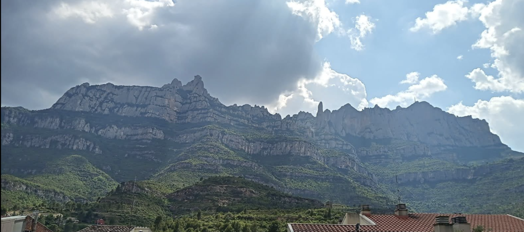
Weather: Thankfully cloudy, no wind, perfect temperature, and maybe 90 minutes of rain. The sun rose from the clouds (along with the temperature) on the final ascent, to make it harder.
Breaks: we stopped (without stopping the timer) for brief moments (20 sec to 5 minutes max): pee, refill water, look at the GPS track, and in Olesa to get some food before the final 15k.
Water: There are fountains on the way: KM 6 (Sant Medir), KM 10 (Sant Cugat), KM 20-22 (Las Fonts), km 37 (right before Olesa). From there you are on your own, so make sure to load up.
Marks: you can follow GR6 red/white marks (pay attention to variants and other GRs), you can find the original tracks online, or the yellow arrows for the Cami De Santiago. We mixed it up a bit using a GPS track.
We only made two or three mistakes with a cost of 5-8 minutes. Not bad considering it was the first time.
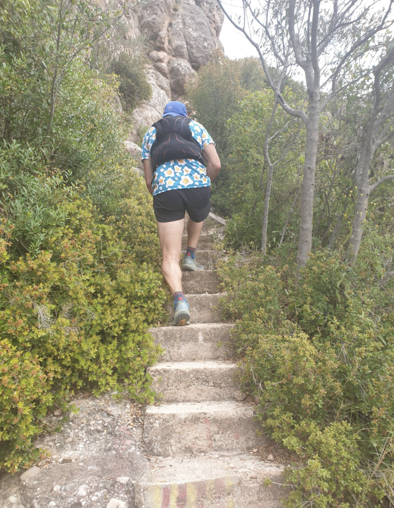
Feelings and notes: The route is nicer than one could expect, provided that it begins in a major city and it has to go through some towns and urban areas. I estimate 20% trails, 50% dirt roads, and 30% roads.
The time flow was great till Olesa, basically km40. From there, something changed in our perception and every 10 minutes felt like an hour. On the final ascent to Montserrat, the passing of the time basically stopped and every step represented a major effort. Keep some legs and mental energy for the last two hours, you'll need it.
Notes: We saw some wild pigs on the start line at night, then nothing but some rabbits here and there.
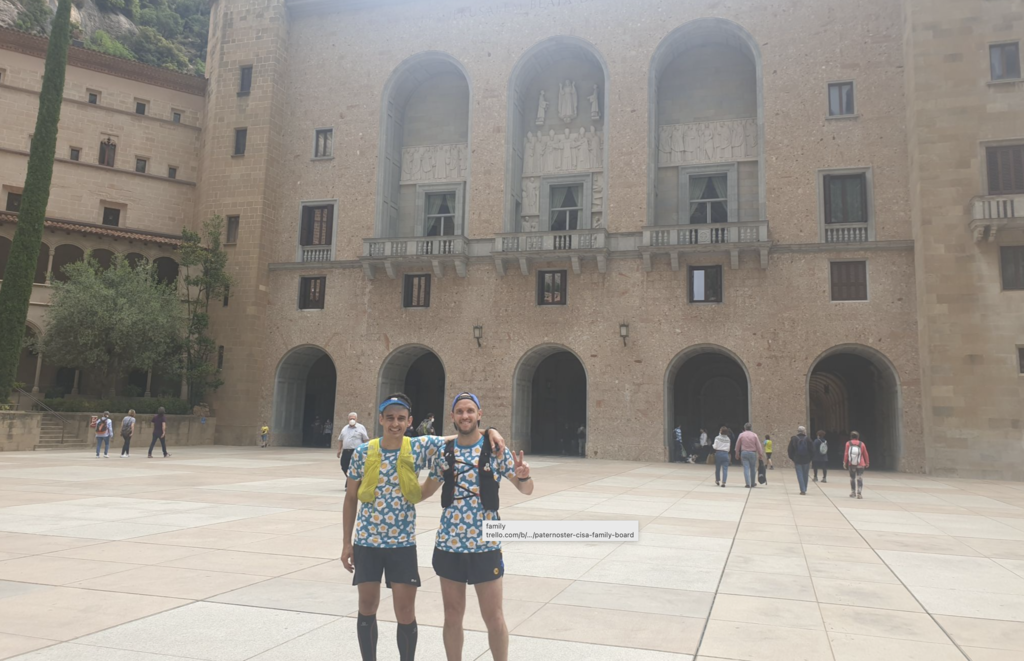
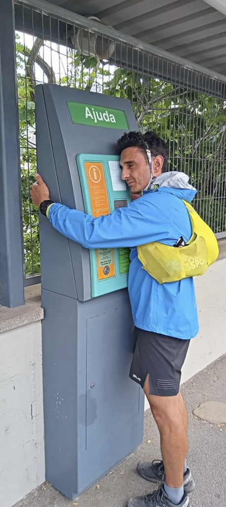
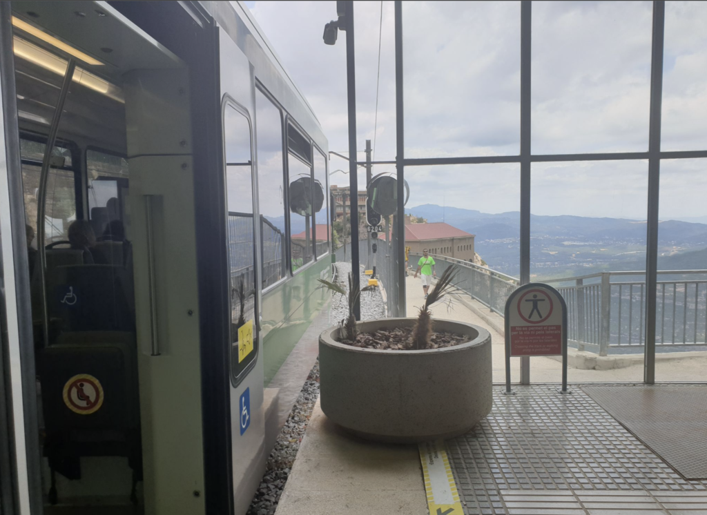
When we arrived at the Monastir we were energy-drained and in pain. We refueled with water, beers, chips, and had lunch down in Monistrol. I suggest you plan to take the train down, walking downhill will feel almost impossible. Make sure to bring cash/cards and some clothes.
Sunday is crowded in Montserrat: make sure to book a restaurant (I suggest BO2 in Monistrol).
Sunday you'll find most shops on the way are closed. Only some convenience stores, gas stations, and churrerias.
If you end up doing this, please send me a note! We've found that this route is under-explored! (basically, almost no one is running it despite its value).
We plan to repeat it next year and go for a sub7 hours time.