Originally I (Nils) wanted to create a 50miles adventure before fall since I did my first 50km race a month before and it went well (Prospector 50k in the Beartooth).
Ethan worked on the route since he knows the Beartooth really well and then Mark joined a few days before departure. We were aware of most of the updates needed for that route with the past events (flooding mainly in 2022 and 2023, Rimrock bridge gone and start of East Rosebud trail gone).
Originally planned for September 21st, we cancelled early in the morning before departure because of the weather conditions. Rescheduled for September 29th.
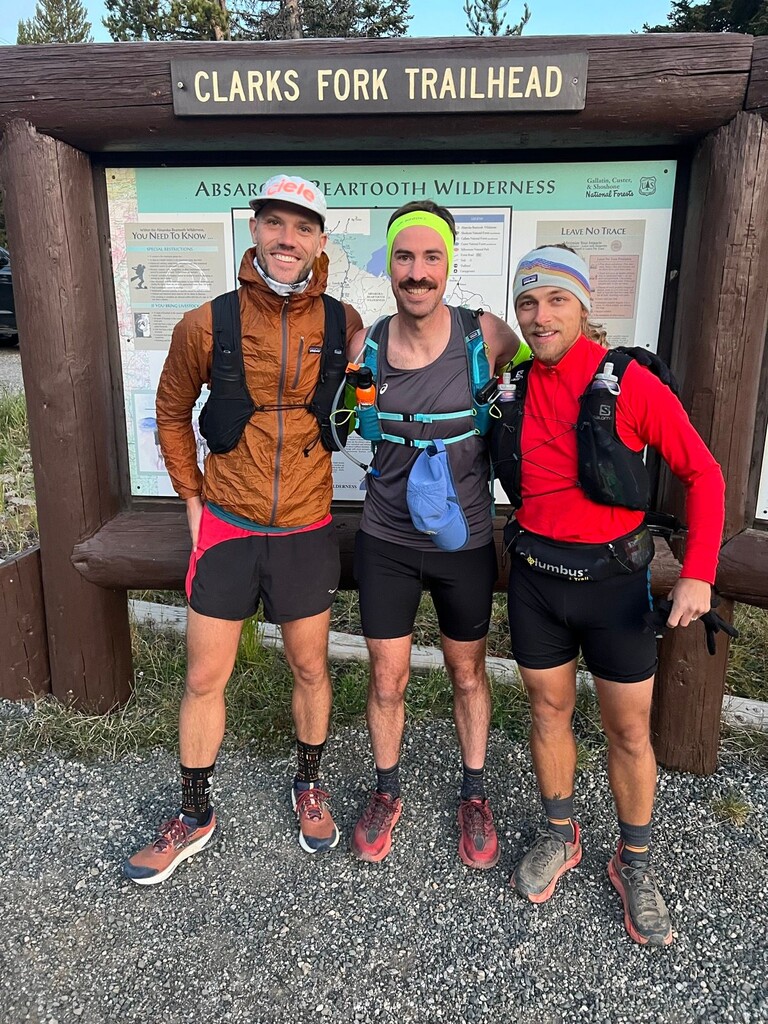
Woke up at 4.15am, we dropped a car at Silver Run plateau parking lot at 5.15am and then someone drove us to the start.
We started at 7.04am with 32f, Clarks Fork Trailhead sign is when we started the watch.
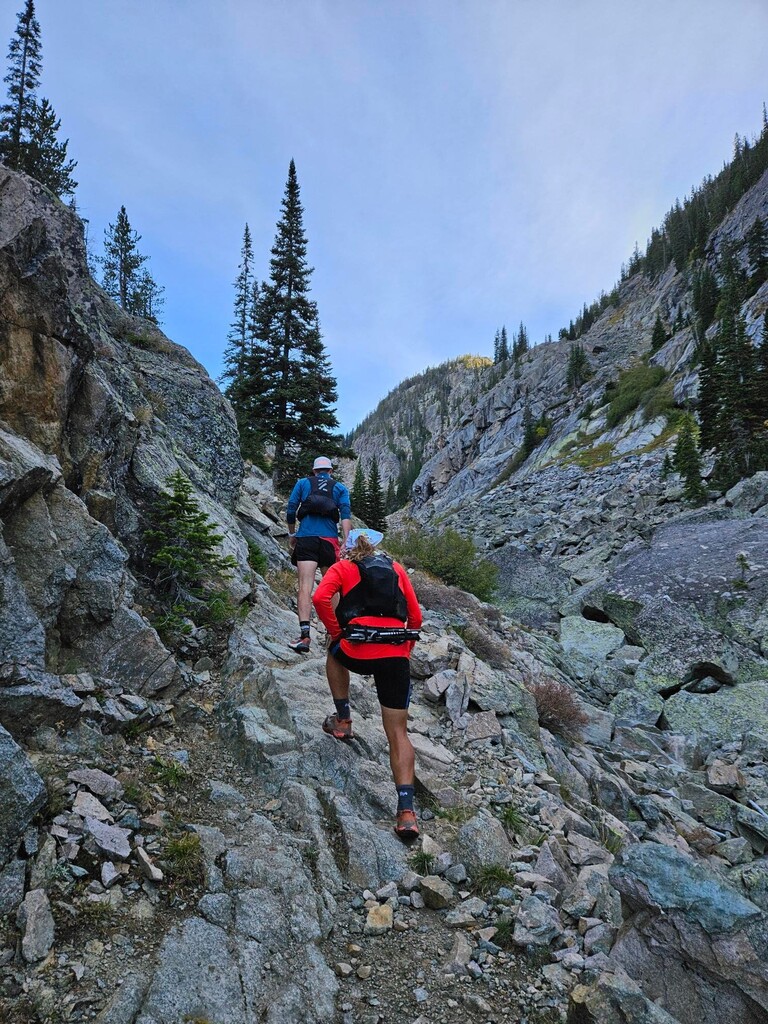
Don't get lost in the first few minutes with different routes possible, but except a bit of mud in the first 5km (cow/horse trail) the trail is then almost 40 kilometers of cruising along more than ten beautiful lakes until the Rimrock Lake crossing.
Here the bridge was gone (we could see it a bit further down in the rocks) but a few trees in place did the job to cross (big rocks on the side also).
Then you're fine for 2km, the East Rosebud trail follows the East Rosebud creek. But the closer and lower you are from the creek, then the East Rosebud trail will disappeared and at some point it has been totally washed out from the past flooding (2022 and 23 ?). It's pretty straight forward but you have to navigate across the rocks and across the creek several times to find your way to Elk Lake, which has also almost disappeared too.
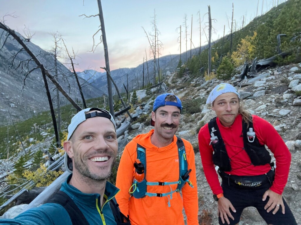
Then trail maintenance has been quite perfect from Elk Lake to Alpine. I was there late July and a team was working over there (blasting and clearing trees), cheers to them.
In Alpine we did our longest break, 10/15min, mostly to empty shoes from water and sand.
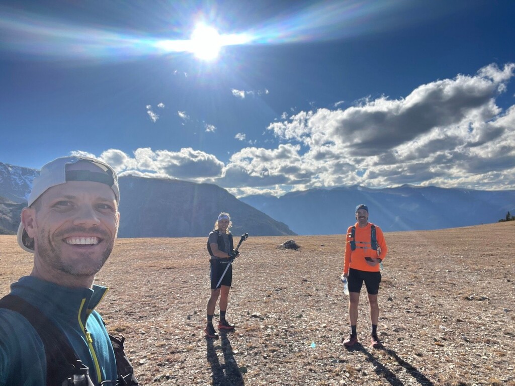
From Alpine we started the second chunk (km 45) and everything went pretty smoothly.
Sunset exactly when we started the road portion (km70).
We ended with the full moon above us.
Finish is at your car (or at least when you pass the bridge) at Silver Run parking lot.
Several "less than 10 min" breaks along the way, only one break was between 10 and 15 min (Alpine, km45).
We prepared our own supplies prior to departure and refilled water from natural sources only (plenty of them in the first half, less but still enough in the second part).
Distance : 82,46km / 51,2 miles
Time : 13:55:59 (12 hours 44 minutes of movement and 1 hour and 10 minutes of breaks)
Elevation Gain : 2,643m / 8,671ft
Elevation Loss : 3,083m / 10,114ft
Average Pace : 9:16/km / 16:11/mi
Highest Altitude : 3,106m / 10,190ft
Lowest Altitude : 1,899m / 6,230ft
As far as FKT improvement it's definitely doable with a better management (or conditions) between Rimrock Lake and Elk Lake.