
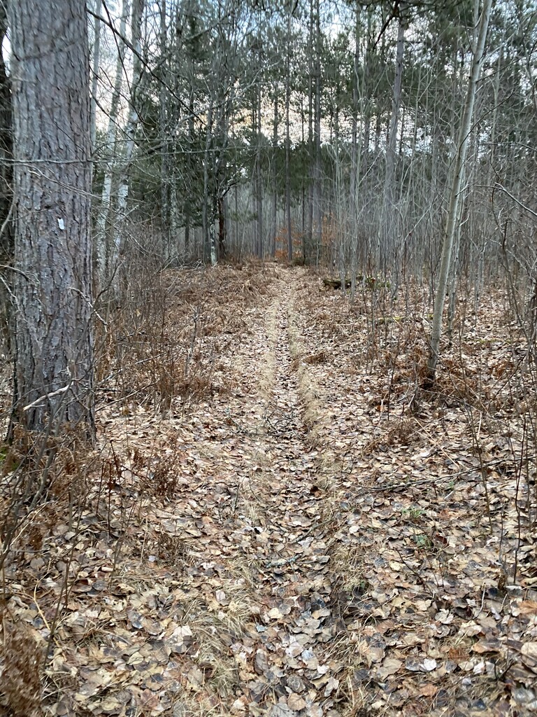

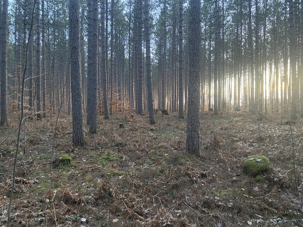
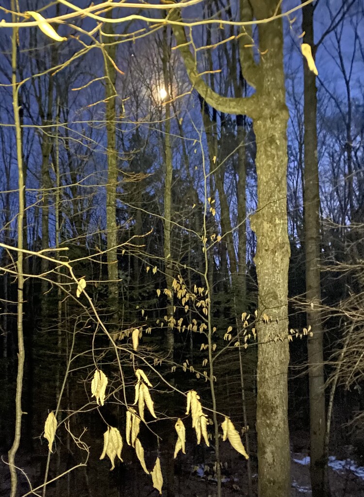

Hit the trail in the northern direction. Started and finished in the dark. Weather was excellent. Sunny and low 30’s for most of the day. Rain from two days prior had taken care of 99% of the snow. Severe winds, however, had hit the area for an extended period the day before. Downed trees were a major factor, as were fallen sticks and branches of various sizes, often hidden under heavy leaf litter as the wind took out the last and heartiest of the fall leaves.
This was mostly a fast hike, not a run. I used poles, which I’ve never done, and they helped when pushing through downed brush and when I was fatigued later in the evening. They were worth the weight and inconvenience (they weren’t fancy ones). My strategy was to focus on sweat management, nutrition/ hydration management and constant forward progress, and from that standpoint, it was a success. I chose to start well hydrated and carried less than 3 Liters of liquid on me.
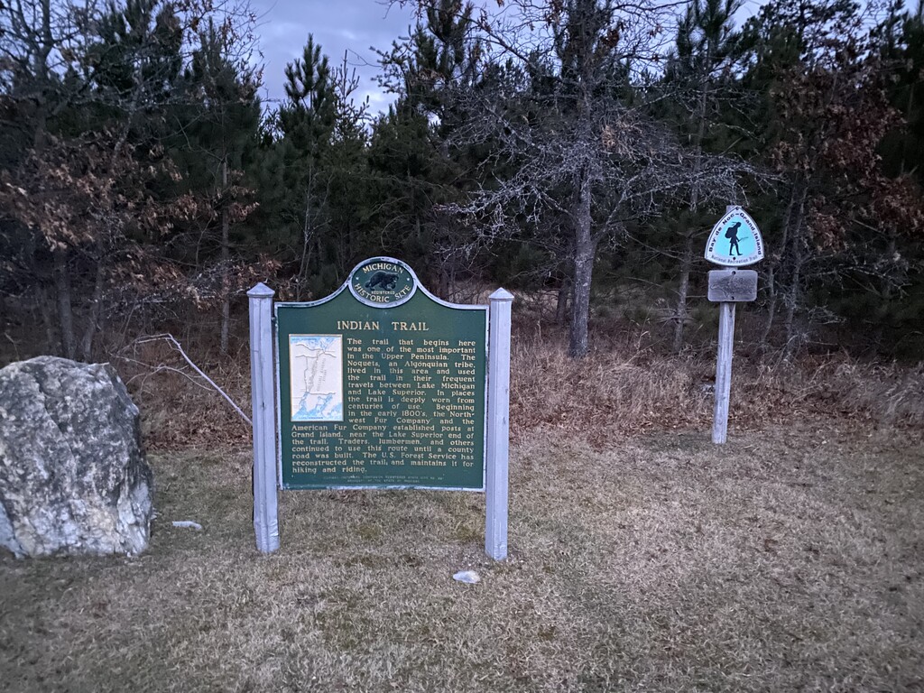
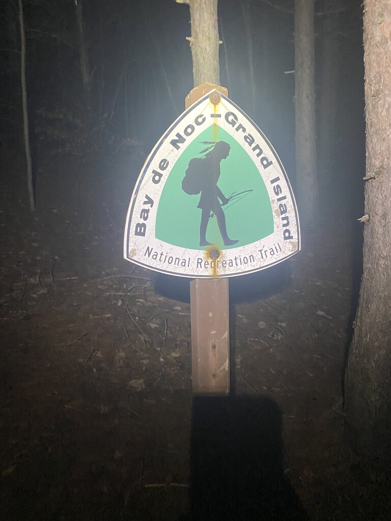
Doing this 40+ miler unsupported, I figure you can either carry a whole lot of water (no fun), filter water en route (time consuming and I’m not proficient), drink it up early and finish light (could backfire), or carry a conservative amount of water 15-20 miles just to drink most of it in the second half (what I did). As I said in my previous run report: the trail itself isn’t that difficult as far as elevation work goes, and it isn’t very hard to follow, but respect the remoteness of the area and have a solid plan (and a backup plan) for hydration. I saw no people the entire day except a truck or two on the road through the woods. There were a handful of deer blinds, but all appeared empty (I intentionally did this in between rifle and black powder seasons, and wore orange anyway). The trail is a bit of a paradox in that if done unsupported, it’s incredibly isolated, but as a supported run it offers ample opportunities for crewing.
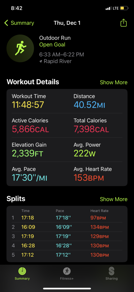
I had set out to take a couple hours off of my FKT time from last December, and came short of that goal. I still maintain it is quite doable on the right day. I’m not in top shape and neither was the trail. I ran the trail with support this summer and it was very clear and easy to follow as I believe it is used by horses semi regularly. Ultimately, after a long day of overly optimistic mental math, I realized I was in real danger of not beating my previous time. Of course, the last two miles have the toughest terrain on the northern half of the trail, and the amount of downed trees in this section was almost comical. As such, I ended up only scraping off a couple minutes….but, I’ll take it.
I recorded on Gaia gps app. I also used Strava on a second phone in my pack as well as my Apple Watch. The Apple Watch I both started and ended early (there’s an easier trailhead in the parking lot that I thought I was at, but I missed it and ran all the way to the road. Strava was running in my pack so I was quite late shutting it off. Gaia is the most accurate time at 11:48:14.
Finally, a tip of the hat to my brother for waiting at the North trailhead with refreshments and a warm ride back to my truck.