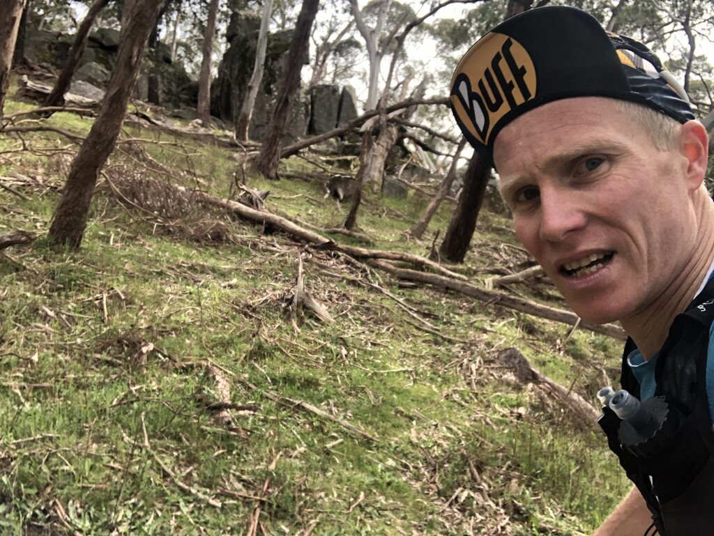
Attempting an FKT on the Goldfields Track had been an idea for some time and on 04 October 2022 I ran it solo and unsupported. I originally planned to run on 07 October, though brought my run forward in order to avoid unfavourable weather conditions.
In preparation, I referred to reports and Strava (etc) activities from previous attempts. In particular, John Robinson’s 2020 attempt was particularly useful and I thank him and the others for plying the way.
In the weeks leading to my planned attempt, I conducted reconnaissance runs on the entire course with the exception of the Ballarat to Mt Buninyong section. The intent of these runs was to obtain familiarity with regard to terrain and, more importantly, confirm water sources.
While I ran unsupported, the non-running support of my partner was invaluable. From taking to me to the start and waiting for me at the finish before dawn, to keeping me well fed afterwards and enabling me to rest, her contribution cannot be understated. Similarly, the moral support from the local ultra-running community provided much encouragement once I announced my intent the day prior.
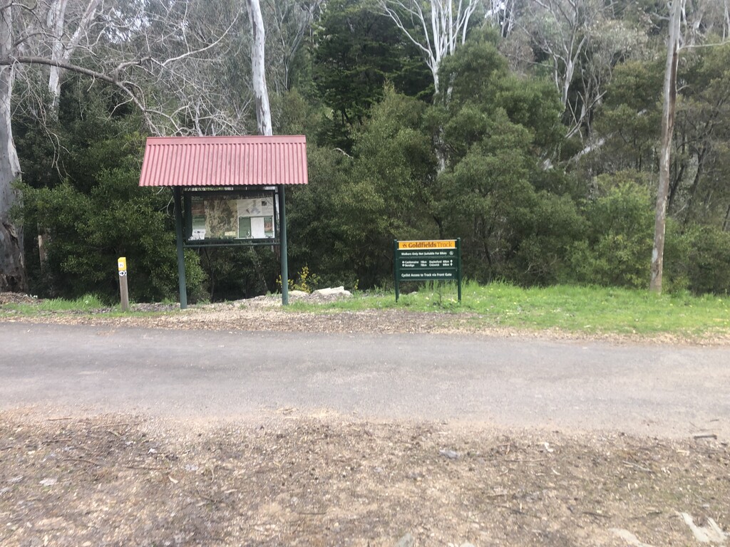
The course logically breaks into five sections per below.
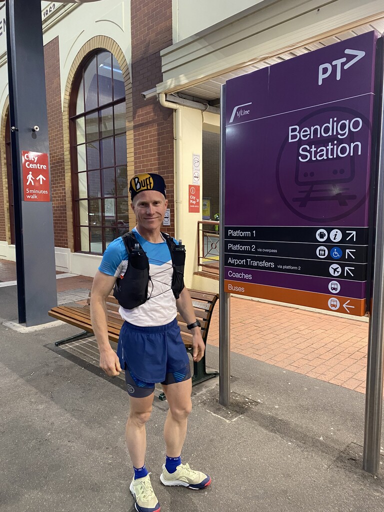
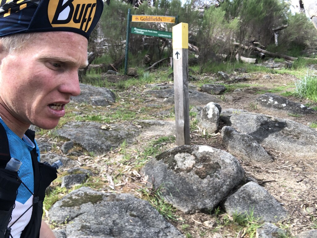
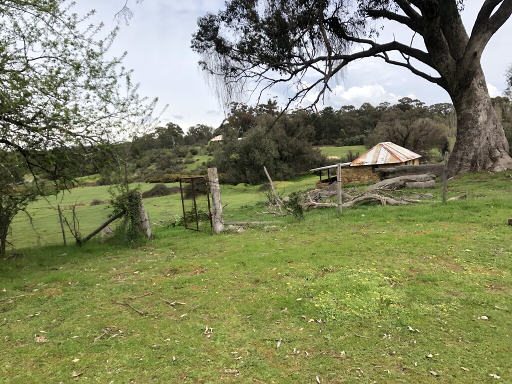
Bendigo to Chewton (56 km)
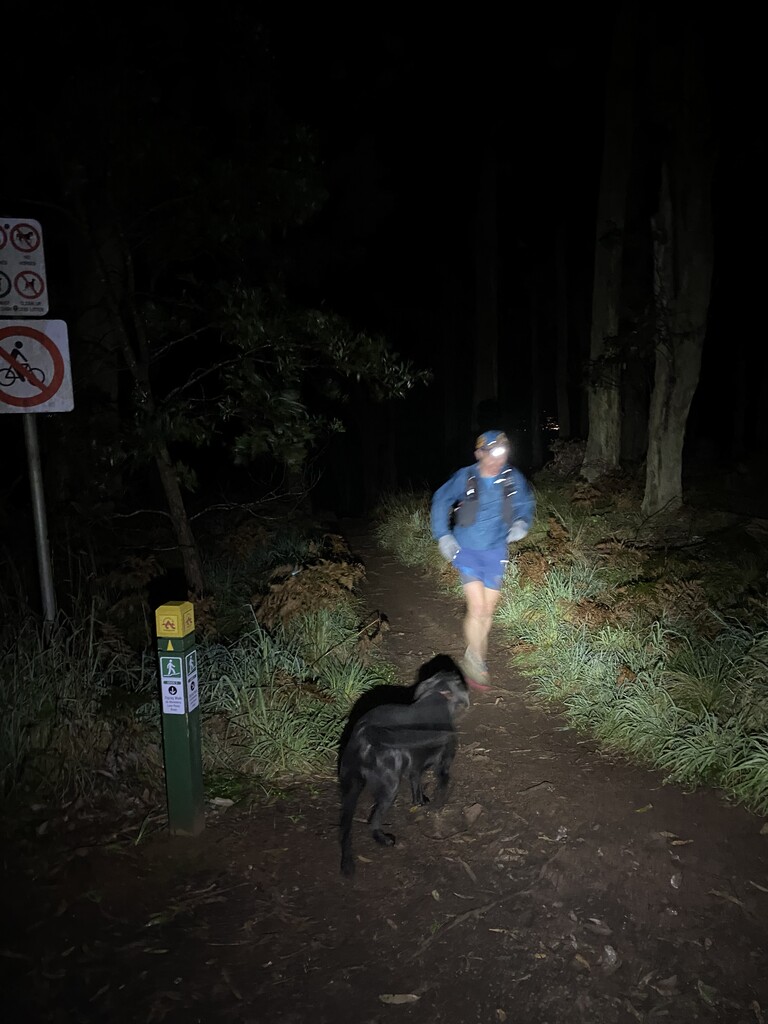
Setting off from Bendigo train station shortly after 0630, conditions were around 12 degrees Celsius, lightly overcast, and dry.
Arriving at the Coliban aquaduct after 12 kilometres, I reminded myself of the need to keep a restrained pace, especially given the extra weight with which I was running.
At around 21 kilometres, I crossed paths with an older chap with a hiking cart/trolley. He asked how far I was going and I told him ‘all the way’. He responded seeking confirmation that I meant Castlemaine, to which I responded ‘Buninyong’. He seemed surprised and wished me luck.
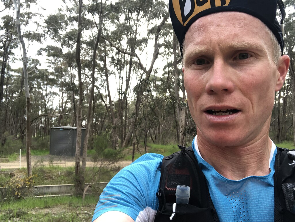
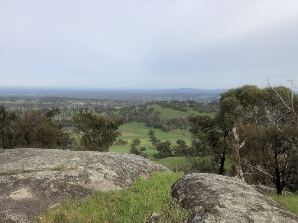
Reaching the base of Mt Alexander after 32 kilometres, I hiked most of the way up and enjoyed the opportunity to take in the spring scenery. I took a similar approach on the traverse and decent of Mt Alexander, though the need to watch footing on the technical terrain did not allow an unfettered appreciation of the surrounds. I refilled water from a stream on the way down.
Off Mt Alexander, my shoes soaked through as I went through a break between paddocks leading. They would remain wet throughout the run, albeit cycling between soaked to damp and back to soaked.
Shortly before passing under the Calder Freeway (at 46 kilometres), a farmer drove past. He asked if I was running a marathon and asked where I was going. I responded ‘Mt Buninyong’ and quipped ‘in 24 hours’. He simply laughed a confused laugh.
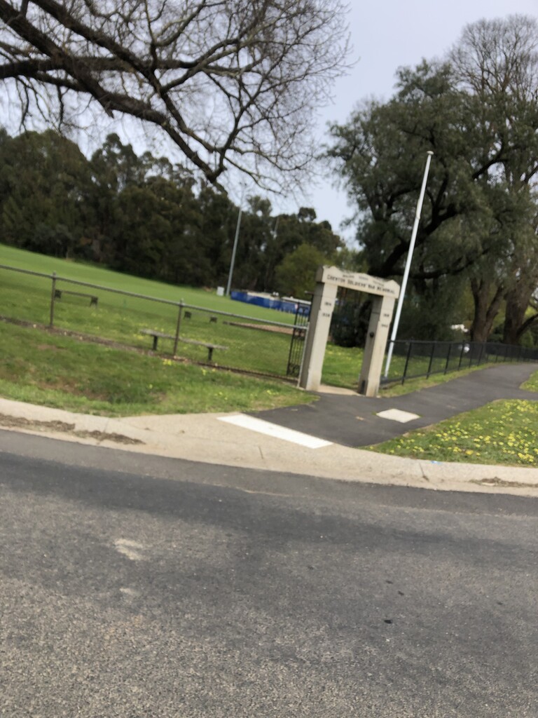
The route into Chewton passed smoothly. The temperature was starting to warm up and I was pleased to refill water at Chewton’s Soldiers Memorial Park.
Chewton to Daylesford (52 km)
Leaving Chewton, I knew I was entering dry sections. The first part between Chewton and Fryerstown is perhaps the driest, however I knew water was available at Fryerstown (at 65 kilometres) and Vaughan Springs (at 71 kilometres). Onwards from the springs, there was ample stagnant water on the ground but no flowing water. I carried two litres out of Fryerstown and did not feel the need to top up at Vaughan Springs, yet still ran dry prior to arriving at flowing water at around 89 kilometres.
Despite this section being particularly dry in terms of water, there was quite a bit of sloppy mud and my shoes continued to remain wet. Approaching Hepburn Springs (at 98 kilometres), I could feel blisters developing (this being a rarity for me).
Passing Hepburn Springs marked the halfway mark. As I began following Sailors Creek southwards, the wind had strengthened and was being channelled down the gully; I could feel it was likely to get cold once the sun set.
Daylesford to Creswick (45 km)
I knew this section would have lots of mud between Daylesford (108 kilometres) and Telegraph Road (116 kilometres) and I was not wrong. While it meant I had ample water to drink, it kept my shoes wet and I could feel my feet were becoming macerated. They were starting to transition from discomfort to mild soreness.
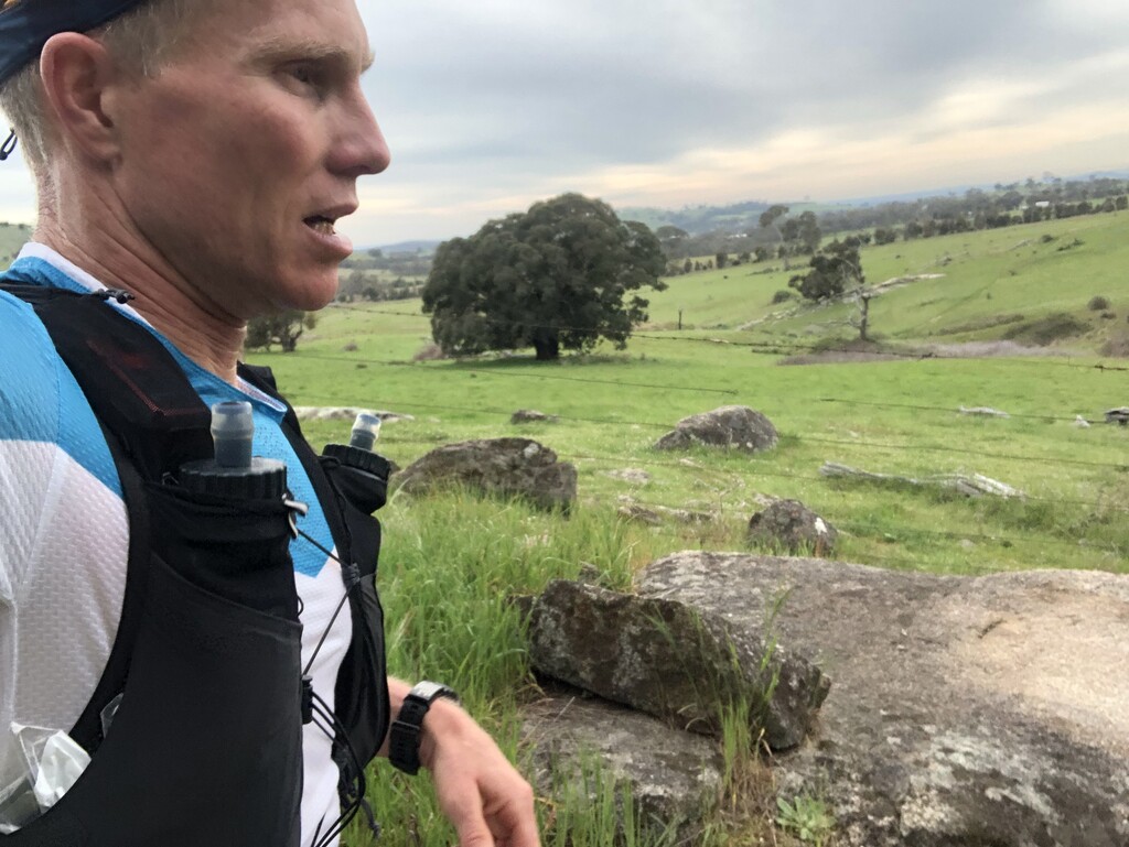
After passing through the halfway point in distance shortly prior to Daylesford, I was looking forward to passing over the elevation highpoint shortly after passing Telegraph Road. While it is not a summit or even an obviously identifiable hilltop, it marks a transition to approximately twenty kilometres of easier running on smooth surfaces. Running between open paddocks between 136 and 146 kilometres, I had the mixed fortune of an intensified, cold, and partial tail wind.
Creswick to Ballarat (19 km)
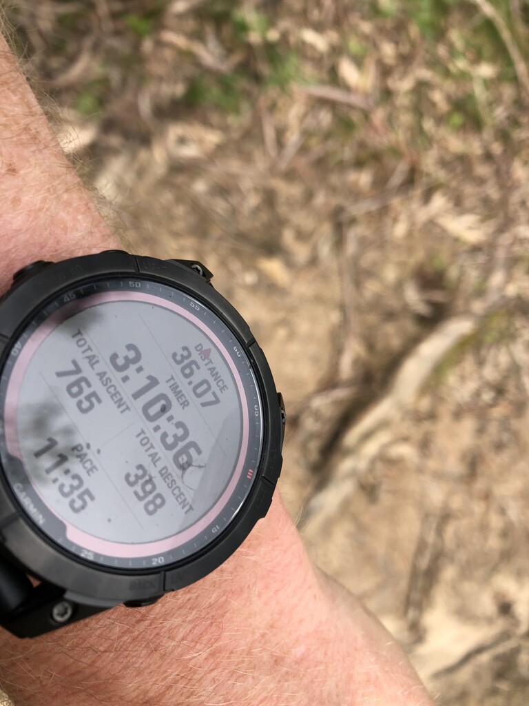
Crossing the bitumen at Creswick (at 154 kilometres), I knew I was close to the home stretch. My watch told me this and so too my feet as their soreness increased.
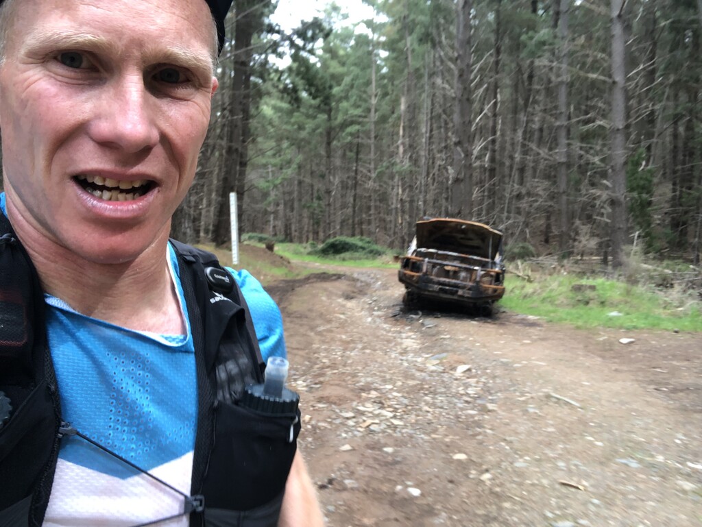
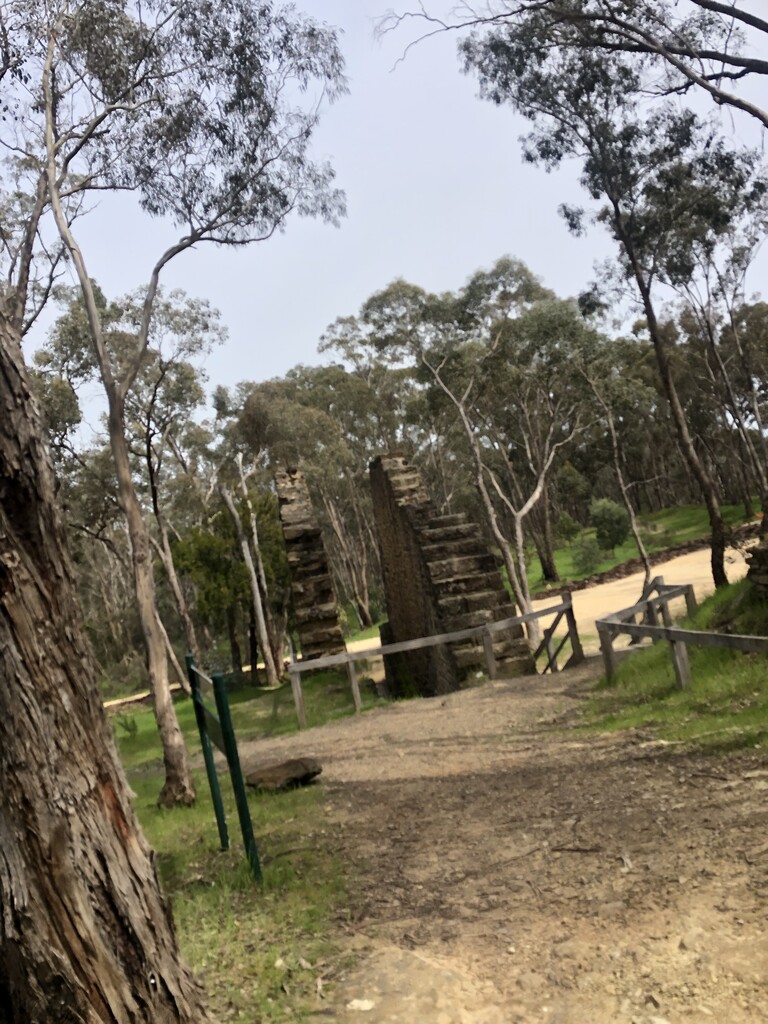
On one of my recce runs, what appeared to be an old forestry tramway was full of mud and running water. I attributed this at that time to recent rain and was a little surprised to see it in much the same state. My shoes soaked through again as often the best line was through the running water. At least the water was good to drink.
Upon seeing the White Swan Reservoir fence line at 165 kilometres, I knew I was closing in on Ballarat and simpler terrain. Passing under the Western Freeway at 171 kilometres, I phoned my partner to let her know how long until I’d get to Mt Buninyong, only to learn she was already there in readiness.
Ballarat to Mt Buninyong (25 km)
I enjoyed the easy 4 kilometres of running along the Yarrawee River into central Ballarat, even if my feet had slowed my pace. This morale boost didn’t last past my water refill in a Ballarat park. The smooth surface along Canadian Creek didn’t need any foot placement focus, though the sameness of each step was not friendly to my macerated feet. This continued once following the bitumen up and through Mount Clear and onto Buninyong. The strong and cold wind was a constant companion and no longer a tailwind, too.
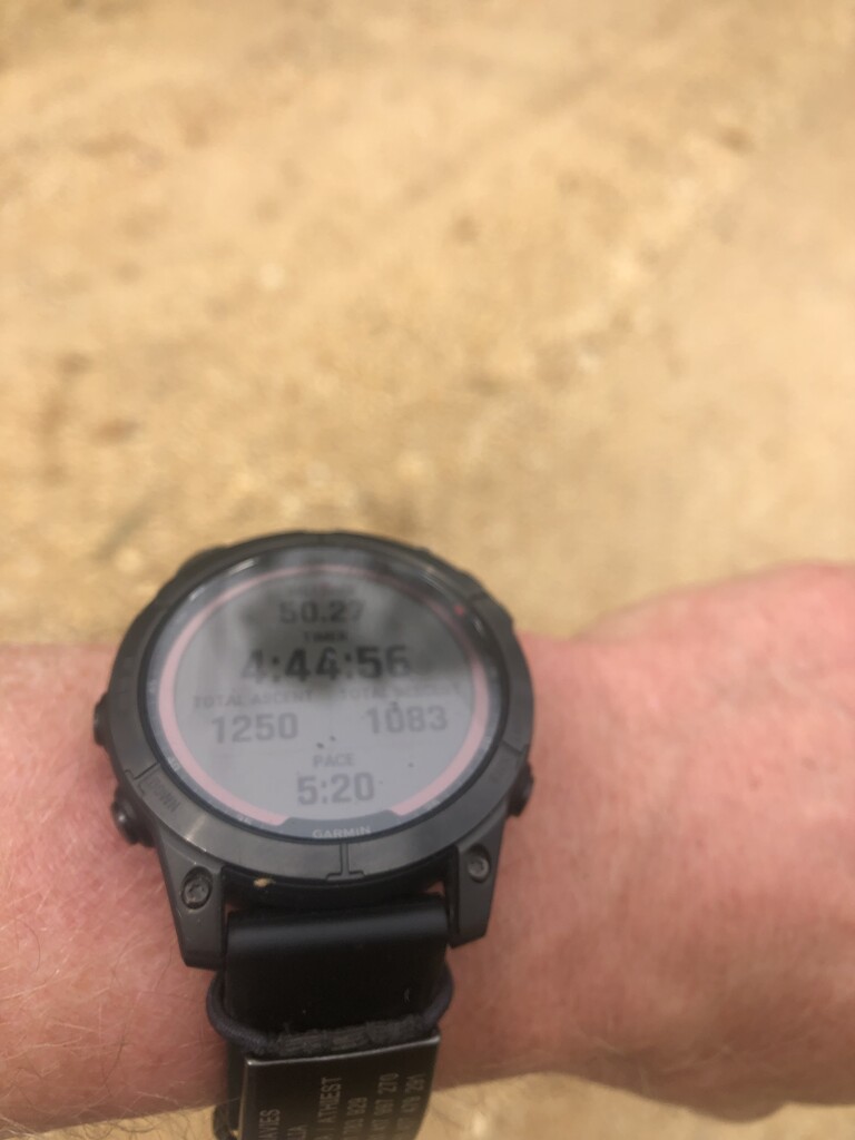
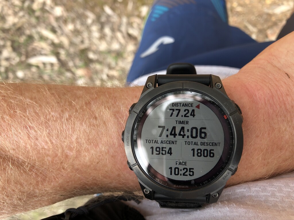
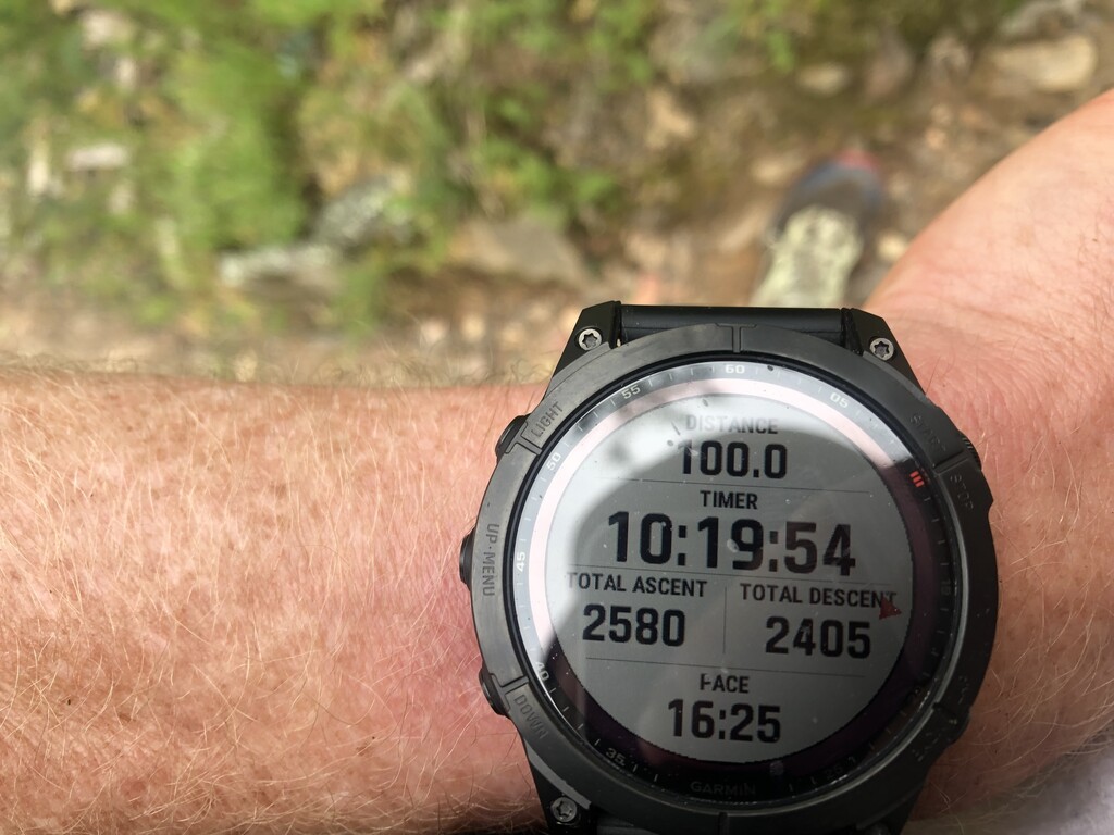
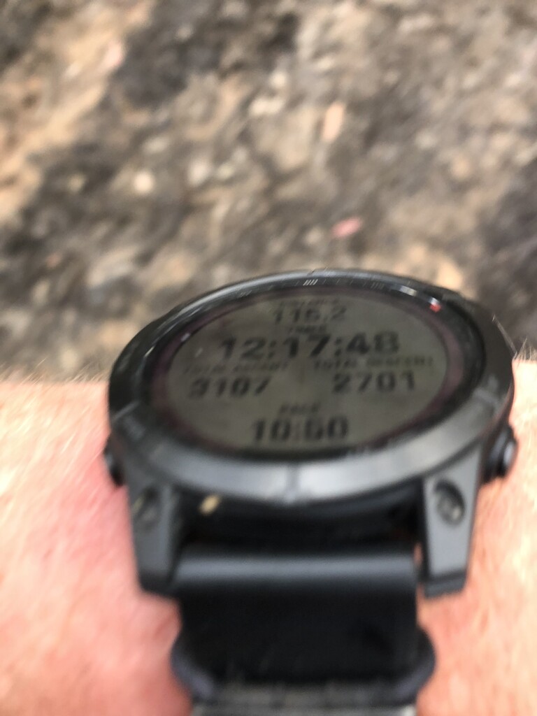
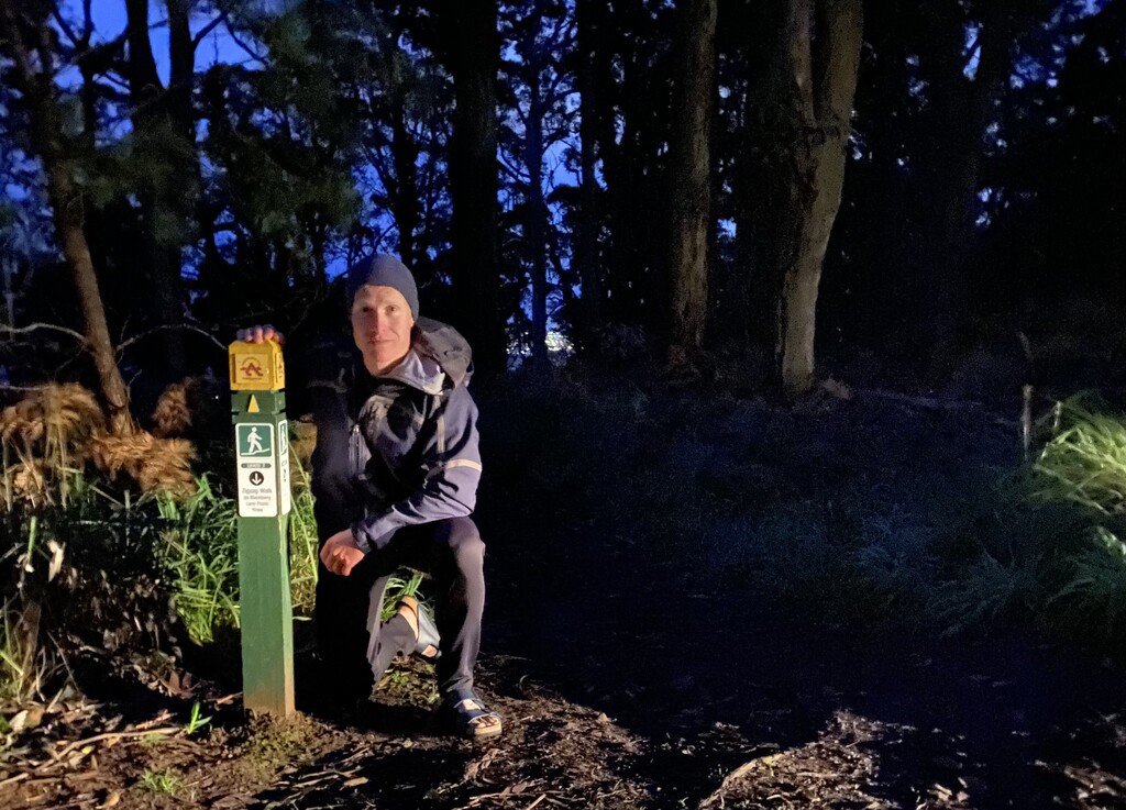
Moving through Buninyong after 190 kilometres and leaving the bitumen, my spirits lifted as the track starting going up towards the finish. Not long after starting the final 500 metres or so to the top of Mt Buninyong, I could see a light moving around and knew I could enjoy the final few minutes. I was pleasantly surprised at how short and gentle the final climb seemed and, reaching the top, I was welcomed by my partner and dog. I was promptly wrapped in a blanket, had my shoes carefully removed, and thoroughly cared for. I had run the route in an elapsed time of 23 hours and 20 minutes.
Post-run thoughts
I achieved my goals of finishing under the standard set by John Robinson in his self-supported effort (06 November 2020) of just over 31.5 hours and finishing under 24 hours and with those I am pleased. I feel that had my feet not become macerated, I could have edged closer to 22 hours, though that’s a hypothetical and one must measure themselves against the conditions they face.
Running unsupported involved carrying everything from start to finish (less water appropriately sourced) and with that I started relatively heavy. I consumed between 150 and 200 calories (approximately 600 to 800 kilojoules) per hour for most of the run, with intake reducing in the last five or so hours. My fuelling consisted of gels, bars, and dissolvable energy drink. My tried and tested nutrition strategy worked well.
I paid particular attention to hydration and hydrated and/or refilled at almost every opportunity. I carried four soft flasks for two litres of fluid capacity, plus a packable cup for quick creekside on-the-go gulps. My hydration plan included use of dissolvable electrolyte tablets, though not in every soft flask. My hydration strategy worked well, though such an approach would be tested in drier conditions when creeks are not in flow.
My feet suffered with unavoidable maceration given the ground conditions (after a wet winter) and creek crossings. Nonetheless, I was pleased with my sock and shoe choice.
Gear used:
Vest - Salomon Sense Pro 5
Hydration - Salomon soft flasks (x4)
Shoes - Nike Terra Kiger 8
Socks - Steigen 1/2 length
Top - Salomon S/Lab Sense short sleeve
Shorts - Joma Olympia, with liner removed
Under shorts - Skins DNAmic half tight
Jacket - Patagonia Houdini
Cap - Buff Pack Lite
Sunglasses - Oakley RadarLock Path Prism
Arm warmers - Salomon
Gloves - Nike Pro Baselayer
Watch - Garmin Fēnix 7 Sapphire Solar
Headtorch - Petzl Nao+
Comms - iPhone
Tracker - Garmin InReach Mini 2
Gear carried but not used:
Thermal top - Patagonia Capilene Lightweight
Emergency and medical - Emergency blanket, compression bandage, ibuprofen (x6), antihistamine
Power - Spare headtorch battery, 2600 mAh battery, short phone charging cable