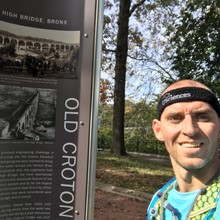
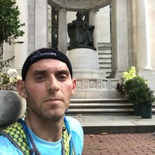
There are a few slight deviations within the route, as the maps have both a solid red line/yellow thick line (which follows the actual old croton aqueduct) and the dotted red line (which is an alternative walking route). The route can most accurately be found in the 2 maps that the Friends of the Aqueduct sell https://aqueduct.org/maps-and-access
It is a beautiful trail that is extremely well maintained, although the southern section will have you running through the streets of the Bronx, Harlem, and actual Manhattan.
I worked with the director of the Friends of Old Croton Aqueduct map division to confirm my route, as well as using their own maps. The main ending point is entering Bryant park off of 42nd street.
I walked around Bryant Park and did not stop my watch right away. The Strava (which I was recording as well) shows me stopping that once I entered Bryant Park.
Athletes
Route variation
Standard route
Gender category
Male
Style
Unsupported
Finish date
Total time
6h
58m
29s
Verification
GPS track(s)
Report


