Found this route by accident when looking at the longer GR131 across Lanzarote. Staying in Orzola on Lanzarote for two nights, my plan was to take a morning ferry over to La Graciosa to make an attempt on this route. On arrival in Orzola I found that the ferry crossing was closed due to strong winds, so initially wasn't sure that is get the opportunity.
Thankfully on Sunday morning the ferry was running, so i took the 10am crossing. The sea was very choppy, and the ferry was very active as it navigated around the rocky cliffs of northern Lanzarote before a smooth journey south west to the port town of Caleta del Sobo on La Graciosa.
Once on land I spent a few minutes warming up my legs and my mind for the challenge ahead. The weather was overcast, warm and comfortable despite the constant head wind from the north that's felt all over the Canaries. After fiddling with the tongue on my right shoe that wasn't sitting well, I loaded the route on my watch and set off.
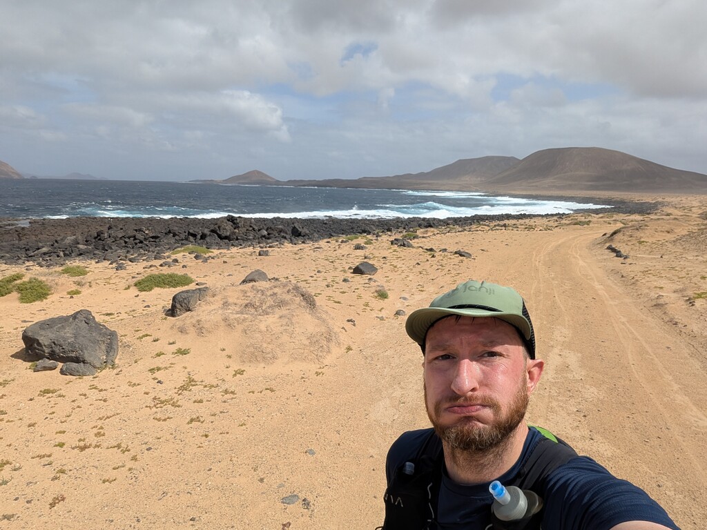
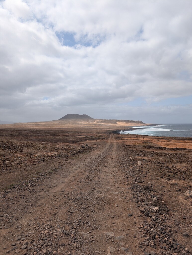
Leaving town on compacted sandy roads, with some awkward navigation at times around buildings, the route soon opened up with excellent views across to the volcanic cones dotted around the island and the rugged coastline ahead. Made all the better when the route left the dirt road and took a footpath closer to the coast.
Really good running and easy to keep a good pace for the start, but soon a tough section of cliffs with light scrambling on sharp rocks took some of that banked time back. Once free of the cliffs it was easy to recover the average pace, especially when joined back up with a dirt road.
The route continued on dirt road along the northern edge of the island and all the way south on the west coast. Passing golden sand beaches with sweeping views over the island with crashing waves on the rocky sections of coastline. Average pace was close to 9 minutes per mile with a gentle tailwind. My overall target was 10/mi average pace so I was pushing harder than planned but I felt good and knew there was a long climb towards the south of the island.
I'm really glad I banked time while the going was good. From the south west tip the route then heads up to a pass below a large volcano, but as far as I could see it was completely pathless. Difficult footing with soft spongy ground and sharp rocks. Average pace took a beating here. Once at the top of the pass, a faint trod appeared which was worn enough to pickup speed.
The descent towards the east coast with the port town in sight was a joy, but once off the hill the route goes through a tough patch of sand dunes which was really hard work. Once at the coast, the route then contours around the beaches which was again tough but in a more consistent way than the dunes so although the pace wasn't great it was consistent moving.
Legs really feeling it now, thirsty as was now out of water, heart rate up, energy levels dipped, but goal in sight and on the home stretch. Out of the dunes, back on dirt track into the town, onto the small beach by the port and to the finish where I had began 2 hours 33 minutes 49 seconds earlier.
Comments
Congrats Paul, you're my hero!