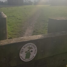
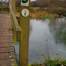
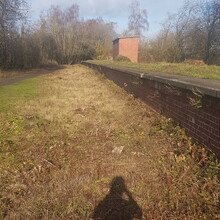
After parking in the nearby housing estate I started the run as indicated in the original GPX file. The Watercress Way is generally well marked, with most the trail arrows looking like they've been more recently added compared to other well established local routes, so it overall easy to follow the markers. The main issues come where the trail goes through the various housing estates, or along sections of main road so markers aren't as often or as easily spotted, but they are there! The last mile back through the church yard, and Alsfred Station carpark caused a few U turns, but nothing that took up much time.
Overall the route has some lovely sections that criss-cross over the River Itchen, includes a visit to an old railway line platform (see picture), and has a good mixture of terrain and path types. The route however does have quite a lot of road sections that at times are on busier ones so staying alert is vital.
I ran solo, carried all my own water and food, and had only my music for company whilst exploring new areas. Fab!

