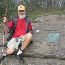
Please see the blog at pjwetzel.com and the Trail Journals link for daily reports with abundant photos. https://www.pjwetzel.com/2012/
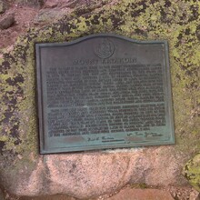
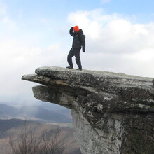
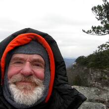
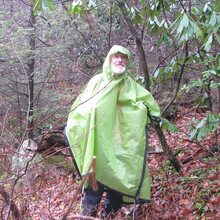
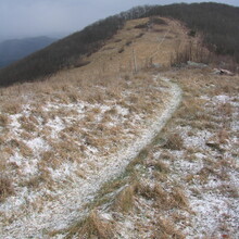
GPS tracks are entirely complete except for a single day, January 9th, during which I somehow turned the recording capability off. For that day the Geo-located photos are provided. A few other random photos of interest also included in this submission.
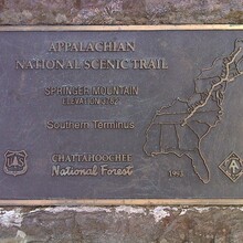
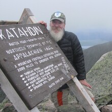
What I did: It is called a yo-yo. I hiked the entire AT both ways within a single calendar year. In my case it was done by means of individual daily out-and-back hikes. In other words, each day I started at a trailhead and hiked a section both ways, then moved to the next adjacent section and did the same until I had finished the entire trail, scrupulously passing every white blaze twice.
I supported myself with a vehicle, driving from one trailhead to the next to launch each day's out-and-back section. I did not hike any more than a few hours with any one person, though I met a great many people more than once, sometimes months apart.

