
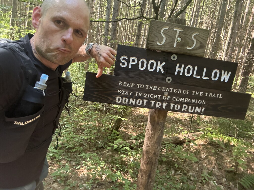
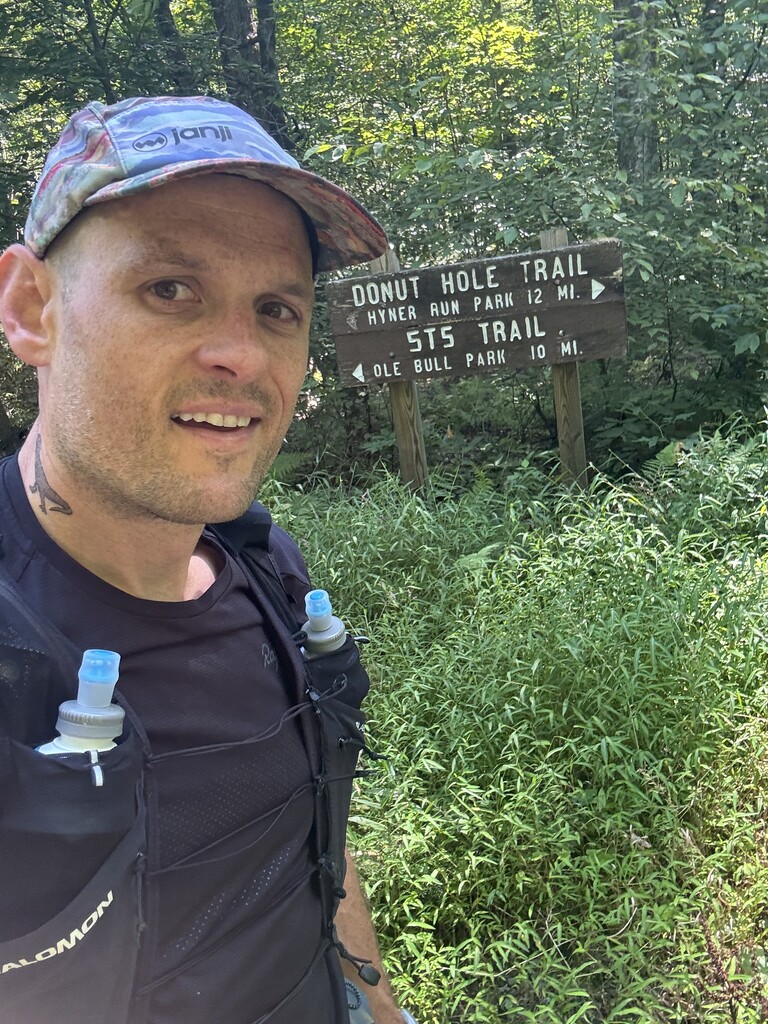


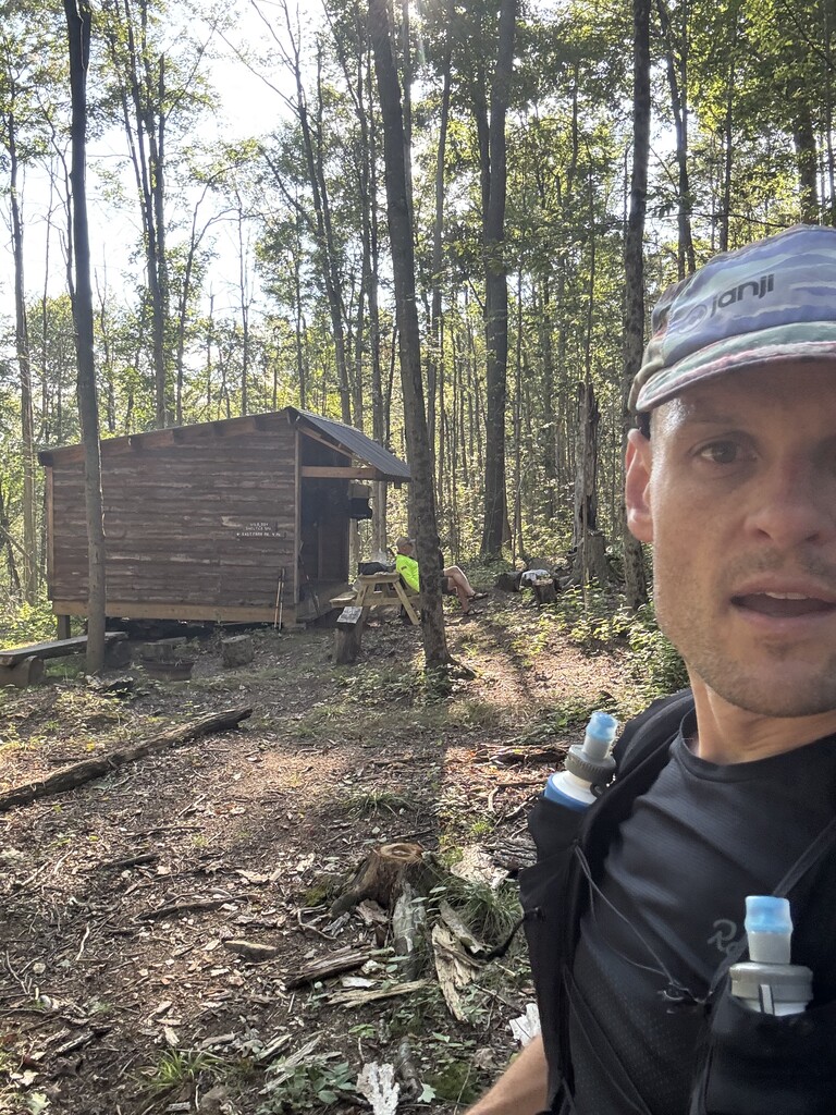
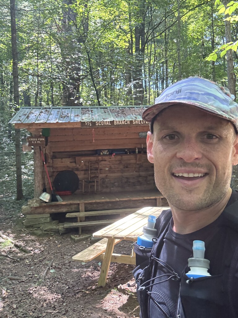
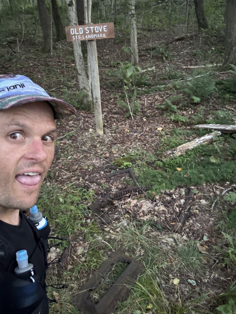
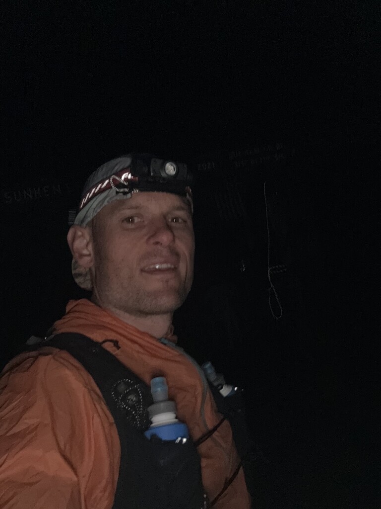
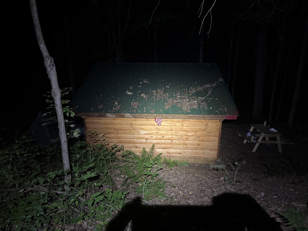

During the effort, good times flew by and the rough patches dragged on forever. In hindsight the memories appear as snapshots in time, vignettes separated by blank spaces.
One moment I’m back on my heels, stopping as quickly as I can to avoid stepping on a rattlesnake. Then I’m pushing up a climb and finding it difficult to eat. In the next image I’m curled up in a ball on the ground, trying to convince myself to eat a tiny bite of a bagel. Then I’m back, feeling good, running down an amazing descent by headlamp.
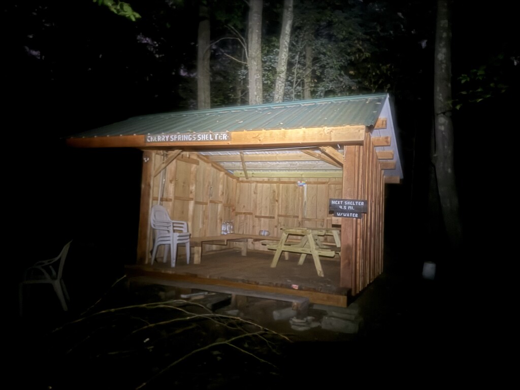
The Susquehannock Trail System is a loop for people that like walking in the woods. There are no summits, few vistas, and not much in the way of waterfalls or rivers. It navigates land that was heavily logged (with axes!) over a century ago and has regrown into mature forests thriving with wildlife. Deer, elk, bear, porcupines, hawks, owls, trout, rattlesnakes, and turkeys are likely to be seen if you move around the trails quietly and at the right times of the day and the year. The forest itself is massive and varied, sometimes close and thick, sometimes opening into expansive cathedral-like canopy with soft, tight green carpet. The trails are often climbing or descending, but rarely that steep. Well-constructed and well-maintained shelters abound, so it's not unreasonable to thru-hike without carrying a tent. A decent number of the shelters and campsites were occupied as I passed, which was good to see on this beautiful late-summer weekend.
Most people either section-hike the loop, or take a week to meander its plateaus and valleys. I first experienced the trail as a two-night fastpacking trip in April of this year, and it is a great loop for moving quickly. The trail is very well-blazed and usually quite runnable, water is available frequently enough to keep the pack light, and the distance is just within reach for a fast backpacker in a weekend. I learned the trails on that trip, and took frequent breaks to jot down notes about water sources, trail steepness, annoying brush (pants are a good idea, unless you find nettle stings invigorating), and anything else that I thought might be useful in planning this attempt.
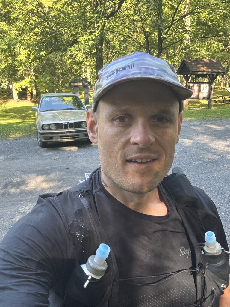
I threw myself into the woods with no plan B. Having slept at home the night before and driven the two and a half hours across PA Route 6 that morning, I started at Ole Bull State Park, literally parking my car on the trail (which runs right through the parking lot) At 9:52 am on Saturday Aug 29, I jogged across the road and started hiking up the first climb. The only concessions to possible misfortune were an emergency blanket, a lighter, an InReach, a homemade windbreaker, and entirely too much food. Oh, plus a T-Rex temporary tattoo on my neck, and a small Jolly Roger pinned to my running vest. Just in case. This was my first attempt at moving through the night, but I hoped a stash of caffeine gels and a pair of earbuds to blast high-octane tunes would be enough to get me through that part of it. I love night-hiking, but tend to get to bed by 9pm, so dawn felt like a very long time away. For the first 23 miles to the small town of Cross Fork I cruised, enjoying the day and moving well, stuffing as much food as I could into my face. The only excitement up to that point was the rattlesnake, who seemed quite unperturbed by the runner that had come barreling down the trail and then hauled up about twenty feet away from it. We eyed each other for a minute, he held his ground, and I surrendered to the nettles, giving him a wide berth. We parted amicably.
Temps rose into the mid 70's, which slowed me down slightly only because I needed to refill my filter bottles more often, and carry them fuller than I would have liked. After Cross Fork I had 60 miles of wilderness left - no towns, few road crossings, and almost no cell service. Hammersley is a beautiful Wild Area but the gentle climb does go on for a very, very long time. It is also quite brushy. Fortunately, the legs were doing their thing and I ran most of the way up. Just as the brush was getting thick enough to make running difficult, I passed a camp of what must have been trail workers, as the trail immediately turned into a six-foot wide clear-cut swath through the undergrowth! My pace picked back up and before long I was at mile 40, on the hardest climb of the route, an interminable combination of logging grades and brushy, washed-out drainage. It was at this point that I lost all interest in eating. My stomach threatened to do unseemly things if I had another bite. Uh-oh. At the top of the climb I laid down for a moment, chewed a bite... and then gave up and spit it out. Move now, eat later.
This section of the trail, from where it crosses the East Fork of the Sinnemahoning until Patterson State Park, is the hardest terrain. It's all up or down, water is less abundant than you might want, and I deteriorated quickly without food. My InReach had given me an error about uploading location, and I knew there was a spot with cell service in this area, so I took the opportunity to call my wife and let her know I was ok. Cell service disappeared and then so did my water. I assumed there would be a spigot at Patterson - there was not. It was now about 10pm, and I tried to operate the hand-pump well, but it clanked loudly and someone in a nearby tent stirred and complained. "Sorry," I said, and left, thirsty. A couple miles later I reached a stream, laid down, and immediately fell asleep. Ten minutes later I was awake, chilly but not really cold. I'd eaten only a single gel and one bar in the last four hours, which was clearly unsustainable, so I forced another gel down and started walking again. It took me almost three hours to trudge the 8.5 miles up to the high point of the trail and across the plateau. I got another caffeine gel down. And then a bar. And then, amazingly, I was running! And running fast. I did 4.5 miles in only 45 minutes. Sub 20 suddenly looked possible again! As soon as I stopped running to hike up the next climb, I was on the ground again. This cycle repeated for most of the night, with two more dirt naps I did not plan on taking, and only discovered by looking at my data later that they were 8 minutes and 10 minutes, respectively. Eventually, I decided that running inevitably led to bonking and laying down, so I resolved to keep hiking. Spirits improved. I chased a porcupine off the trail, splashed through the only mandatory wet crossing on the route, and turned off my headlamp as the sun rose.
Heading up the final climb of the trip, I was resigned to a 23+ hour finish. But I found a little pace up the climb, breaking into a jog when the grade relented. I switched to some brash, aggressive rap songs and I was somehow able to pull it down under 9min/mi pace across the top and down into the park to the car, where I was regarded very suspiciously by a couple trout fishing off the dam in the campground. The incredibly kind forest ranger let me use the office phone to call my wife. Then I laid down in the grass and took a nap.
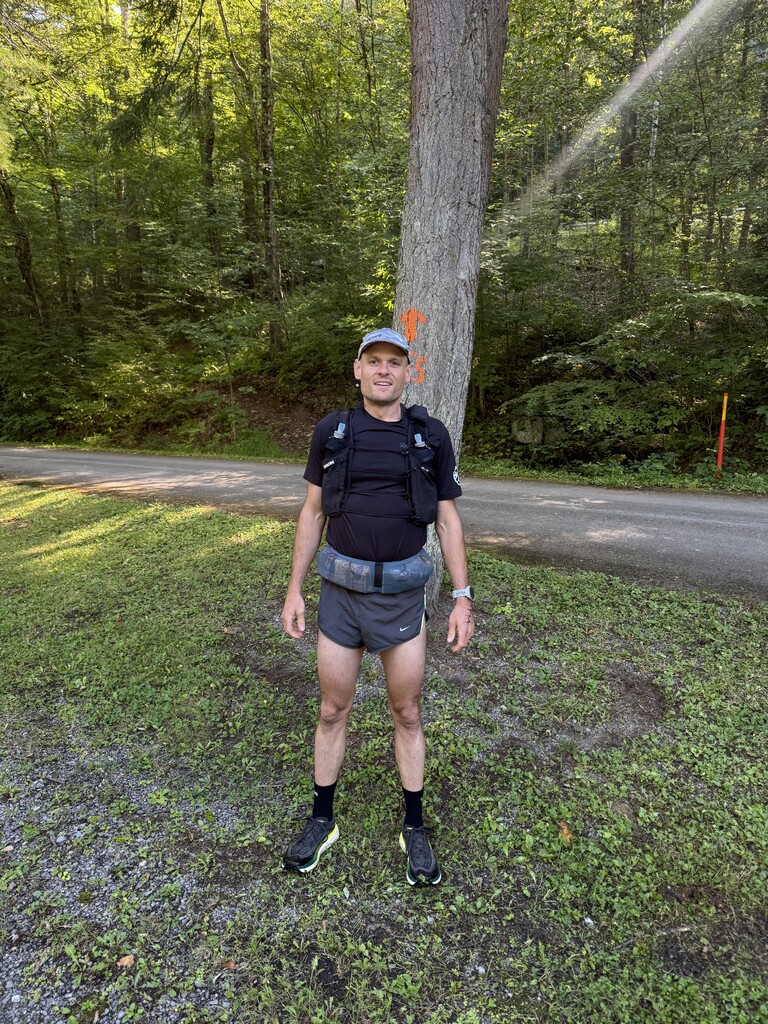
Details: I was unsupported, carrying all my food and gear the entire way, and only collected water from streams along the route. Elapsed time taken touching my car was 21:54:48. The STS is (as named) a trail system, continuously blazed but combining many previously established trails to make a continuous loop. It passes through areas of actively-managed forest, and gets the occasional minor re-route due to flood damage, trail improvements, or logging activity. I followed the official route that was on the Far Out guide during my attempt, which aligned precisely with the route I took in April, and of course the blazes matched up. The Susquehannock Trail Club does a wonderful job aligning the interests of the DCNR and the recreational users, and I would like to thank them for their efforts.