
Checking out the FKT routes near Tucson led me to this route linking up many of the Catalina State Park Trails. While I run there regularly, I’d never been out as far north as this route takes you.
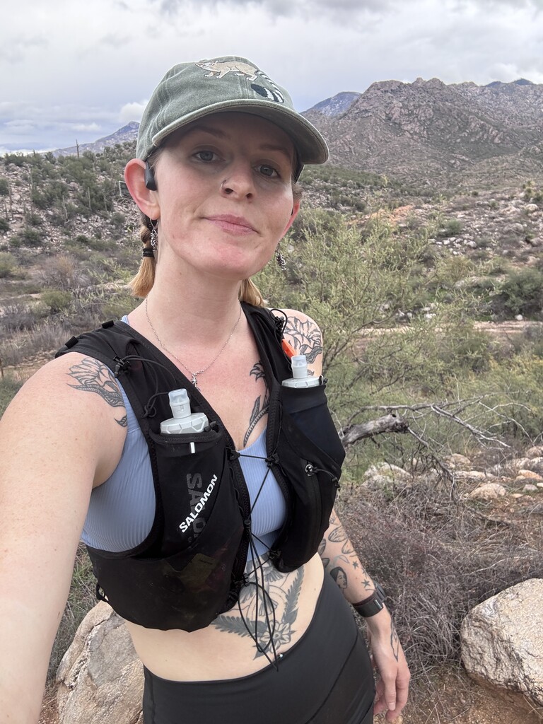
This morning I changed my long run plans on my way out the door— it was a beautiful rainy morning, overcast and drizzling, and I love Catalina in the rain. A perfect day to try out a new route. I got to the park at around 8:30 and started my run from the roundabout just past the trailhead parking lot, as I saw that Marcy’s gps track had started and finished there. I decided to run the route exactly as Marcy had for ease of gps navigation, and I’m glad I did because there were a couple confusing spots later in the run where I needed that map. I ran the route alone and carried all the water and food I needed.
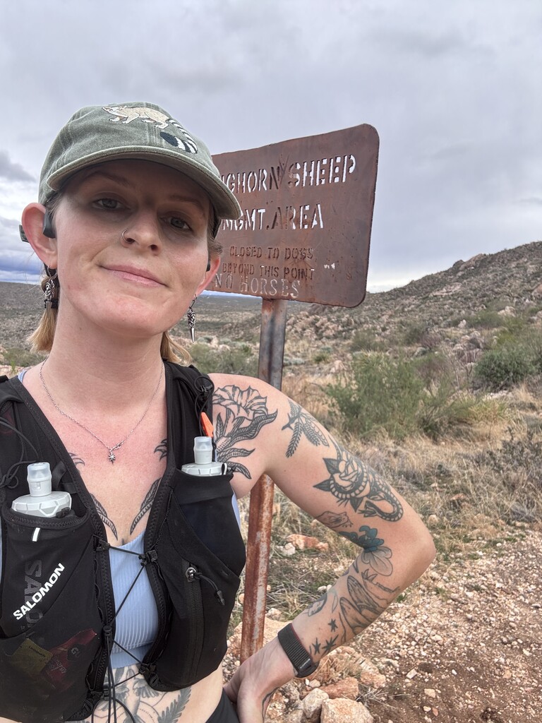
The first five miles were familiar territory, but following the gps meant running trails backwards from my usual habitual runs around the park. I found the nature trail views were better counterclockwise. Next was an out and back stretch on the canyon loop, very busy with families on a holiday weekend. I turned around at the Sutherland intersection. Then the birding loop clockwise, where I fear I disrupted a bird photographer’s bird photography. Then up the very steep dirt slope towards Romero Pools. I had made note from the gps track that I needed to go .6 miles up the Romero Pools trail from the canyon loop intersection to hit the park boundary, as Marcy mentioned the wilderness boundary sign was gone. I’m not sure if it was a different sign, but at .6 I ran into this metal bighorn sheep sign (pictured) and made that my turnaround point.
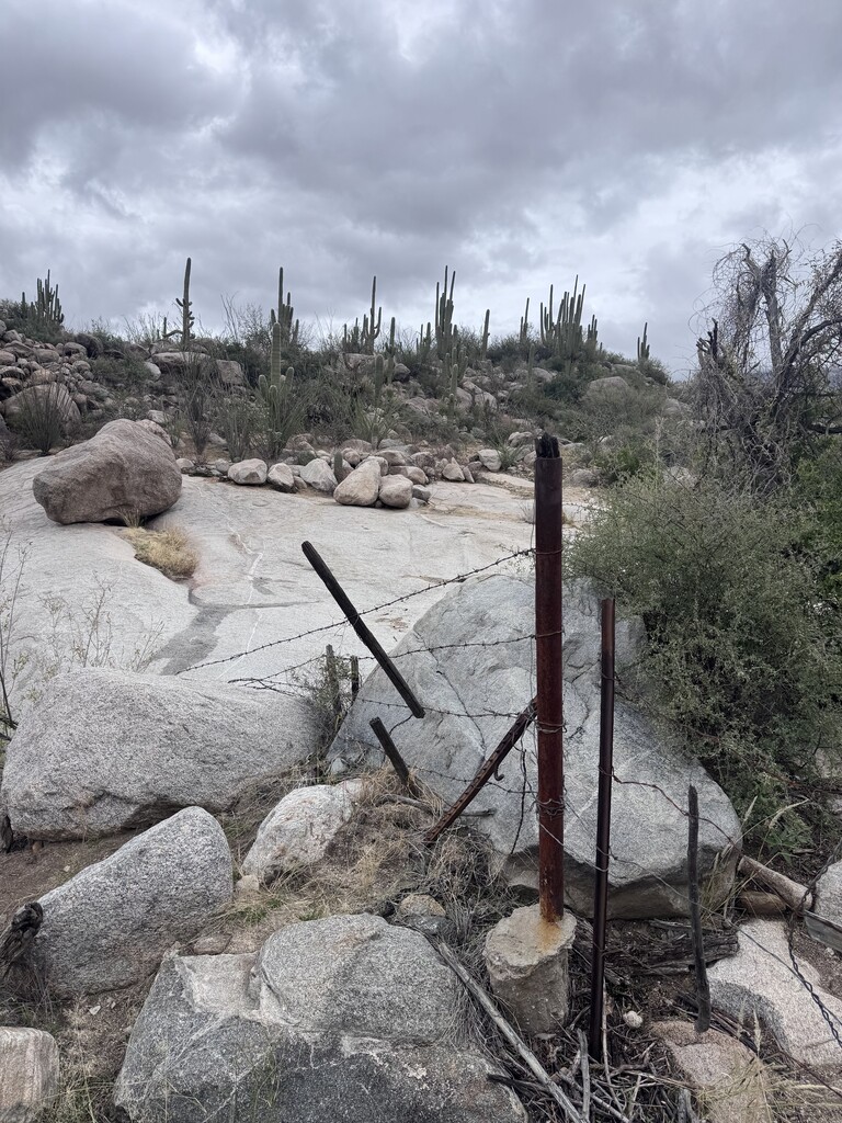
From there, I finished the canyon loop and turned right up the Sutherland trail for a steady but not too steep climb. I rounded a corner into a javelina and we both jumped. I looked around for her family, but I guess she was alone. This section of trail was very quiet and peaceful compared to the inner loops of the park. My first navigation challenge was at the park boundary, where I mistook a silly looking gate (pictured) for a fence and tried to find a trail on the inside of the fence rather than passing through the gate and crossing the wash— this was new trail to me and it took me a few minutes to realize where I needed to go.
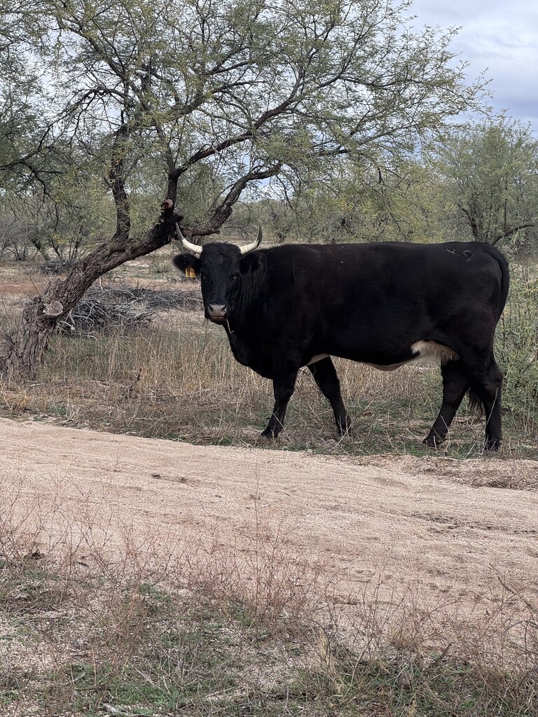
Now through the gate and out of the park, I headed into my least favorite stretch of this run. The trail link road was pretty unpleasant to run— large loose rocks at a steady decline. I eventually found the singletrack option to the north of the road and used that. It was winding and rocky and probably a little longer, but it was slightly better. Then I made it to some dirt roads full of cows and carefully crept past them towards the 50 year trail. This section must be near a shooting range or something because the sound of gunshots was nonstop for miles. Climbing the 50 year trail before it turns to singletrack, it put me on edge how close they sounded. I’d say that the stretch from the weird gate exiting the park to the intersection with CDO Ridge (about 4 miles) was not a stretch I’d return to on my regular runs (between the shooting and the terrain and the very large cows).
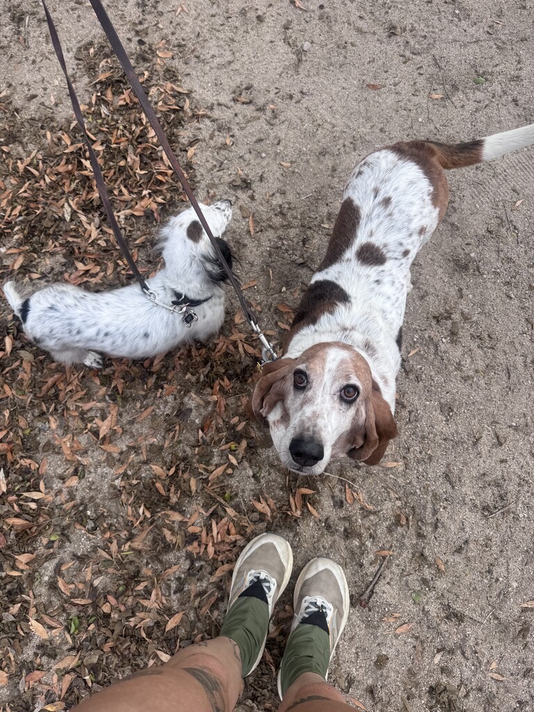
Once I reached the CDO intersection and headed downhill towards Bridle, I was back on familiar trails. The sun was starting to shine, I was back in the bounds of the park, and my loop was almost complete. I took a quick peek at the horses by turning right on bridle, then back all the way to the roundabout. Bridle is really nice running, I was able to finish at a nice steady pace on the smooth wide trail which felt great after all the descent. I ended my run where I started, at the roundabout. After that I stuck around to meet some of the dogs at the parking lot before heading back to town.
I’m glad I followed the gps as is, to stay on track and make sure I did the route correctly, but if I ever try to beat my time I think I’d switch up the directions on some of the trails. A lot of the climbs were on easier stretches of trails and the descents on rockier stretches, and I’d be interested to try out ascending the more technical trails and giving myself smoother descents. Still, it was a beautiful morning and I am feeling inspired to use FKT to try out other folks’ routes in the area!