This was the Wildest Ride of My Life!
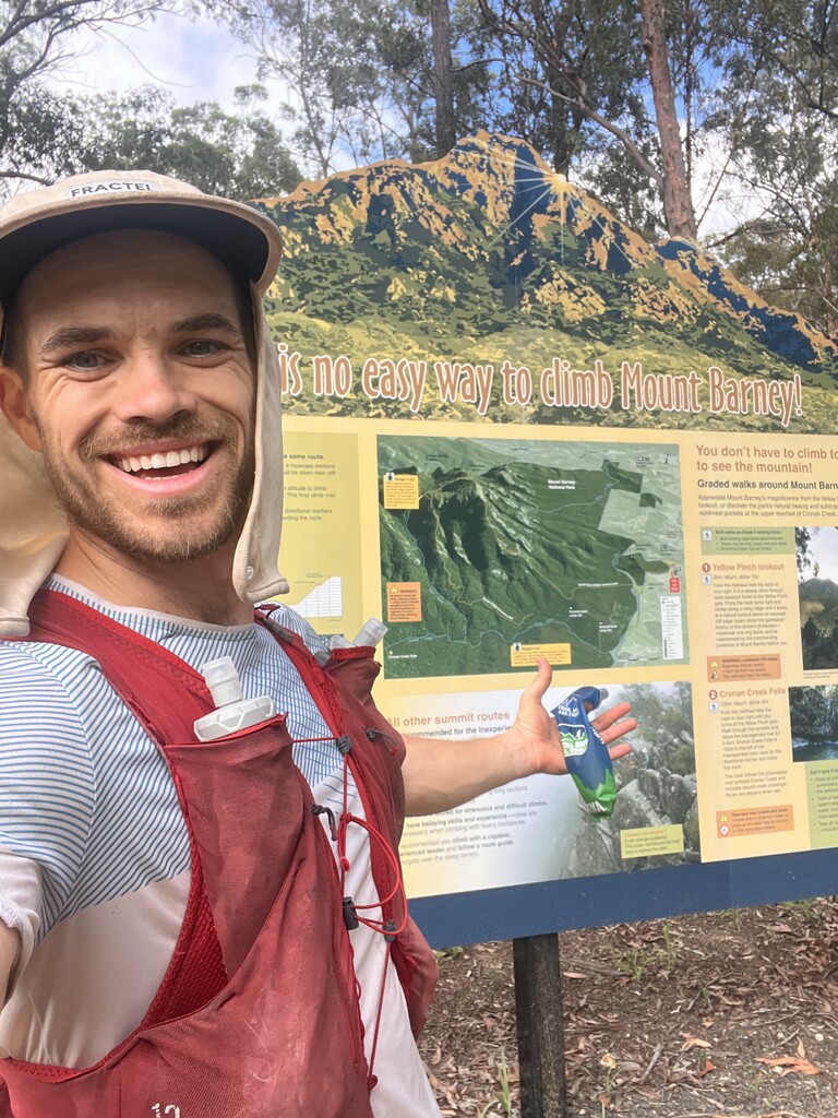
After living and training for two years in the scenic rim the giant horse shoe sized volcano had been staring me down long enough.
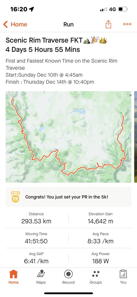
I Started doing research into the scenic rim traverse and others who had attempted it I had found a list of completions with the fastest being a 4 day completion from Coolangatta to cunnginham gap route.
what I was not able to find was a recording of the Topographical completion of the “actual” rim as seen from the Birds Eye view of the map shown above.
So I decided to create and attempt the first “recorded” traverse of the Scenic Rim starting at Thornton view (the beginning of the new scenic rim trail) and finishing all the way on the other side of the rim which topographically is mount Tamborine.
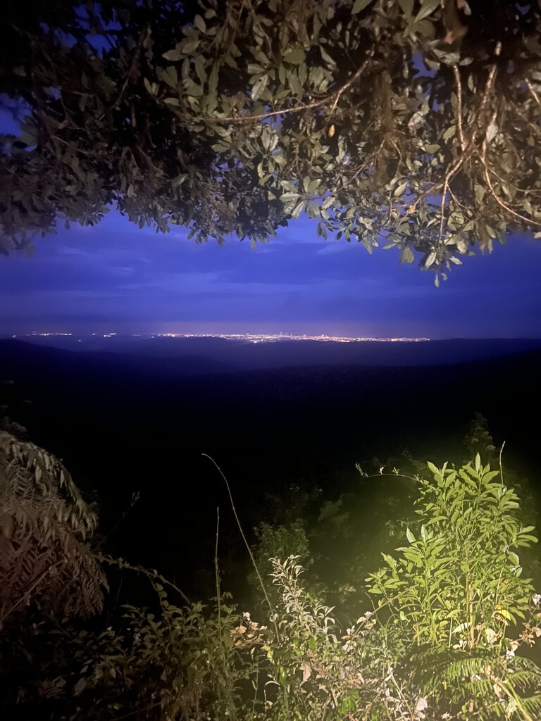
I decided to have it finish at the iconic hang glider Lookout which held a strong spot in my heart with my family and girls for beautiful sunsets. It also allows you to finish the run with a breathtaking view of the entire scenic rim and where your body has just taken you. I can tell you for certain there were tears at the finish looking across in amazement and appreciation for the monster of a task my body had just allowed me to complete.
so let’s get to the FKT shall we…
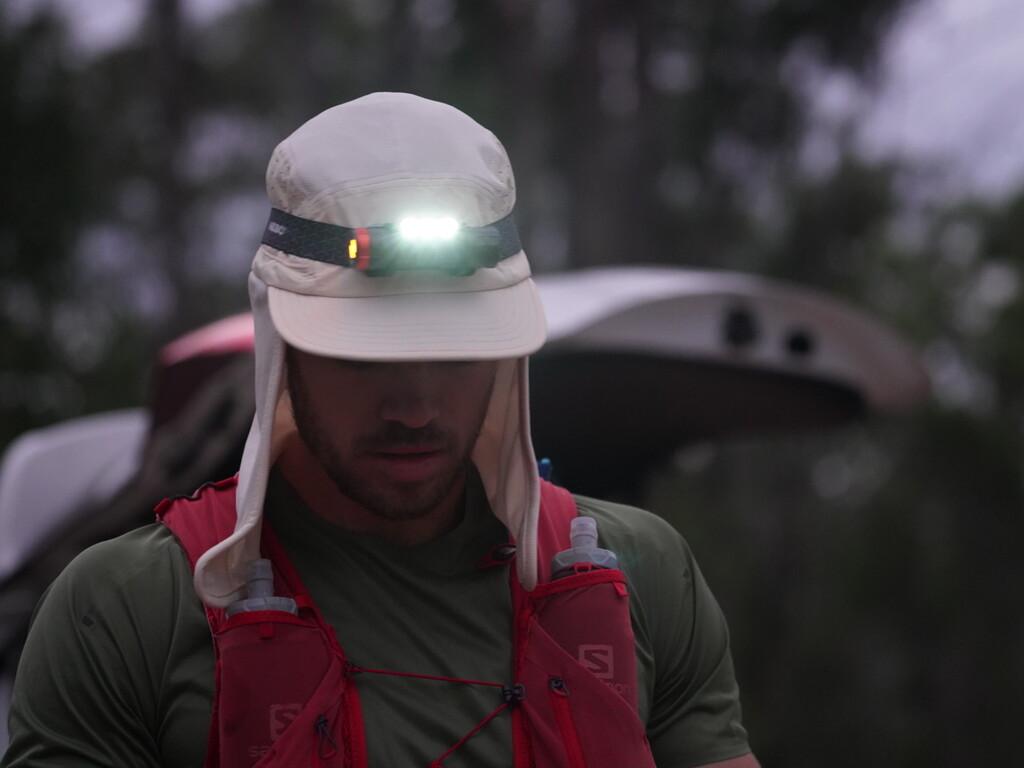
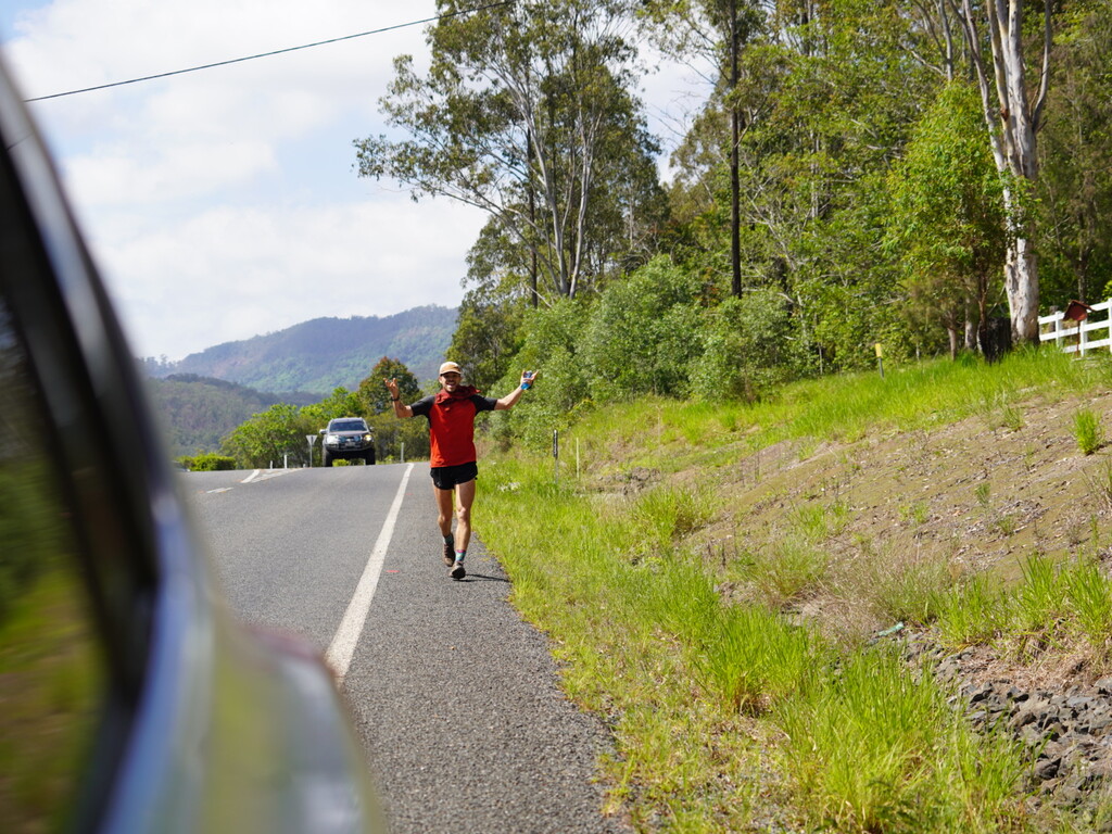
Sunday December 10th at 4:45am marked the start of this adventure. I’m hindsight I believe a night time start would have been a much better decision. You’ll find out why shortly.
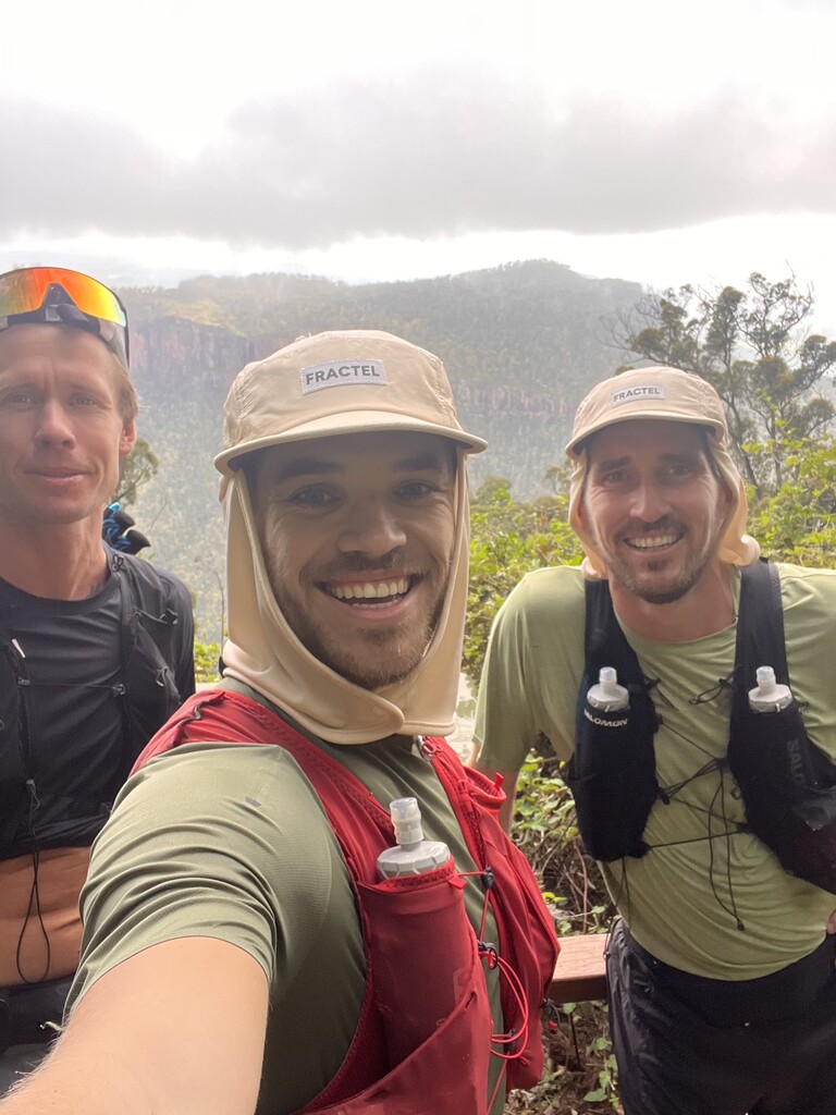
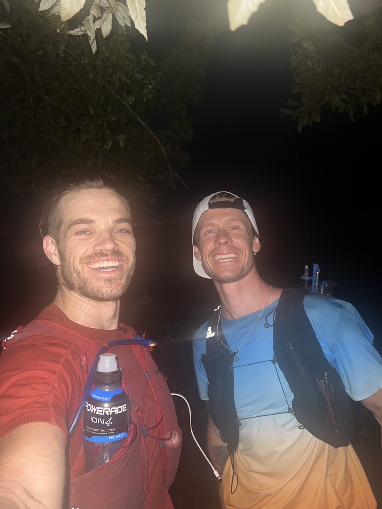
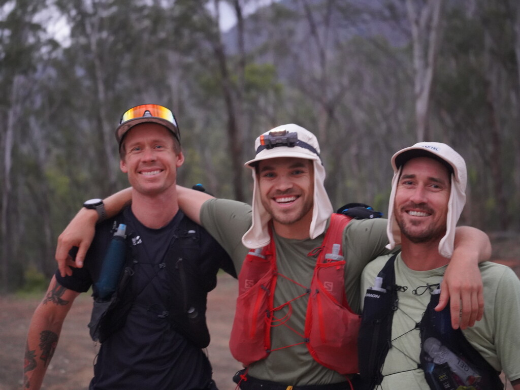
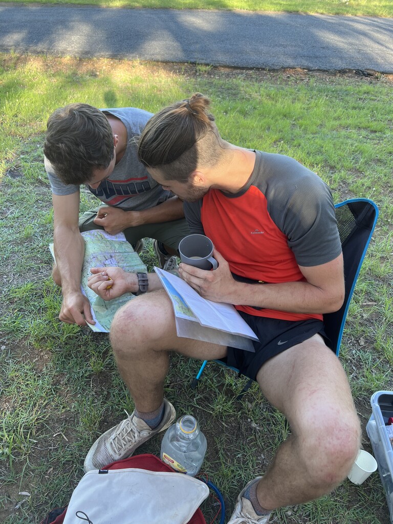
After 7 or so hours me and two friends (Liam McKenzie and Tristan Schultz) joined me for the first leg comfortably crossed the scenic rim trail to make it to Cunningham gap and crest car park where I met my crew. This section is very easy to navigate with signs and easy to track trails. After leaving crest Carpark up mount Mitchell things already started to get hairy. I had planned for a decent from the summit of Mitchell but the overgrowth and steep cliffs of Gympie Gympie had other plans and we back tracked to the southwest ridge of Mitchell and found a much easier decent there to a spicers gap fire road that took us to the governors chair.
This is where things got crazy it was late afternoon the same day I had travelled 57k and was beggining my trek from spicers gap to teviot gap and spring creek road which would be the next time seeing crew.
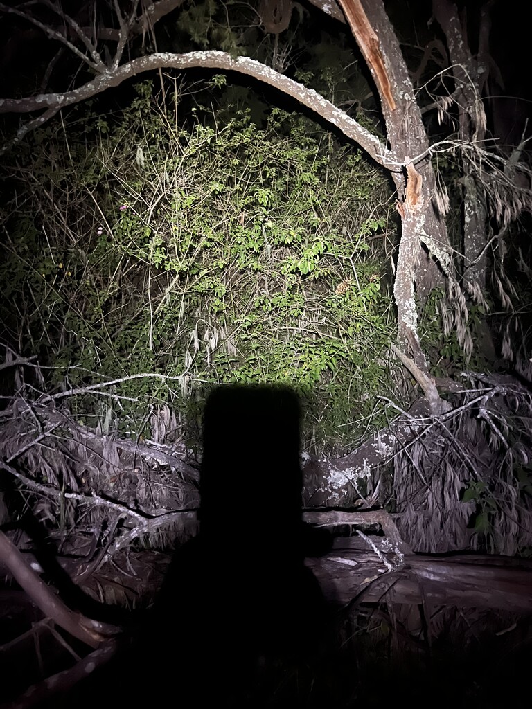
This section over main range was supposed to be tough with no obvious or marked trail but I was managing the first bit over spicers well holding onto some sort of slight path left from other hikers but the moment the the lights turned off so did the trails apparently. Managing this section of the trail in the dark even with a gps was so incredibly testing as there were trails from lost hikers heading in all directions and then their trail slowly disappearing and me having to back track. This would happen every 5 mins. To make matters worse the trails were covered in raspberry bush layer vine and gympie gympie.
and then the worst happened my Garmin and source of contact to my crew fell out a newly made hole in my running belt. After 30 mins looking for it I had to move forward. With only the navigation on my watch and no phone managing to get one final call to my partner. The rest of the hike was a terrible gps file leading me to 1000 foot drops cliff edges and massive overgrowth. And trails heading in all directions along the ridge line taking me to more 1000 Foot in the pitch black with no sense of the ridge line or ability to see where I was heading.
I had to start using more innate navigation skills making sure that I stayed on that ridge line and moving in the southern direction staying close to the wind. As the main range was creating some amazing winds coming up over the scenic rim which helped as a guiding beacon for me knowing is was still near to top of the rim and not descending somewhere into oblivion.
15 hours later after hanging off cliffside waterfalls to get water, quick naps in caves and having to slow pace to conserve energy as I had gone through most of my food. I had finally made it to teviot gap the next morning where my crew was about 1 hour from calling emergency services for me.
but honestly…
I wasn’t ever worried. I love the bush and as much as there were times I could have panicked. A complete faith in my abilities, connecting myself to the land and trusting in my bearings allowed me to come out in we’ll great spirits.
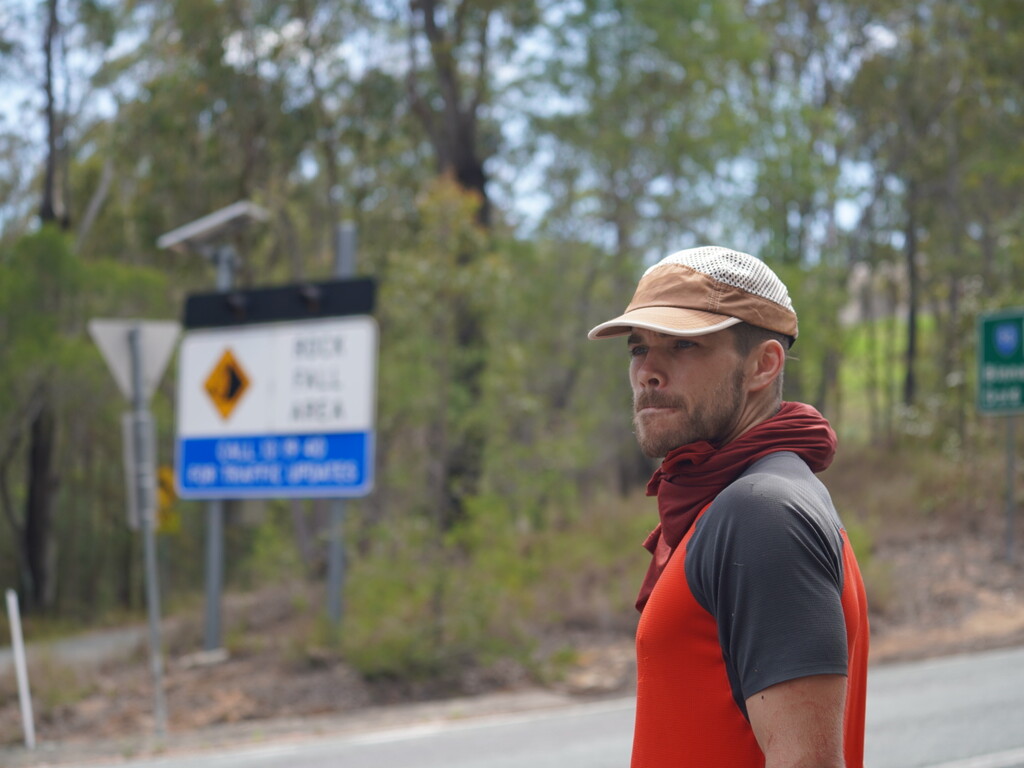
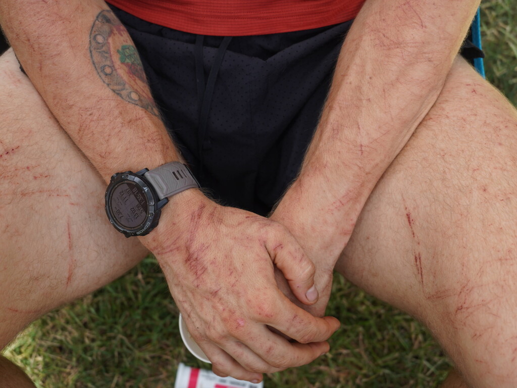
But a lot less fond of the aggressive overgrowth that had torn my flesh from bone in the process.
so In order to by pass some more of what we had heard was some of the worst overgrowth longtime locals had seen on the southwest side of mount Barney national park we decide to head up mount Wilson and do some extra distance up to Burnett creek road and approach mount Barney from the north side through the upper portals track instead.
this was a nice escape from the bush and lead to some great running through the day to get to the upper portals trail head in mount Barney NP.
I got 4 hours of sleep with the crew and then time to start the Barney ascent early morning with went smoothly up the mount Barney gorge between midget ridge and long leaning ridge. I descended to Barney lodge to meet the crew for a breakfast 🍳. It added 5 k but was worth seeing everyone.
I then headed to collins gap for a gear top up before another large section unsupported. This section I had to get permission from the land owners to run through some farmers fields around mount Ernest.
fro collins gap I had a big section to make it to the Richmond gap but I had heard that from there it was realitively easy to follow the fence the entire way and that the over growth didn’t start till after Richmond gap. we’ll that was correct for the first 35k….
5k from Richmond gap the trail had disappeared into a forest of raspberry bushes head high after 1 hour of making it about 400m and being so fatigued mentally I was starting to break and had to get out of there.
I bush wacked down the super steep ridge line to get to running creek road where I would attempt to go over grass tree knob and meet my crew at mt gipps Rd
As I was getting to the top of grass tree the trail dissapeard again into the worst overgrowth imagine-able…again and something in my head broke as I was staring at my pit crews headlights in the distance as it took me two hours to travel about 1km…
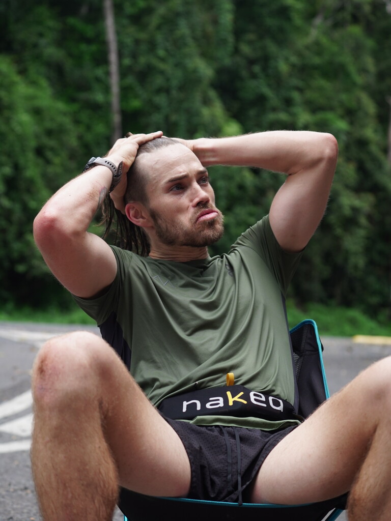
I needed sleep I told my crew to drive me to camp I needed to reset mentally if this was going to get done. I had attempted to do it all on no more than 4 hours sleep and while physically I felt strong my brain was starting to show cracks.
so I slept for 6 hours which was a much needed reset Tuesday night.
Wednesday morning in the daylight I started again from Mt gipps road to start my trek on a old farmers trail up to stretcher track where I could finally reconnect to proper national park trail and make my way to my partner and girls at the Stinson memorial park before my run up the Stinson wreck track to connect back to the border track via Christmas creek and the Stinson track.
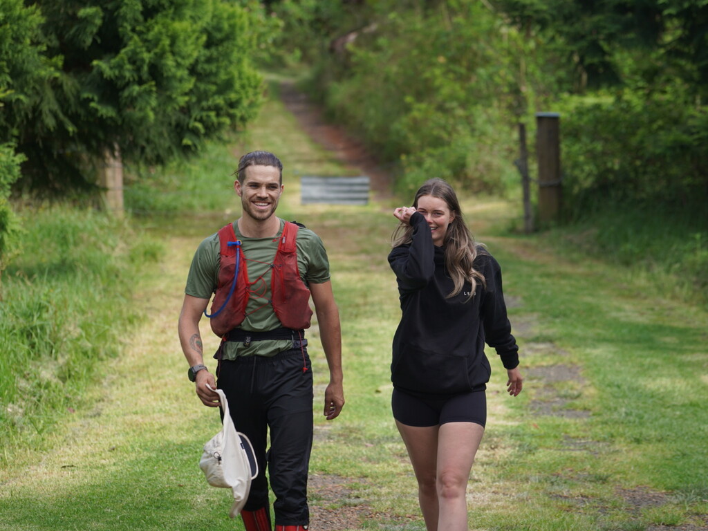
This section was relatively easy to follow and well marked but once getting to the macpherson range walking track the trail while still relatively easy to follow in the day time became a tiny little tunnel which made running very hard and that slowed my pace significantly causing me to burn through most of my fuel before getting to very runnable and easy border track in lamington national park with only about 20k of runnable terrain to go to get to Binna Burra but with no water and food the physical component started to kick in. Lucky I had a best mate Liam McKenzie who met me out on trail with some Powerade and good vibes to pace me in the last 10k - a true friend 🙌
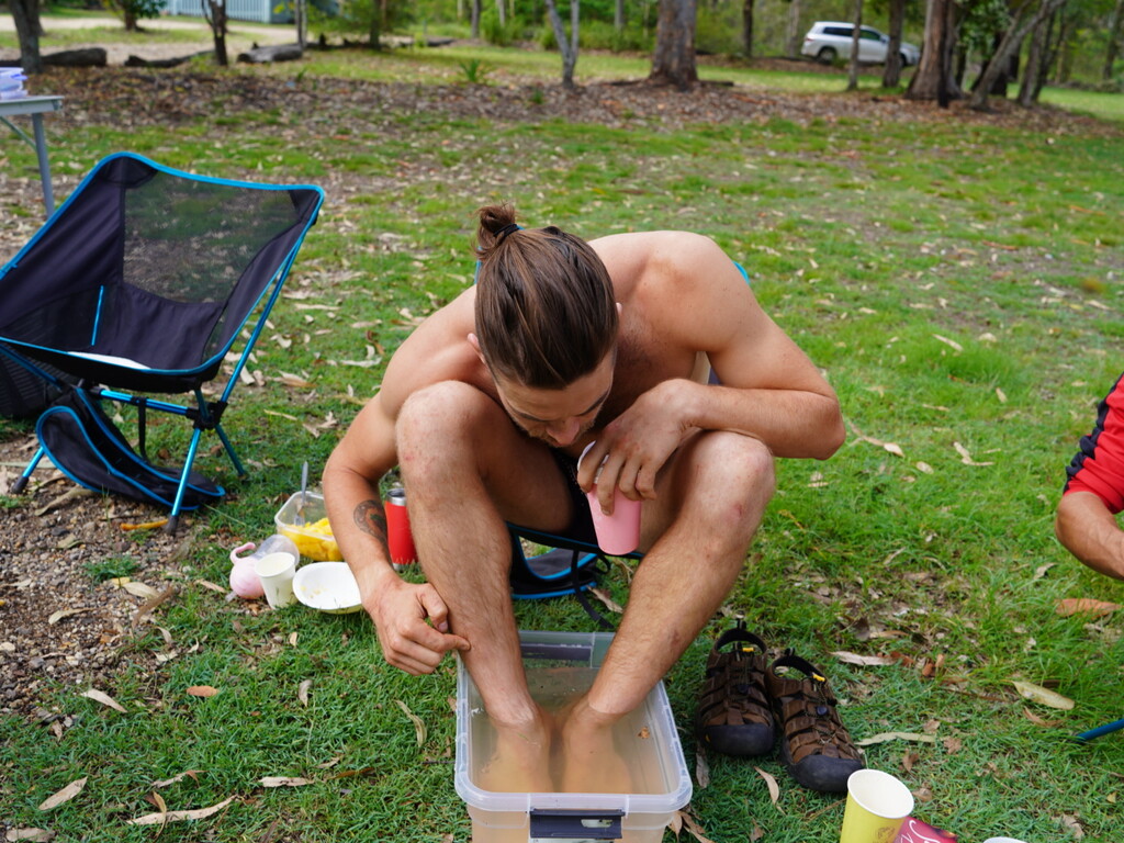
when getting back to Binna Burra I was mentally in a good space but physically my body was in pieces and decided I would just sleep in 6 hours and start in the morning.
so we did and the last marathon to mount Tamborine awaited in the morning and with a quick coffee and breakfast on me I was off Thursday morning and idk if it was the coffee or the gratitude from what I was just about to accomplish but wow I felt good.
I covered the last 40k in 5 hours after the last 4 days of 250kms, little sleep, and batteling some of the worst terrain the scenic rim had to offer. I even ran the entirety of the climb up mount Tamborine which blew my mind.
but I had done it… with tears in my eyes from the fatigue, the gratitude, and this uncontrollable sense of accomplishment I had ran the entirety of the scenic rim in 4 days 5 hours and 55 mins.
looking over the scenic rim to where I had started 4 days ago was a feeling I will Never forget. It will shape me as a person for the rest of my life and set a new understanding of what the human body can truly do.
I had no injuries and started running again two weeks later and now taking on other amazing endurance feets. Follow along @thegillygoat on Insta to see what I’m up too now.
if you have made it this far you are probably interested in this FKT, I say do it and do it quicker than me…
but please don’t take it lightly, I can’t tell you how prepared and comfortable you need to be in the bush for some of these sections. Talk to locals, have all necessary safety precautions planned and ready.
The Scenic Rim Traverse will throw everything at you mentally, physically, logistically, emotionally, but if you complete it…
well that feeling I can’t describe with words…
Goodluck!
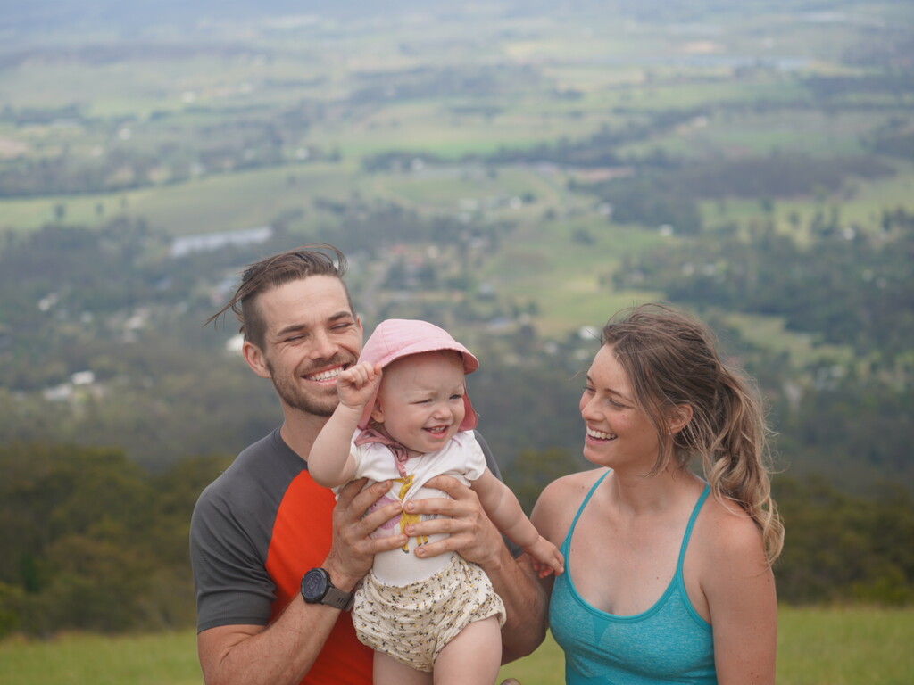
Big Thanks to James Hill, Nicole, Liam and Bec McKenzie, Nikki Chapman, and ESPECIALLY Brittany my partner for being there through the event and supporting me in more ways than they know!
These people are just as big a part in this accomplishment.
If you have any questions reach out and I am happy to give you every piece of advice you need 🙌🙌
PS. I apologise for the spelling and grammar 🤣