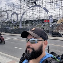
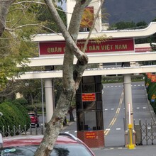
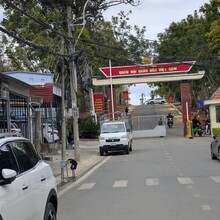
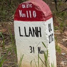
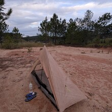
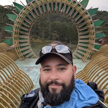
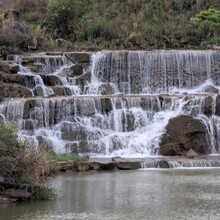
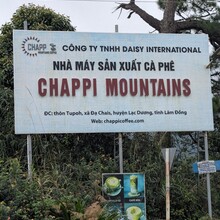
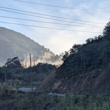
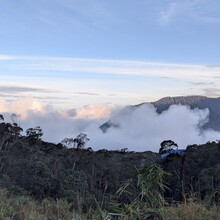
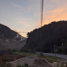
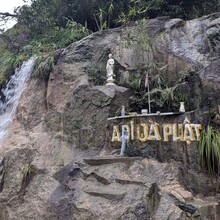
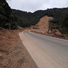
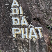
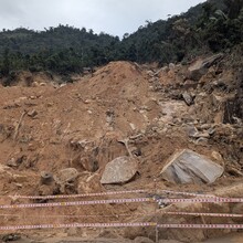
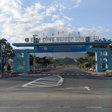
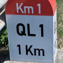
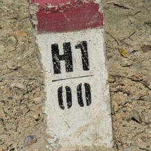
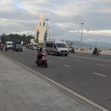
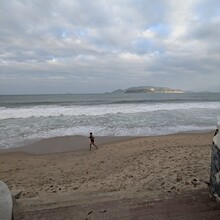
What a great way to see Vietnam! All the locals I talked to called it the Mountains to Sea Path. I posted a new, updated gpx of route since nobody has done this before and fixed the problems. The first 2 are in the city of Dalat. The first is a reroute around the Army Officers Training Area, which does not allow entry to non military. The second is shortly after that where them route comes off the main road and up an alley. On paper it looks good, but that alley is filled with traffic and dangerous to walk down it. Trust me. Lol. The last one is in Nha Trang. The route has a small area where it just goes directly through buildings, fences, ect. Typical old software routing problem. I had pretty Wonderful weather for the hike, cool and cloudy for 95% of it. Every village or town has water and food you can buy. The route starts in front of the biggest supermarket in Dalat. A good place to stock up. The route had been closed for a couple of weeks due to a landslide and finally just opened back up. Plenty of room to get through that area even with the vehicle traffic. Interesting and busy walk through Nha Trang.
Athletes
Route variation
Standard route
Multi-sport
No
Gender category
Male
Style
Self-supported
Start date
Finish date
Total time
3d
6h
44m
0s
Verification
GPS track(s)
Vnmt2seatr.gpx369.28 KB
Report

