
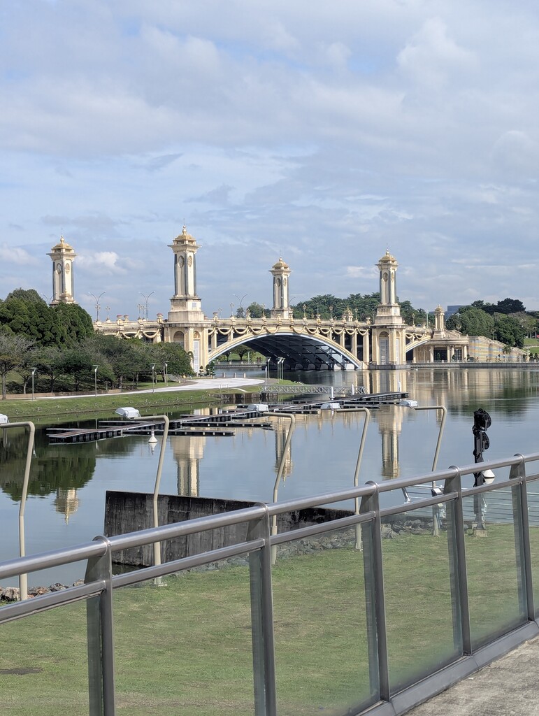
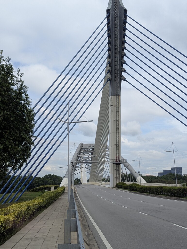
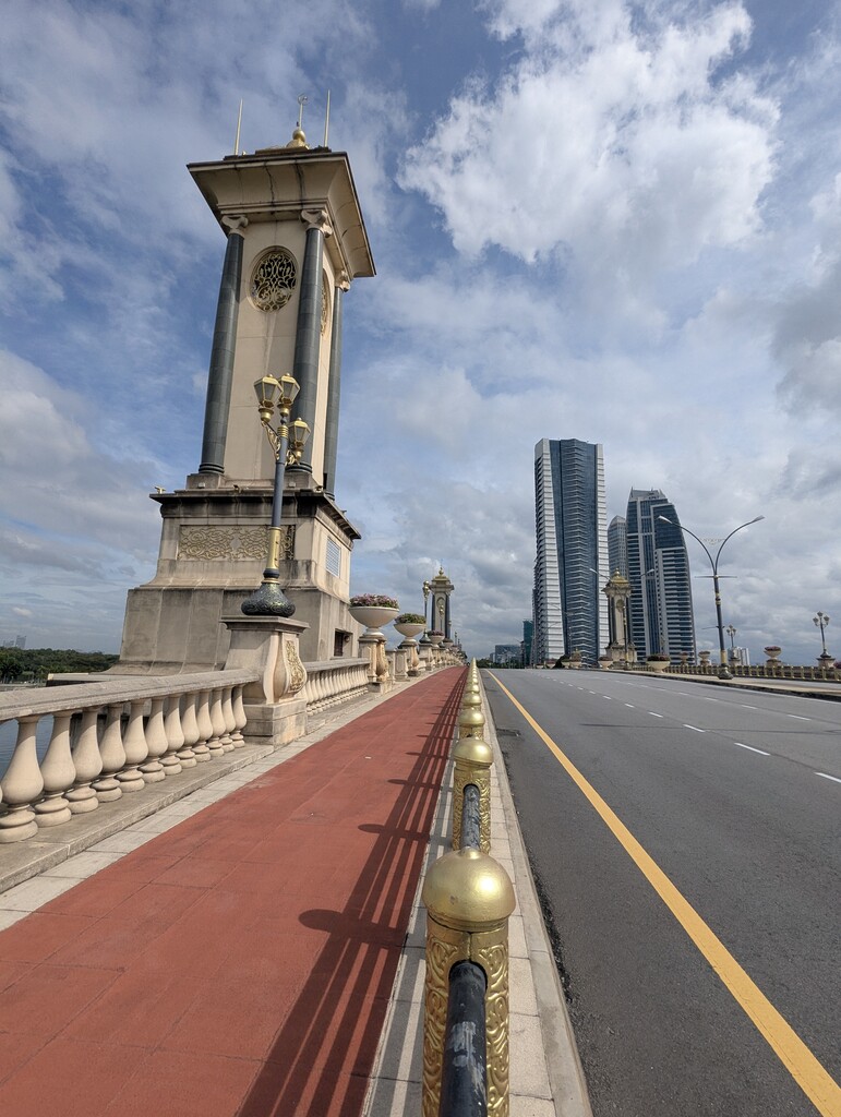
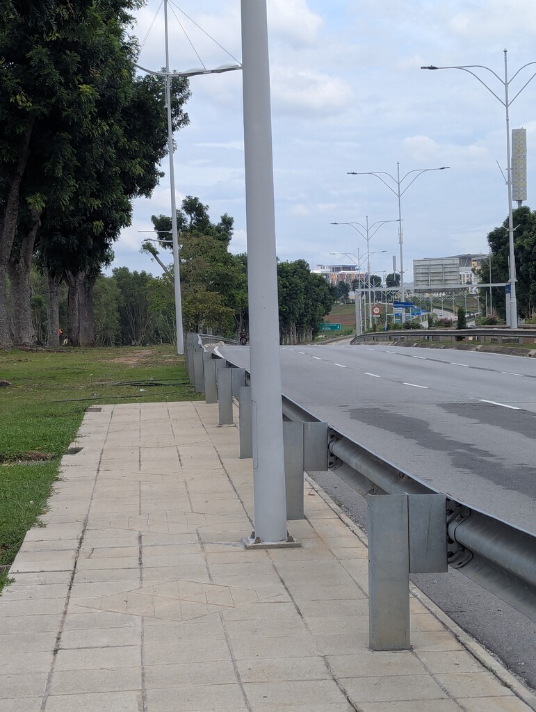
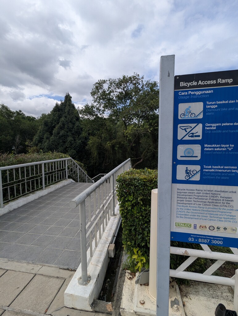
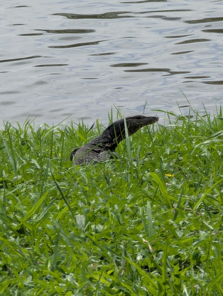
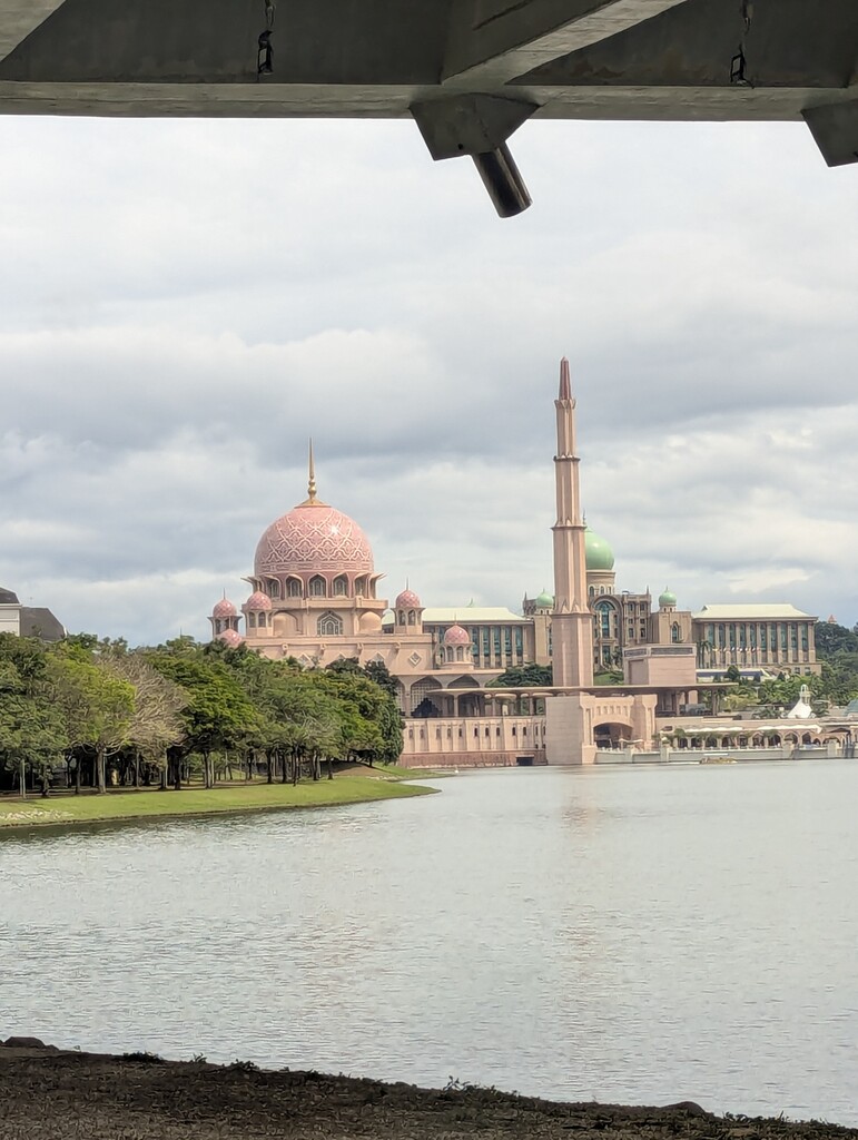
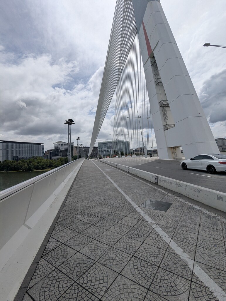

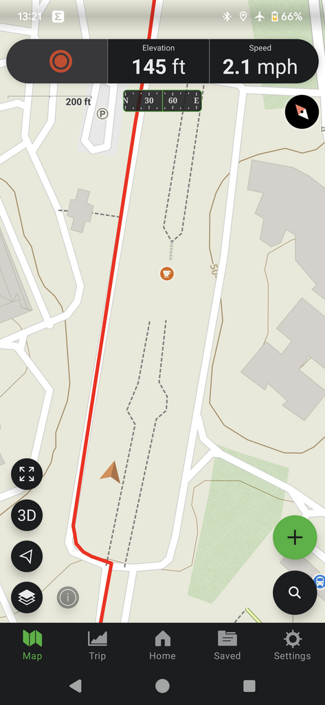
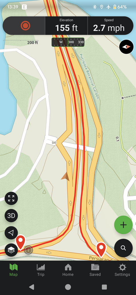
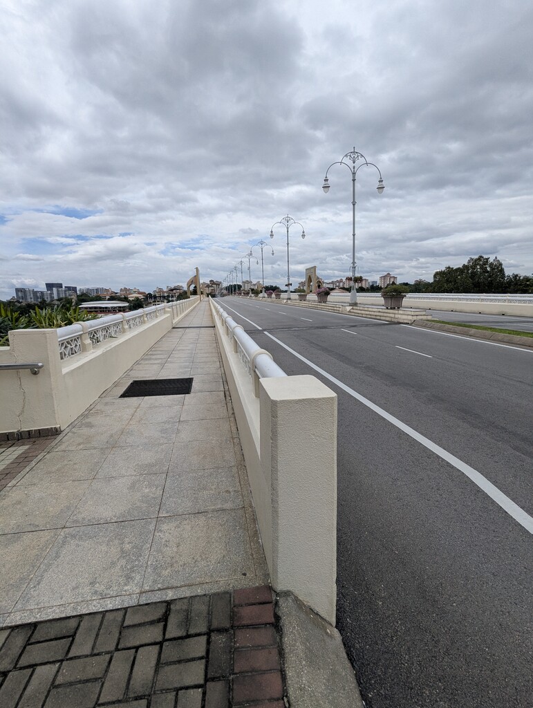
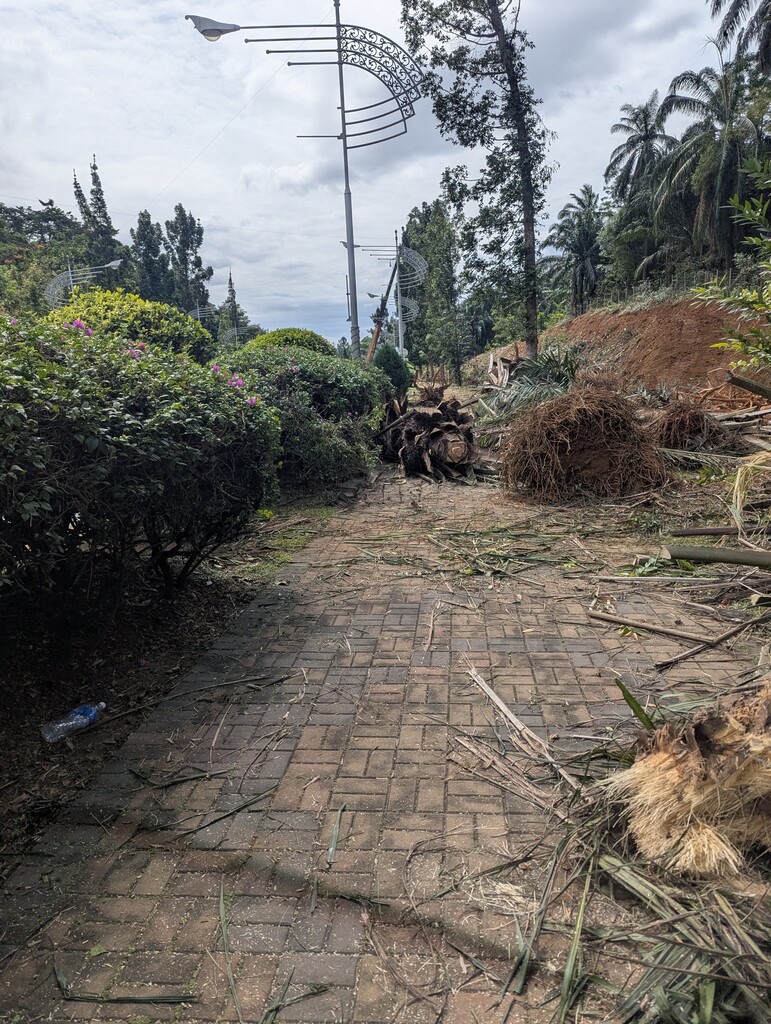
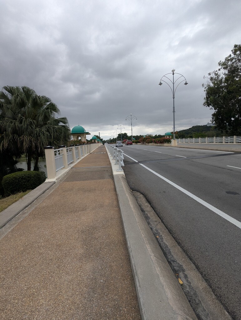
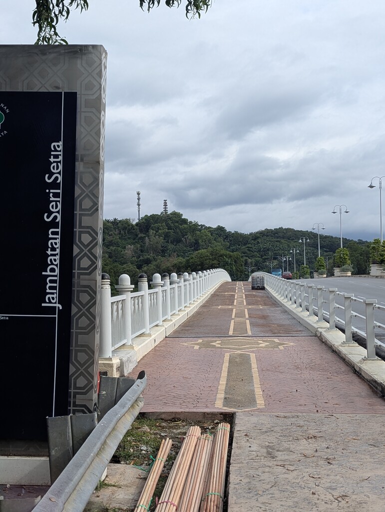
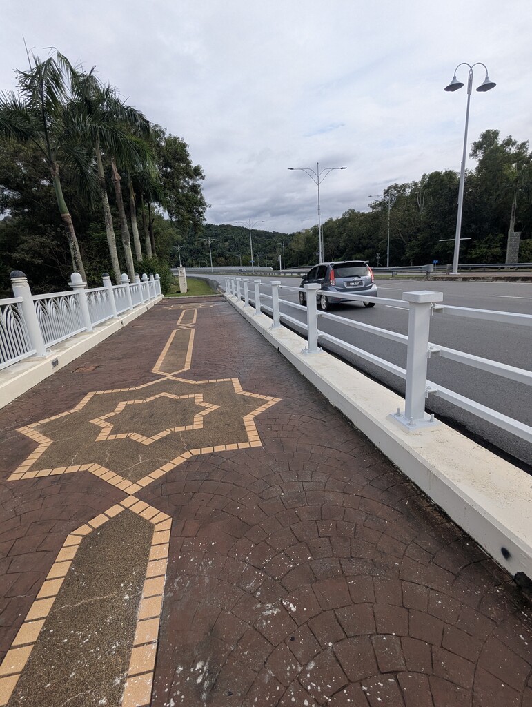
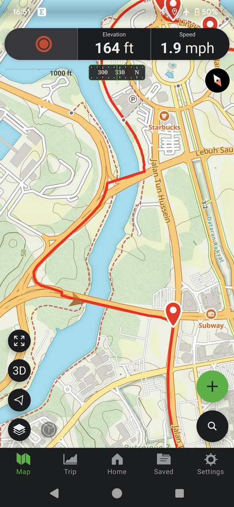
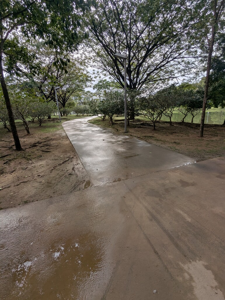
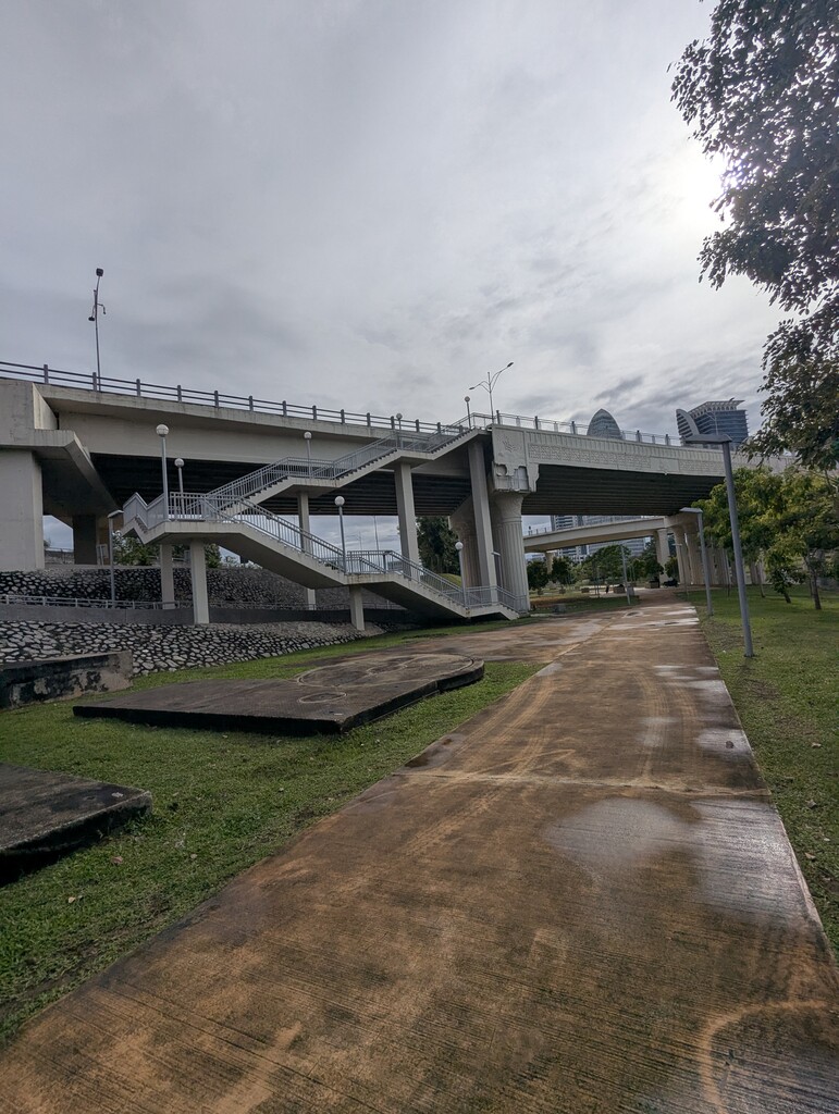
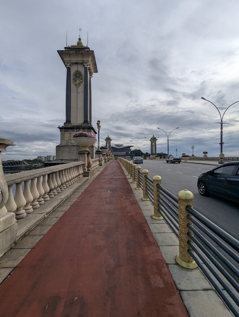
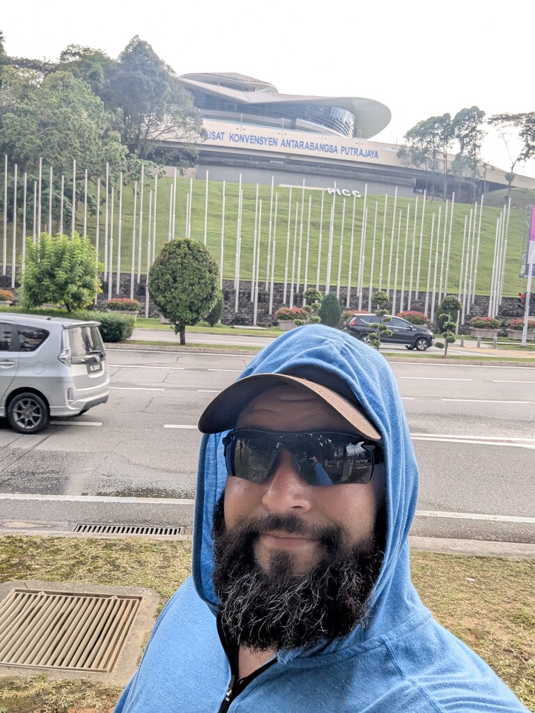
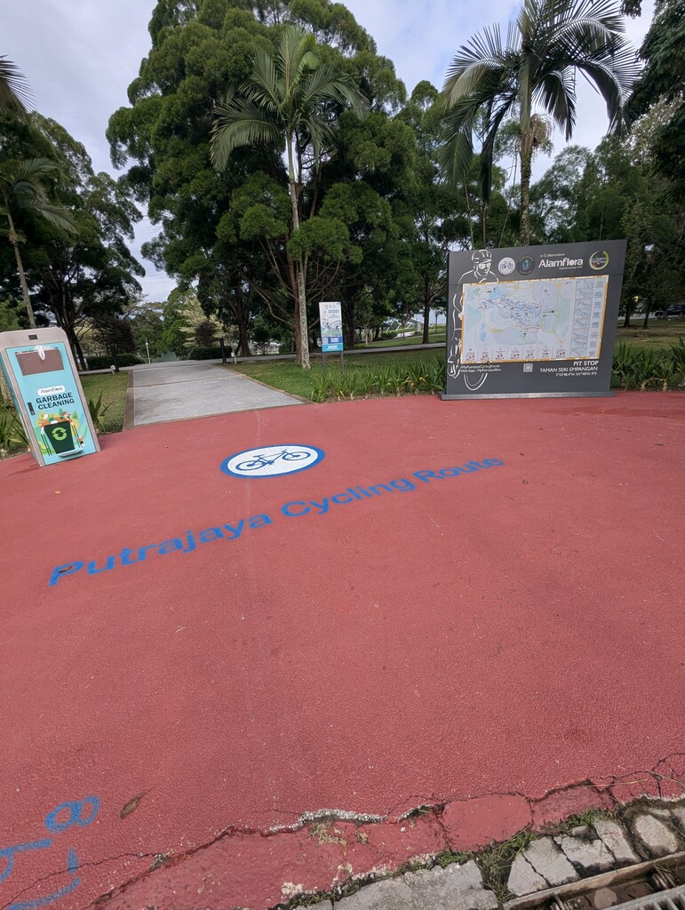
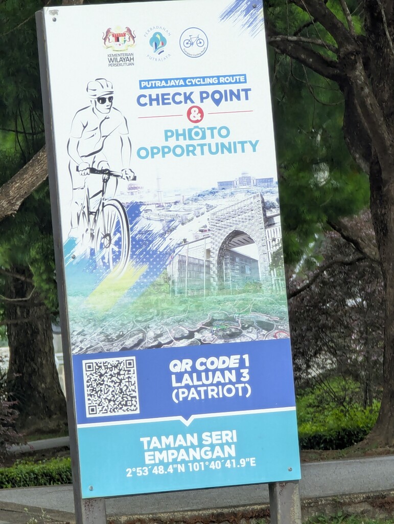
Another good day hiking around Kuala Lumpur. I tried fixing the map but couldn't do it with my phone. So, this is another one that's never been done before and needs a little editing. It shows using the middle of busy 6 lane roads, don't do that. Use the walking path next to the road. At the end of the 2nd bridge you can't cross like it shows, you have to use the stairs. At the United Nations I wandered around looking for a bathroom which didn't exist, but across the street in the 7-11 complex there was one and some snacks. After that is another section its using the road, where you should use the walking path. Next is Putra Square. A very busy, single lane road. Use the inner walking path. Restrooms here too. After crossing Seri Perdana bridge the route should return at the first intersection. I hiked the gps track it didn't lead to anything significant, just bad routing. After that you enter the Worlds Largest Roundabout. Be very careful crossing the road. Dangerous, busy, medium speed traffic 6 lanes wide. No protected crossing point. Same thing again when you have to cross back over. Good route till the end Seri Setia Bridge. Here it shows you using the highway to continue. Do not do that. Take the stairs down and follow the walking path along the water. Use the stairs again at Lebuh Wadi Ehsan bridge. And finished out at the water station / end of the bike trail markers. Not the middle of the road intersection. This might sound complicated, but on the ground it's easy and makes sense.