This submission is over a year late.
On Saturday August 7, 2021 I completed Christof Teuscher's Wy'cool 50 mile challenge. This lollipop loop follows the Hunchback ridgetop in one direction and the remote Salmon River valley in the other. I carried all food and gear and stopped twice to filter water. As far as I know I am still the only one to attempt this route of the Wy’cool series.
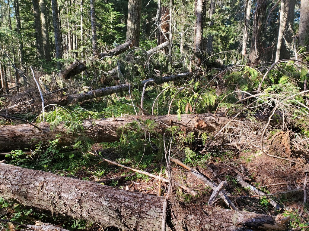
I parked at the Zigzag Ranger Station and started up the steep Hunchback. The trail is not too bad at first but the tread degrades higher up, and there is a significant old-growth blowdown between mile 5-6 that’s been there for years. This route gets to negotiate the blowdown twice because it’s just before the start of the loop. I estimate close to 30min extra time cost each way. When I finally reached the loop I continued along the ridge toward Devil’s Peak, rolling but mostly climbing. The lookout tower at the summit is a 0.1 mile side trip but spectacular views are worth 8 extra minutes.
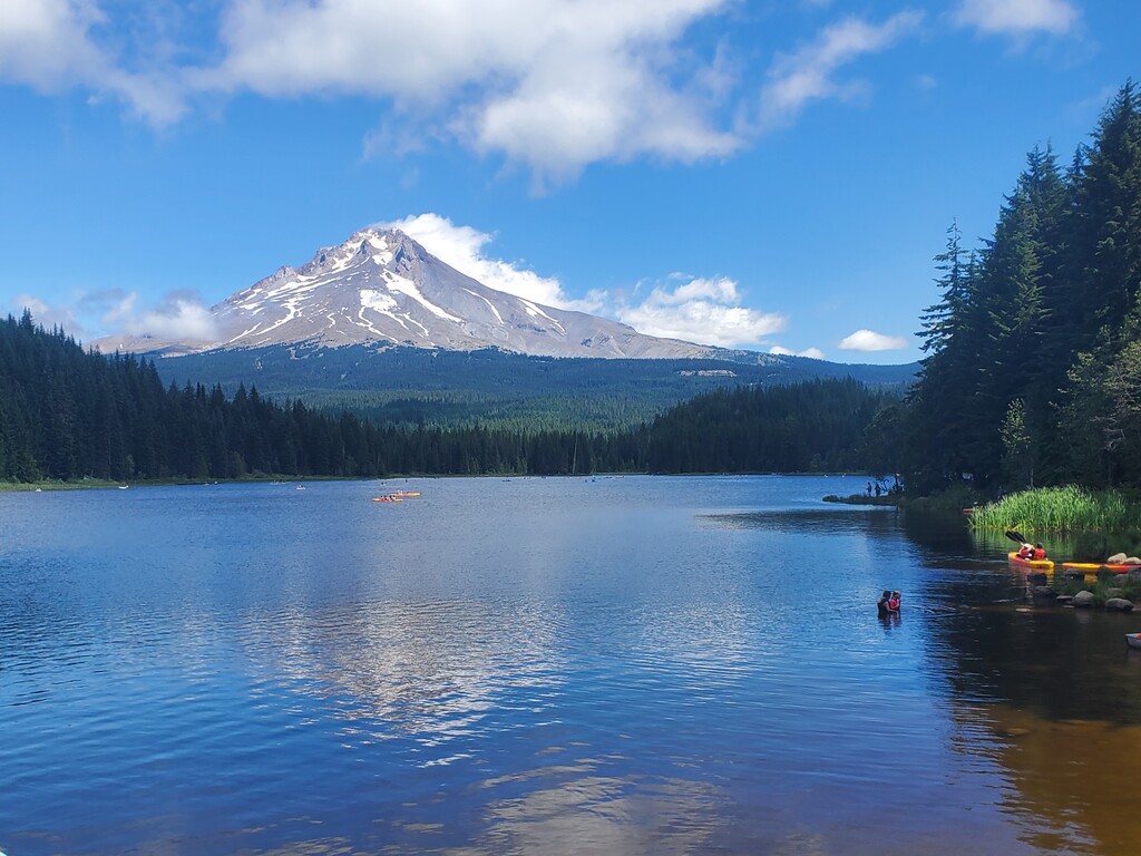
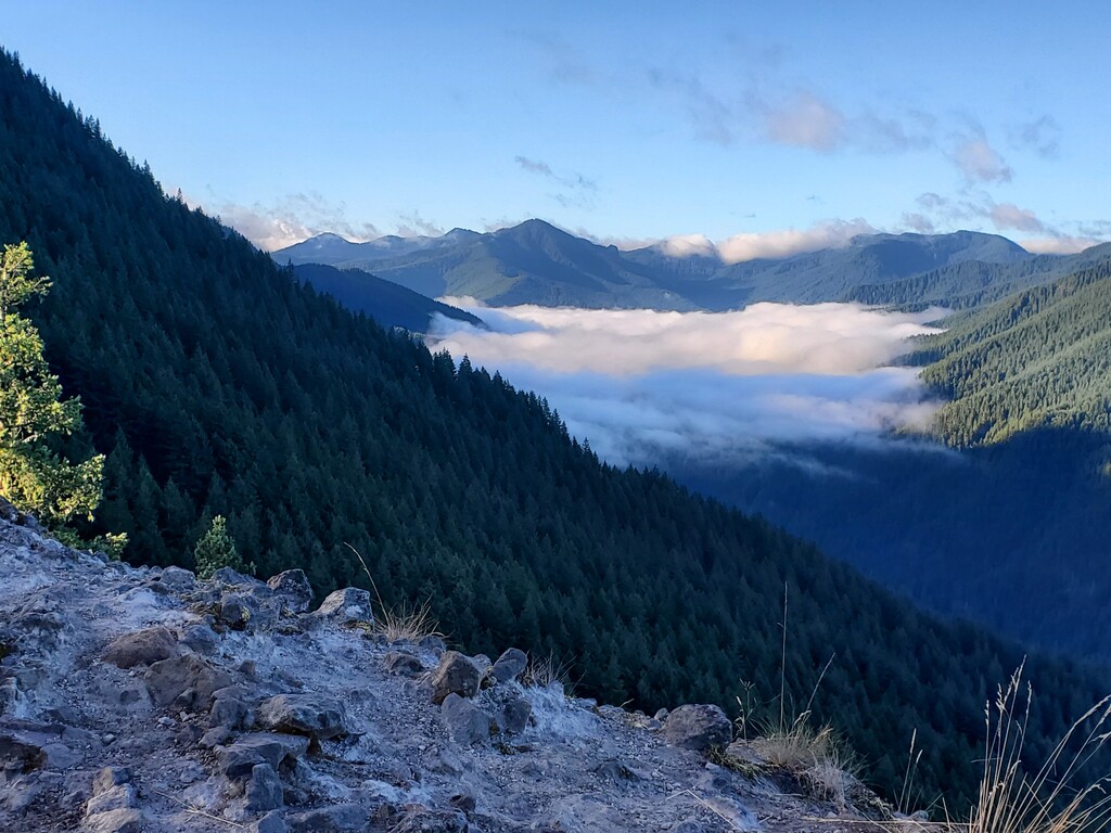
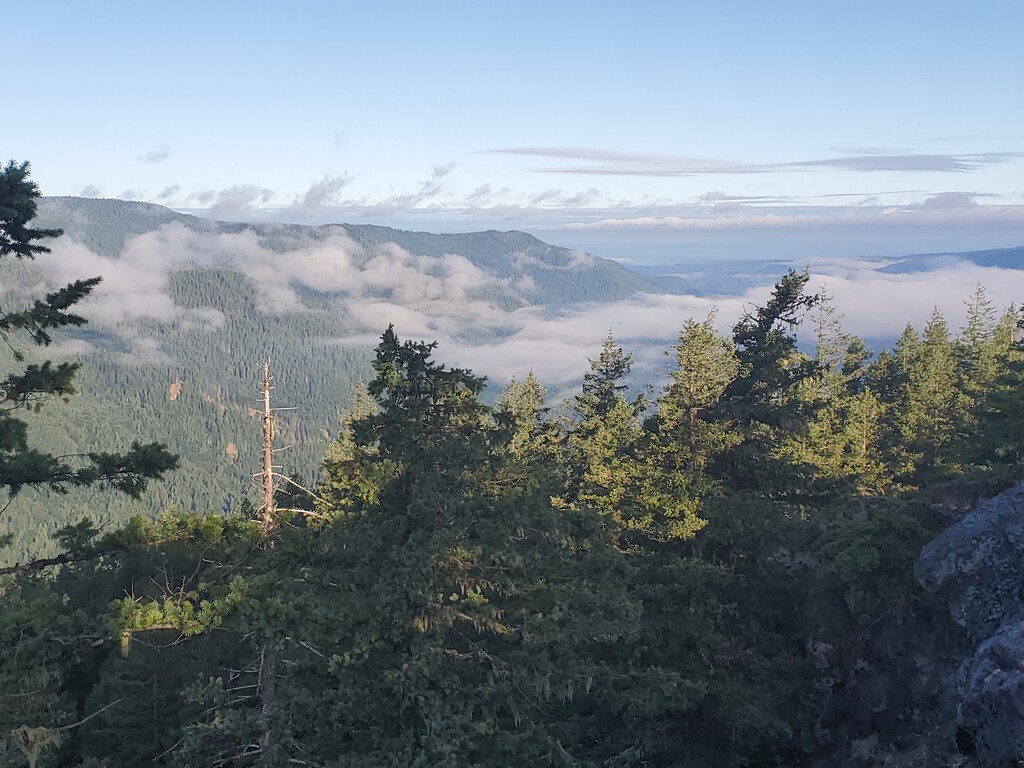
I continued east along ridge, soon picking up the long forest road at Kinzel Lake. I maintained a decent pace all the way to Trillium except a couple of huckleberry stops. Trillium Lake was very busy being a nice summer day, but the route only circles a portion of it and the views of Hood are nice. Still I was relieved to exit to the south along another forest road. Here I took a wrong fork that dead-ended in a quarry, wasting 1 mile and 12 minutes. The upper Salmon River TH is approximately halfway. I expected to cruise the 14 mile SRT section almost like the road descent, but it just didn’t happen. There was enough blowdown to break the rhythm and it was hard to sustain any faster pace. Still it’s a fun stretch. This is where I refilled water. I started with enough water for the first half because I wasn’t aware of any sources (except Trillium Lake, but…).
As I started up Green Canyon I was feeling rather gassed and even lay down on the trail for a few minutes. The weather had changed and drops were starting to fall. The Hunchback blowdown did not magically disappear during the day and was more tedious with tired legs. The drizzle had soaked the overgrown sections so I was getting pretty wet. As dusk approached I frequently looked over my shoulder because this is the section where a hiker was killed by a cougar a few years ago. I descended the last 2 miles and 2000’ with a solid pace.
This loop is relatively tame for Christof’s routes especially the road section, but it’s still challenging, beautiful and makes a nice all-day outing. I chose the cw direction for the gradual downhill dirt road section where I could sustain a nice pace. In the ccw direction the road would be later in the day- hot, exposed, and without water until the finish (except Kinzel Lk?).