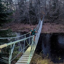
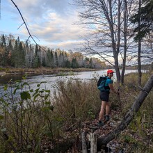
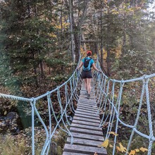
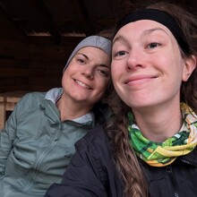
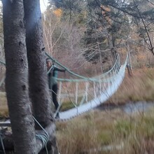
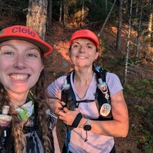
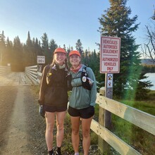
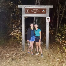
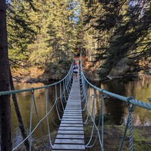
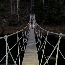
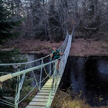
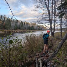
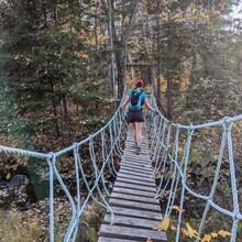
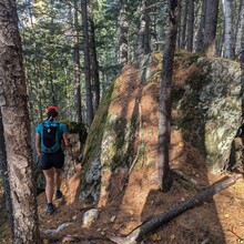
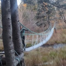
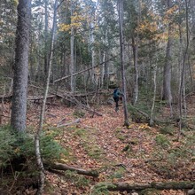
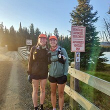
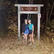
(U-R, km 0-28.5) After a delayed start, in part due to not being allowed into Mount Carleton park until the day staff arrived (apparently as we were registered for this trail we should have been allowed), we set off from Access U at 8:45 am on Saturday October 19th 2024. We went past the cabins and signed the registration book just before 8:50 am. The first few km’s on an old service road were very easy going, and we entered the woods and our first section of singletrack trail at 9:20 am. The day quickly warmed up and we got to the first shelter (Pagoegonaq) and bridge (Little South Branch Nepisiguit) at around 10:20 am (just over 10 km in). Shortly after reaching the Sixty-Nine Mile campsite and filling our water up for the first time, we startled three moose that were drinking from the river. This first section had a lot of moose and bear poop, but this got less as the trail went on. We continued along on the nice, smooth trail until we reached access point R (Popple Depot) at around 1:30 pm (~28.5 km in). We’d only seen one person out on the trail, someone that looked like they were about to set off for the day from one of the shelters. Here, we met Carolane, who was supporting us, restocked our snacks and food, and changed our shoes. We knew that it would likely get dark on the next section, so we took our headlamps as well as some warmer clothes before setting off again just before 2 pm.
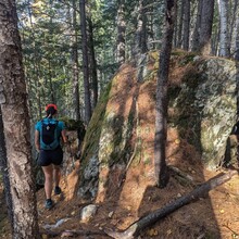
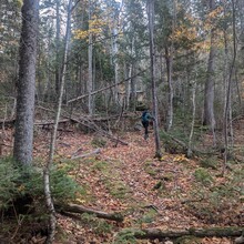
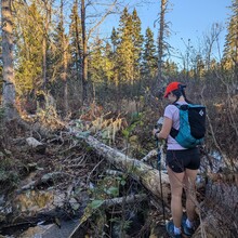
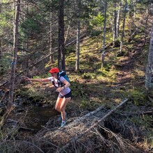
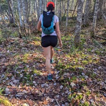
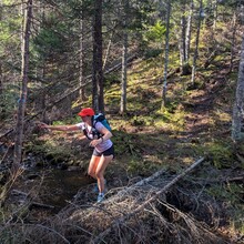
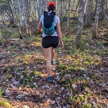
(R-L, km 28.5-71) The first few km’s of the next section were along service roads where we saw families in Side-by-Sides, as well as a group sitting next to a campfire at the river, but shortly after crossing the river by bridge, we turned into the woods again (~32 km). The trail here soon got more technical, with lots of sharp brambles that we needed to push past (the section around Blue Ledge lake was particularly bad), small streams to cross, and leaves covering all of the rocks and roots underfoot. We had assumed that water would be easy to come across as we were so close to the river the whole way, but we soon learned to fill our water when the river was close and reasonably accessible, not when we had run out. As it started to get dark (around 6:30 pm), the terrain got more challenging, with large moss-covered boulders that were also covered with a thick layer of dry leaves, but seeing the marker showing that we had 100 km left to go helped to cheer us up. The dry leaves not only slowed us down considerably - I found only hitting 2-3 km/hr, and not our expected hiking pace of 5-6 km/hr incredibly difficult mentally - but also made it really difficult to hear each other talking, so this bit very quickly became very miserable. We had anticipated that we would reach access L by ~10 pm at the latest, but the hours dragged on. We did briefly celebrate when we passed my (Robyn) previous longest run at 67 km, and the almost full moon and clear sky was very pretty, but unfortunately mainly hidden by the thick trees. We also went past several sections where we could hear the water moving fast, and can only assume that in the daylight it might have looked really nice. We also couldn’t see anything from the Alfred’s lookout viewpoint. The old service road at around km 70 was a very welcome relief, and as this was one of the only sections that I had done previously, I knew we were getting to access L within the next few km’s. We made it to access L (71 km) at around 12:30 am on Sunday October 20th. We didn’t see anyone at any of the campsites, or along the trail.
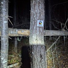
(L-H, km 71-94) We had always planned to make it to access H for overnight (not for a full 8 hours of sleep, but for a few at least), but we had initially assumed that we would make it there sometime between 12 and 2 am. Although Carolane did ask us a lot of times whether we were sure that we wanted to still do that, we decided that we did want to stick with the plan so that we’d only have ~55 km to go after stopping. With fresh shoes, restocked snacks, and warm soup in our tummies, we set off again at around 1:25 am. This section was the most challenging for us. Despite a short section of service roads at the start, very little of this was easy terrain. We had mistakenly believed that the elevation wouldn’t feel bad because there wasn’t much of it over such a long distance, but the incredibly steep (albeit short) ups and downs felt relentless, particularly as we mainly shuffled down them on top of the leaves. We briefly lost the trail many times during this section - there was a mix of reflective trail markers and blue tape/paint, which was a lot more difficult to spot in the dark than it had been in the daytime! We mainly seemed to be fine if we kept going, but stopping even briefly often broke the flow and then we struggled to re-find the trail. There were many small streams through the woods, but we mainly managed to use the rocks and our poles to keep our feet dry, however, a beaver pond at ~78 km (3 am) changed that. We couldn’t find any way around and so had to go through. Emily was wearing shorts and almost managed to keep those dry, but I was wearing leggings and got very wet. Emily did great at plodding on through this section, but I was very miserable! The sun eventually came up at ~7:30 am, when we were around 2 km away from access H. Around here, we received a message on the InReach from Carolane that one of the cars tyres had “exploded” - I was hoping this was a bad translation from French. We eventually reached access H (94 km) shortly after 8 am, and got ourselves into our sleeping bags that Carolane had left in the shelter for us earlier.
("overnight" stop) We got up again at around 11:30 am and went the few hundred metres to where the car was parked next to access H. I saw that the tyre really had exploded (the car was mine, but Carolane was driving and didn’t feel anything happen, just woke up to discover it), and while Carolane made me coffee, I started trying to take off the destroyed tyre. The ground was very soft, and so on my first attempt to jack up the car, the jack slid and the car fell off it. We moved the car a little and tried again with my boot liner underneath the jack for support. This worked, but then I realised that we needed to loosen the lug nuts first (turns out that running 94 km is not great for your ability to think). We got really stuck on this, and I used the InReach to message both my partner and my brother for tips. My partner started trying to call the CAA and any recovery trucks in nearby Bathurst. We eventually managed to loosen the lug nuts (thanks to my brothers tip to first tighten them) but then the wheel itself was stuck. Being unsure how stable the jack was for kicking the wheel, we decided Carolane would need to wait to be rescued by the CAA, and Emily and I would carry on, operating on the assumption that we’d no longer be able to meet Carolane at access E (km 118) as planned, and would need all of our snacks and gear for the remainder of the trail.
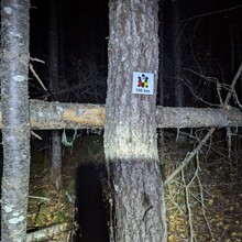
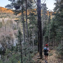
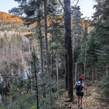
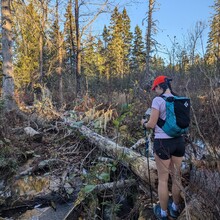
(H-B, km 94-137) We set off again at around 1:45 pm. This next section was among the prettiest, with beautiful views of the rocks in the river below, and we were motivated by the knowledge that we’d soon be on the section of the trail that everyone had said was the easiest (km 100-150). We went through several small boggy sections, and hit 100 km at around 3:20 pm, so we were now in territory that was the longest distance travelled for Emily as well as me. The 2 km or so on the service road before we got to access H felt hot, but it was so nice to finally be able to move a bit faster, and when we got on to the trail again at access H (around 4 pm), we quickly found that although much of the trail was still covered in leaves, there wasn’t a lot in the way of rocks and roots underneath and we were finally able to make the progress that we’d wanted to be able to make! The only things slowing us down now were using precarious trees or beaver dams to cross small ponds, or trees over the trail that we needed to climb over. As it started to get dark, we got to the Ruisseau Gordon Meadow Brook bridge (114.5 km) and assumed that crossing this rather than going around was what we should do. When we got to access E (what we’d assumed would be km 118), we were at ~116 km and it was 7 pm. We made good, but slow, progress on the smooth trails after this, and stopped to look at the teepee at the Eagle campground at around 9 pm, having just seen some tents on the platforms there, and at Pabineau falls at around 10 pm. At access C we were excited to have some sections on service road, but quickly realised that running on this really hurt! We stopped to take some painkillers and caffeine pills and then did our best to carry on. We found the next section of the trail a bit odd - we couldn’t see, but it felt like we were on top of a dam and the trail was on a gravel ridge, with some sections slightly caved in and feeling a bit precarious. We also took a wrong turn somewhere around ~134 km - we followed the trail markers, but then realised that we were off the trail according to our map. We backtracked and found the other trail, which looked like a trail but we didn’t see another Nepisiguit marker for a while. We’d found out during this section that the CAA couldn’t get to Carolane (not really surprising given the small access road she was down, with so many shrubs growing in the middle that we were initially unsure if we should go down) and so my partner Andy was driving from Halifax (~5 hours) with one of our winter tyres and a better jack, in a truck borrowed from a friend. They managed to get everything fixed and were waiting for us at access B. We quickly changed shoes and left our bags with Carolane for our final 10 km section on the rail trail.
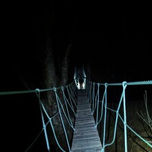
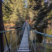
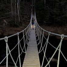
(B-A, km 137-147) After leaving Andy and Carolane at 1 am, we tried to run on the first section of road and found this really hurt. When we turned onto the rail trail, we settled into alternating between running and walking every 3 minutes. We were pleased that we still had the energy to do this! We’d hoped that we’d be able to fill our water somewhere here, but didn’t find anywhere. We followed the Nepisiguit trail sign to leave the rail trail, but it seemed like we possibly went wrong on this 100 m or so section, but nevertheless, we’d made it to the road and crossed over into Daly point nature reserve. We walked through this section as I’d switched to road shoes, and crossed probably the longest suspension bridge of the whole trail! We came out the other side to the car and Carolane and her dog Charlotte joined us to run the final 700 m to the sea! We finally finished at 2:20 am on Monday October 21st.

