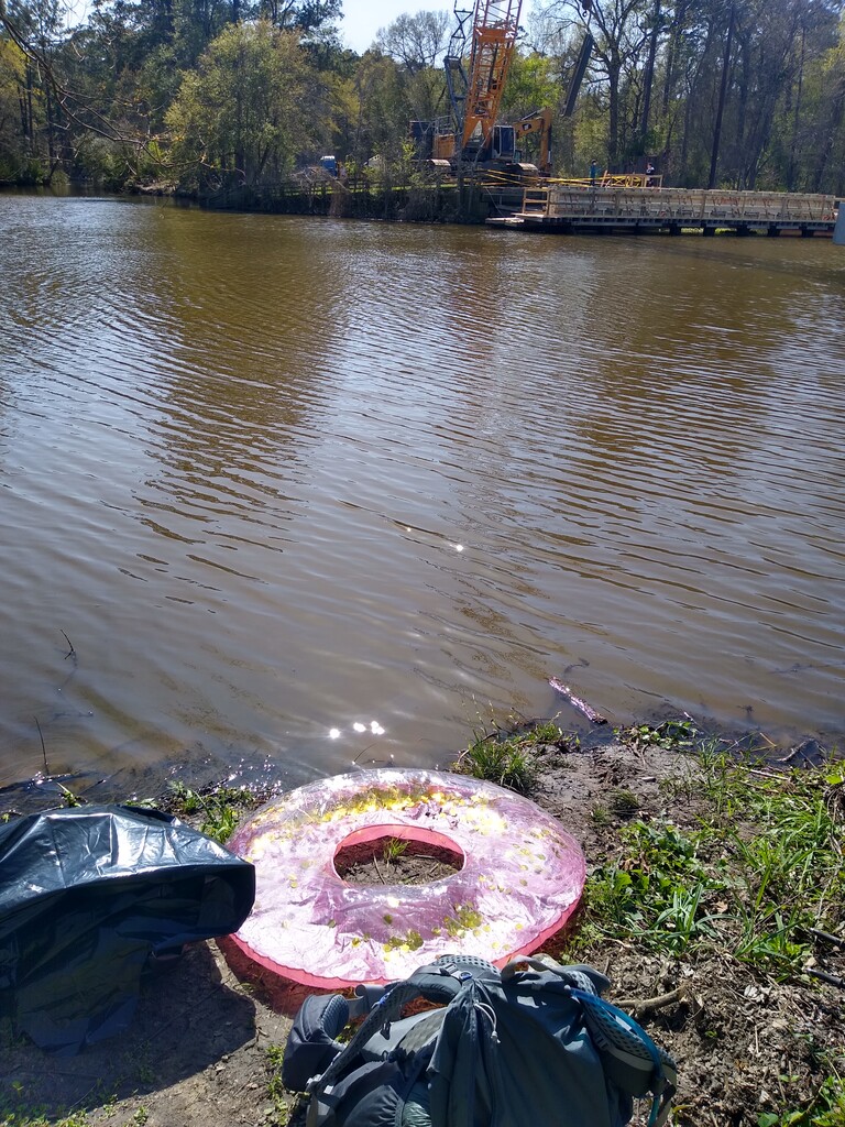
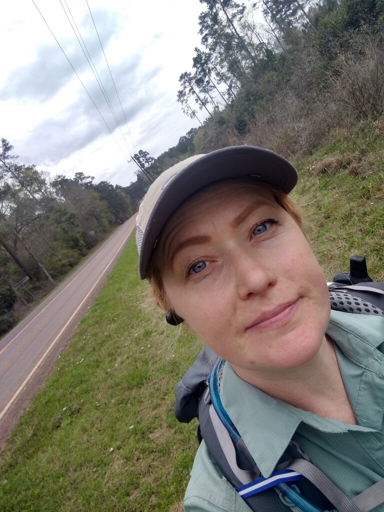
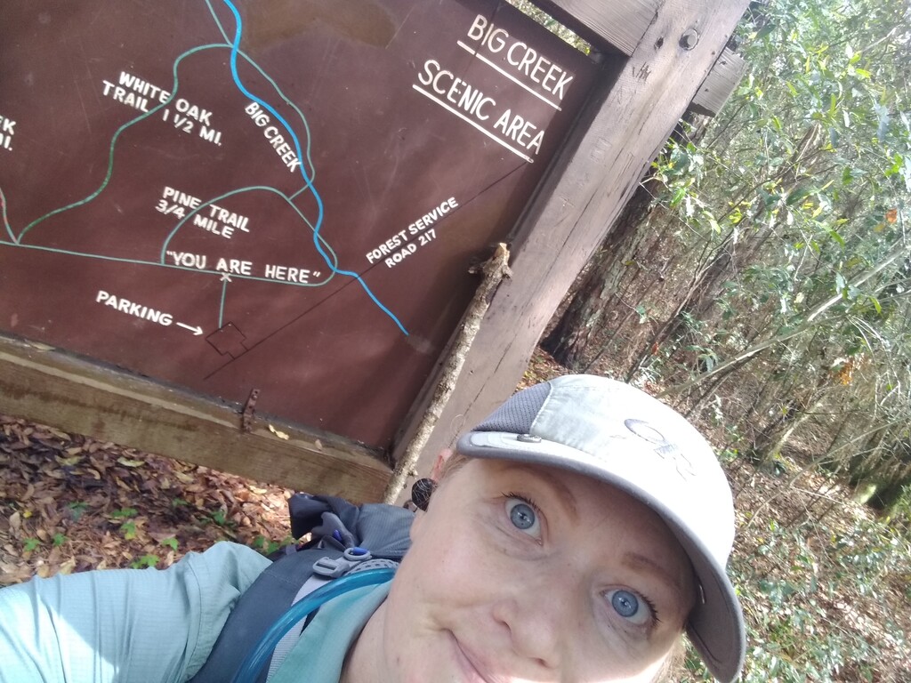
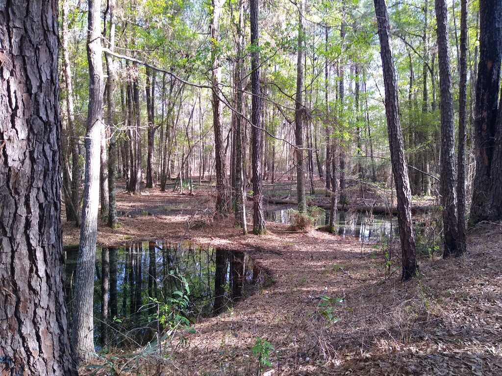
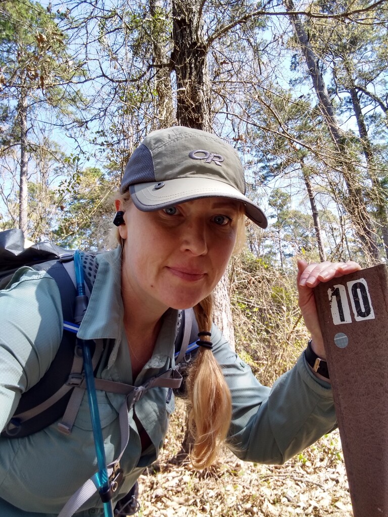
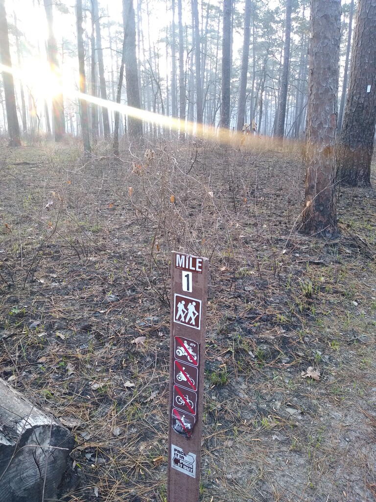

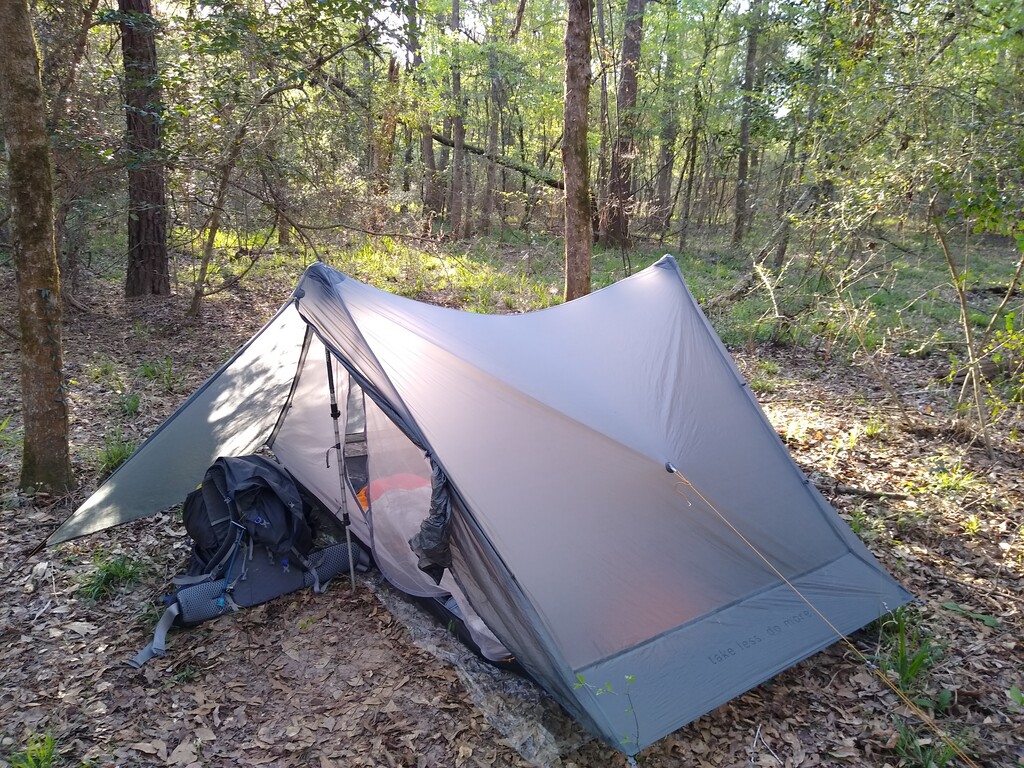
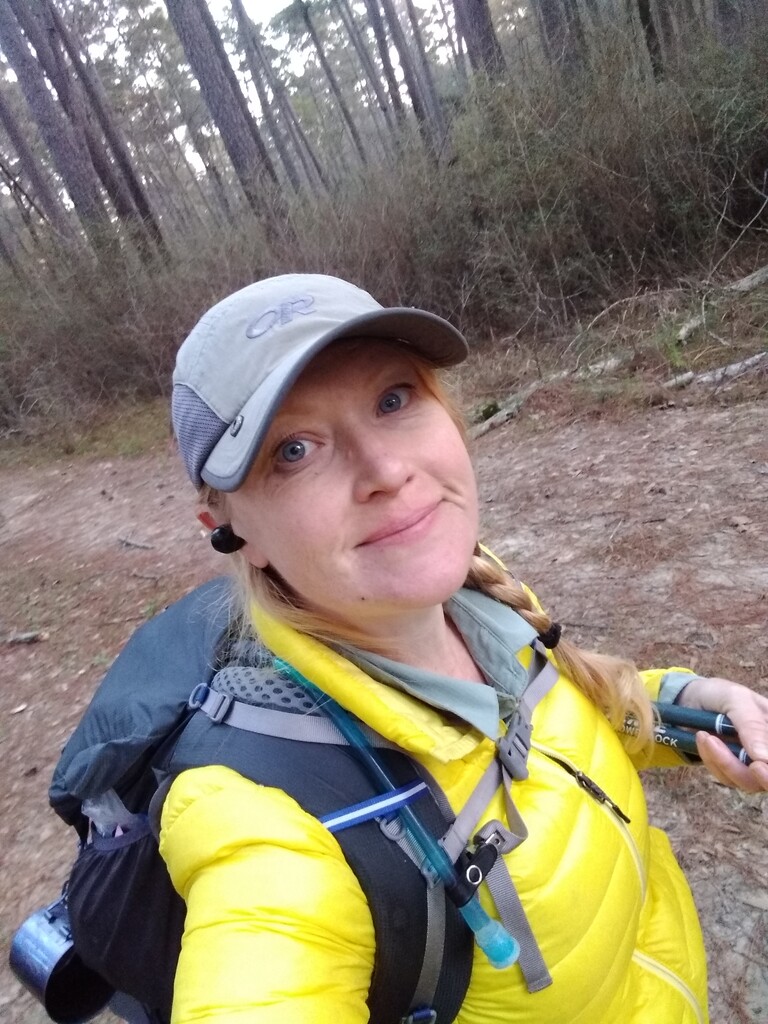
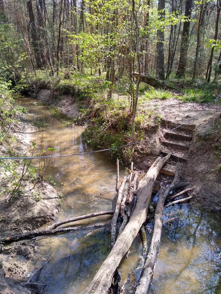

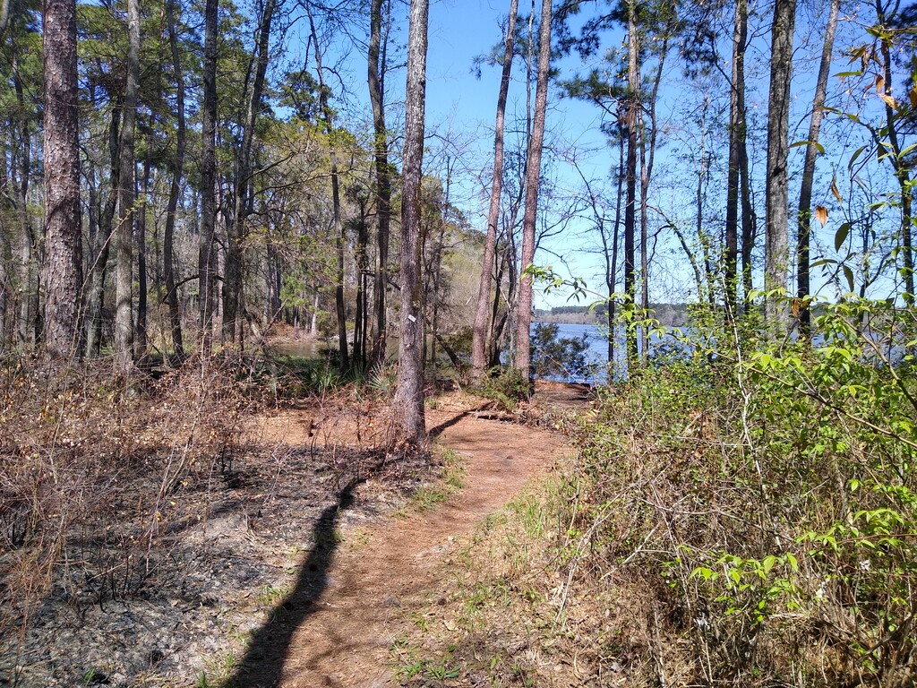
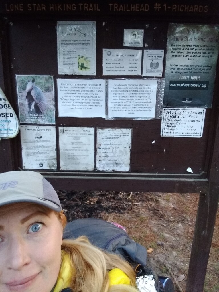

Saturday, March 20th, 2021: I started my eastbound solo unsupported thru hike at 7:34 am central from TH 1. No one accompanied me at any time. My starting pack weight was 26.8 lbs - that includes all food and water filtering devices (Sawyer Squeeze) and my innertube (more on that in a minute). Everything was going great until, full disclosure, near mile 11 the Forest Service forced me off on to a fire break they had dredged for maybe .2 of a mile. It was parallel to the trail - I could see they trail from the break for the most part. If you review my GPS progress, it will reflect that the distance is comparable to the actual trail. I was able to hop back on trail at Osborn Rd in a section that they had finished burning. Unfortunately the FS doesn't announce burns until the morning of so I had to just roll with it. I proceeded to Stubblefield Bridge at mile 20. The bridge was irreparably damaged after Hurricane Harvey so it's actually no longer there. I inflated my innertube (see attached photo), took off my pants, shoes and anything else I didn't want to get wet and packed everything in a contractor bag. I sealed the bag with some duct tape I had wrapped around my trekking poles, sat in my tube, put the bag on my lap, and used my arms to propel myself to the other side of the river. When I reached the shore I celebrated my water crossing by taking the wrong trail for about 20 minutes, as you'll see reflected on my GPS tracker. I doubled back, got back on the LSHT, and made it to my campsite at mile 24.1 near Fern Creek around 6:30pm after collecting water from the last creek on the trail beforehand. At my campsite I used a gallon Sawyer bag to gravity filter via my squeeze and then transferred that in to my 3 L platypus and the leftover in to a 1 liter platypus for use in camp. I disperse camped in a site just big enough for my Gossamer Gear The Two tent. I cold soaked all of my meals on this trip.
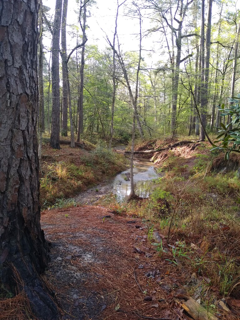
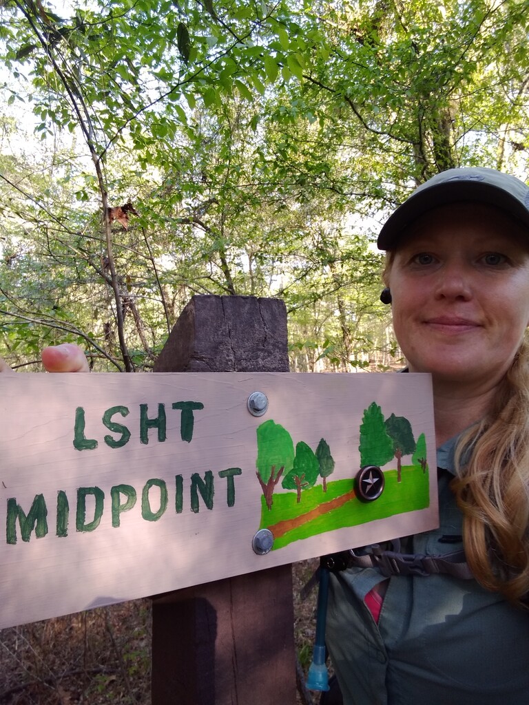
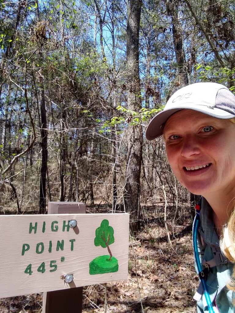
Sunday, March 21st, 2021: I was on the trail around 7:12 am. I had 6 miles of road walk total this day. I hit the high point of 445" elevation after lunch and made it in to camp after hitting the official midway point. I sourced water from Boswell Creek right before I set up camp - another disbursed site - around mile 48.4. The water sources are extremely plentiful but shallow and sandy throughout the trail. I found that back-flushing my filter nightly with what I had left in my Platypus when I reached camp helped a whole lot.
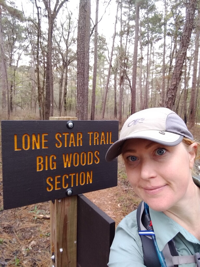
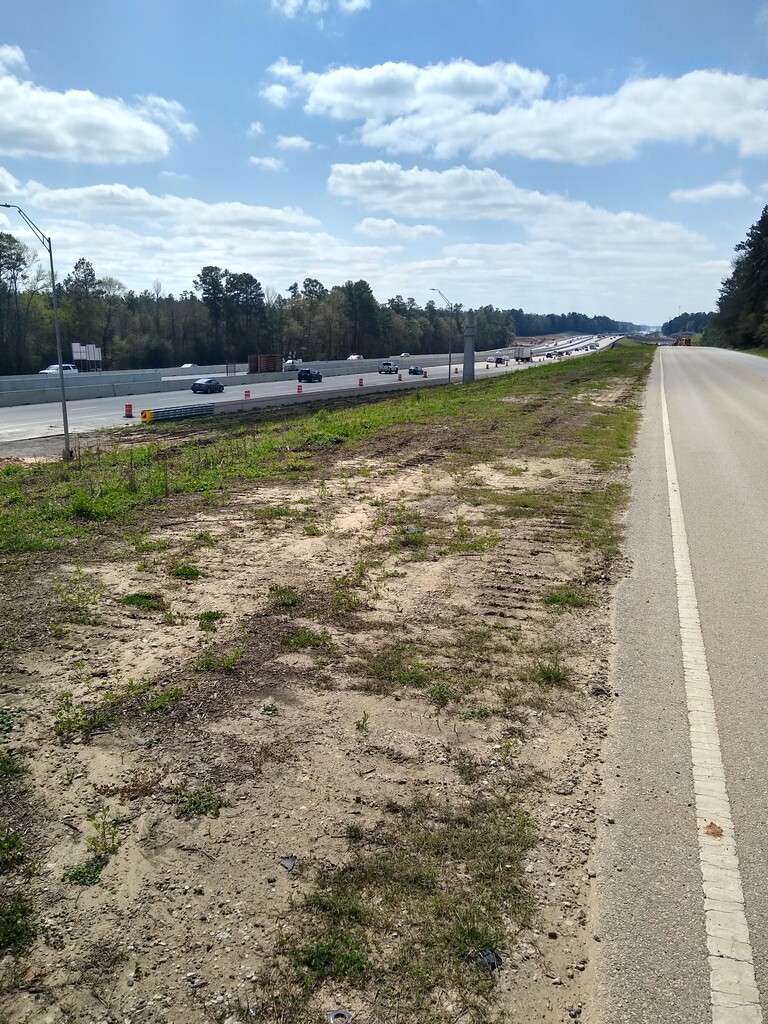
Monday, March 22nd, 2021: I hit the trail at 7:05 am. There were 7.2 miles of road walking on this day. After the first road walk I entered the Big Woods section for a little over 8 miles. Then there was a 4.6 mile road walk in which I immediately encountered some big dogs that have a reputation for hassling other hikers so I was already nervous but the dogs just half-heartedly made noise at me. I got to 945 and was able to safely walk that 2.5 miles in a thankfully dry ditch. At mile 71.1 I took off my shoes and waded across the east fork of the San Jacinto. I made it to a creek at 72.2 to collect water and got in to camp at my disbursed site at mile 72.4.
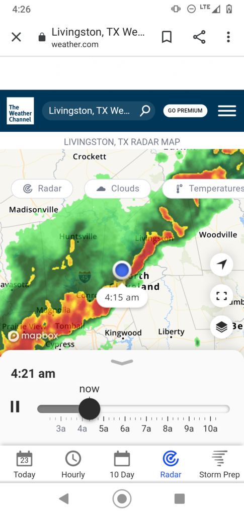
Tuesday, March 23rd, 2021: A loud fast moving storm passed through from 3am to 5am so I overslept a little but was still able to start hiking by 7:34 am. No road walks on this day. I finished the trail at 6:19 pm.