
September 17th 07:58. Standing in Lommel, waiting, ready to hit the trails and head 225 km north on a journey that by car would take 1.5 hours but on foot I was expecting 1.5 days. When the clock hits 08:00 it is time to go, say goodbye my partner, and head off through the town. The first few km are through the town until you come out onto the canal, and the first signs of the Second World War are present, in this case gun bunkers built by Belgium in the late 1930s to try and protect the canal.
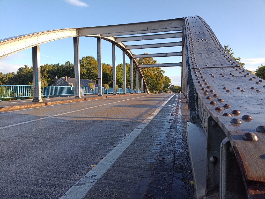
After crossing the canal at Joes Bridge and turning north I came across the first of the places where the physical route markings didn't match the route description from the book (or the updates from the OLAT website), in this case the route used to go straight and cross over the N74 just before the Dutch-Belgian boarder on a busy blind bend but now the route turns off sooner, crosses a slightly less busy road, and rejoins the old route on the boarder.
From the boarder to the centre of Eindhoven passed by easily, brief stop at the Valkenswaard Commonwealth War Graves, diversion in the Malpie where they have erected a fence across the path, and a stop at Aldi in Valkenswaard to pick up breakfast. I know these routes well, at least as far north as Son I can do without looking at a map, an easy way to start at least.
As the route passes through the Eindhoven University campus there was another diversion thanks to construction works, but I took the chance to use one of the public water taps and refill my bottles, while the weather was fairly kind, just a few showers and not too warm, always good to keep the drinks stocked.
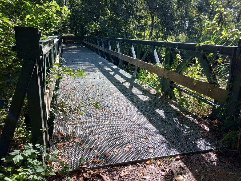
Leaving Eindhoven there are the odd glimpses of the past, a small bridge over a river made from Bailey bridge, easily overlooked if you don't know what it is. Making it to Son at 65km after crossing what was an important bridge in the fortunes of Operation Market Gared the route passes right by a supermarket, so time for lunch, energy drink (caffeine addiction needs feeding), ginger beer and some pineapple.
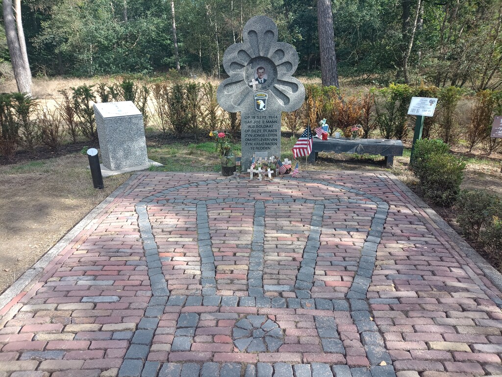
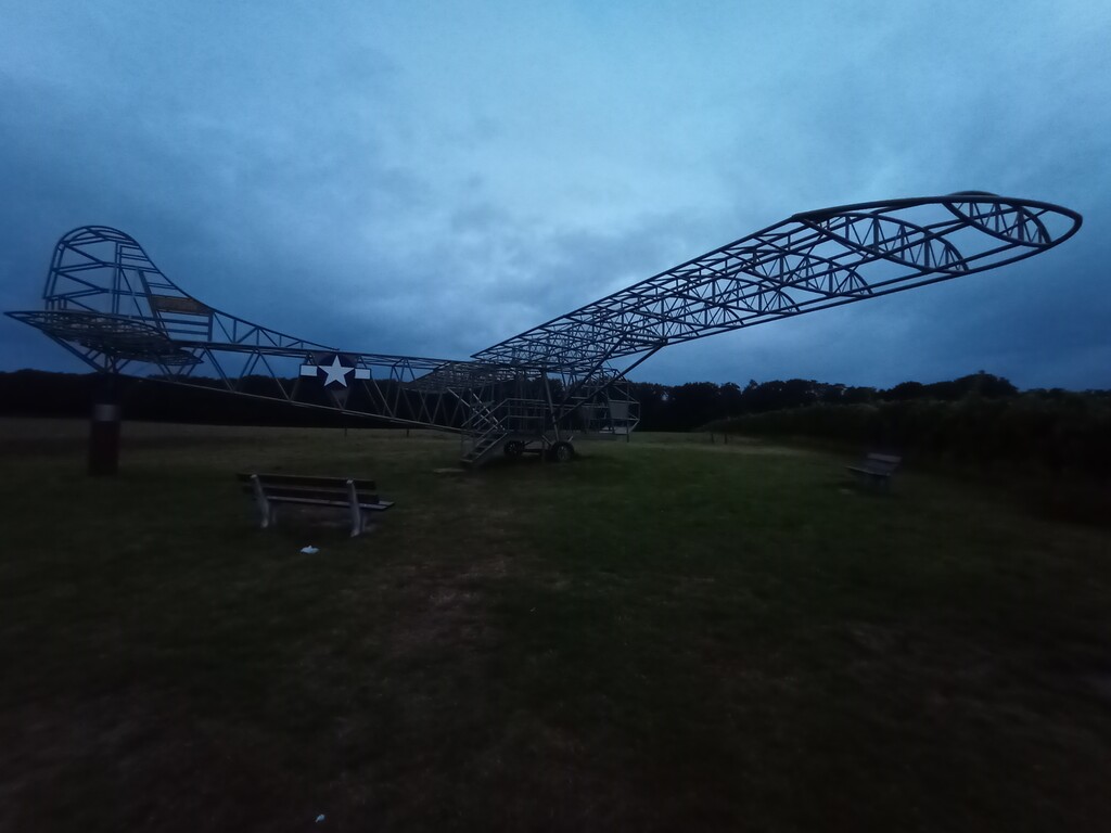
The section after Son is a mixture of nice easy running trails making up the Joe E Mann loop, mixed with some deep soft sand, and the pleasant smell of an animal rendering plant... Bit of a mixed bag! At around 80km there is a small war museum at the Paulushoeve, after which the route cross a couple of fields that have no path. Luckily the crops had recently been cut, otherwise there is an official diversion around.
Passing through Veghel at 100km a slight diversion allowed for a supermarket stop allowed for grabbing some dinner, and stocking up for the night time. The further north you go the fewer public water taps the route passes, so I made sure to carry plenty of water from here on, better to carry too much than run out. This was also just as night was falling, so time to swap the sunglasses for the head torch. As darkness set in so did the tiredness, and at around 125km it got too much. I reached the stage of practically sleep walking and decided it was time to rest, finding a bench in the forest I changed my tshirt for a dry baselayer, pulled my foil blanket out of my bag, and slept for around 45 minutes.
Feeling slightly refreshed I got moving again, still tired, but at least awake. On the way through Grave at 1AM I passed a cafe-bar that was still open, so heading inside the barman and few customers still drinking, while somewhat confused, took pity on me and provided a couple of cups of coffee and a chance to get warm! Much thanks to the people of Ons Cafe Grave for that!
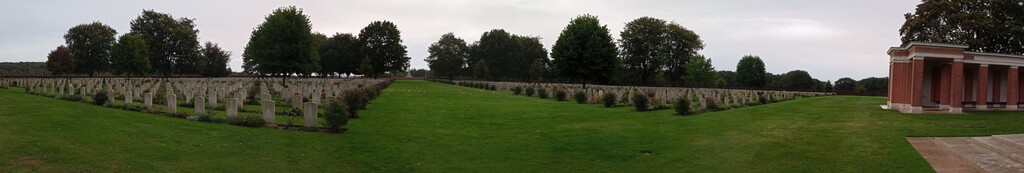
Even after the coffee the night time was hard, and I found that it was best just to walk it out. I know that when the sun comes up I always feel better, so the aim at this point was to just keep moving forward. At Mook I took a brief nap on a bench at the Commonwealth war cemetery, just for a few minutes in the cold air, but enough to pick me up and keep me moving through the Mookerheide and on to morning.
Coming through Groesbeek and passing the Vrijheidsmuseum (Freedom Museum) I thought that one day I ought to actually make the effort to stop and go in, 7:30AM on a Sunday was not the time to do it though, instead carry on going, passed the large Canadian war cemetery, and for a short while joining the Pieterpad on the way towards Nijmegen.
At Beek, after about 25 hours of running, a slight detour to the supermarket for fresh orange juice and still-warm croissants for breakfast was a welcome distraction from the pain I was starting to feel in my feet. Overall the weather had been kind, but the trails were wet enough that my shoes were wet, and my left foot was starting to suffer for it.
For some reason the route makes a convoluted pass through Nijmegen, with some nice cobbled streets to make it fun. This helped highlight the fact that not only was my left foot complaining about being wet for hours, my right Achilles was tightening up and no matter what stretching I did it didn't want to release. At this stage I was committed to finishing, and accepted that my goal of sub-30 hours had long since gone, so relentless forward progress was the order of the day. Get out of the city, back to the trails where I am at home, and most of all keep moving.
At Driel I was treated to the spectacle of paratroopers being dropped just off in the distance, and as I was leaving the town I passed by where they had landed and a group of veterans were gathered, all drinking tea and talking. The temptation to stop and chat was high, but there was a boat to catch and I could almost see the finish line. As it turns out I had to wait 10 minutes for the ferry across the Rijn, but when the alternative detour is 5km down river to the nearest bridge and then 5km back up again, I was more than happy to wait!
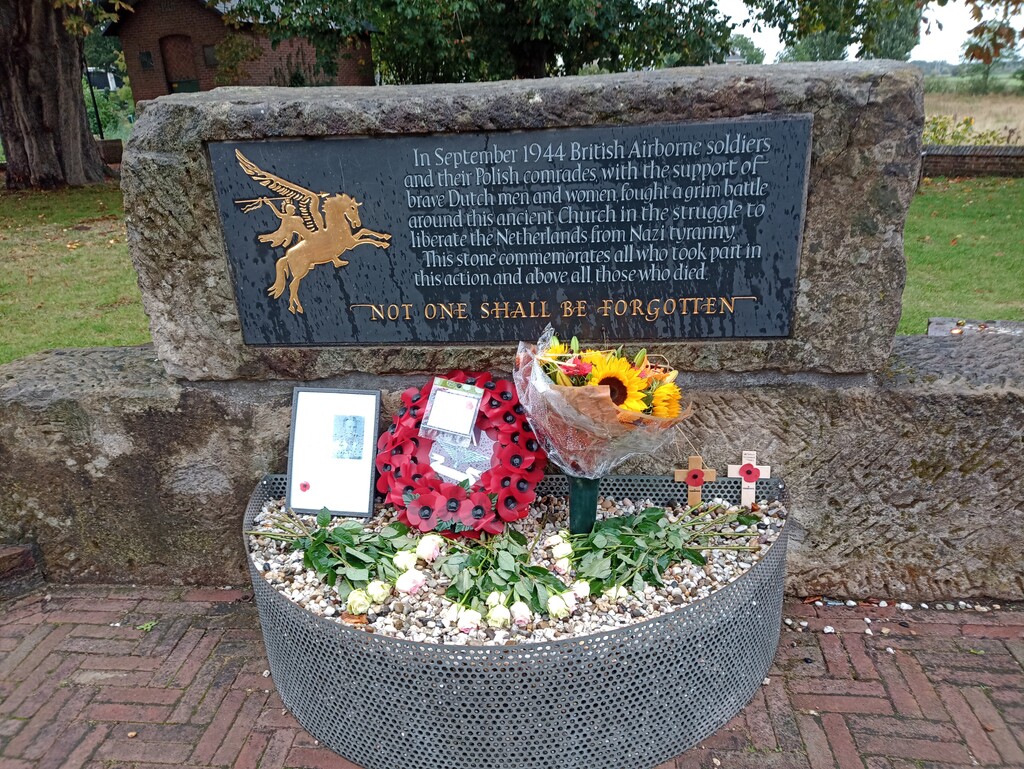
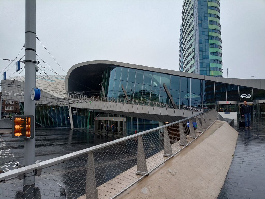
And that was it, passed the airborne museum, and yet another large Commonwealth war graves, down into Arnhem, making a loop around the centre, and on to the train station and the finish line. 32hours, 44 minutes...
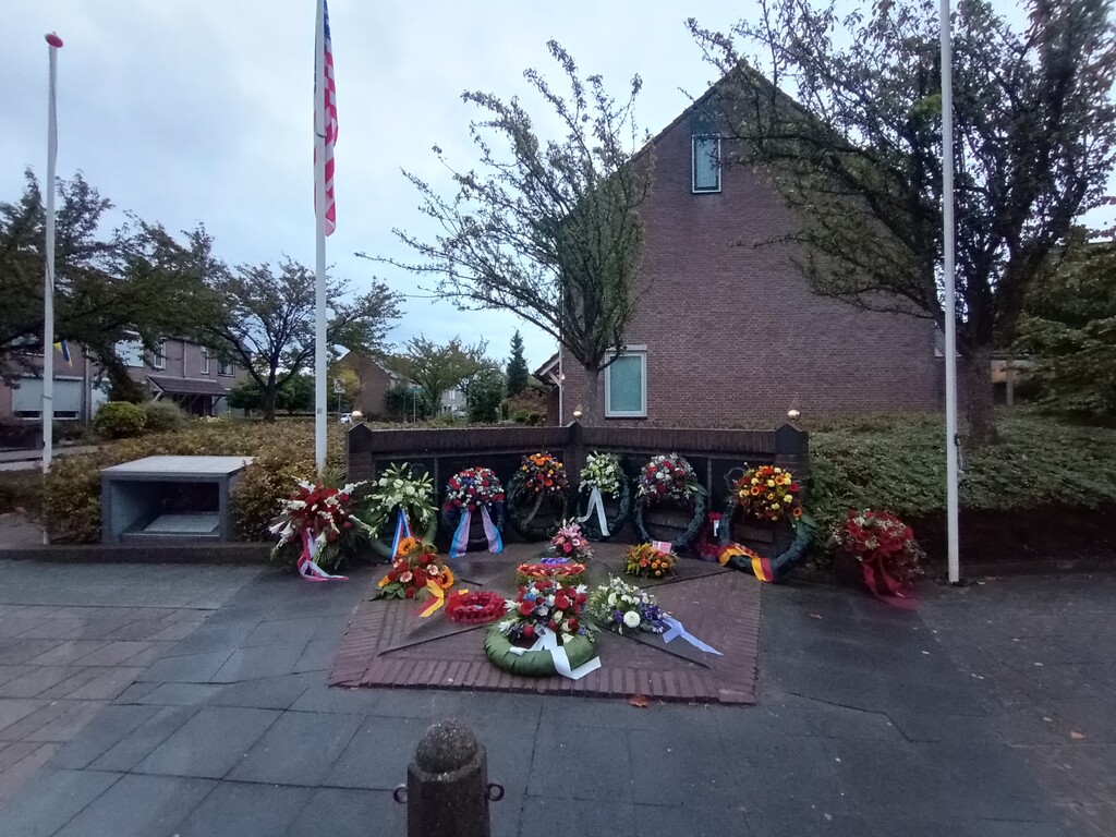
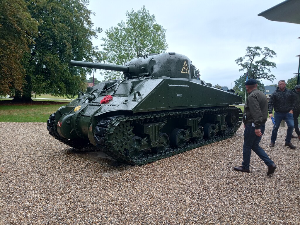
Along the way a few things struck me. A big one was how many of the memorials were to Americans, Joes Bridge in Lommel, Joe E. Mann in Best, and many more. Many of the flags were American, yet the graves that were lined up in row upon row were all British, Irish, Canadian or Polish. I know in part this is because America repatriated the bodies of there fallen, but somehow it seems at odds, perhaps that's just a chip on my British shoulder...
This was my seconds attempt at the route, and at times it certainly felt like it would be a bridge too far. I know I had it easy, and some times it is good to remind ourselves that this really is a walk in the park compared to those that went before.