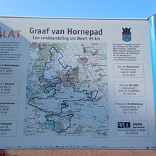
Last Sunday (09/03/2025) I ran the Graaf van Hornepad, a 92km trail around the town of Weert. The intention was not to run as fast as possible, but just to complete the course. I have been having ankle issues, so this was a test before the main A races of the season.
The guidebook for the route is now in it's 6th edition, and there are a number of GPX tracks available online, but none officially from OLAT who maintain the route. Because of this I actually got the route book in advance and made my own GPX to use for navigation from the guidebook (https://www.plotaroute.com/route/2851040?units=km), which has quite some diferences from the version listed on FKT, and as I would find out, some differences from what is actually sign-posted on the route.
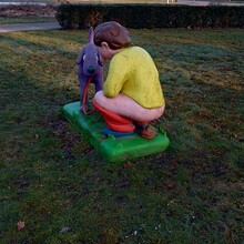
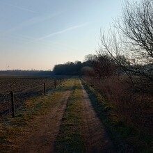
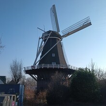
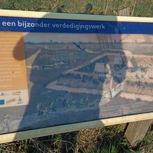
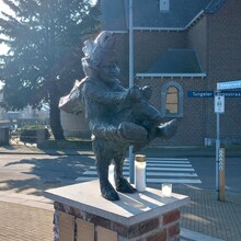
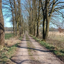
Starting at 7:56AM at the train station in Weert the first 5km is on the roads getting out of the town, past the statue of the pooping man (your guess is as good as mine on that one), before turning into sand roads, and finally trail. While it was a bit cold at the start of the day, it was soon warming up and it was predicted to hit 20c in the afternoon, which is really warm for so early in March! Through nature area De Krang into the village of Swartbroek, where I took the chance to take off the extra t-shirt I had started with, before continuing onto the Ellbugg nature area, and the remains of a small fort from the 80 years war (so late 16th early 17th century.) The next few kms were easy running on mostly trails and sand roads until the village of Tungelroy, this time a statue of a man riding half a donkey. (The "Bokkeriejers" is the carnival organization for the Village).
From Tungelroy the route passes through the Tungerwallen and some lovely soft sandy areas that are great for pulling energy from the legs, into the village of Stamproy. At this point I am already wondering if the 2 litres of water that I had with me was going to be enough, so looked at the map of public water taps in the Netherlands to see if I would pass anything, and I would, but not for another 30km when I was passing back through Weert again. At least I knew there would be an option.
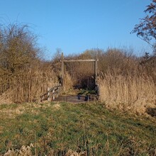
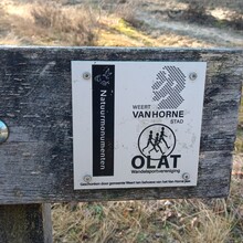
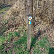
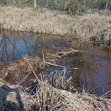
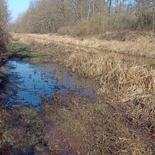
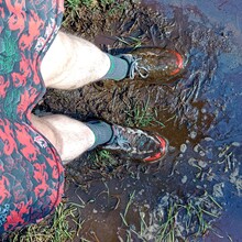
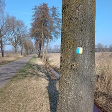
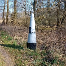
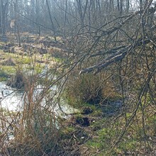
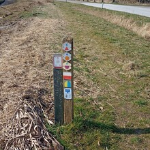
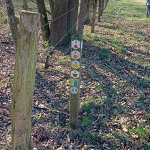
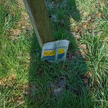
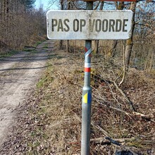
Crossing the border into Belgium and along the Lossing stream where the beavers have been busy things started to get wet, and while not very muddy it was certainly enough to soak the shoes and make the feet wet. From here it follows along the border for a while, back into the Netherlands, and then at around 43km the first major piece where the route from the book and the markings on the ground didn't match. Instead of passing through the Wiffelterbroek where it seems there has been some work in the forest, it heads north, picking up the road and then looping back towards the south-west again to rejoin the original route. There were some signs, but at one point it wasn't clear so I headed along the stream, the "Raam" to try and rejoing the GPX, only to find it completely overgrown and flooded, so had to back-track and go a different route, eventually finding that welcome yellow and blue sign again.
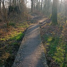
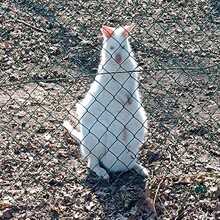
After another 18 or so km of pretty uneventful trails (except passing a mob of albino wallabies), with just the minor deviation from the route here and there I reached the Ijzeren Man in Weert. Here I was seriously tempted by an ice cream at the kids play area and petting zoo, but it was reaally busy (unsurprising given the warm weather) and the queue was long, so I gave up on that idea, instead settling for making a detour to the public waterpoint by the Nature and Environment Centre to at least get some fresh cold water. A couple of kms of tarmac to get through the outskirts of Weert and back to nature again, and starting to suffer from the heat of the afternoon. I was probably the only person out wishing for the sun to start setting and the temperatures to drop.
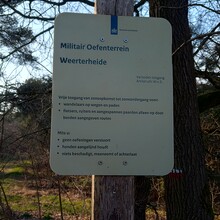
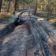
Before entering the military training area of the Weerterheide I was forced to make a short stop to use the restroom at 't Blaakven, but in the spirit of running unsupported refrained from stopping for a cold drink, as tempting as it was seeing all the people on the terrace beer in hand!. Being a military training area the trails in the Weerterheide do I get very damaged by the big vehicles so it was slow going at times, but after clearing that it started to feel good again, I think a combination of the cooling temperatures and knowing it was less than 20km to go at this point made it easier to start to push the pace a bit more.
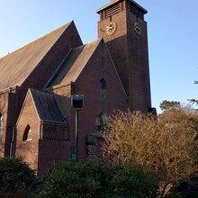
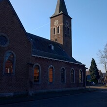
Passing through Laar, where in theory there is another public water tap by the large church, but I didn't find it, and back into Weert the last 7km or so are all on roads. Easier in many ways, but you feel the extra impact on the tired legs. After seeing the sites of Weert it's back to the train station and done in 10 hours, 38 minutes and 21 seconds, average pace of 6:40 per km. In some ways I am dissapointed with the time, I know that under 10 hours should have been possible, but considering the fact that 6 weeks ago even walking was painful due to tendon issues in my ankle, to have run what turned out to be 95 km without pain has to be taken as a good thing. Maybe I will try again another day, but it's a mark in the sand at least.


