Friday afternoon, 16:21, and it's time to get moving, leaving Sart-Lez-Spa and following the Ultra trail des Sources from extratrail.be. This is a 157km permanent marked trail that links together 7 areas of the Ardennes with the common theme of them being water sources.
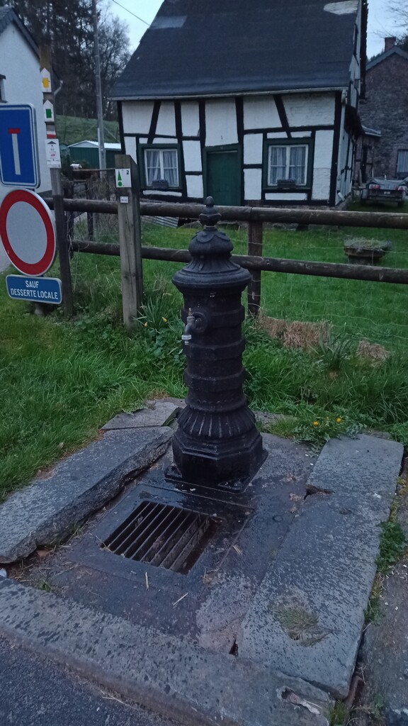
The intention was to run solo, unsupported without any shops, cafes etc. The issue is that while the UTDS goes through places famous as natural water sources (hence the name), public water taps in Belgium are few and far between. As far as I am aware there are no public water points anywhere on the route that are actually marked as safe to drink, so that meant a heavy backpack.
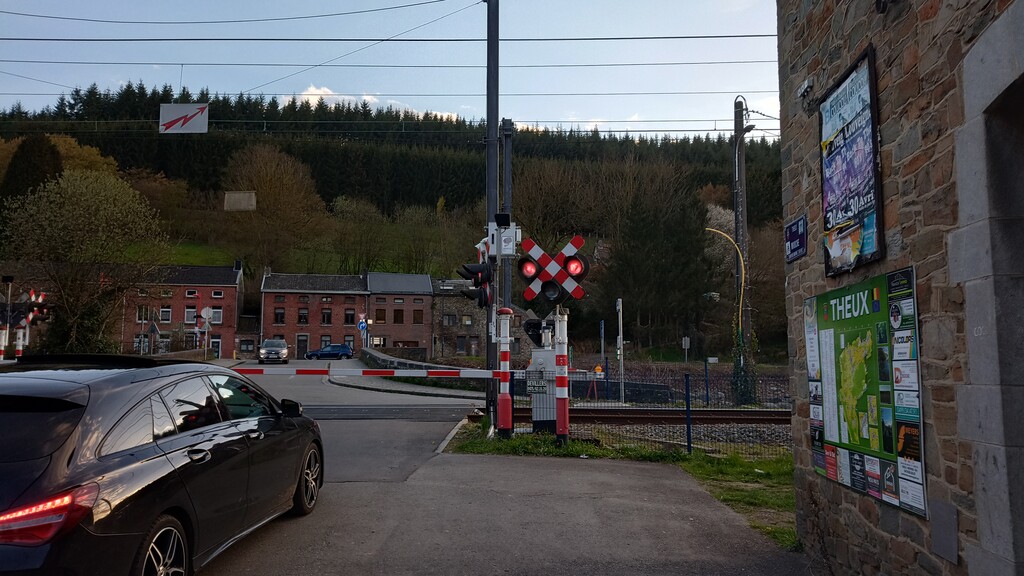
The weather was set to be pretty good, dropping to about 3c overnight, but for the most part dry. The first section went well, I have run a lot of the trails before, so was familiar territory for me, other than getting stuck at a level crossing waiting for a train, and a herd of young bullocks wanting to play, it was pretty consistent run/walk. At about the 40km point it was getting dark, so stopping to get my headtorch from my bag was a good chance to have something to eat (currant bun with cheese) and get my jacket on, preparing for the night time.
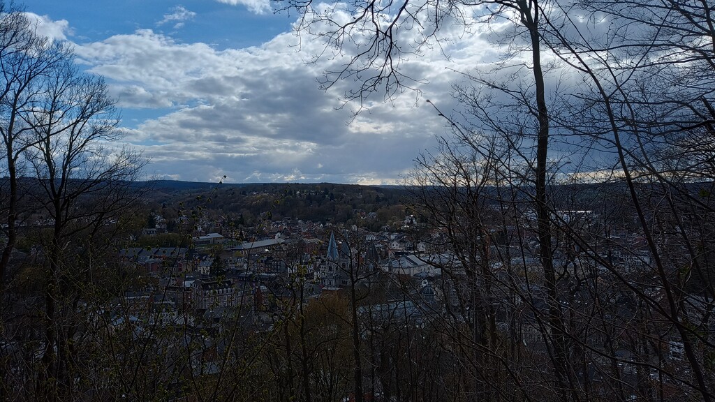
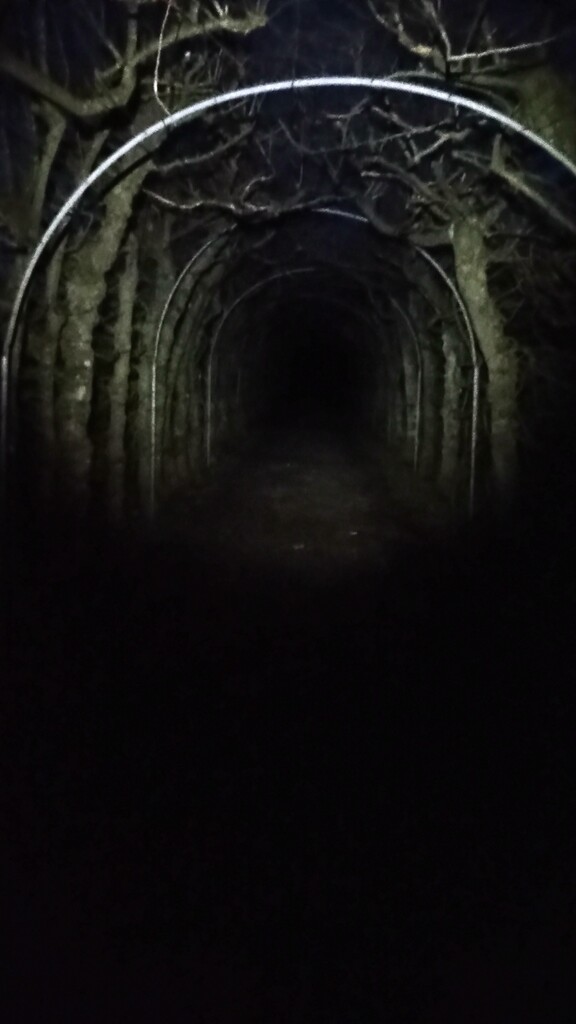
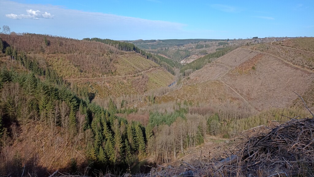
One of the things I have seen a few times now, but somehow only in winter, is the La Charmille du Haut Marêt, a 570m long arbour of hornbeams. I really must make the effort to go back in the summer one day... or at least the daytime! From there, through the forest to the Ninglinspo river, which is always fun. At least at night there are no tourists! From here on it is pretty much business as usual for the Ardennes, lots of forest, a good amount of hills, passing through small towns like Stoumont where there isn't much at the best of times, let alone in the early hours of the morning.
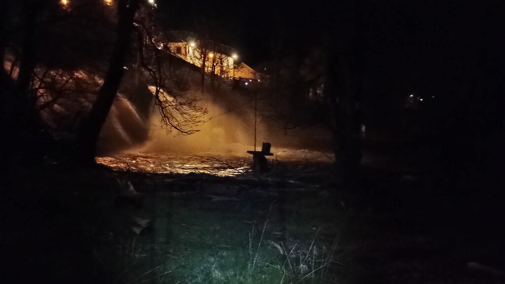
One thing I am always aware of in the Ardennes, is the large amount of wild bore in the forests. Luckily, touch wood, I have had no serious encounters with them, and I would like to keep it that way. So running along the side of the Amblève river heading into Coo I was suddenly aware of something running towards me down through the trees, when everything else runs away. My sleep deprived brain put 2 and 2 together, came up with 5, and for a brief moment I was sure it was a bore coming at me. Thankfully no, it was a beaver, that passed behind me by a couple of meters and gently disappeared into the water. Certainly woke me up!
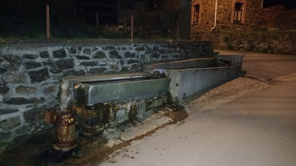
Getting into Coo marked roughly the halfway point, so a good time to sit, have another currant bun, and repack a few things in my bag, swapping empty water bottles with full ones. I also realised that I had drank well over half my water, and was yet to find a refilling point, so was starting to think maybe I will have to give up on the idea of running unsupported and resort to shops when places started to open in the morning. As I was leaving Coo there was a water "trough" for want of a better word, providing spring water. Now, eaupotable.info didn't have it marked as being safe to drink, but at the same time there was no sign saying it wasn't safe to drink, and looked clean, so I decided to risk it... Perhaps not the most sensible idea without something like a lifestraw to filter it but oh well, refilled the empty bottles, and crossed my fingers.
More of the same for the next few hours, trees, forest tracks, hills... Getting into Stavelot the sun was just starting to peak over the horizon, it's always a good feeling when you can turn off the headtorch, I find it gives a real boost of energy.
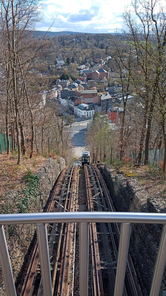
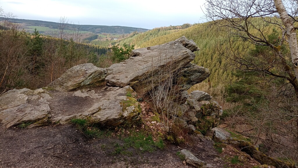
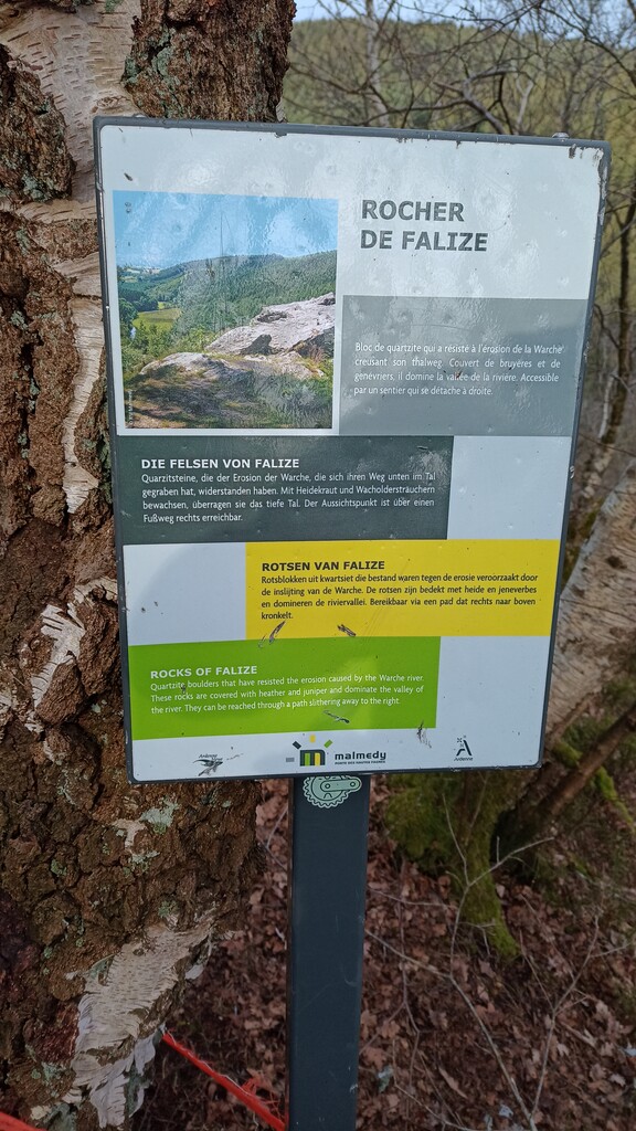
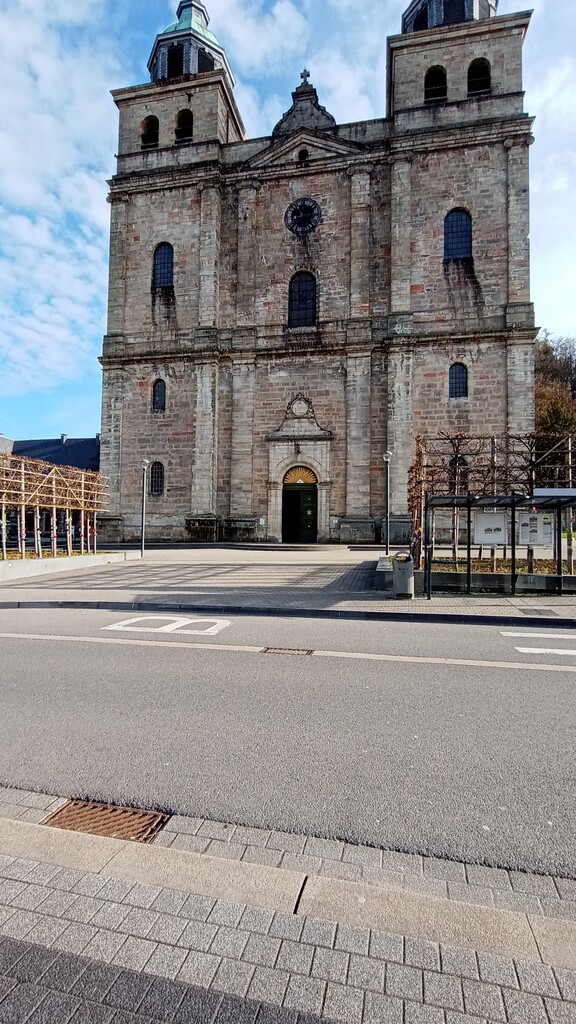
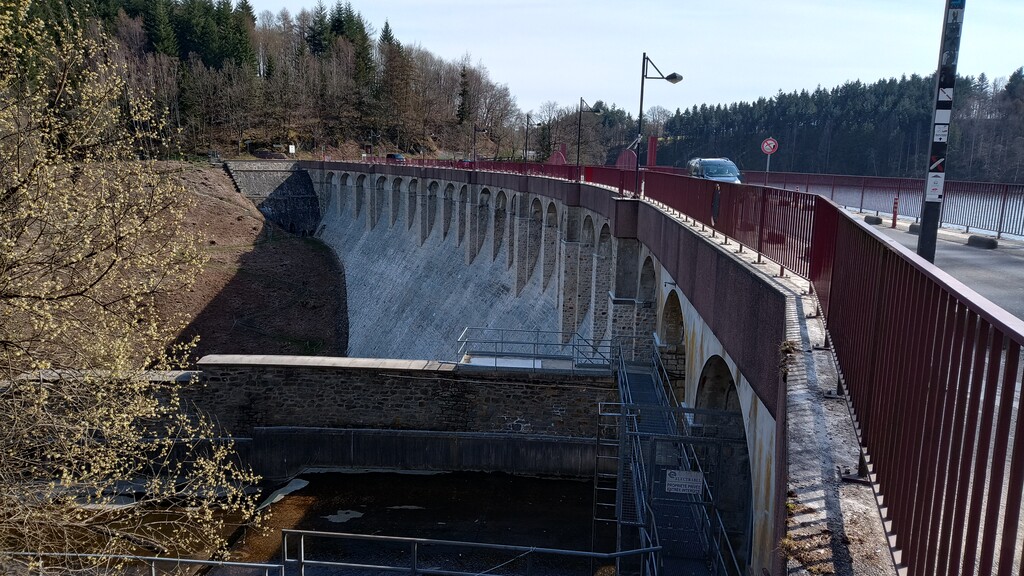
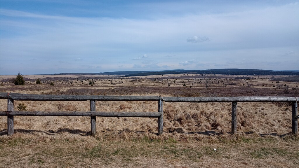
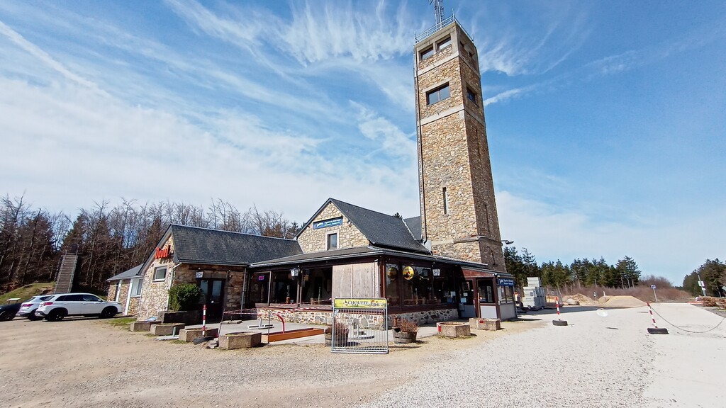
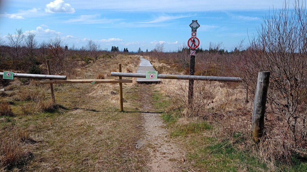
A couple of decent climbs, dropping down into Malmedy, and then back up to the top of the hill overlooking the town. This really felt like the last part now, I have been here many times, raced these trails only the week before. Time for breakfast, then a fun trip across those well worn paths down to the Barrage de Robertville. By this point it's mid-morning, the sun is shining, it's looking to be a nice day. This also means that the trails are getting busy! Make use of the public toilets at the barrage, and then set off for what I know is the last real climb, but a long one, 7km of gentle uphill to Le Signal de Botrange, the highest point in Belgium on the "high fens". Forgoing the temptation to stop and have some coffee at the café, I carried on, only once in my attempts to avoid hikers stepping too far off the trail and sinking to my knees in the mud, well it is a fen after all.
I had thought this would be the easy piece, 18km to the finish, almost entirely down hill, and it would have been except that reaching the Hoëgne river I realised it was less a path, and more a pile of rocks to pick your way through. With aching legs and tired feet, I was glad to get off the river bank and with 5km to go it was an easy run back down into Sart. 22 hours, 45 minutes and 4 seconds on the watch.