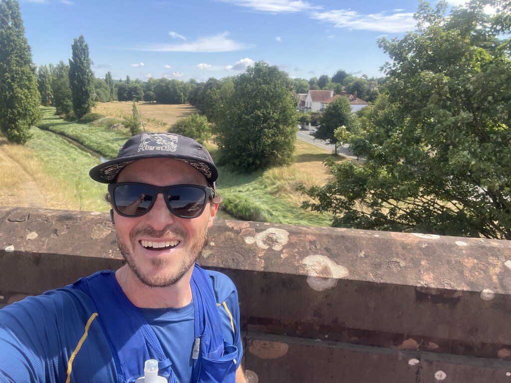
After having had my eye on it for a while, I decided to give the route a go after a bit of a heat wave broke and we got a few days of cooler weather.
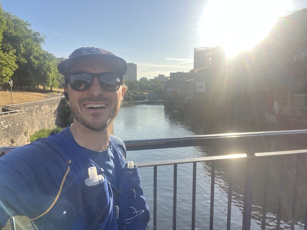
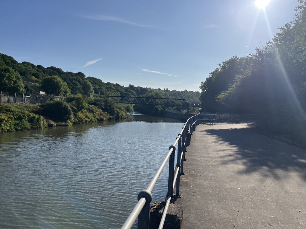
Took a leisurely jogging commute to start the route at the standard Castle Park starting point (at least the previous FKT started in a different spot, I don't think that it would meaningfully affect the route).
I didn't succeed in finding satisfactory public water taps when I did a few recce runs, so I just carried all of the water I needed. I ended up getting by with 2 liters (1.5L Skratch, 0.5L H20), and otherwise basically just ate a bunch of jelly babies, giant strawbs, and a Precision gel I found in the back of the snack drawer. Could have benefited from eating a bit more, typically.
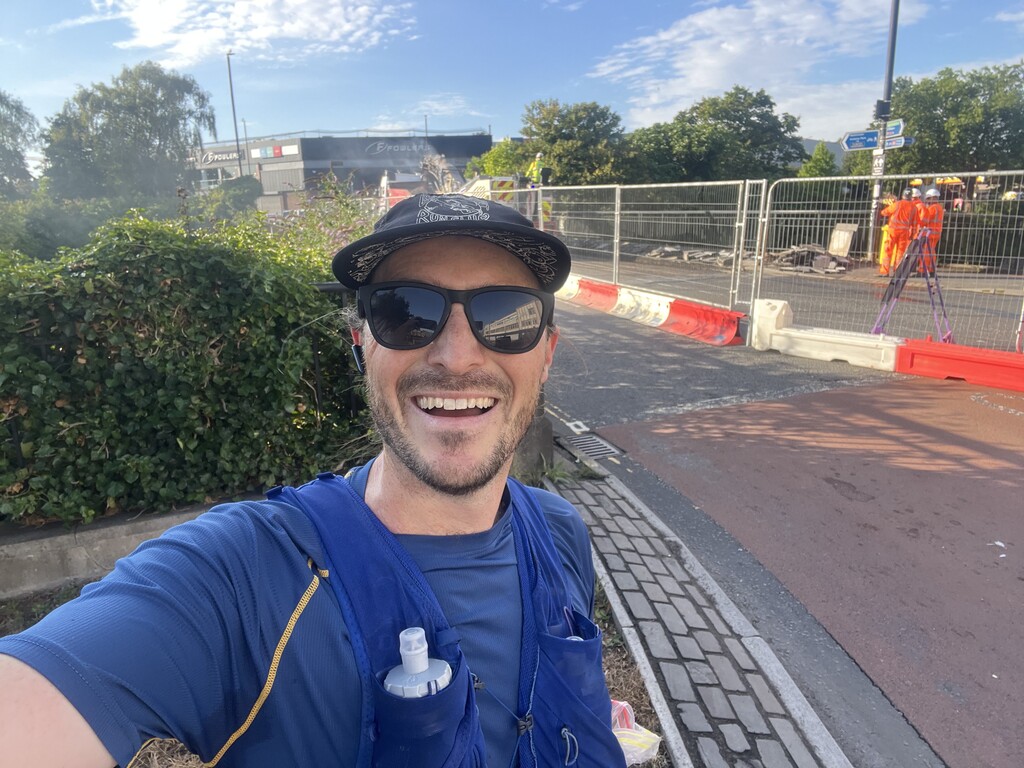
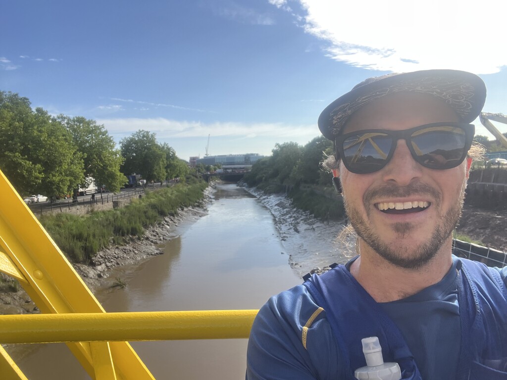
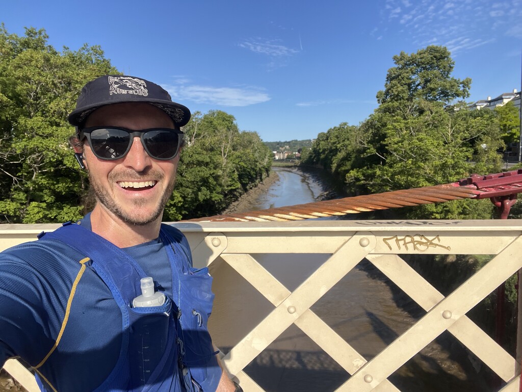
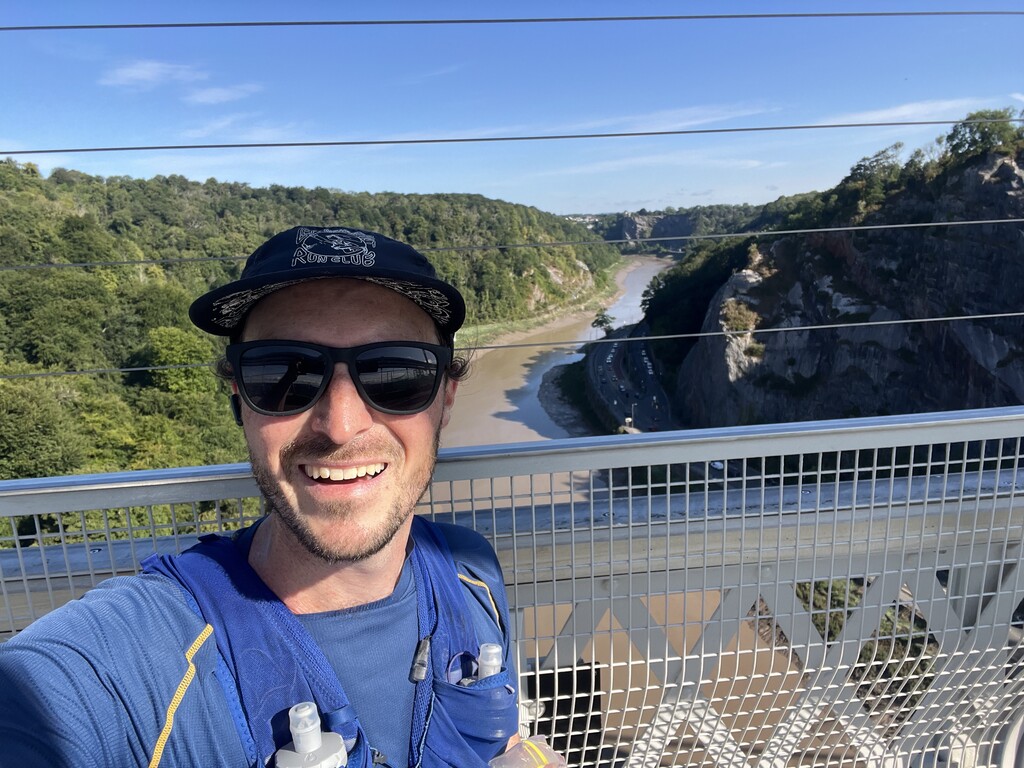
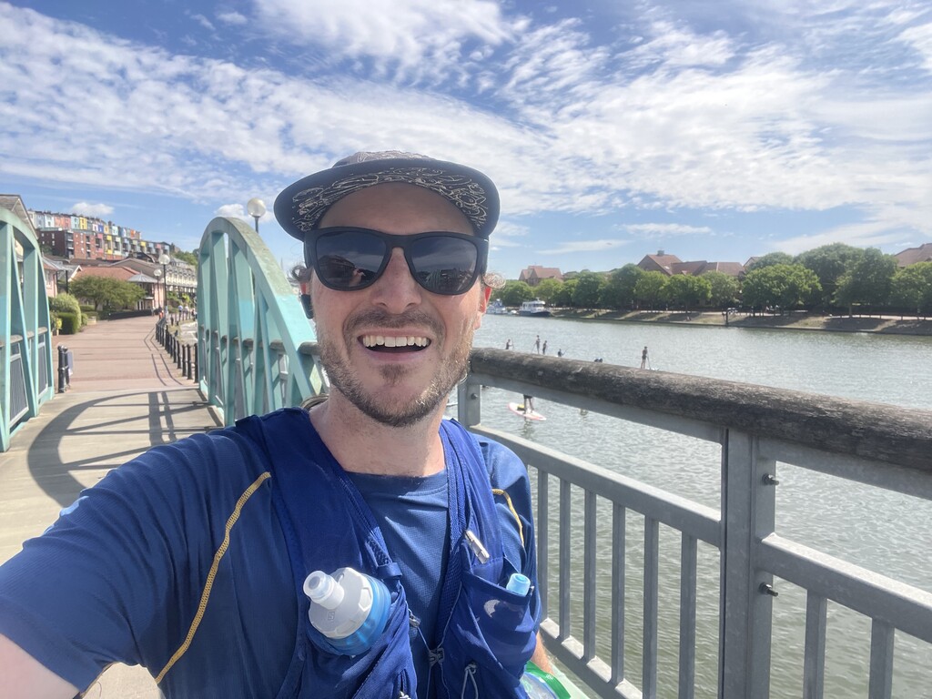
It was a relatively uneventful run overall. The weather felt hotter than I'd hoped, and I didn't feel as energetic as I hoped, but I was able to just grind it out. Nothing really came of my hope to make up time once I made it over the Clifton Suspension Bridge, but I'm happy enough with the effort.
I thought that this was fun to do! People should come do it faster.
This route is always subject to bridge closures, and they change pretty fast. In the big picture, I chose to generally try to stick as close as possible to the "official" route advertised by the Bristol Civic Society, even when that meant not sticking to the principle of the route as a solution to the Konigsberg problem (e.g. I didn't try to design a new solution to the problem that took into account the bridges that were closed--this mainly meant that I crossed several bridges in both directions). When bridges were closed, I made sure to run as close to the end of the closed bridge as I could. My planned route was estimated in Strava at a bit longer than the standard route/the previous FKT, and was measured accordingly by my Garmin. Here is a sketch of the closure situation today and an overview of how that affected my route:
Bridge 7 (Bath New Bridge/Bath West) closed (to pedestrians--it looks like one lane of cars is still getting through) like two days ago. I went out and back on Bath East and tagged the end of Bath New Bridge.
Bridge 9 (Brocks Bridge) remains closed (there was construction work actually happening on it, so apparently this isn't forever?). My route took me by the end of it.
Bridge 10 (St Phillips Footbridge) is open from the east side, but the way out is walled off on the west side. I ran out and back across the bridge.
Bridge 11 (Temple Meads Relief Line) recently reopened; however, crossing it would have put me on the wrong side of the Avon for the route ahead, since Bridge 12 (Sparke Evans), which would return me to the north side of the Avon, is still closed. Accordingly, I went out-and-back on Bridge 11 so I could stay on the north side.
Bridge 12 (Sparke Evans) is closed, but I've heard rumblings that there has been real progress on it and it may not be too much longer before it reopens. My route took me by the end of it.
Bridge 20 (Feeder Road Footbridge), which has been closed for a while, seems to have very recently reopened. I was able to use it and follow the standard route along Feeder Canal.
Bridge 23 (Banana Bridge) is also newly reopened.
Bridge 27 (Bathurst Basin (East)) closed a few months ago. I went out-and-back on Bridge 28 (Bathurst Basin (West)).
Bridge 30 (Vauxhall) is closed, so I went out-and-back on Bridge 29 (Gaol Ferry Bridge) so I didn't get stuck on the wrong side of the Avon.
I intended to add in the Howard Lock Bridges (after Bridge 35: Plimsoll), but was surprised to see that the West Howard Lock Bridge has been closed since I recce'd it a few weeks ago. I went out-and-back on East Howard Lock Bridge.
In summary, bridges that I did not cross due to closure:
7. Bath West
9. Brock's
12. Sparke Evans Park
27. Bathurst Basin (East)
30: Vauxhall
And bridges that I crossed out-and-back on out of necessity or to compensate for other closures:
8. Bath East
10. St. Philip's Footbridge
11. Temple Meads Relief Line
28. Bathurst Basin (West)
29. Gaol Ferry Bridge