
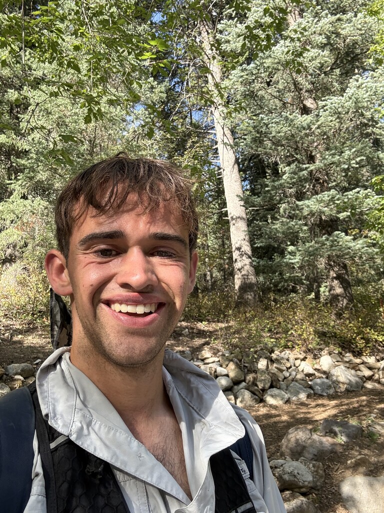
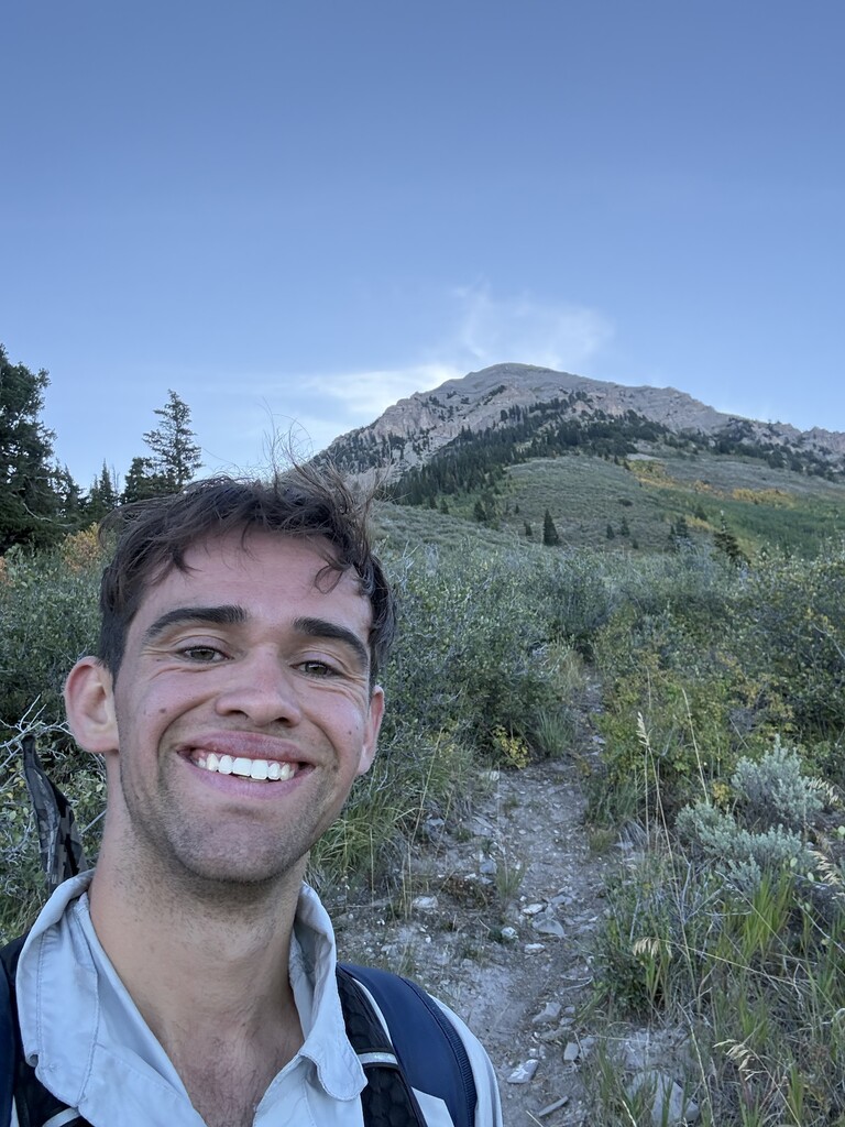
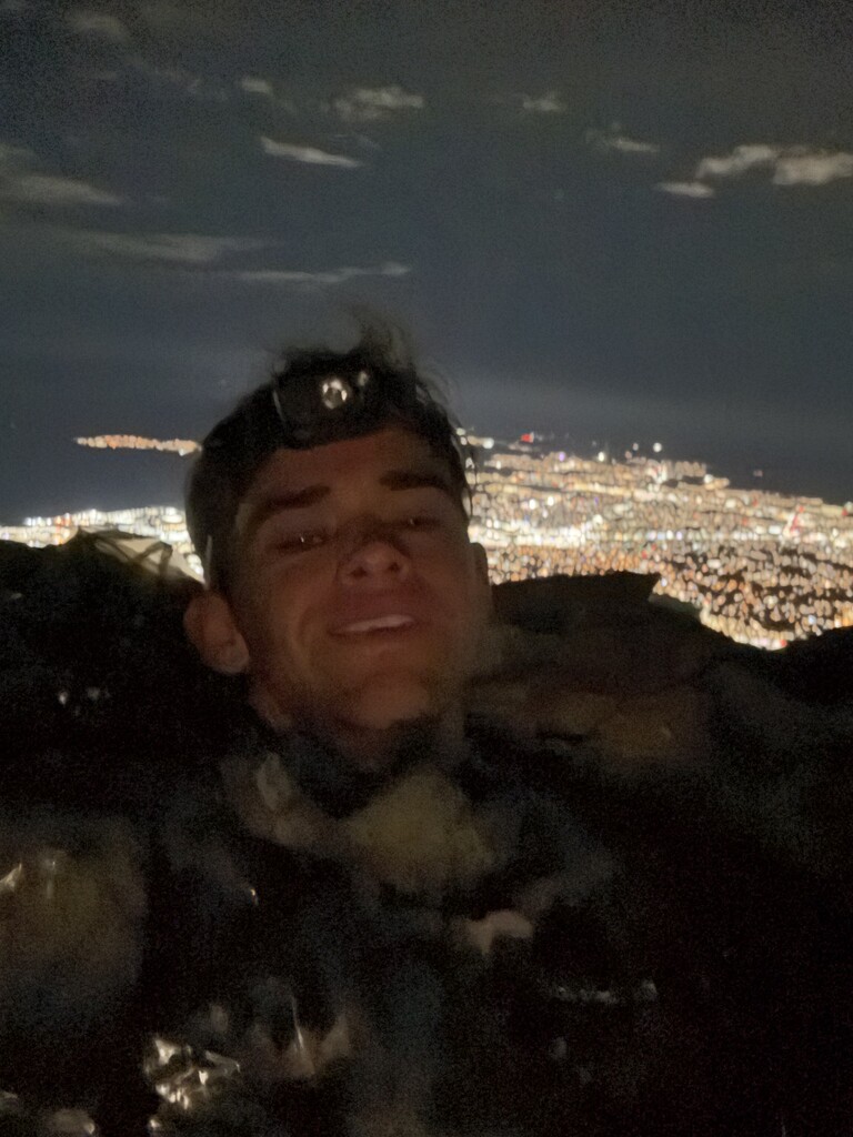
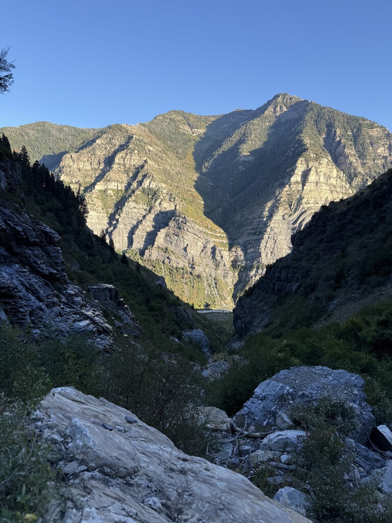
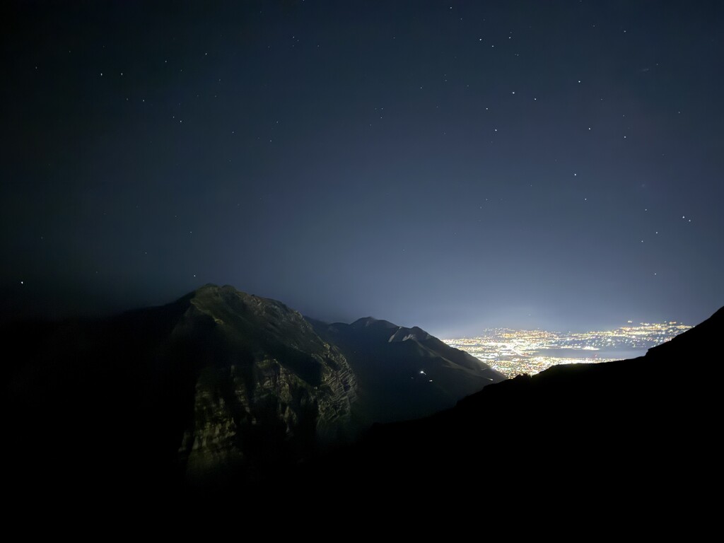
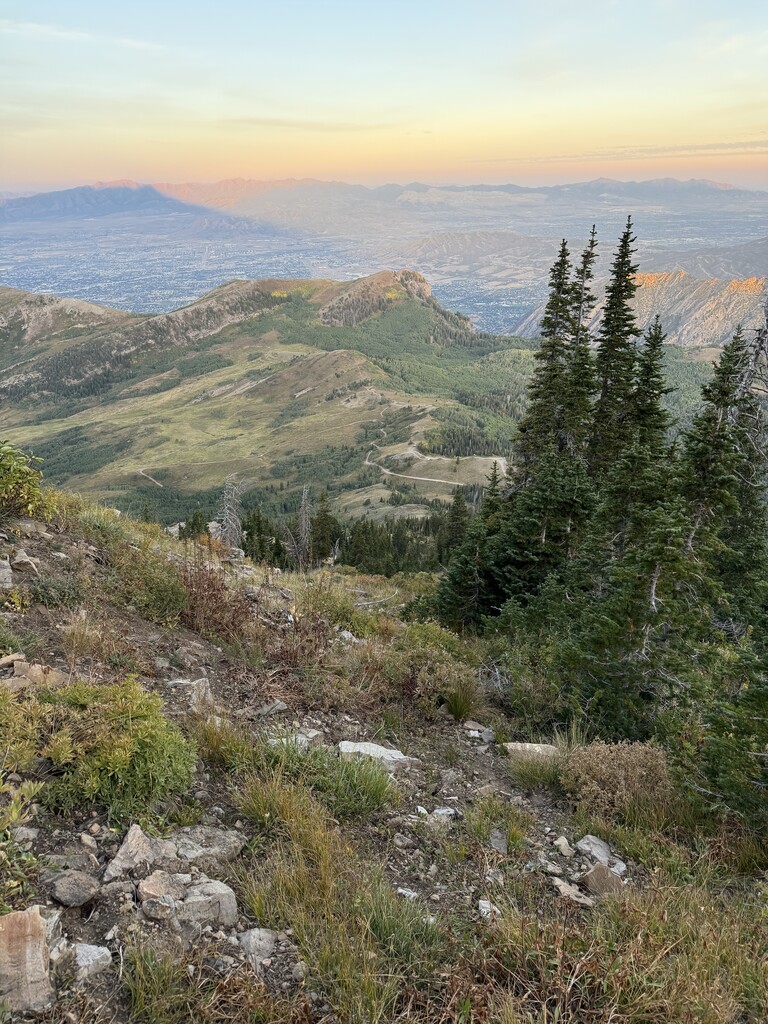
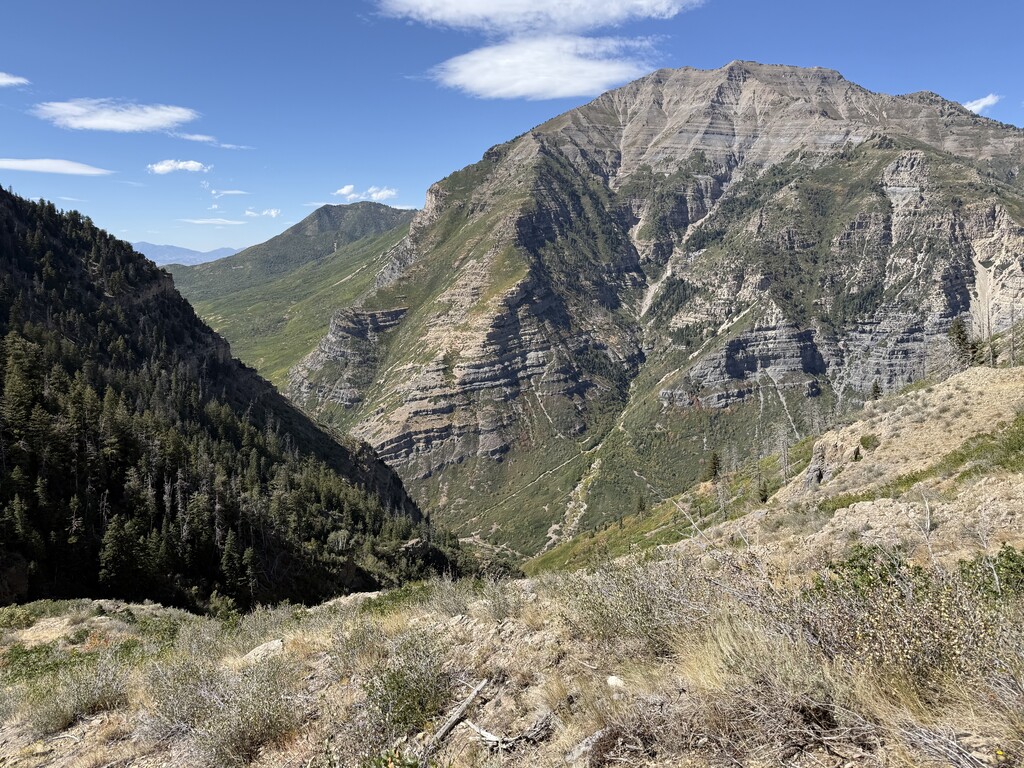
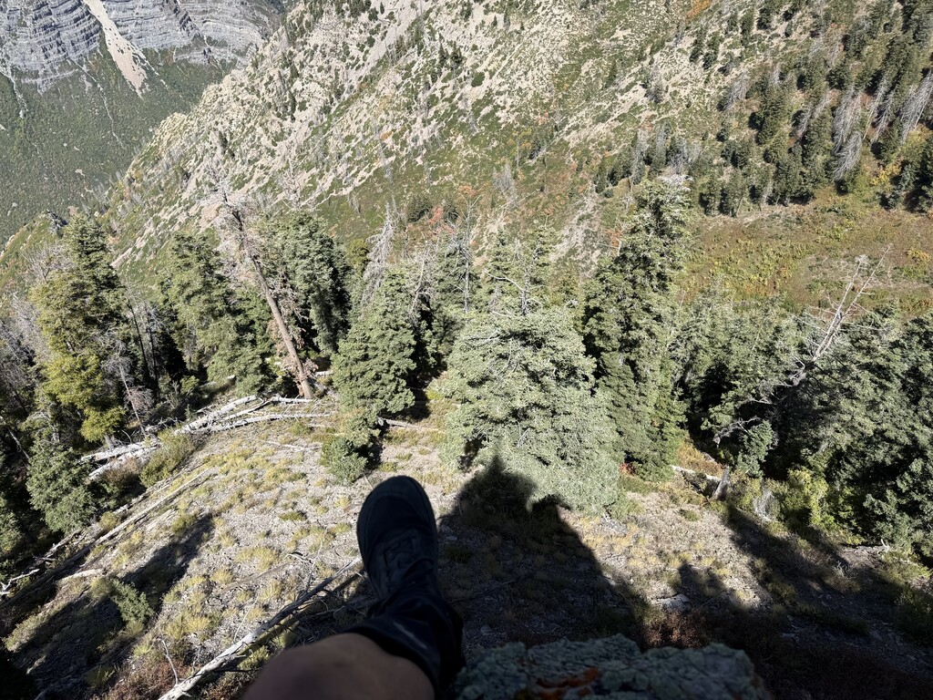
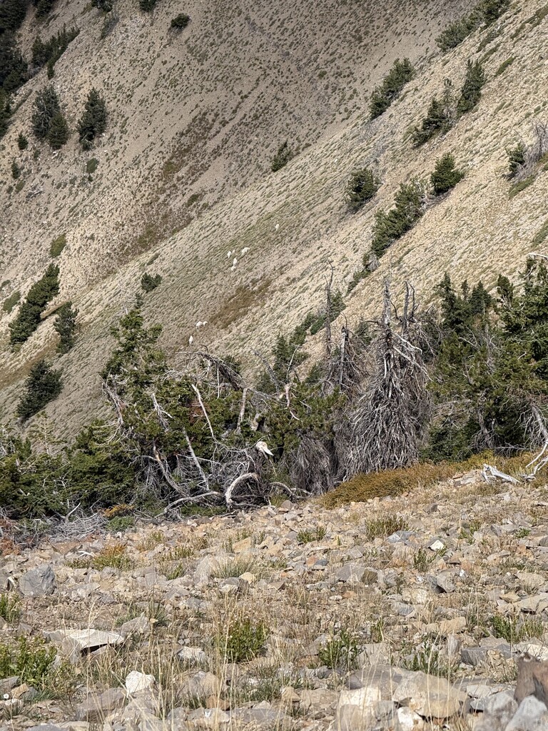
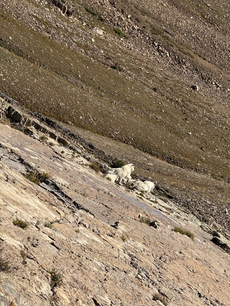
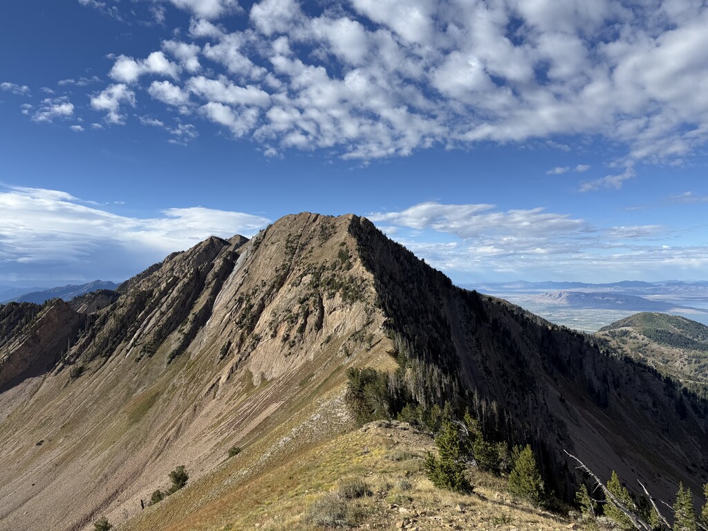

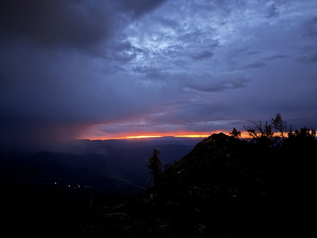
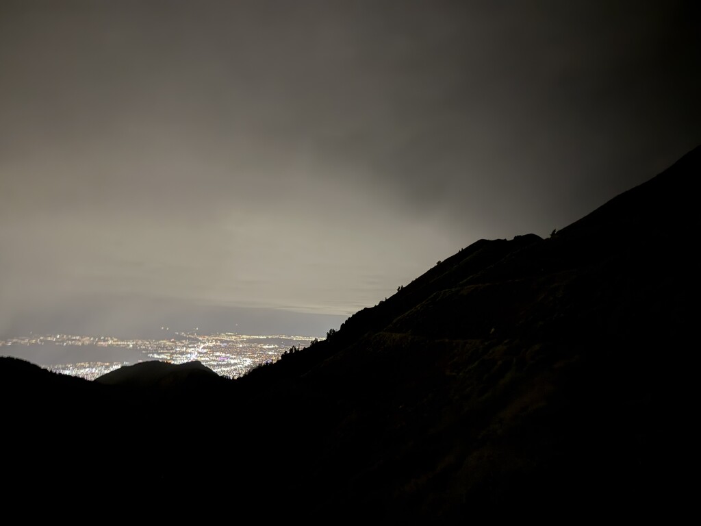
Wow this was a crazy journey. First hour had some crazy rain, but luckily died down. Nothing too eventful for Provo Peak to Cascade except a worsening sore throat. Had 2 liters of water cached at the top of upper pole couloir. Descent down to bridal veil falls was brutal as expected. More cliffs than I expected. I am calling that descent the Bushy Bride. Once I got to the creek it was far more efficient to just walk in the creek. Going down Bridal Veil was chill, except the last hand line was missing. Luckily it wasn’t too crazy to down climb. Had my only food cache at Nunn’s Park. Some raccoon got into it and almost ate all my food. Almost dropped there, but had just enough. Survived off of pickle juice and stale rice after that. First part of lost creek was smooth. The last 2000 ft were hard. Almost to the massif, I took a 10-15 foot fall. These cliffs have a lot of loose rock to be cautious of. Thought I broke my ribs, but a few days later they seem to be just bruised. It affected my speed a lot though as my right arm couldn’t do much, lungs were affected and my sore throat was getting worse. Kept pushing though, had to keep warm. The whole massif was done in the dark. Took a 10 minute nap at the Timp shed in the middle of a few sleeping hikers. Got off the massif just as the sun was coming up. Jogged/sped walk the last 5 miles to Mutual Dell as fast as my ribs would let me. I know 15-20 hours was in my range, but just glad I finished with everything that happened.
Watch Died 23 hours in near North Timp. Here is the data on the photo I took at the end. It was imperative to use my phone’s little battery for navigation and coordinating with my driver.
DateTimeOriginal
2026:09:12 09:45:43
GPSLatitude
40 deg 26' 48.12"
GPSLongitude
111 deg 38' 41.19"
GPSAltitude
1980.39539 m