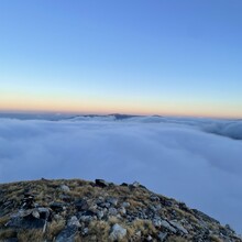
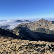
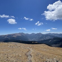
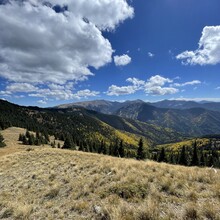
I started from the El Salto/Canyoncito trailhead around 4:30AM. Filled an extra 600mL flask at the water source around mile 4. Hit a beautiful sunrise right before Vallecito - super cool cloud layer right below the peaks. Added in Lake Fork Peak for the Halladay variation and headed off towards Wheeler - tried to move as efficiently as possible on the complex terrain there, and was thankful I had done a ring of fire last year so I was familiar with best lines to take. I took a few photos for a high pointer on Wheeler and enjoyed the actual running down to Bull of the Woods (the Middle Fork stream that Jason mentions is seasonal, so I didn't plan on using it).
The Bull of the Woods pond did not look great (no visible running water) but I needed water and filled up all 3 of my flasks for the long section ahead. The Gold Hill climb was tough - sustained and exposed right as the afternoon sun was breaking out of the clouds. The traverse to Lobo seemed to take forever - legs were feeling all the climbing at that point, but there's a decent amount of runnable bench cut trails as well that I tried to keep a jog on. After hitting Lobo I knew it was all downhill - I pushed as much as I felt that I could other than a brief stop to top off my filter bottle at the last water source a mile into the decent (ended up 3rd overall for this Strava segment lol). Hit the Yerba trailhead 11:13:56 from when I had started.
I had stashed a bike before starting that morning, and luckily it was undisturbed. The ride back to my car was not the most fun, but I still suggest it, especially if you're doing this route self supported - it adds nicely to the adventure.
Regarding water: I suggest scouting sources beforehand, and having at least 1.5L of carrying capacity. I carried a 700mL flask (with Katahdin filter), a 600mL flask and a 500mL flask and never ran out of water. I filled all 3 2x - at the last access point for water on the Canyoncito trail and then at Bull of the Woods. I felt that this was a good balance of weight and capacity, and allowed me to be flexible and efficient on my water stops.
Lastly, I want to extend a large thank you to all who have run this route before me - the information and motivation y'all provided was invaluable! If anyone is looking to do this route in the future I'm more than happy to talk strategy/beta. This is a great route, with stunning views, a huge variety of terrain and a lot of climbing :)


