Wish I had time to write up a full trip report, but I'm short on time so what can you do!
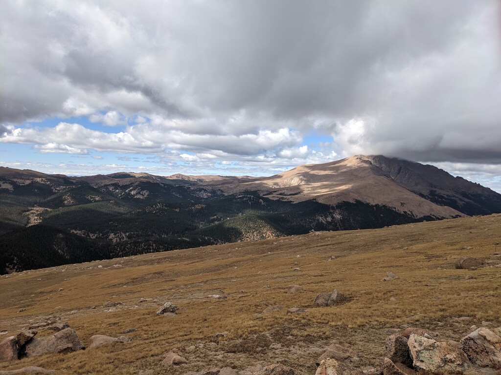
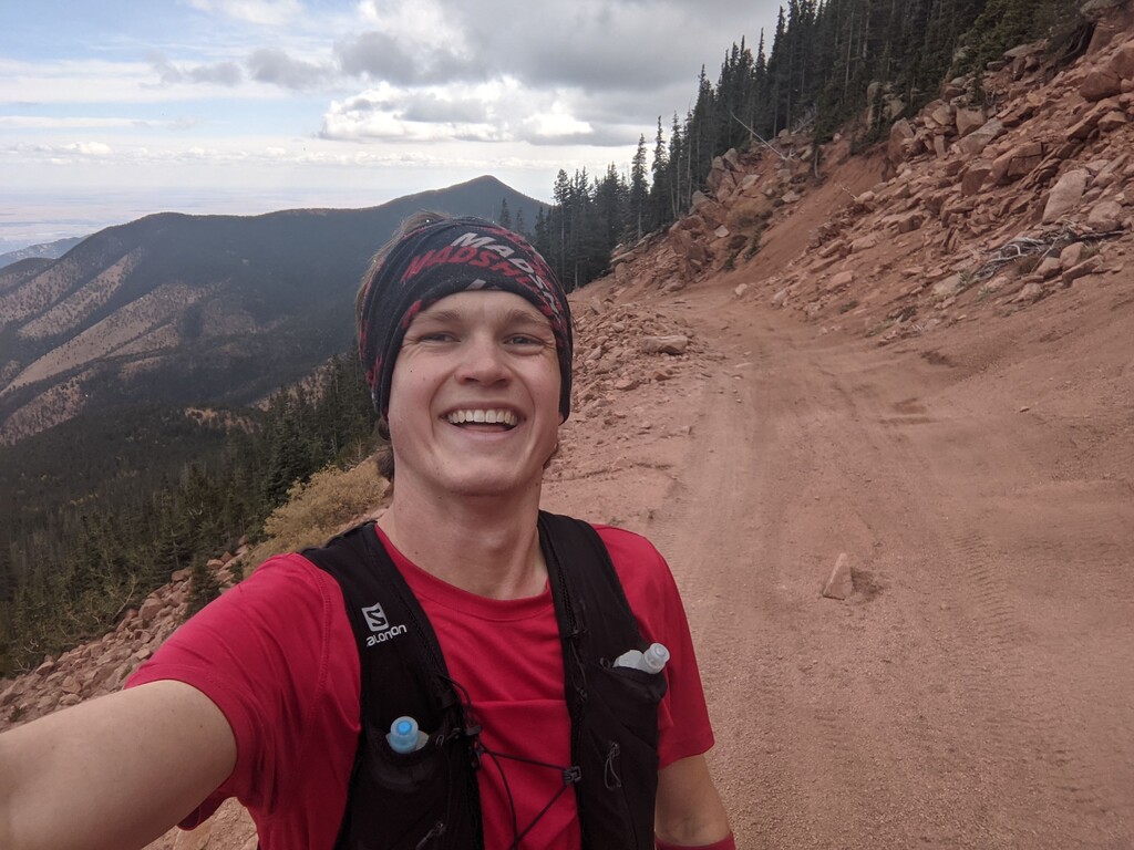
I started from the Barr trailhead at about 8:00am, running the loop clockwise. For fuel I ate a slice of pizza every hour until I got too nauseous to do so, then switched to honey stinger waffles. This worked surprisingly well considering how little experience/preparation I had for the attempt. The first section over to North Cheyenne Canyon was deceptively runnable, and it took concerted effort to hold back and save energy. I would say that the entire thing is easily runnable until you start the climb up Almagre, and I definitely ended up pushing too hard on the first climb up to Rosa. The short bushwhacks up and down Almagre were absolute killers- not bad as far as bushwhacks go, but horrible compared to the amazing trail along much of the route. I tried to recover along the flat stretch of dirt roads before Pikes, but it just wasn't enough and I bonked hard on the final climb; I had to sit down to catch my breath enough to eat a waffle, and I felt like I was going to puke the whole way up. I got lost on the summit of Pikes with all the new construction and didn't end up tagging the true summit, but I was finally able to find my way across the railway and onto Barr. The final 12 miles down Barr were a blur of sore legs, though I was actually able to have some fun and pick up the pace towards the end to make it back in 9:15, 45 minutes faster than my goal. This is a stunning linkup that Russell has made, and you'd be hard pressed to find a loop that combines so much runnable trail with the vertical gain.
All water sources were flowing well and I never went more than 2 hours between sources.
Splits:
Gold Camp Rd @ Bear Creek: 1:07
Mt. Rosa summit: 3:22
Almagre summit: 4:46
Pikes summit: 6:22
Barr Trailhead: 9:15:31
Just a note, my phone GPX track has this as 11,700 ft of gain/loss similar to Russell's track, but when I map it out on Gaia I get 13,700ft. I'm not sure what could explain a 2,000-foot discrepancy, so if anyone knows which is more accurate I'd love to know!