
This is an interesting route. The Continental Divide Trail (CDT) parking is at a semi-arid, scrubby juniper elevation. After the initial first couple of miles, CDT spends many miles in the vicinity of 8,000 ft in Piñon Pine forest. The last third climbs more rapidly and features some Ponderosas, Aspens and near the top there is even a hint of an alpine feel. There is a new section of trail freshly developed from the lot through the initial climb to the mesa. The man working on it today told me that it's not as steep. I might take a look at it and report on it in the future.
I began with 3.5 liters of water, hoping that it would be enough. It was gone after 28 miles, with a little over two miles left to the parking lot. The CDT section felt hot today! There was a PVC spigot as mentioned by Gerrit Van Ommering where the route goes from the CDT to the road at roughly mile ten on the ascent and mile twenty on the descent. I did not try to use it, but it would have been nice to carry less water and drink more.
I wandered. off route twice on the ascent, once where the CDT and crude cattle ranching roads weave together, then perhaps more perplexingly above the Gooseberry Springs Trailhead. My watch gave final estimates of 30.40 miles and 4790 vertical feet.
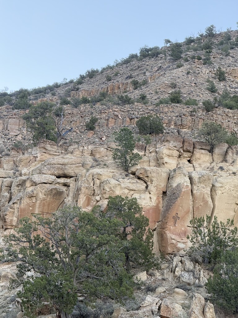
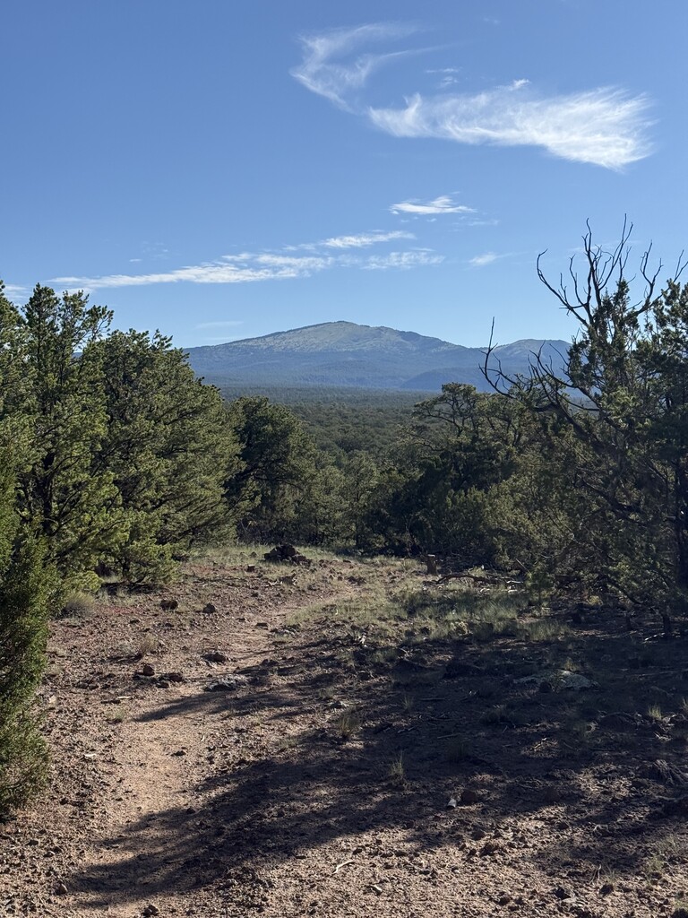
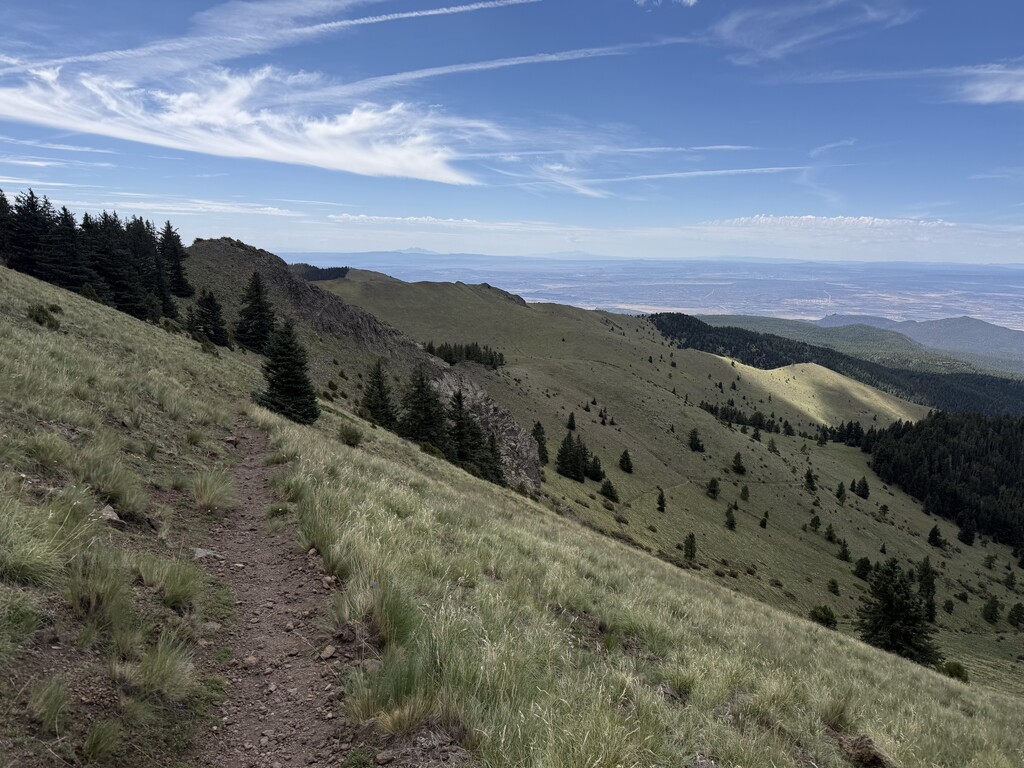
The pictures show some graffiti and the semi-arid landscape at the parking, a distant view of Mount Taylor approximately five miles into the route, then finally pleasant terrain and conditions on the descent a few hundred vertical feet below the summit.