
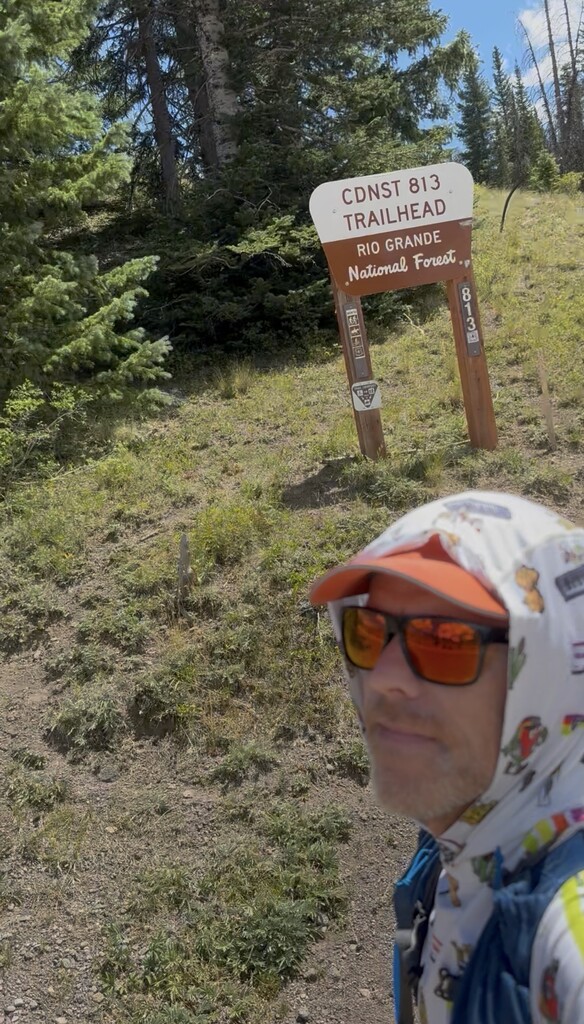
I've driven by these mountains to their east and west so many times over the years but never visited them aside from skiing at Wolf Creek. Starting at Cumbres Pass and finishing at Wolf Creek Pass, including minor water detours and occasionally losing the trail for short stretches, my watch clocked 70.41 miles and 11,417 vertical feet on this route. I started across the highway from the posted route at the Cumbres Pass end, because that is where the parking is along with an official sign marking the Continental Divide Trail (CDT).
Apparently they don’t make them any longer, but I carried an Intetgral Designs South Col Bivy with me. This was in case I got caught in a nasty thunderstorm or needed to sleep. I carried it on the back of a 1L Raide running belt, which I also used to hold a knife, my phone, and a couple of energy bars that I never ate.
I carried a small backpack with a 1.5L hydration system plus a 650mL soft flask with a water filter. I started with 1L of water. Based on the water sources on the map, I hoped to stop to refill often to keep the weight down. This mostly worked but it cost me a couple times.
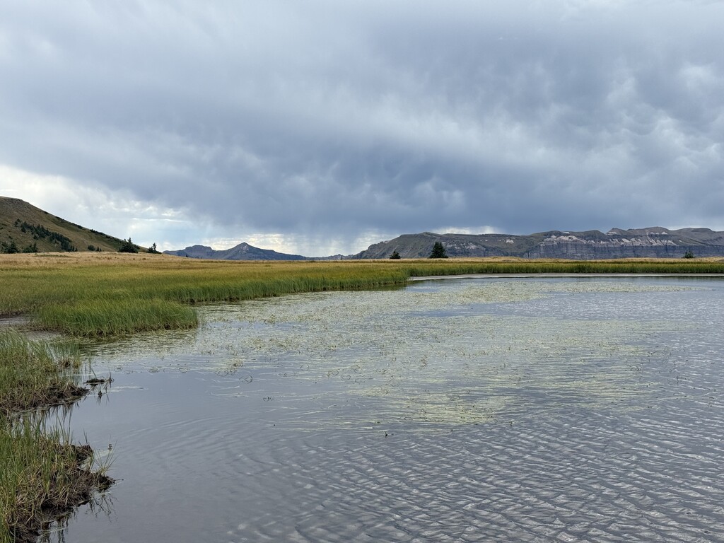
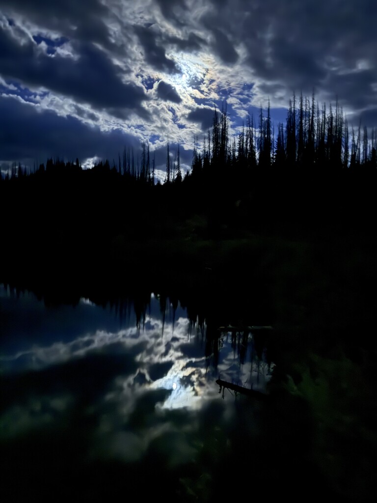
I left Cumbres Pass around 12:24 pm and the thunderstorm situation looked relatively good. I filtered 1L at 2.9 miles. Unfortunately my next intended water stop was dry before filtering another 1.3L at 12.95 miles. Both progress and the water situation stayed good. I started using a headlamp while eating my fifth (and last) slice of pizza at twilight. around 26.4 miles into it. There was an impressive chorus of howls at twilight. Not wanting to get mauled by a bear, I frequently clapped through forested sections. The first sign of other humans that I saw was headlamps across Blue Lake at 28.2 miles as I filtered a liter of water.
The moment of truth for me came around 42.3 miles, where the CDT crosses the Adams Fork of the Conejos River. It felt cold enough that I didn’t feel like trying to take a nap. But I was tired. Then I saw that for the next ten miles or so, the trail would stay above timberline with significant distance at elevations from 12,400-12,600 feet. So finally the plan was just to move quick enough to stay warm in spite of the cold. The toque helped. I pushed away thoughts about the possibility of developing pulmonary edema for the first time in my life.
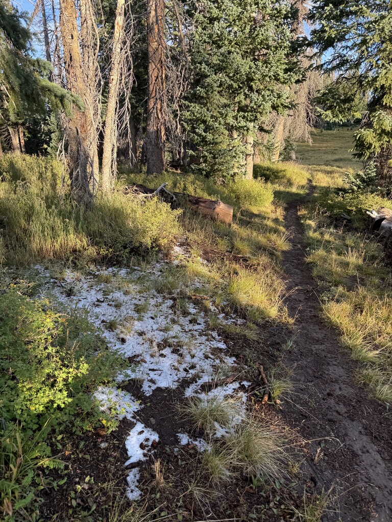
The burst of energy from dawn and a nice descent to a low point below 11,600 feet energized me. Copious graupel in places made me grateful that the thunderstorms had missed me. The fact that I was running low on water was slightly disconcerting, I took a liter from a decent flow through a rusty culvert just before Bonito Pass. That was about ten miles before Wolf Creek Pass. It was infuriating when both a spring showed within the ski area was dry as well as the creek right next to Wolf Creek Pass. I couldn’t eat because my mouth was dry, so this was a somewhat defeating finish. I arrived at the Wolf Creek Pass CDT sign at 1:42 pm. I was grateful when my wife arrived at the pass with our boys and handed me a cold bottle of water!
I still had 1.2lbs of food in my backpack. Better safe than sorry. In addition to an extra headlamp, I carried an external battery to potentially recharge my phone or a headlamp, but never used it. In addition to the water that I had at the start, I flitered about 8L of water.
I would recommend calling the different directions two different routes for this section of the CDT. The difference in vertical relief is over 800 feet. Additionally, it would feel very different to go over Alberta Peak at the start and finish on the cruiser terrain near Cumbres Pass.
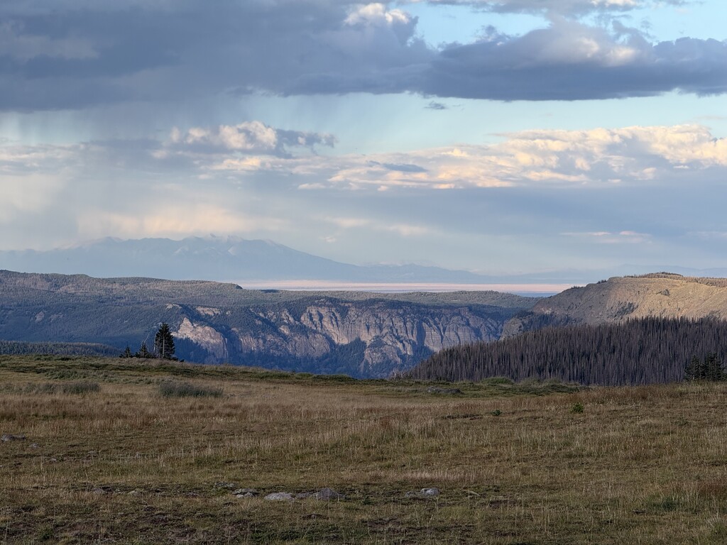
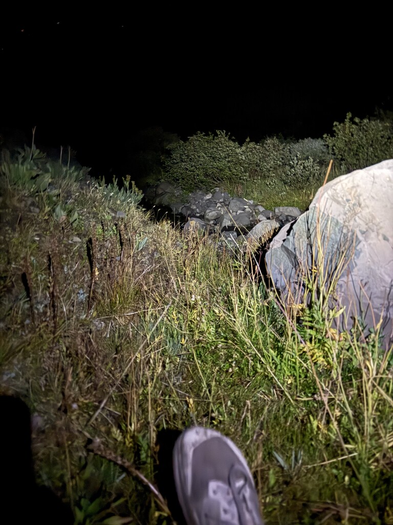
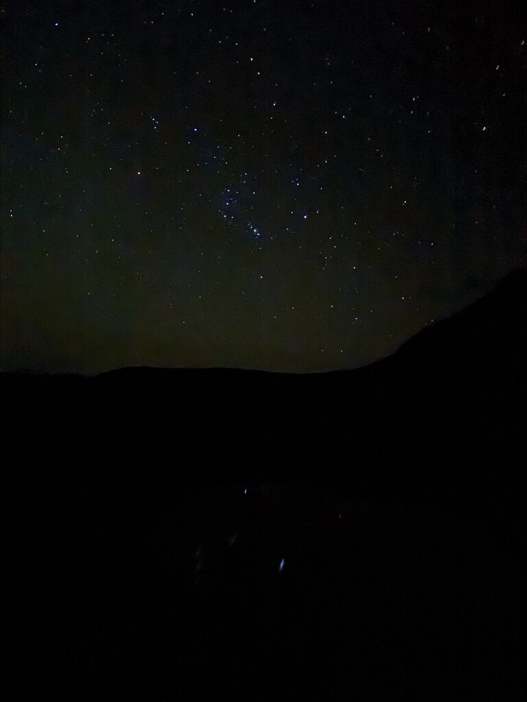
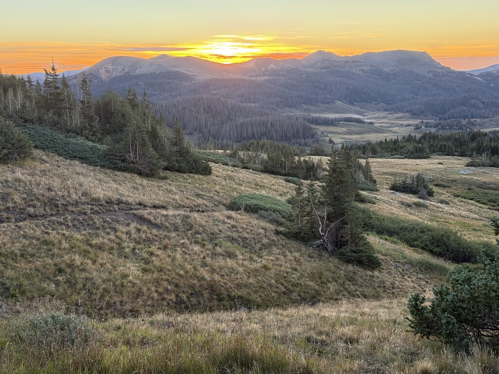
Pictures: 1) Start selfie. 2) Less than ideal pond/water detour around 13 miles. 3) Nice view east at San Luis Valley and Blanca Peak around sunset 4) Moon reflection on Blue Lake during a water stop. 5) Morale low point between 2 and 3 am. 6) An alpine reflection in the wee hours. 7) Sunrise. 8) Sure glad those thunderstorms missed me!