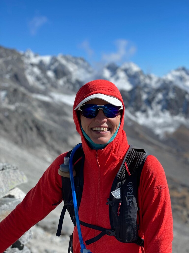
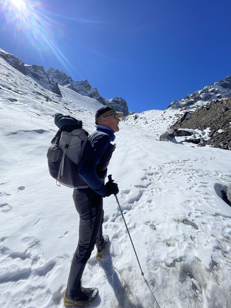
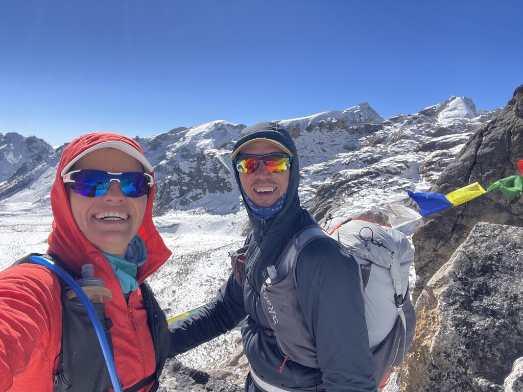
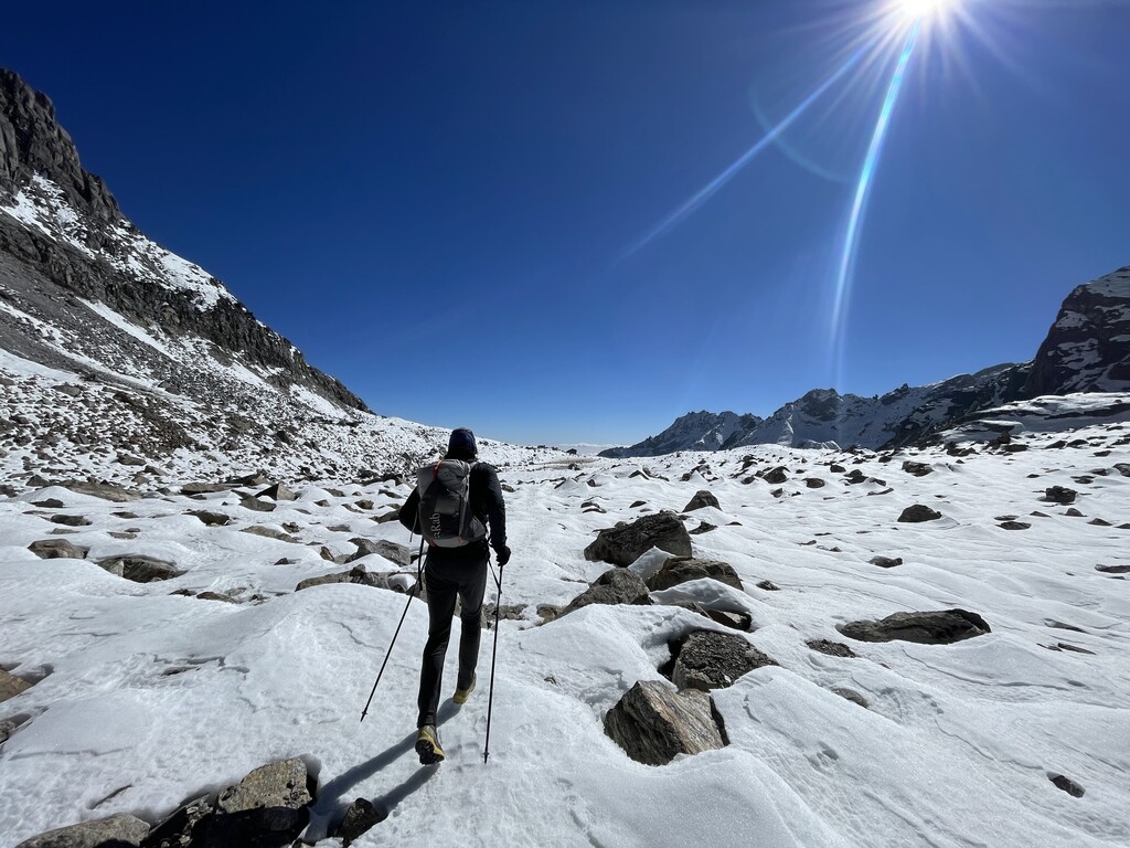
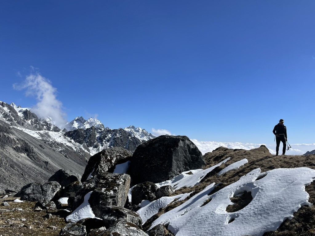
We ( Stef Maginelle and Sofie Lenaerts ) started the trail in Kyangjin Gompa 3838m after a 1,5 day trail into Langtang Valley. The Kangja La trail goes over Langtang Khola river into the woods. After this you pass by places for setting up camp (Kanji la pedi camp) until you arrive on the snow, all the way up towards the pass. The last climb is equipped with a pair of "new" ladders that gives acces to the Coll (highest pass 5130m) After short scree decent an finding your way amongst big boulders by stone-man, the valley widens and becomes "flat". Ones you pass by grassy soggy plateau, the path stays to the right side of the mountain range, staying at elevation around 4300m with endless trail goin up and down ridges with no water to be found. Its only after 23 km that you start gently to decent for 5 km after which you have last 250 +hm climb before you make your last descend to the village Tarkeghyang where your legs feel the 3720 decline meters. As we descending the last part in nighttime, we lost 2 times the track and had to climb back up to re-find the route. You find sometimes signs that indicate the direction of settlements, but they are far away... Between Kyangjin Gompa and Tarkeghyang, there are no houses or settlements, so bring everything you need with you including lightweight crampons for crossing the pass.