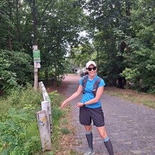
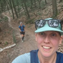
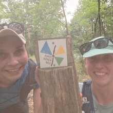
With my long-time running buddy Steffi (aka Coach) visiting me in Berlin, it was time to finally tackle my first Berlin FKT since moving here last year.
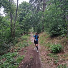
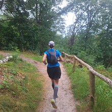
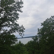
Havelhöhenweg is one of the twenty ‘urban green trails’ (Grüne Hauptwege) mapped out in and around Berlin. Don’t let its inconspicuous profile fool you: the route has quite a few up-and-down segments, featuring stairs, loose sandy terrain and gnarly roots. With a total elevation gain of about 200m, there is just enough spice to this trail to make a noticeable dent in your pace and keep you on your toes (literally). As an accident-prone runner sorely lacking in technical skills, this is what I fondly refer to as ankle-rolling territory.
Make sure to take a good look at the gpx track for the FKT route beforehand, especially if you’re aiming for a competitive FKT: While the ‘official’ Havelhöhenweg starts just below Stößenseebrücke/Heerstraße (as noted in the FKT description) and follows the tar road Havelchaussee for approx. 2km, the FKT gpx track only covers the core trail-y part of the Havelhöhenweg starting from Alte Liebe restaurant and stops a bit short of the official end point at Strandbad Wannsee (a popular historic lido). Also, at one point near kilometre 2 the trail markings appear to indicate going down a staircase to run a few yards along the riverbanks only to go up again shortly after, whereas the FKT route continues straight ahead. If you take the little detour down the stairs (like we did), you’ll add a bit of bonus vert to your elevation count.
We set out Friday around noon, on a somewhat overcast day although the high humidity had us sweating regardless. To get to the starting point, we had taken public transport to Pichelsberg station and used the two kilometres leading up to where the gpx track starts as a warm-up walk. No prior FKTs had been submitted for this route at this point, so there wasn’t really any pressure or specific stime to beat. Given that neither Steffi nor I were in prime running condition, we even considered simply hiking the route all the way. In the end, we decided to take on the run and just roll with it – and rolling we did!
My favourite section of the route came after we passed Lieper Bucht to cross the street Havelchaussee about 5km into run. On the other side of the street, just as our feet hit soft forest ground again, the trail took a turn to the right and morphed into a slalom-like zigzag. It’s a really fun segment to run, even if you’re not the most technical runner! For the Strava addicts out there, you can search for this segment under the name ‘Havelhöhenweg Kurven’, and if you’re looking to collect Strava achievements on this route I highly recommend you take it up a notch on this part 😊
At kilometre 7, we encountered the worst staircase section of the route (in my opinion) that pretty much screamed ‘walking break’. Shortly after, we crossed Havelchaussee once again and continued running on a sidewalk overgrown with nettles for half a kilometre – the only notable road segment of the FKT route – and before we knew it, we were back on forest trails for the final stretch until Strandbad Wannsee came into view.
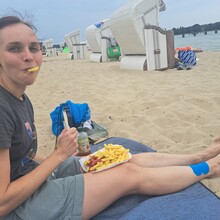
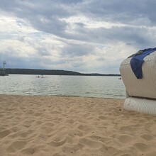
Having finished the FKT route, we continued with a leisurely jog for another 1.5km until we arrived at my local rowing club where we had conveniently stashed a bag the day before. After a quick shower and change at the boathouse, we walked back to Strandbad Wannsee to relax at the lido. As we were getting settled, Steffi, who had soldiered on like a champ the whole time despite struggling with various niggles topped with stomach issues, was stung by a bee! Otherwise, there were no major injuries to report, and we did enjoy the rest of the day rewarding ourselves with a large serving of celebratory fries…

