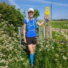
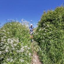
I decided to start my run at the southern-most point of the route, on Pump Lane near Fillongley, for no other reason than that it was the nearest point to get to from home! I ran in a clockwise direction. The downside to starting here was that the gpx route on my watch finished in Atherstone and so I had to navigate the second half of the run with a map. This proved trickier than it should have been and I ended up adding an extra 5 miles or so onto the published distance, and wasted a lot of time. The waymarkers were sparse in places, and some of the paths were difficult to find, or very overgrown, or closed / diverted, which also added distance on. It ended up taking me a couple of hours or so longer than I was hoping, which was quite frustrating.
I was carrying my own food and drink and meeting my coach at various points to replenish my stocks. Because I was concentrating on navigating, I realised I wasn’t eating / drinking enough in the later stages, and consequently started to really struggle in the final miles, walking more than running. The very warm temperature didn’t help ether!
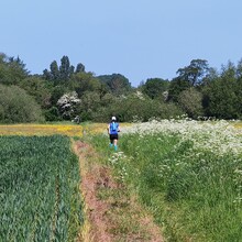
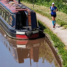
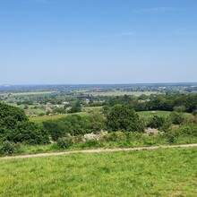
The route is very scenic and varied, with some lovely wildflower meadows, woodland, leafy Arden lanes and a stretch along the canal. There were some amazing long-distance views, especially from Hartshill Hayes Country Park. It was surprisingly hilly in parts too! In hindsight, this time of year probably isn’t the best as I often felt I was fighting my way through vegetation – nettles which stung my legs to bits, cow parsley, and fields of oilseed rape up to my neck!
So, lots of lessons learnt about the route, and hopefully I’ll give it another go sometime, but not until the nettles have died down!

