A map and compass* adventure that I’m still wishing I hadn’t embarked on. Dartmoor 500s is a collection of 52 tors (specifically rocky outcroppings) that doesn’t include all summits over 500m… it seems they were just picked on vibe. Some are just rocks in the middle of nowhere (not summits) which makes them pretty hard to locate if you mess up your compass line.
1:55 alarm goes off
2:15 get back into bed with coffee and porridge
3:30 will myself back out of bed
4:00 rainy cycle to the Warren House inn
6:00 touch the wall and set off
6:10 somehow already lost in a bog (you can see the terrible strava lines)
6:20 managed to locate myself with surroundings
Thus preceded a pretty awful 20km spent entirely in a bog. Finding Kit Rocks in the dark was a challenge (I should have researched what all the tors looked like). By the time I hit Fur Tor, I was grateful for light and a sudden clearing of the clag where Little and Great Knesset stood prominently out of the bog. Anyone who’s ever visited Cranmere Pool (the furthest place from a road on Dartmoor?) in the winter knows it’s best not to think about it and just try to lift your feet out of the bog one at a time.
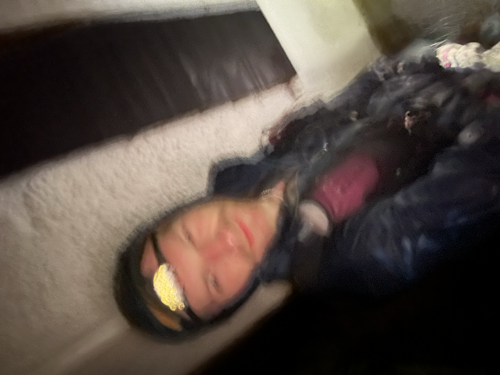
By the time I got to Hangingstone I was a bit beat up, my Kyrgyzstan hamstring tendon injury had flared up and I thought I might have to pull the plug (3:35 in, first photo I think). I felt unbelievable relief to be running on soggy PATHS at last and the route significantly improved here but I’d realised by now that I had massively under packed carbs. I’d been hungry since the start and I was trying to eke out my gels (I ended up with 60g/hr carbs). It also stopped raining from above… I was just wet from my waist down.
I’ve spent a lot of time on Dartmoor but somehow it always manages to be a testing ground for map and compass nav (the whole point of this project). In the mountains, you have sharper features to orient yourself, on Dartmoor you’re just lost in one big bog.
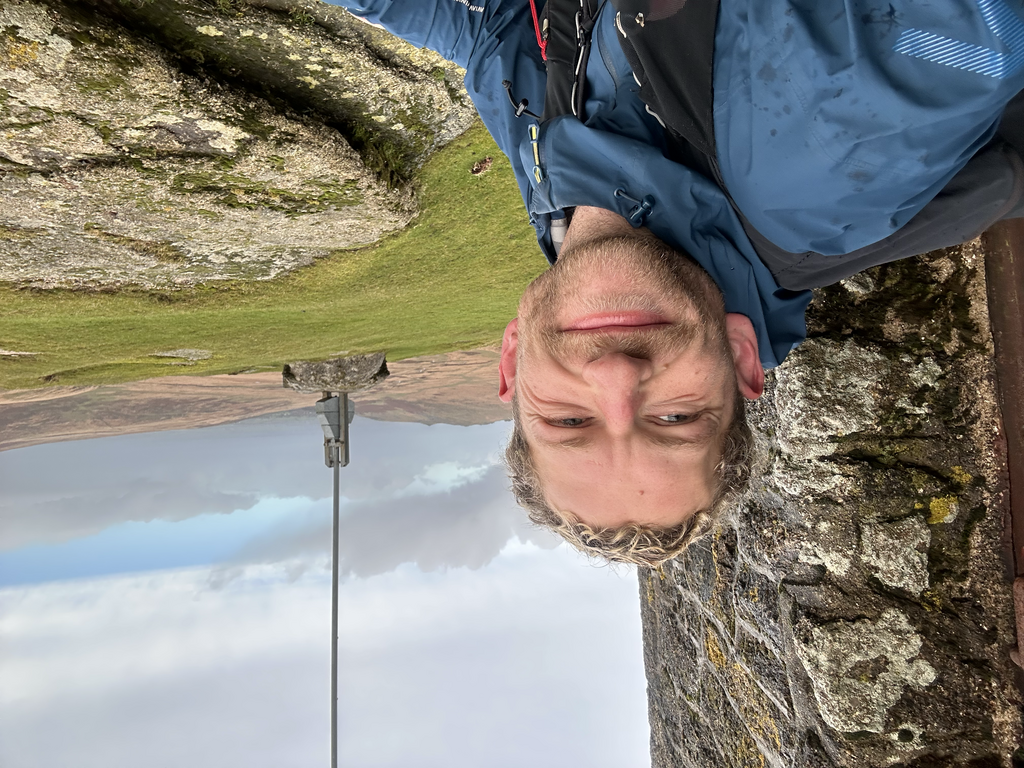
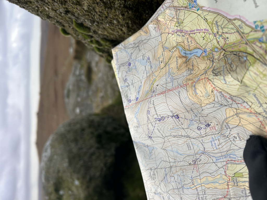
Refilled water in Black-a-ven brook, disconcertingly brown but fast flowing. Made it to Yes Tor (11:23, map photo). Having never been, I thought Steng-a-tor was a small rock… questioned it, kept on my bearing and finally found it. This section was by far the nicest (Hanginstone-Hare Tor) and was at least 50% on soggy paths.
On the slow bog-slog from Hare Tor to Great Mis Tor, I took a different line than previous FKTs. I figured it was going to be a bog regardless and took the straightest line. Lost a bit of time trying to find a crossing on the Tavy Cleave. Rain had been on/off all day but now some really cold rain began to fall and I got to Great Mis Tor with huge relief.
After the pip up the North Hessary tors, a much appreciated road section took me to Beardown farm and then back to by beloved bog (I feel like I don’t love peatlands as much as Katy Ross but it’s not for lack of trying). I messed up my line to Devil’s Tor and found myself on the plateau… it was dark by this point and not knowing whether I was too far South or North I couldn’t figure out any features on the map to guide me in to it. I could have slowly circled outwards but decided to look at the backup route on my watch (the only tor I used this for). Interestingly the tor is located in a slightly different place on OS maps to my Harvey map but you can see how I drifted off my compass line from Conies Down tor to the river (refilled a flask with more brown water) so that when I climbed back up I was on a parallel line to the tor. I was a bit tired by this point and I’ve probably visited a lot of these tors before but Longaford tor was surprisingly cool.
Stupidly I didn’t take a bearing on the descent to Postbridge, by my map I figured I couldn’t go wrong. Then many paths started appearing and I got myself a bit disoriented. Found a fence line, got even more confused. Turns out I was exactly on the route but I checked my watch for the second time. I was beginning to spin out a little. I was famished. Running past my bike at the Warren House for the Hameldown out and back took a lot of restraint not to touch my post-run supplies.
At this point I had a decision to make, I was surprisingly close to the summer supported FKT (someone needs to have a bash at that) and either I continued with my map and compass or I used my watch for the last section and went for it. For five minutes I decided to look at my watch and go for it and then sanity resumed and I remembered the whole point of this run was a map and compass test. I felt pretty lifeless having run out of food and water and lost all motivation to move any faster than a snail on this part. Then as I was getting to the end, who should appear but Rob Salmon 🏴 with a warm van, hot coffee, snacks, and the offer of a lift back home… no part of me was excited for a cycle in the hail back to Bovey even if it is all downhill. So much love for you appearing out of the dark!
Unlike in really bad weather, big mountains, or terrain that feels ‘adventurous’… Dartmoor’s bog just saps things from you—energy, a sense of movement, a sense of adventure, and ultimately a will to be there at all. In reality that’s probably why I needed to be there, it’s discomfort without any reward, and a lot of good training for future projects. I have yet to be convinced that Frozen Head can deliver the hell of winter Dartmoor bog. [if someone cries in a bog on Dartmoor can they even tell where the water is coming from?]
I would like to call it a ‘good day out’ but it wasn’t. In fact even after some sleep I think I still regret setting out on the adventure… maybe after I’ve got more food and another Nestor Lasso coffee into me I’ll feel okay.
Massive thanks to Ben Diggins for the route info and advice!
*I used my watch to gauge distance travelled which is obviously a huge aid and something I should work on better instincts for.