

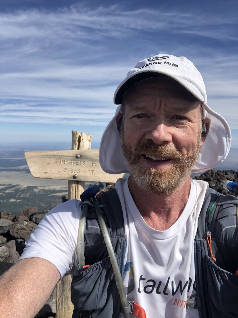
This epic, out-and-back route starts at Heritage Square (at the heart of historic downtown Flagstaff, AZ) then (about 20.4 miles later and about 6,000 feet higher) goes to Humphreys Peak (highest point in AZ at 12,633 feet in elevation) and then back to Heritage Square. The route is 99% trail (mostly single track, smooth to rugged) and 100% beautiful. Just one hill!
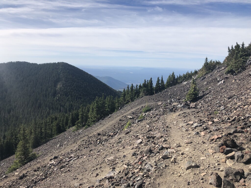
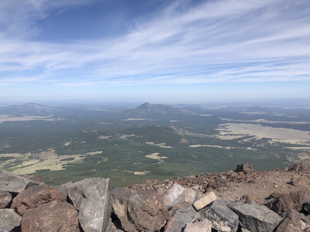
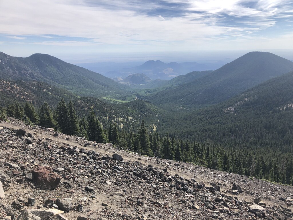
Details: From Heritage Square, take a right (west) onto Aspen Avenue for 2.5 blocks; take a right onto N Humphrey Street and follow for 2 blocks; take a left onto W Cherry Avenue and follow for 1+ blocks; take right onto the dirt trail of the Flagstaff Urban Trail System (FUTS) and follow for 3+ miles to the traffic light on Fort Valley Road (Route 180); take a right onto Schultz Pass Road and 0.3+ miles later, bear left at fork (4 miles from start), staying on Schultz Pass Road; after about 0.2 miles, just as the road turns to dirt, take a right down into dirt parking lot to the trailhead of Schultz Creek Trail; follow Schultz Creek Trail for about 4+ miles to its end (in dirt parking lot); bear left to pop out on Schultz Creek Road where you take a right and follow for 0.2+ miles (the only time on a dirt road the entire route) to the trailhead of the Weatherford Trail (about 9 miles from start); take a left onto Weatherford Trail and follow for 10+ miles to the saddle between Agassiz Peak and Humphreys Peak; from there, take Humphreys Peak Trail up for about a mile (rugged!) to Humphreys Peak; take in the 360 degree views and then follow your footsteps back to Heritage Square.
Hint for self-supported attempts: I cached water on Weatherford Trail -- about 4 miles from Schultz Pass Road (roughly at 1/3 of the route) and hit it again on my way down (about 2/3 of the route).