
Sunday, October 11th: Stoneham, ME
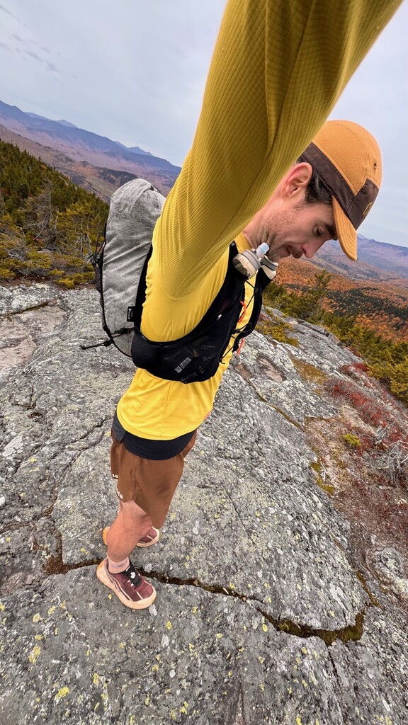
An expectedly late departure from the Portland area had me arriving to an overcast and crisp, 29-degree morning at the Great Brook trailhead. As I was going to on-sight the route, I wasn't sure where to park so ended up backing into a little snowplow turnaround along the Hut Road. The debate around the correct layers and nutrition to bring served as the easiest adversary to departing the comfort of the car; but, at 8:43am, I reluctantly headed out into the chilly morning dressed like a 'peak pocket' and hit 'Start' on the watch/spot tracker to begin a route I'd only become aware of two weeks prior. Gordon Miller had sent me a message asking if I had visited or could recommend any trails for the area, but having only played around to the West of Evans Notch there was nothing I could offer for advice. The pictures he'd taken and the elation he conferred in our messaging the days following his trek was enough to send me hunting for a route to explore the area myself.
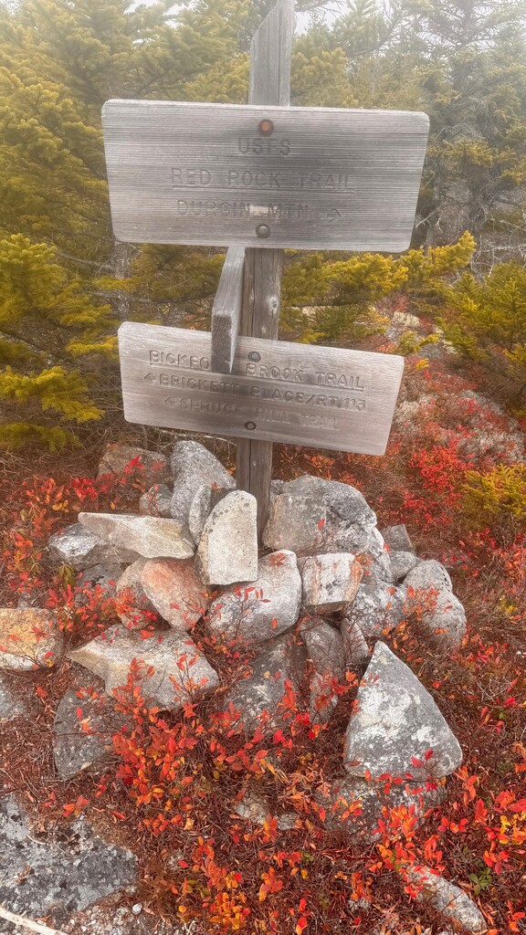
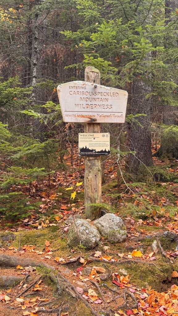
Climbing slowly up the Great Brook Trail, it became clear within the first half-mile that this would be a very different experience from the trails in the NH Whites. A distinct lack of markings provided... uhh... 'opportunities' to hone my trail-finding skills through large portions of this route. Specifically, the climb from the departure of the four-wheeler double-track on Great Brook Trail to the intersection of Red Rock Trail; and then, much later in the route, approximately two miles after turning onto Haystack Notch Trail and continuing until the sharp right turn in the meadow onto Miles Notch Trail. The second example was slightly more concerning given how deep into the woods it felt at that point and knowing how long it would take to make it to a road in any direction if something were to go wrong.
The turn onto Red Rock Trail as well as the following traverse over Durgin Mountain, Speckled Mountain and (around) Ames Mountain provoked an idyllic feeling of running through the woods as a child. A trail outlined first by deep mossy forests and then, higher up, in low-growths of red and yellow punctuated the experience and left me pondering what else may come of this trip. Beginning the first descent towards Evans Notch / Rt 113, I passed the first of only a few others on trail: a group of four carrying shovels who were prepared for trail maintenance. Two other groups of three were ascending towards Speckled, one of which had a happy dog in the lead who wanted to take off with me as I shuffled past.
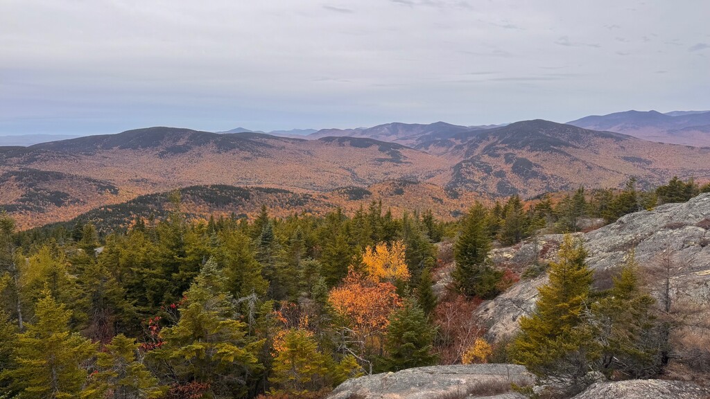
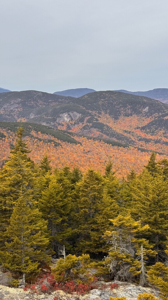
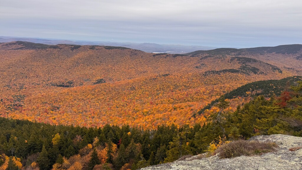
Reaching the newly paved road, the pace unsurprisingly picked up and the Nordas were giving just enough bounce to keep the ride comfortable as I dropped another 500' to the Caribou Trail parking lot, pausing just briefly to double-check the signboard and ensure I was in the correct spot. The Caribou Trail flip-flops between the banks of Morrison Brook; however, the relatively low water levels this year had maintained a supportably firm trail on both sides and easy crossings straight through my departure up Muddy Brook Trail. Despite the name, which was far more applicable to the final section after Caribou Mountain, this too was dry and the footing was clear enough of leaves to quickly rise to the summit of Caribou where the best views of the day were had. Caribou offered views panning from North to East and finally South from the lower ledges area, and among these views were the (slightly past) 'peak pockets' of color that the flatlanders have been chasing in the Northeast over the past three weeks. Indeed looking back across the valley at Red Rock, Butters, Durgin and Speckled was one of the better amphitheaters of foliage I've come across, even if a week too late to be considered 'peak' by my estimation.
Descending off Caribou via the Mud Brook Trail was quick and uneventful; with just one stop at a fast-flowing section of Mud Brook to filter water for the return section of the route. I hit the turn South back onto Rt 113 at approximately 12:53 and made good time back up the blacktop before taking a left into a trailhead I'd completely overlooked on the first pass heading North: Haystack Notch Trail. This path ascends very gently for just over a mile before making a sharp climb along the side of Haystack Mountain, but never fully achieving the summit. A honeypot of mud, much akin to quicksand, caught me off-guard around the half-mile mark and I sank quickly to my shins on my three steps through it but managed to keep ahold of both shoes while not toppling over. Coming off the side of Haystack, and following a short burst of steeper downhill on loose dirt, I found myself fighting to navigate the correct path for nearly two miles as the forest has decided to take back the trail. Running for 150-200' at a time, then stopping to confirm that I was still seeing something that resembled a trail in places made for a snail's pace through this section. The payoff was well worth the time navigating though. When I finally popped out of the woods and arrived into the meadow near Miles Notch Trail, the sun has nudged a few clouds to the side and was guiding the way South as I made the turn towards Miles Knob.
Not long after the turn a first dog came out of the gully, aggressively circling me until its owner yelled down the trail and ultimately corralled and leashed him. "There's a much bigger one a little further down." He stated. "Am I going to be okay running past him? I asked in return. "Yeah, of course." Some 200' down the trail the second dog barreled out of the brush at me, dropping the tennis ball it had been carrying and began barking and jumping up. I froze, doing my best to give off happy vibes to quell the beast, until the owner saw what was happening and came down the trail calling for him to "Come!" I wasn't in the mood to get bit today, so I took the chance to scoot off along the trail.
The final ascent past Miles Knob was quick and painless, and even moreso the drop down to the Hut Road to locate my car. I picked up the pace on this final section down, recognizing that I could take a bit more time off this route than I was originally anticipating. Grabbing the sharp right onto the dirt road, my car was in sight within 45 seconds and the route was complete. A final time of 6 hours, 47 minutes and forty seconds.
I completed this route solo and completely unsupported throughout. What a day in a beautiful section of the Maine woods.