
Note: Hundreds of Photos and more detailed GPX routes and reports available in the 70-odd daily Strava Activities from my second-by-second Gramin Fenix GPS recodings made publicly available at link provided above.
GPX link is from Garmin InReach for the entire 70 days that reported live position to the MapShare service every 20 minutes, viewed by family and friends.
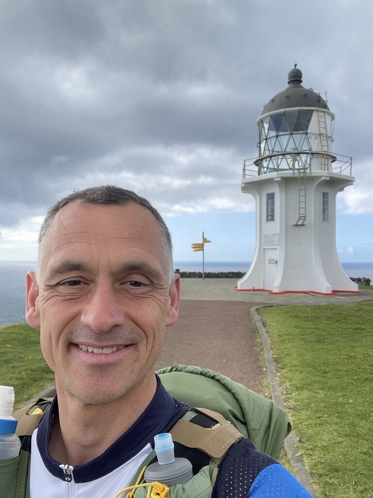
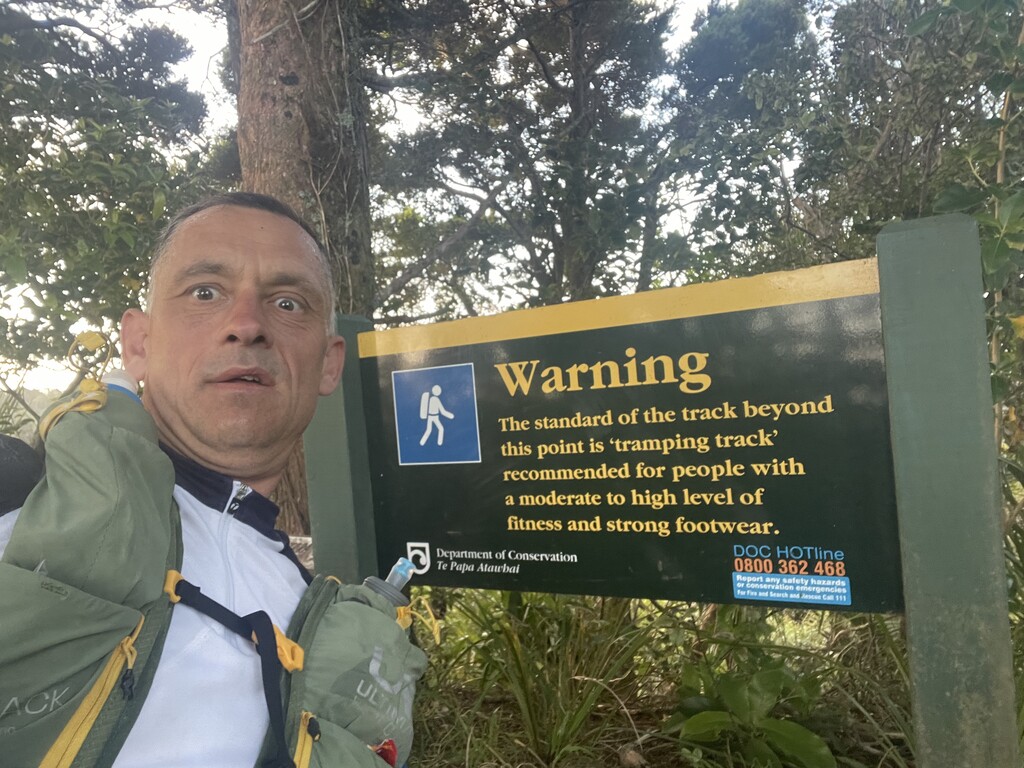
I started at Cape Reinga with a shared transfer from Keri Keri with other southbound TAers at 4:28 PM on Saturday 15th October.
I initially hoped to complete the whole TA in around 65 days (rather than nearly 70) but was hampered by shin-splints after day 6 (approaching Helena Bay) from the large amounts of road-running in the north-island. I had to do several half-days and took a rest day in Auckland on Sunday 30 October that coincided with torrential rain.
Another injury occurred on approach to Waitomo, the quad immediately above my knee becoming severely strained. This meant a short hobble the next day to Te Kuiti and some heavy strapping thereafter.
But the injuries both improved with increased proportions of off-road trail running, such that I kept pretty much to my original plan after Te Kuiti, but with just one further rest day in Picton on 28 November primarily due to continuing torrential rain but also again to let the shin-splint inflammation subdue.
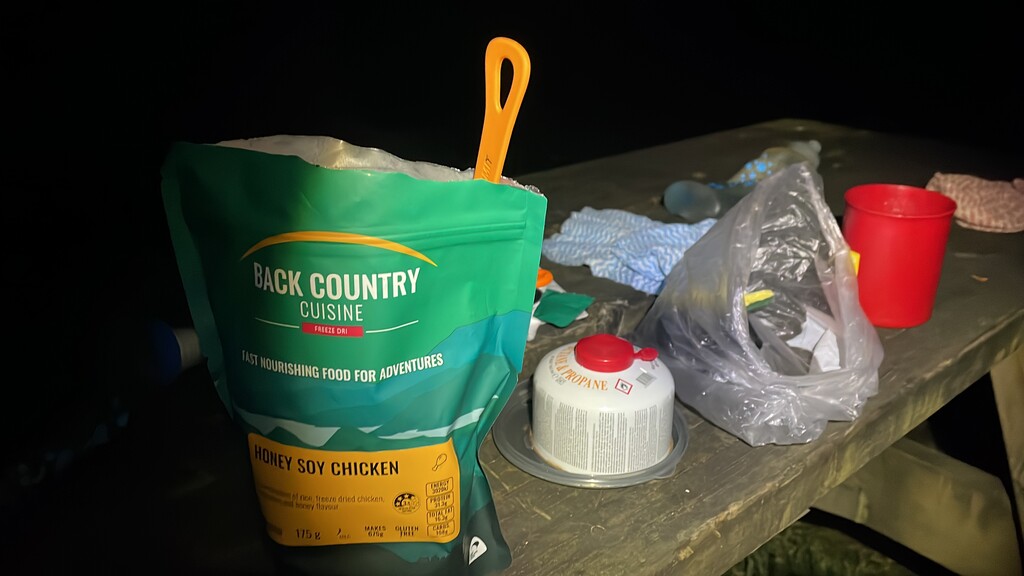
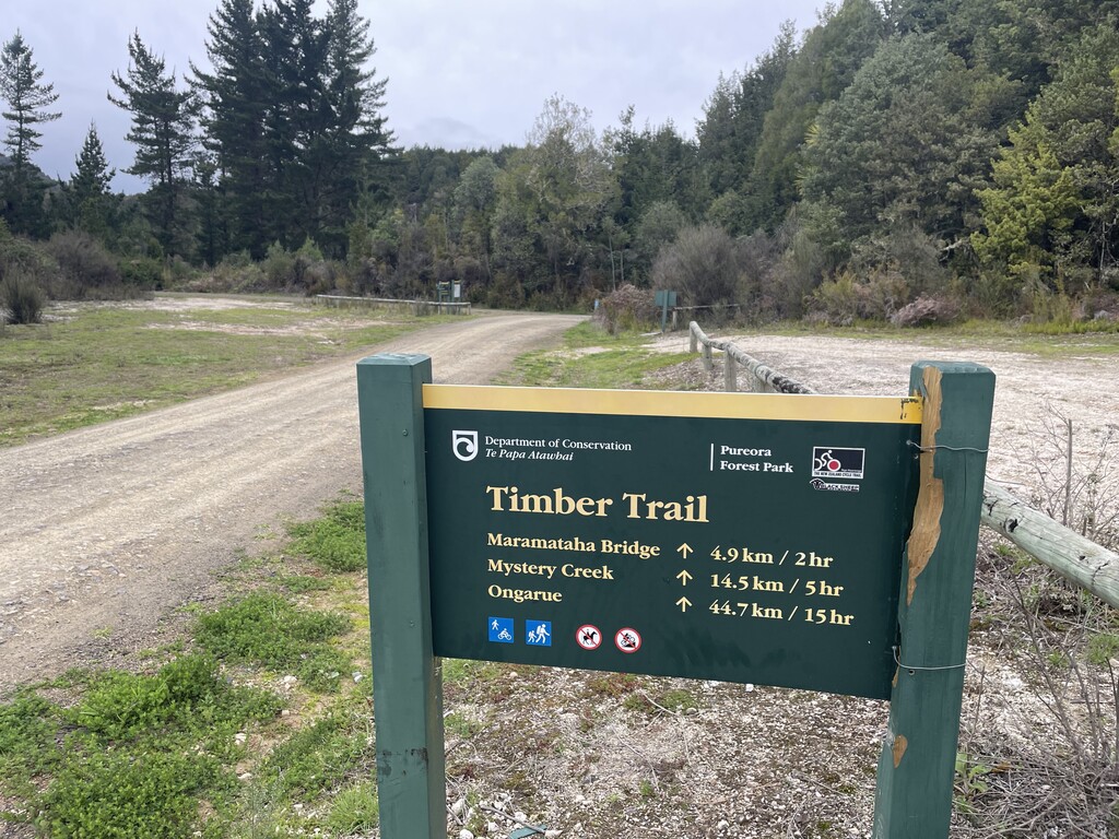
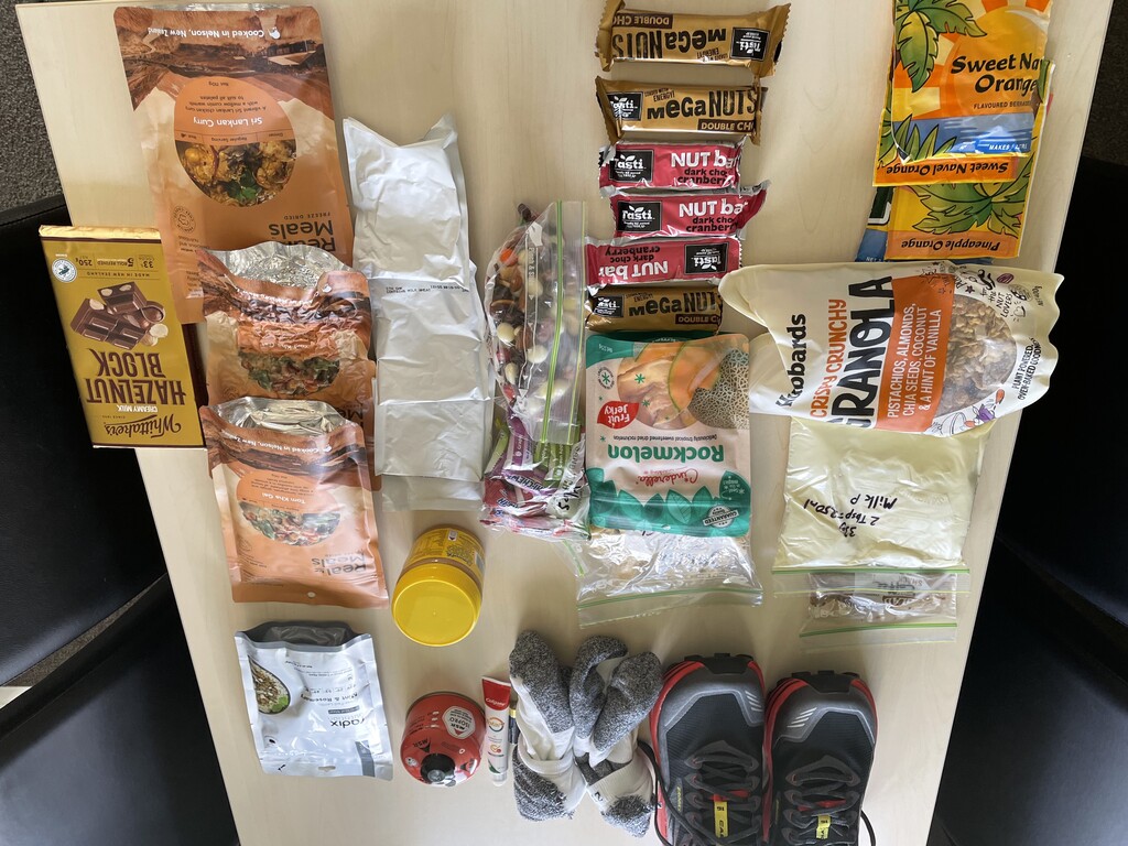
Resupply was not an issue in the North Island due to the frequency of towns, though I did have a box with my first shoe change, and some freeze-dried meals sent to Taumaranui at around the 1,000km mark, to the company I was doing the Whanganui River Journey with (from Whakahoro to Whanganui). This season, the land-option between Whakahoro and Mangapourua was subject to long-term closure by DOC due to slips that made the track impassable.
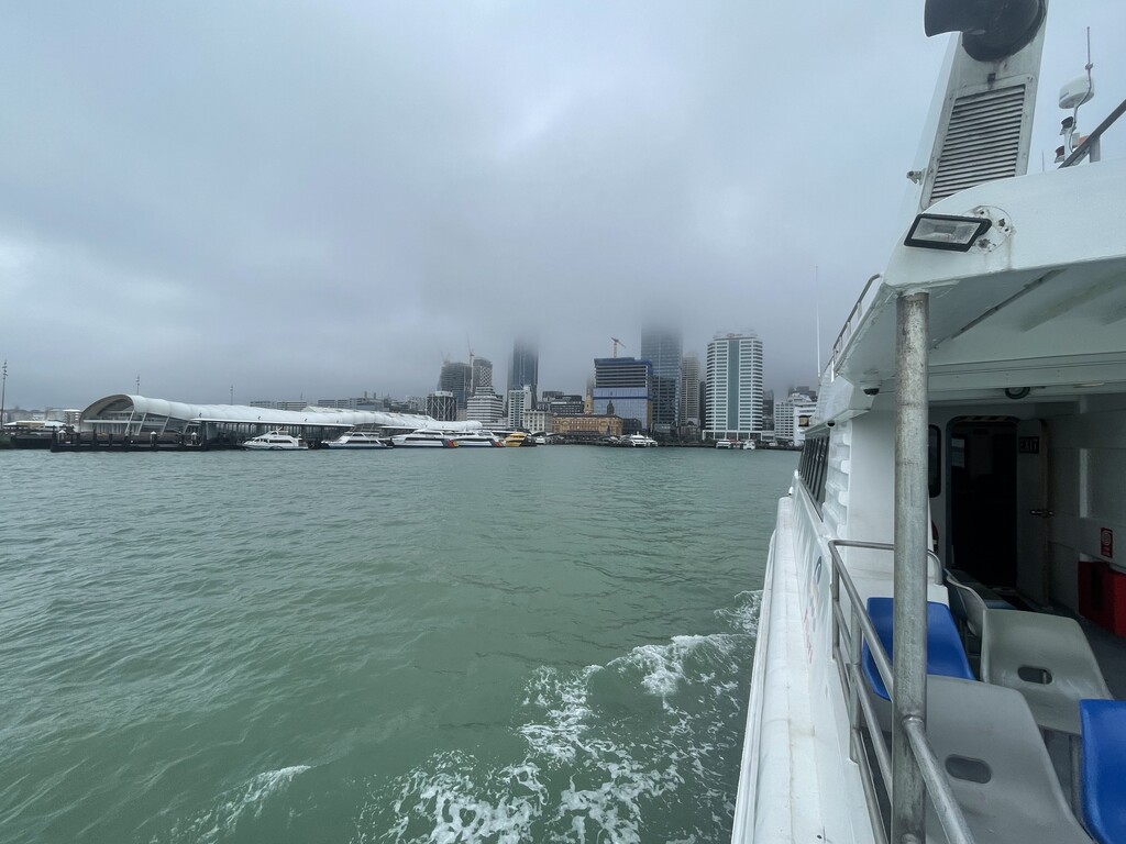
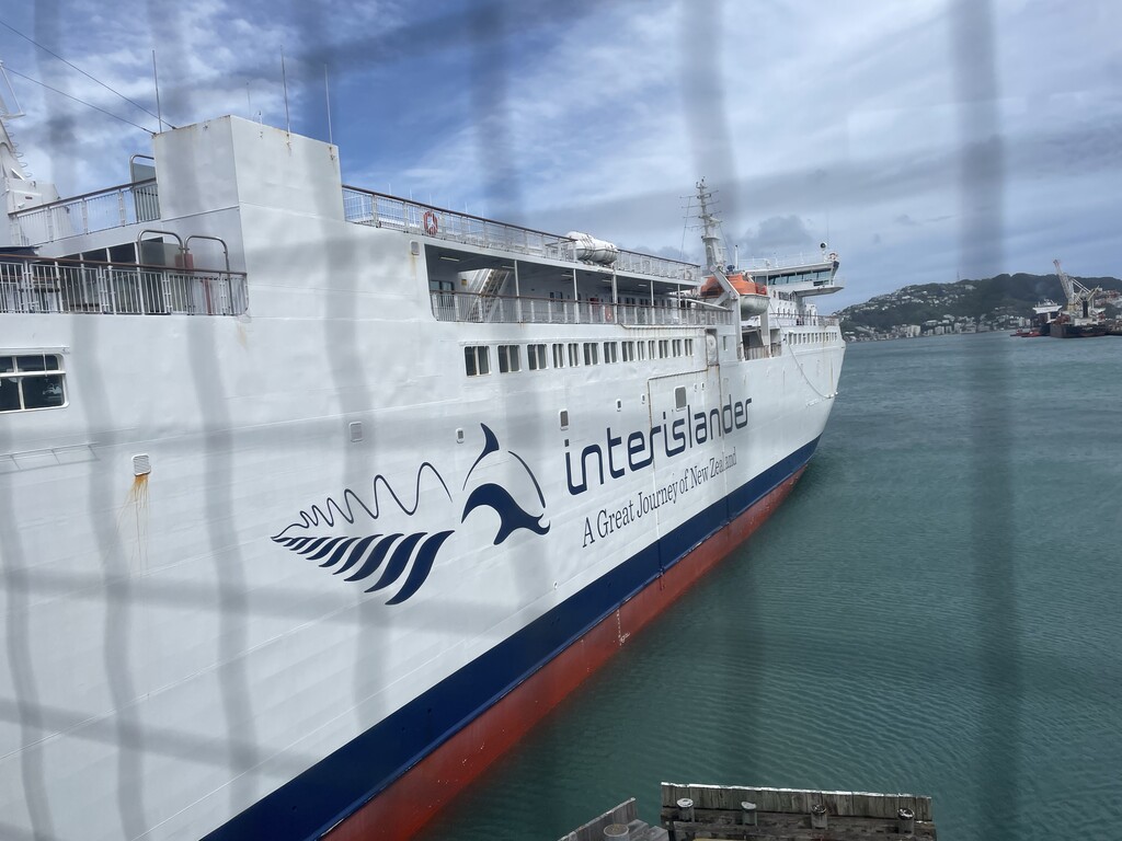
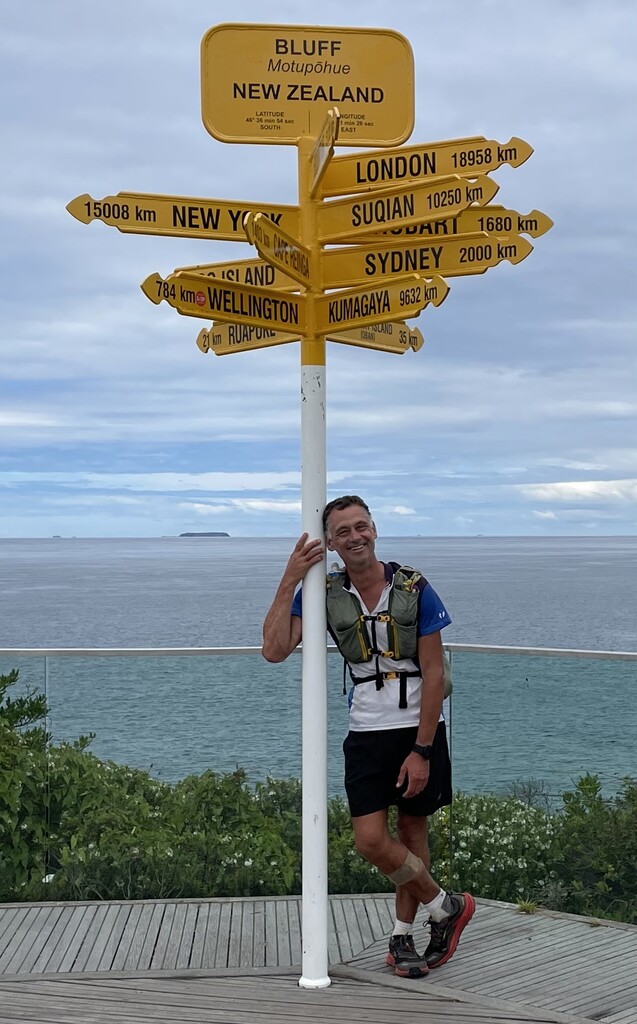
After the Cook Straight ferry crossing (afternoon of 26 November), I started the South Island on Day 44 (28 November) having taken the water taxi from Picton to Ship Cove. Thus as I finished on Day 70 (24 December), the South Island took just 27 days.
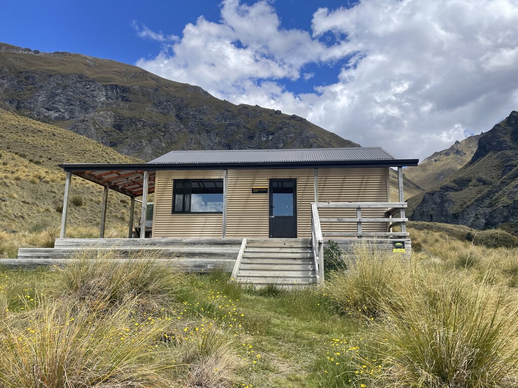
Resupply boxes in the South Island I had sent in advance were at Pelorous Bridge, St Arnaud, Lewis Pass (Boyle River) and Arthur's Pass (Bealey Hotel), with my second shoe-change at the latter (around 2,000 km mark).
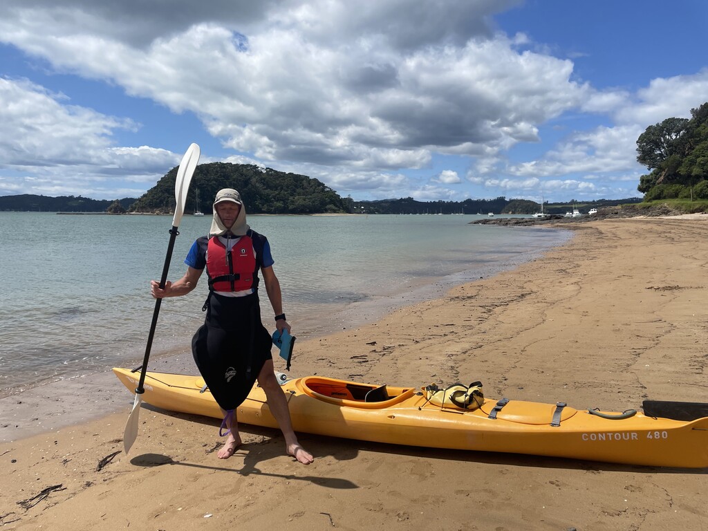
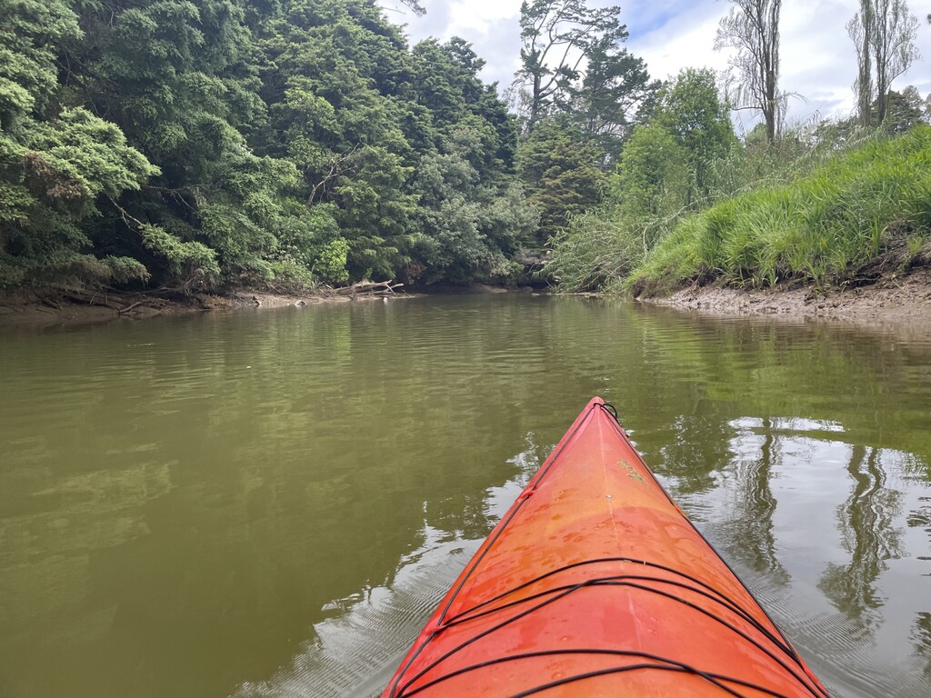
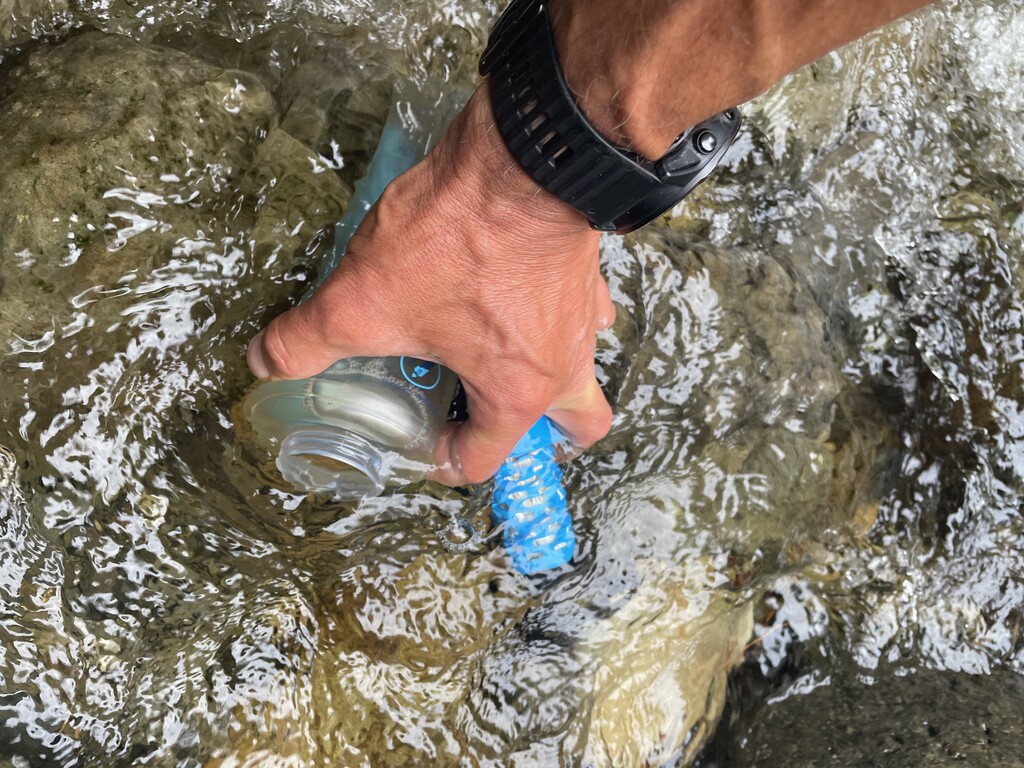
I played by the FKT self-supported rules, using only publicly available transport providers (kayaks, ferry, Raikaia and Rangitata braided River bypasses) and accommodation. It was also really tough telling family and friends that they could not come and see me on the route.
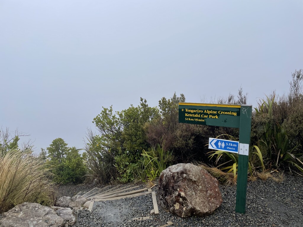
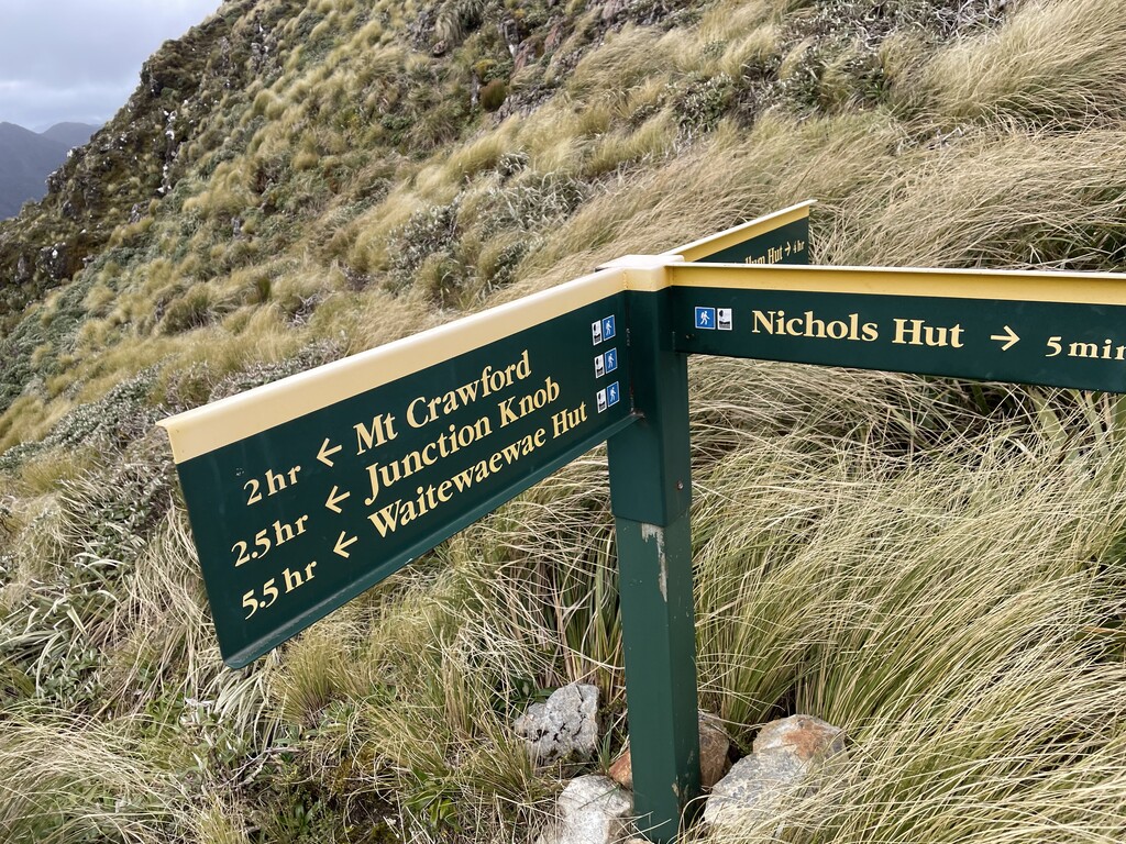
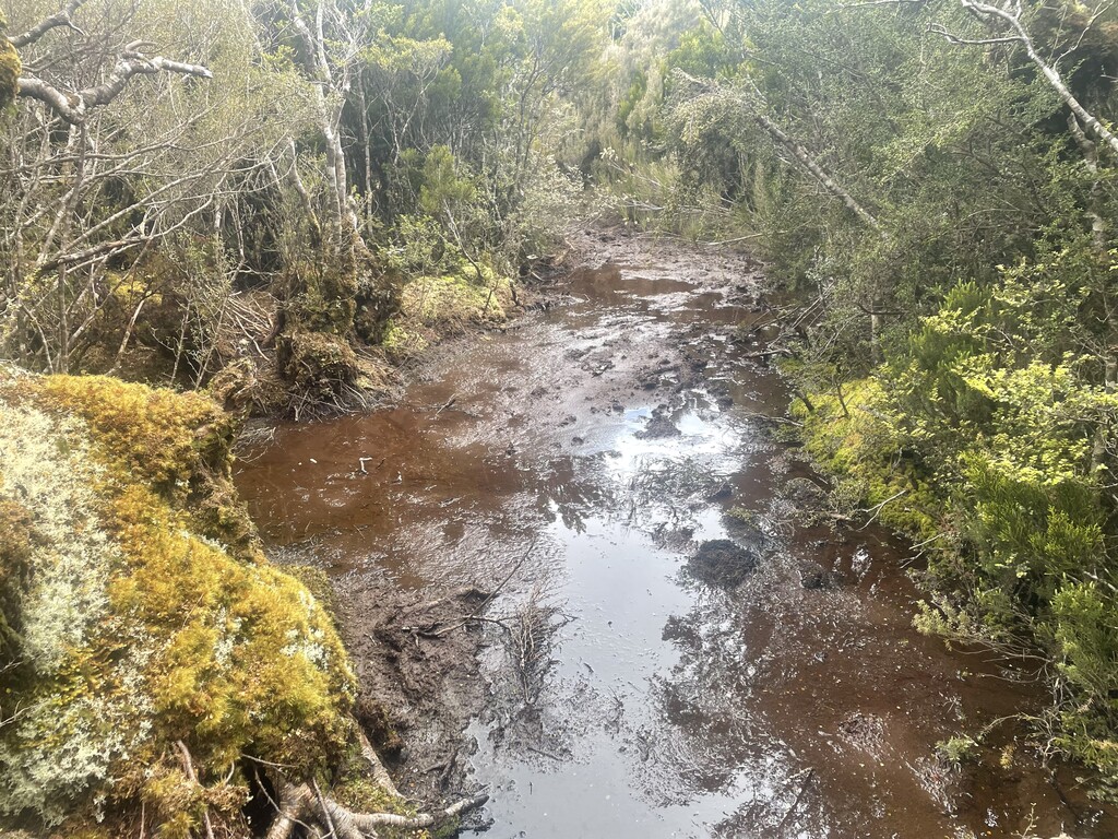
The weather in the North Island was dreadful, being the wettest 'Spring' on record, with it raining heavilly most days. I was however determined to complete the trail and return to my family in Christchurch before Christmas, so boxed on through appalling weather for the Tongariro Crossing and the Tararua Ranges.
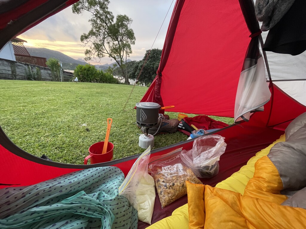
The last 2 weeks, south of Arthur's Pass were particularly hard with fatigue becoming more of an issue with the heavy pack weight necessitated by the self-supported category (typically around 10kgs), the long days and poor nights sleep. One aspect I hadn't appreciated would be so tough would be the time-pressures of such long days and the constant need to plan ahead and arrange travel and accommodation, particularly in the North Island and other 'Admin' such as clothes washing, communications, eating and washing. I am pleased to say that I didn't hitch a single lift for any resupply - all diversions to shops and accommodation were to/from the TA route on my own two feet ! Again, this adds time and fatigue compared to the supported-style.