
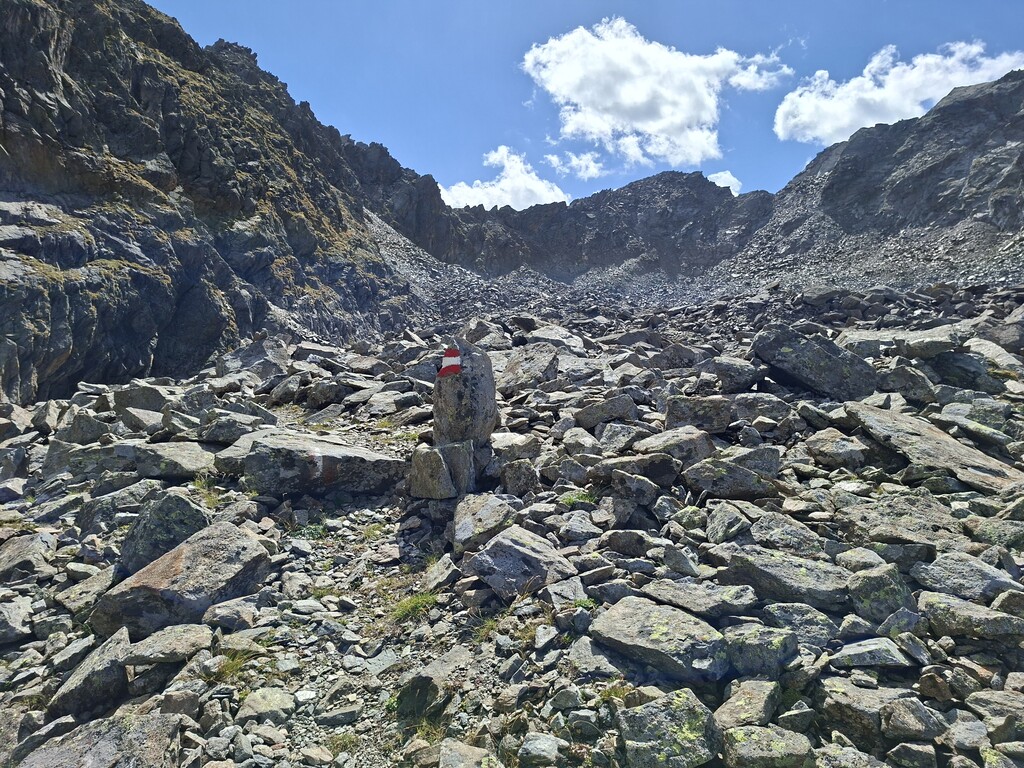
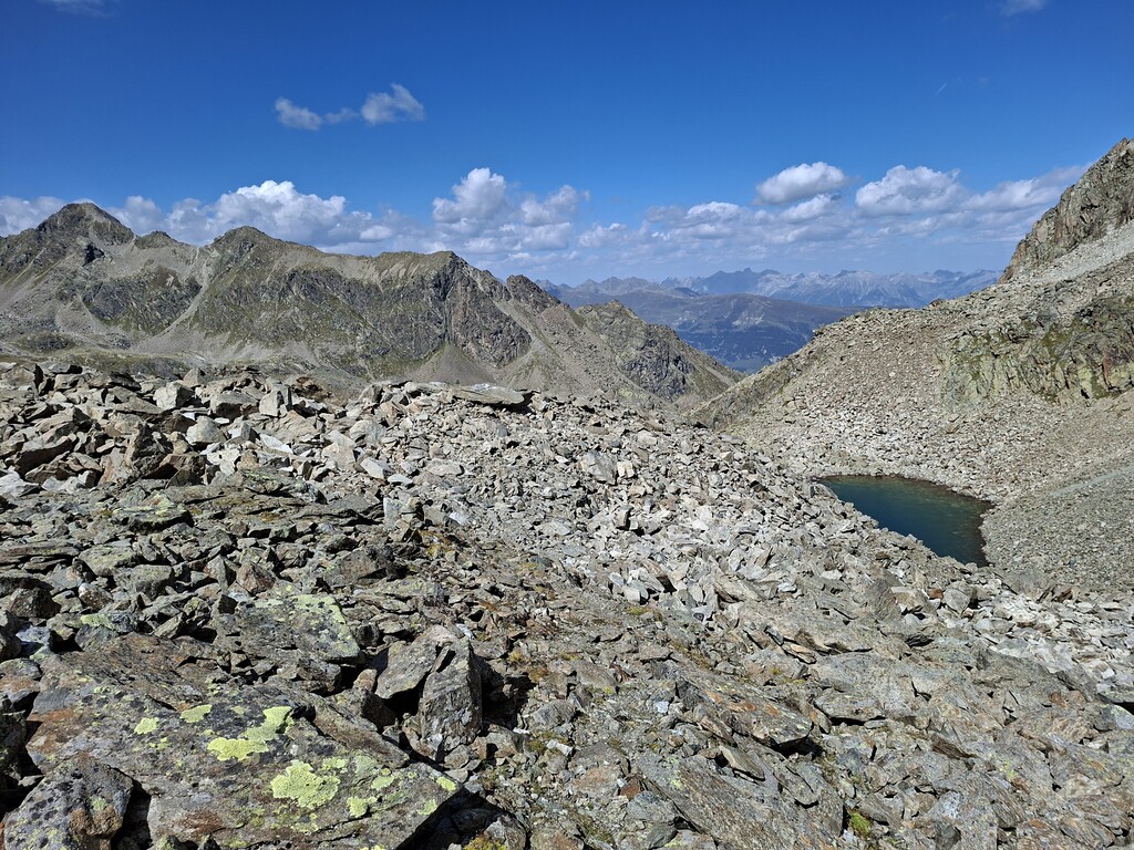
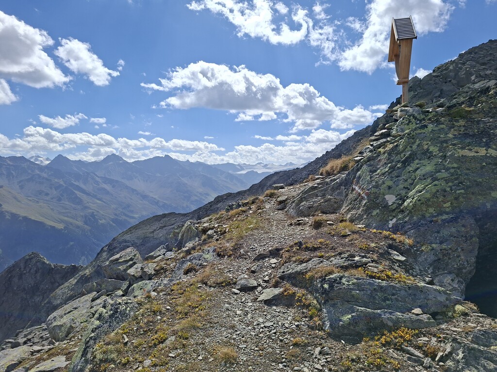
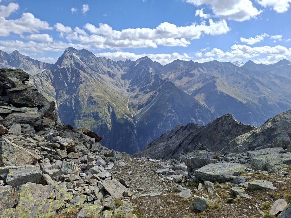
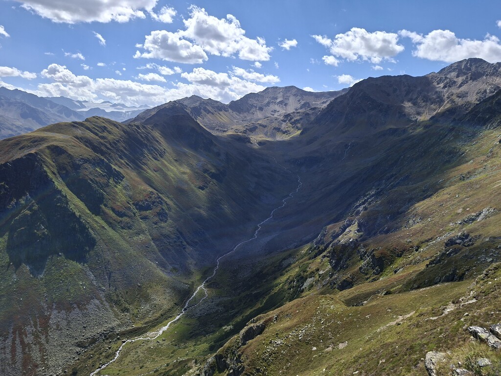
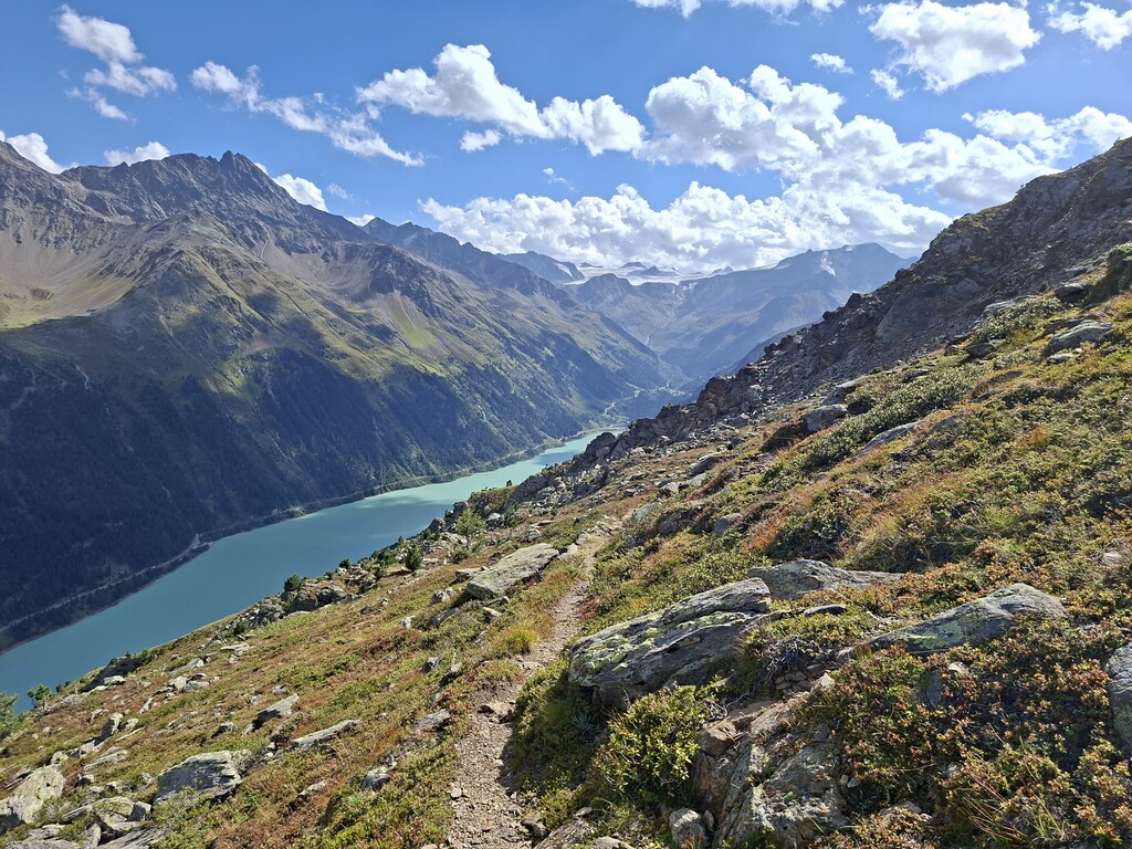
Before starting the official route, I went with the Sattelboden cable car up to the mountain station and from there approached to the Anton-Renk Hut (2,261 meters), the starting point of the Aachener Höhenweg. From there I first ascended to a high plateau and then went up to the Rifekarscharte (2,889 meters). I then descended into the Fisslad Valley. From there I crossed to the head of the valley and ascended to the Kreuzjöchl (2,639 meters). From Kreuzjöchl, I followed the path which gently slopes toward the end of the Gepatsch reservoir where the Nassereinalm (2,041 meters) is located. Then I followed the slope with gentle ups and downs to the final destination of the Aachener Höhenweg at the Gepatschhaus (1,928 meters). Terrain is mostly rocky and boulder-strewn, making it nearly impossible to run in much parts of the route. The Rifekarscharte and Kreuzjöchl are extremely exposed and steep. In some places, you’ll need to cross debris flows in steep terrain. I refilled my water from the many streams along the way. I had a few energy bars with me for snacks.