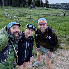
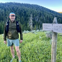
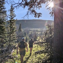
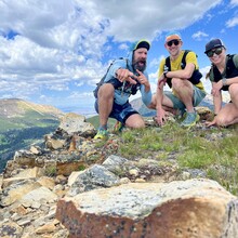
Tom Attard, Justin Grigg, and myself, Kristina Pattison, started the route at 6:16 am Mountain Time on July 6, 2024 from Antone Guard Station at the southeast end of the trail.
The day before, we met and shuttled from the Vigilante Guard Station at the northwest end of the trail. Driving between Vigilante and Antone cabins there are three potential routes. With limited experience in the region we tried the shortest route to the north through Ledford Creek Road and found the road impassable, losing about 1.5 hours. We settled on going north back through Twin Bridges which is normally about four hours of driving on good roads. By the time we got to Blacktail Road south of Dillon, we got a flat tire and had to return to Dillon on a nearly flat spare tire. The shuttle between these trailheads is mostly out of cell service and in remote areas, so we were lucky to make it finally to Antone trailhead before midnight.
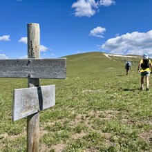
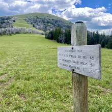
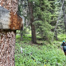
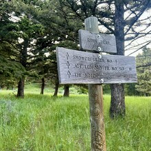
Starting the next day, it took approximately 45 min to find the beginning of Snowcrest Trail 4. After following the 670 trail northeast and eventually rerouting southwest along the 2 trail, we found a signed junction with the 4 trail which switchbacks to head northeast along Deer Creek.
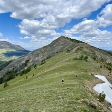
Snowcrest Trail climbs for approximately 18 miles to a highpoint at Stonehouse Mountain. Along the way, there is a spring about 7.5mi from the trailhead on the north side of the trail. Shortly after, and approximately eight miles from the start, the route climbs up to a ridge and instead of dropping into Peterson Basin to the east, the historical 4 trail has fallen into disuse and instead the route follows the ridgeline north and east on both the 669 and 614 trails for about 5 miles before reconnecting with the original 4 trail.
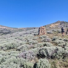
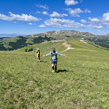
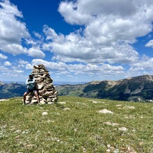
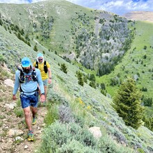
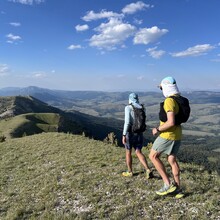
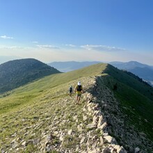
After doing some scouting, we decided to follow the reroute and head north over Stonehouse Mountain, through Honeymoon Park, and to the Notch about 15-miles from the finish. This entire ridgeline is absolutely breathtaking with views of surrounding mountain ranges, grazing elk, and miles of green grass and wildflowers.
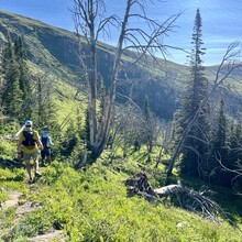
After dropping into the Notch, the trail follows the West Fork of Ruby River where we refilled our water before heading north to Ledford Pass. Just past Ledford Pass, around mile 25, we lost the trail which is infrequently marked and used rarely. We followed the creek closely before climbing back up to the trail about a half mile later. Not long after, the trail forks with trail 57 which heads to the west. Heading east into Devil’s Hole, we missed the trail junction again at about mile 27 where the trail climbs up the south ridge of Spur Mountain and had to reroute back to reconnect with the trail. From there, the trail is fairly easy to follow as it tracks along the contour on the west and north sides of Spur Mountain until about mile 31.5. Here we tried to follow the original trail 4 directly east down to Spring Creek. In this section, the trail again is rerouted further north around the 8600 ft spur ridge before switchbacking to the creek crossing.
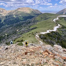
The final climb up to Snowcrest Mountain takes the trail back up to a picturesque ridgeline with views of the surrounding region. Finally, it descends down many switchbacks into the Lewis Creek Drainage where the northern terminus of the trail 4 would be at the junction with FS Road 952. We continued tracking until the junction of Road 952 with Ruby Creek Road 100, as this section of 952 is no longer officially open to motorized vehicles.
Near nightfall, we at last reached the end of the trail about 14.5h later with a total of about 43 miles, 9500 ft of ascent, and over 11400 ft of descent. The elevation on this route varies from 6134 ft at Lewis Creek to 10,075 ft at the top of Stonehouse Mountain, averaging about 8600 ft altitude along the way.
From there we shuttled the four hours back to our camp at Antone Station arriving sometime after midnight.

