
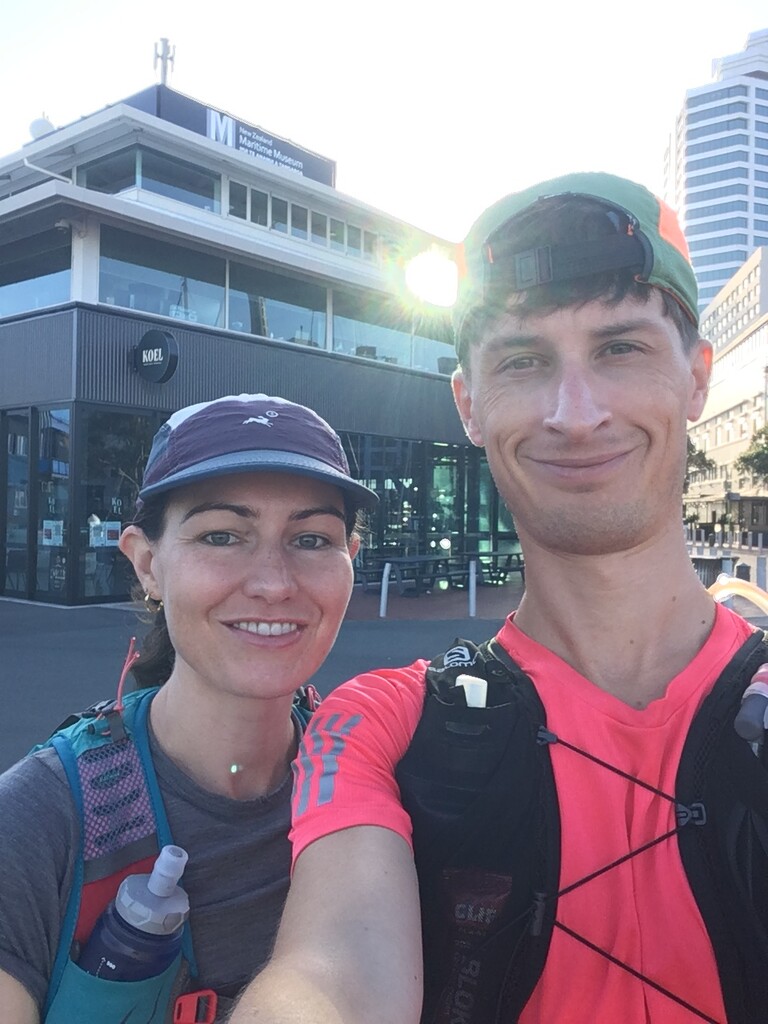

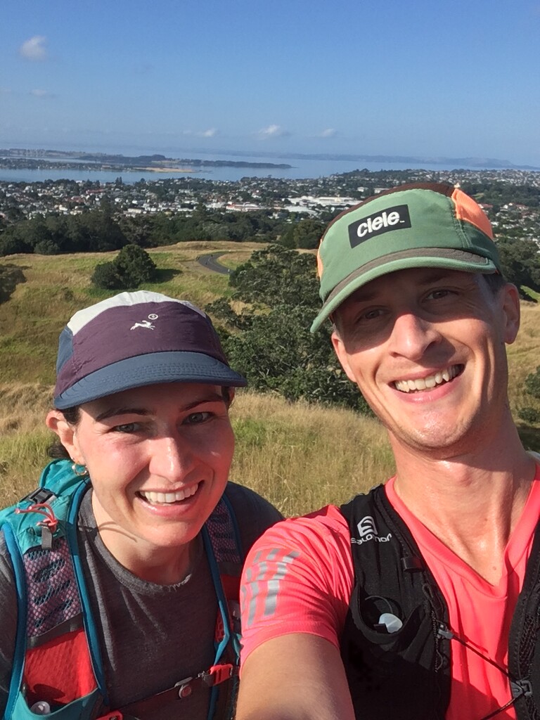
30.01.22 was our attempt at the one-way Auckland Coast to Coast FKT as a Mixed-Gender Team. Starting from the Maritime Museum, finishing at Onehunga Bay Reserve- we were pretty confident we could do the run in under 2hrs having run most bits of it before.
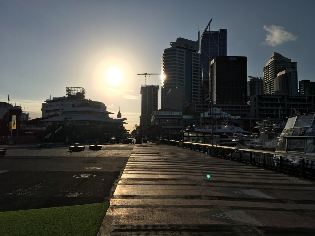
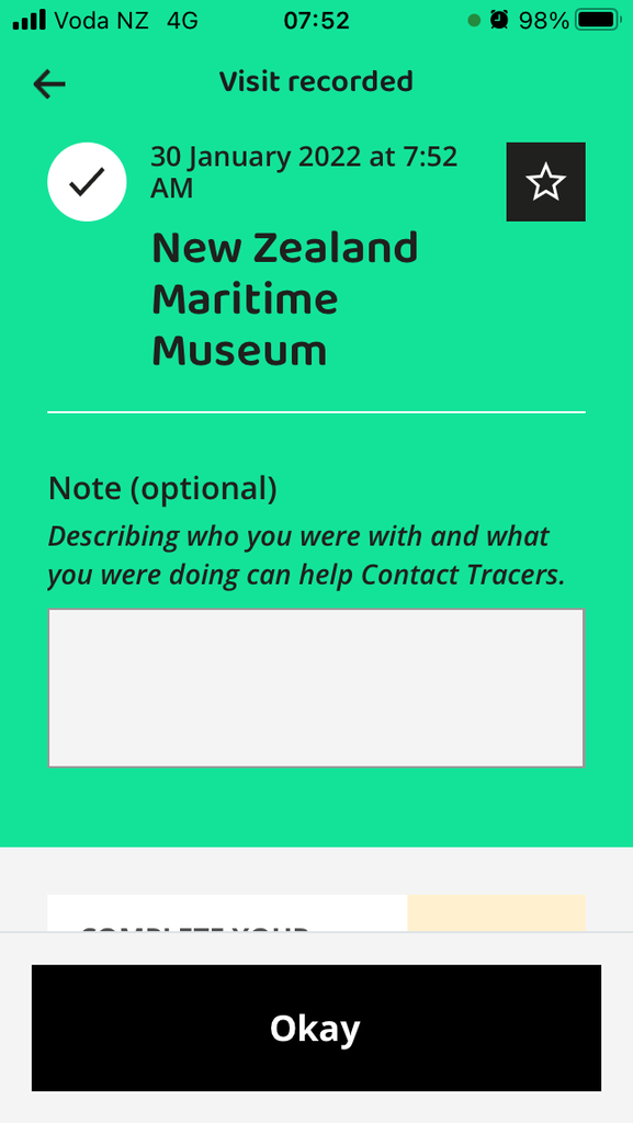
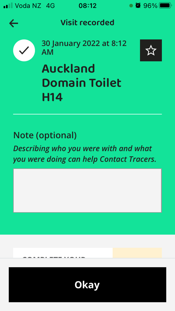
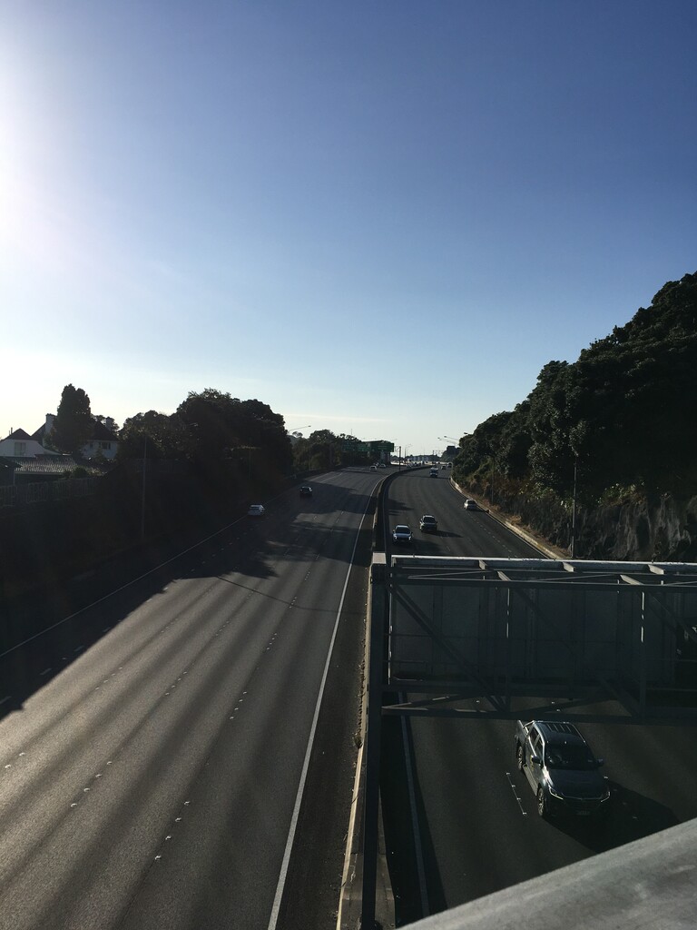
To beat the summer sun, we attempted being 'morning-people'. Arrived at the local bus stop without a bus pass so had an unplanned warm up sprinting back to the house and missed the intended bus. Downtown coffee and croissant, then used the Covid tracer app to scan the Maritime Museum QR code. Set off just before 8am and traffic downtown was no drama with it being a public holiday/covid.
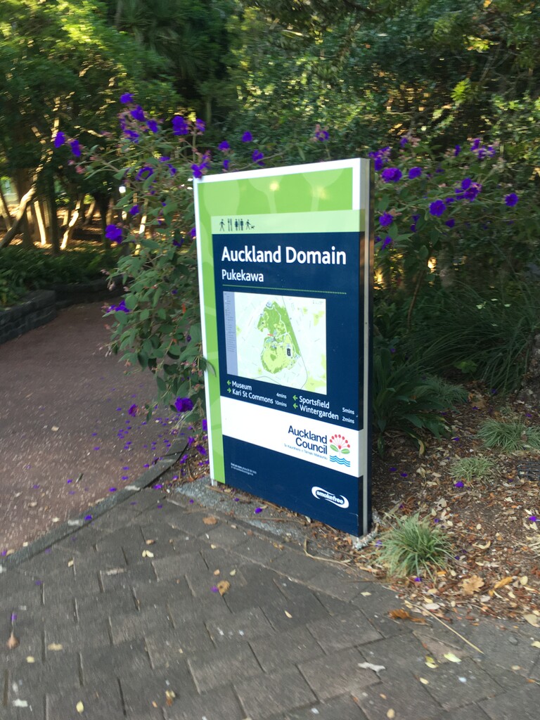
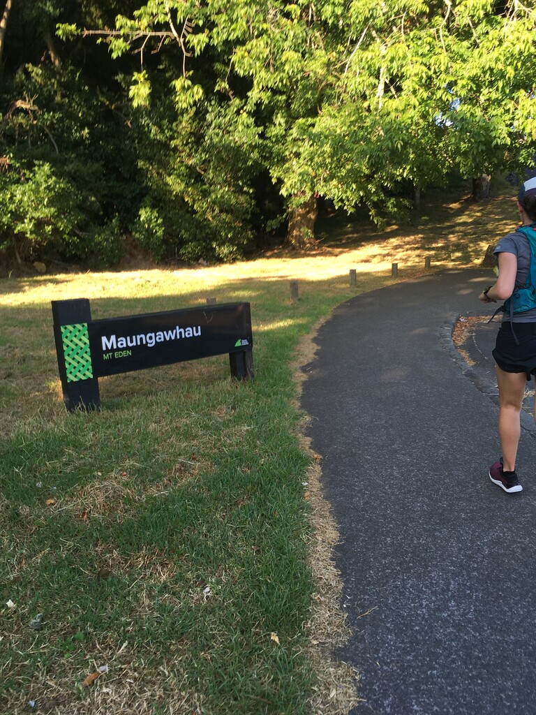
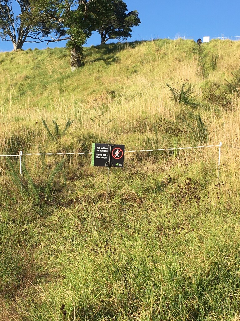
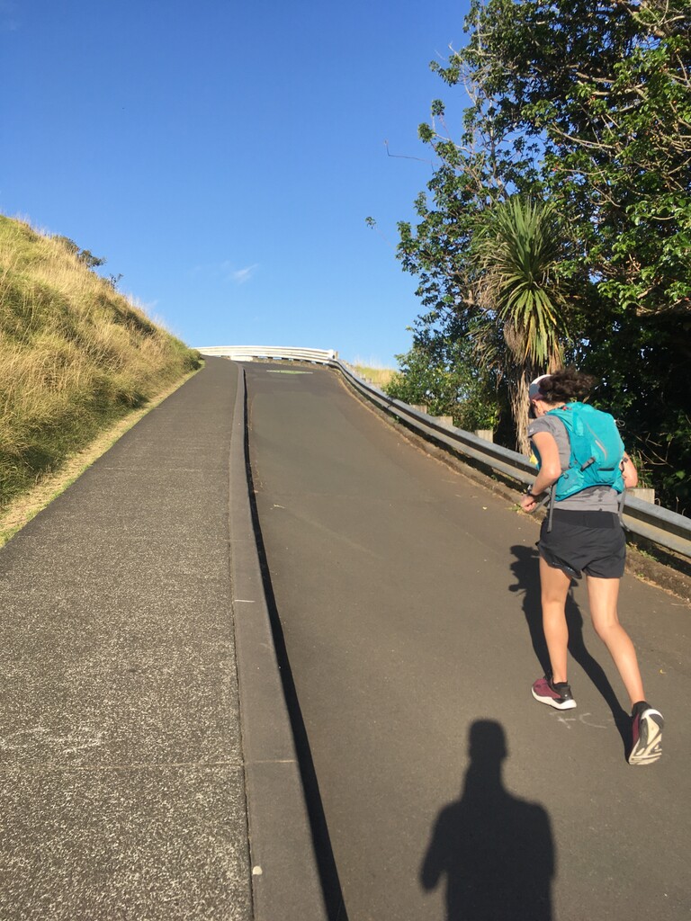
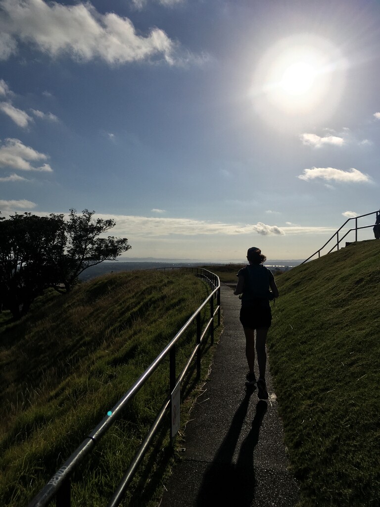
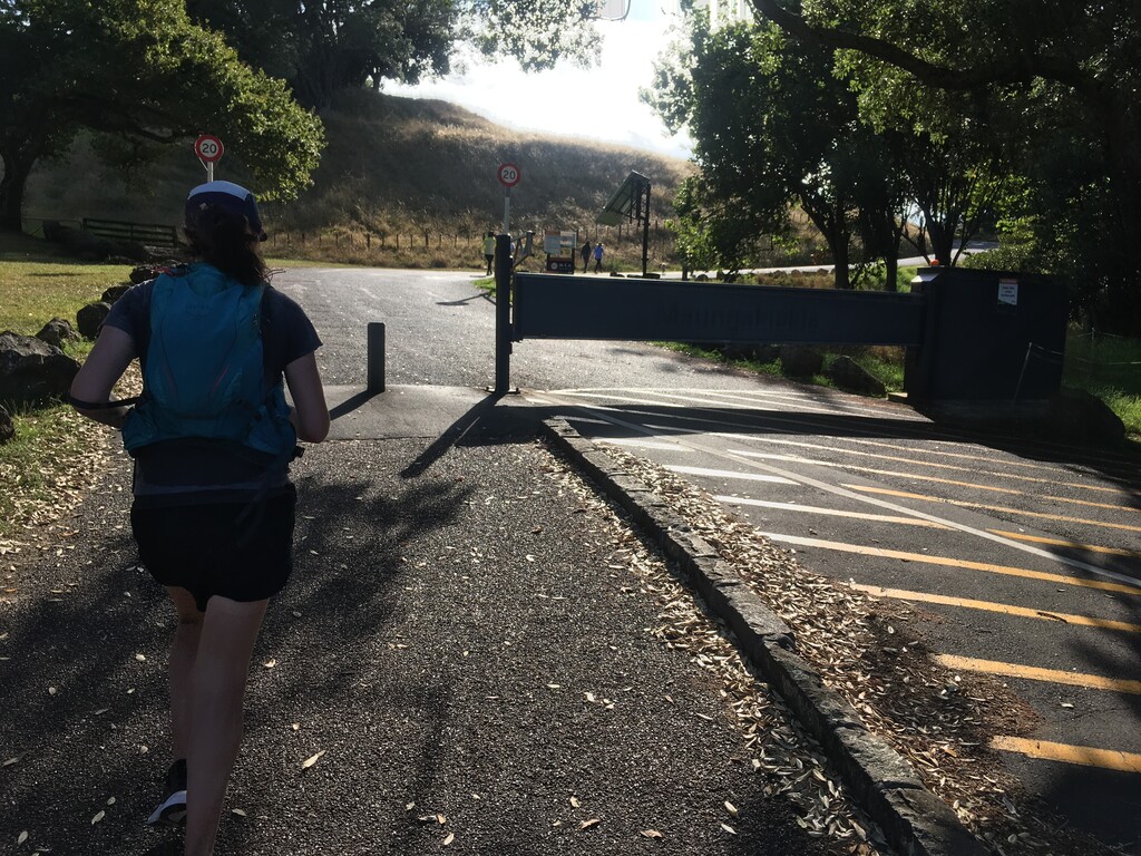
As a previous runner of this route noted, its difficult to follow the exact route at Mt Eden and One Tree Hill as it seems tracks have changed. On Mt Eden, we followed the route as close as possible but finding the route down from the ridge back onto Puhi Huia Rd was unmarked and that short stretch of track is either overgrown or not there at all. We used groups of trees on the satellite map as the point to turn down to the road.
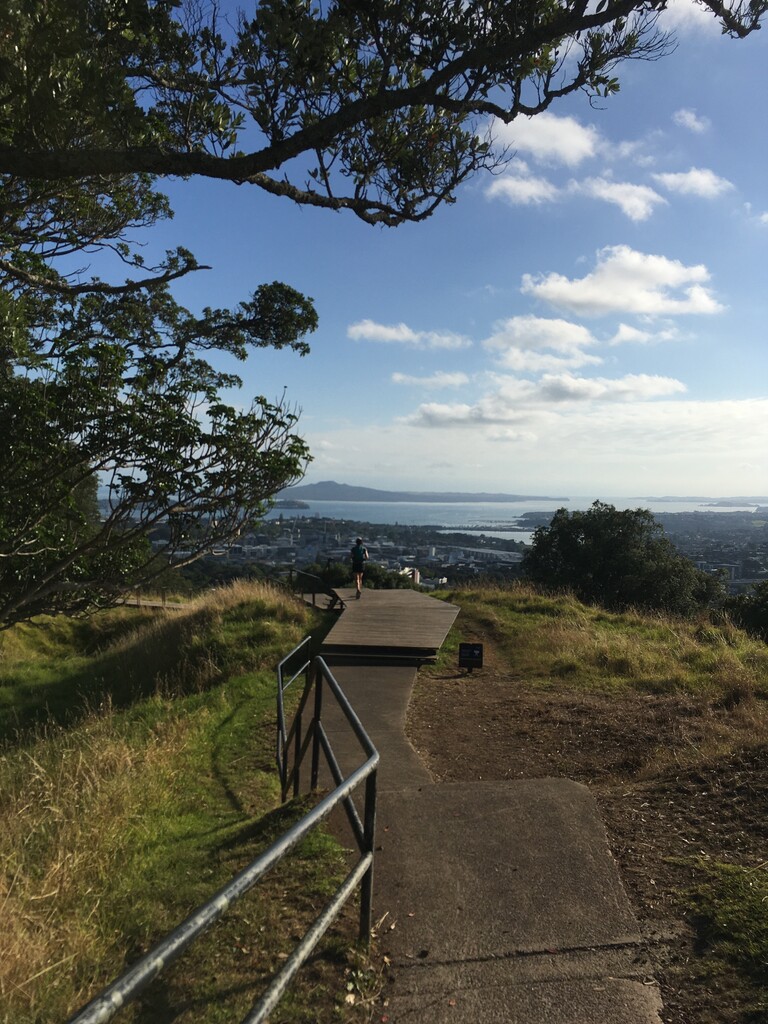
The route to One Tree Hill was straightforward. We took the road up to the summit keeping an eye out for gates through the fence that we'd use for the weird FKT route back down. We could see a gate in, but there was no gate back to the road at the point shown on the FKT map. Hopefully the route that we took here was correct.
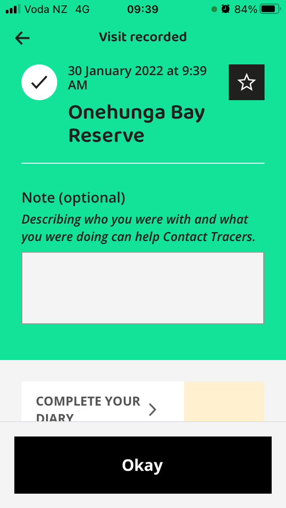
A relatively short downhill to the route end from there. At the finish point- one Garmin had the distance as expected, the other came up just short of the expected 16.4km distance so we ran an extra 100m or so to the car park and out onto the pontoon just to make up the distance. We sopped our watches on the pontoon and used that as our elapsed time just to be on the safe side. Scanned the Covid tracer app again at the public toilets in the carpark shortly afterward.
All in all, a decent run. If doing it again, the reverse route would offer a nicer spot for the finish with lots of places for food and a beer afterward. Worth noting that there's nowhere for food immediately in the vicinity of the Western end of the route. We had little in the way of breeze or cloud cover so we were glad to be finished relatively early. We carried 3.75L of water between us (using approx 2L) and used four ShotBloks in total.
Agree with the previous runner that the route could be more clear but would give it another go in future.
Happy Running,
Fastest Kate & Tom.