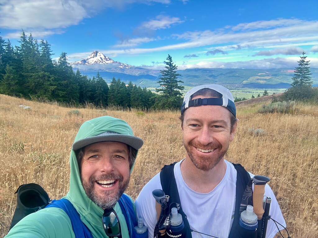
Connor and I ran this together and unsupported. We started at the North end, so we'd have net downhill the second half. We made a side quest (wrong turn) to Mary's Place, which added about 3.5 miles and ~450 feet of elevation gain. Then, we backtracked to get back on the trail and continued. We took a short rest at the South trailhead, then got moving. The net downhill was appreciated.
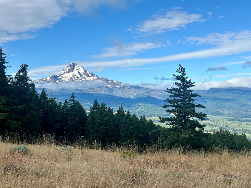
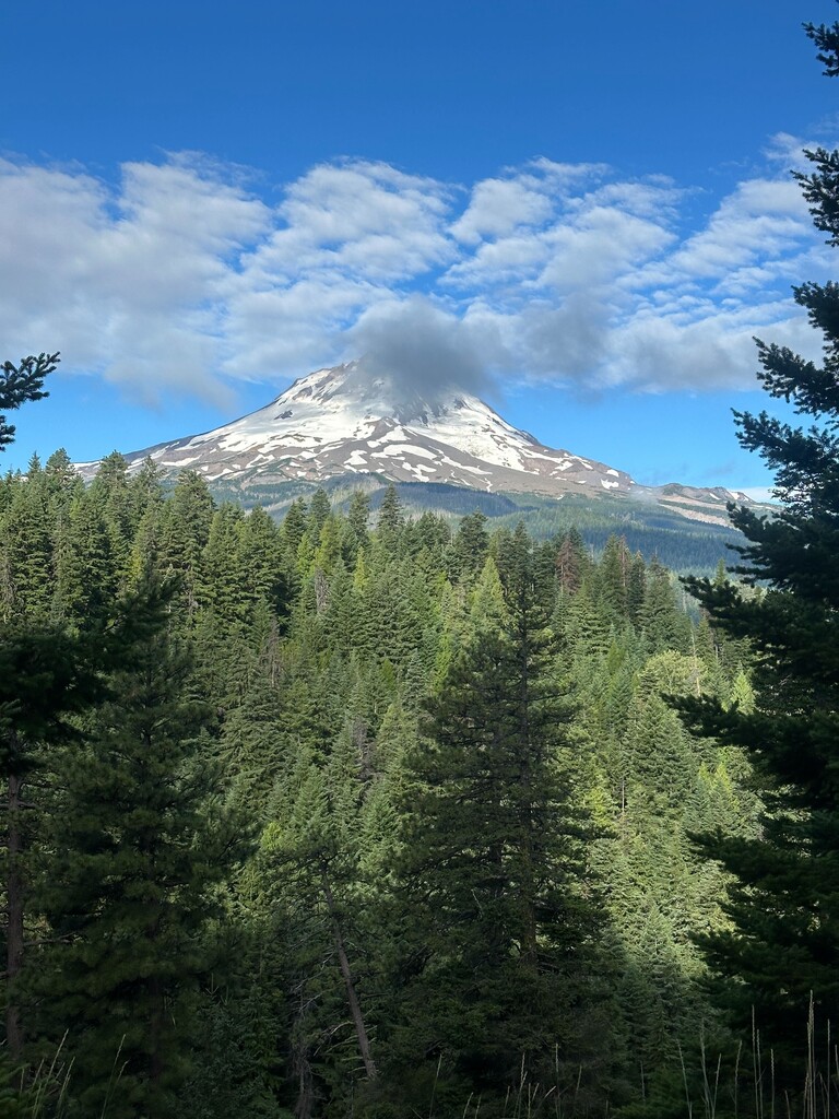
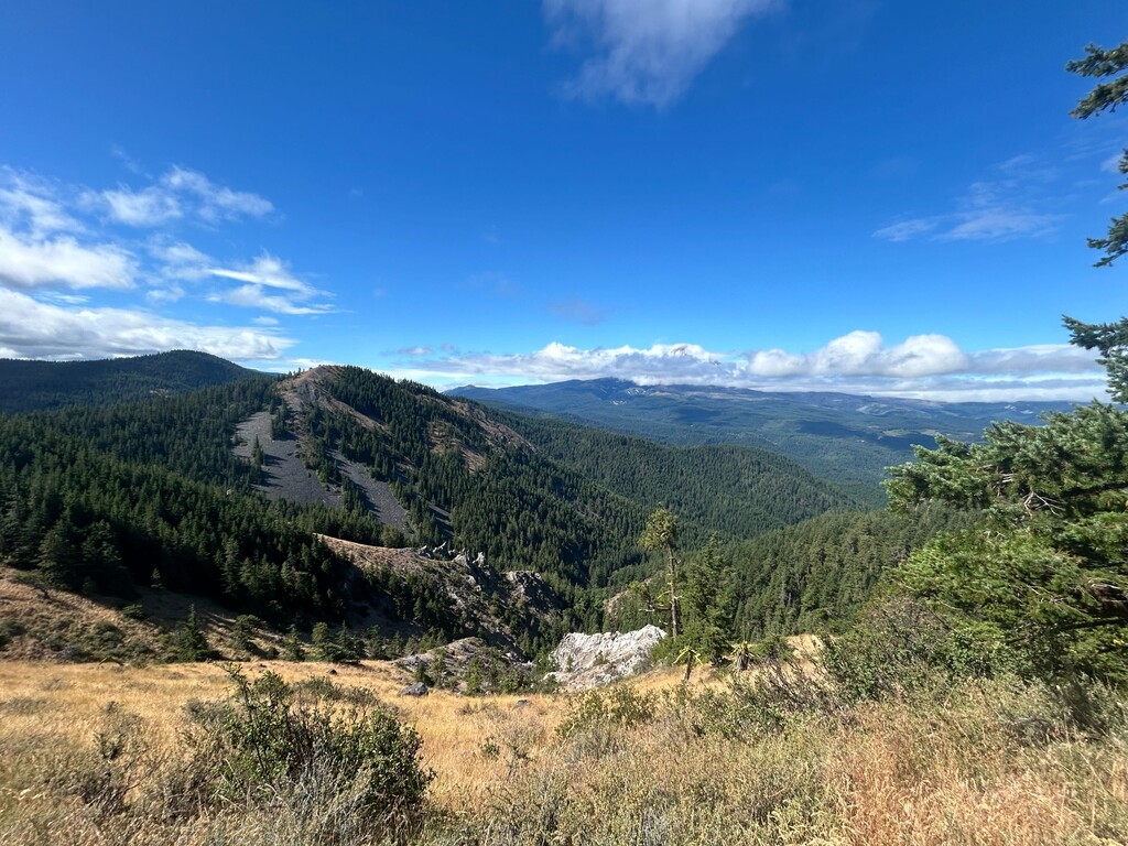
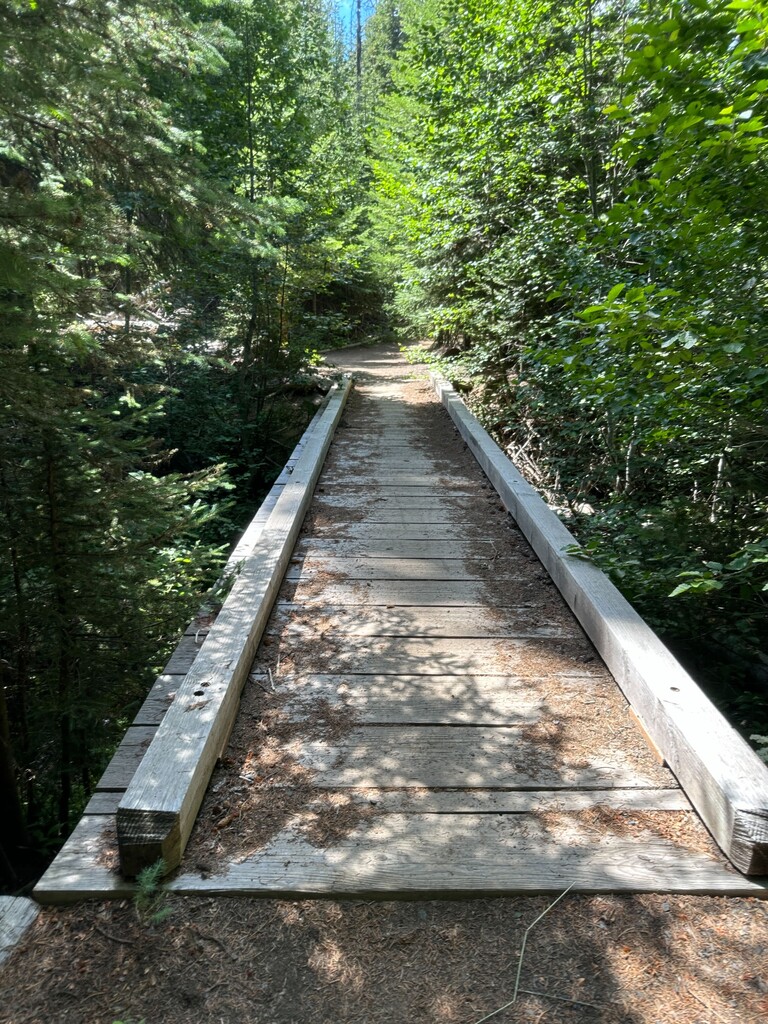
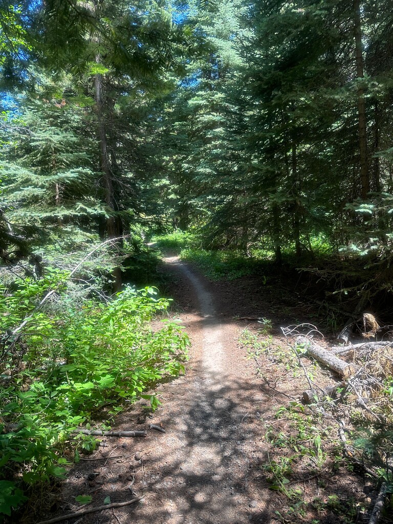
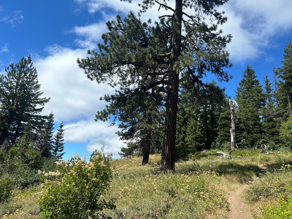
This is an underrated trail. Despite being known as a mountain bike trail (we saw 6 bikes all day), the trail is a good running trail, with some technical, rocky sections. We were expecting an overcast day and were pleasantly surprised with gorgeous views of Mt. Hood. There are more exposed sections on the North part of the trail, while the South end is in the trees. Navigation on the South end is little tricky, hence our wrong turn... we kept following the trail signs when we should have hopped off at the road. Cell service was intermittent, so downloading a route map is key.
We carried 2.5 to 3 liters of water each and a filter. There was a creek towards the South end - that was the only water source we saw for this time of the year. We grabbed a little more water at the creek. The road mostly parallels the trail, so good outs if you really needed to. Getting to the North and South trailheads was easy, with good parking.
If we were running the out and back again, we'd still start at the North end. If we were doing a one way, we'd start at South end for that net downhill.